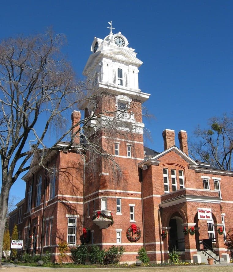
Photo: Wikipedia
Strategic Assessment of Lawrenceville, GA
Meaningful friction. Expect exposure to either population pressure, blast zones, or natural disaster risk. Consider buying a retreat property.
What does the Strategic Assessment tell us?
Our Strategic Assessment grades tactical survivability of an area. Major population centers, military targets, fallout zones, natural disasters, and border exposure all drive risk — lower exposure means a more defensible position in a crisis.
This is heavily inspired by Joel Skousen's Strategic Relocation book. Highly recommended you checkout the book ($)What does this tell us?
Our Strategic Assessment grades tactical survivability of an area. Major population centers, military targets, fallout zones, natural disasters, and border exposure all drive risk — lower exposure means a more defensible position in a crisis.
This is heavily inspired by Joel Skousen's Strategic Relocation book. Highly recommended you checkout the book ($)Strategic Pillars

Key Distances
Regional Safe Places
Below is our recommended "safe zones" in Georgia and the surrounding area based on our strategic heuristics. For most people, it's unrealistic to live in a “safe zone” full-time due to work, family or other personal reasons. They tend to be more rural. However, many of these areas are perfect for second homes and retreat properties that double as a vacation home or even a short-term rental.


Important Note: For informational purposes only. This does not mean nothing bad ever happens in the green zones. Please use common sense. This is based on public data and modeled with AI. We tried to take a conservative approach but mistakes happen. We update this regularly as new information becomes available.
Solar Generator Recommendations
Backup power matters more here than in safer locations. We've picked three solar generators across budgets and capacity tiers — start with the budget unit if you only need a few essentials, or step up if you want to run a fridge and HVAC for days at a time.

Jackery Portable Power Station Explorer 300
Budget OptionPower on the Go: Weighing only 11 lbs, it's convenient to set up and store with book-sized foldable solar panels

BLUETTI Portable Power Station AC180
Designed for both indoor and outdoor scenarios, AC180 is highly capable as it has a robost capacity and continuous output power.

EF ECOFLOW DELTA Pro Ultra Power Station
Upgraded PickEcoFlow DELTA Pro Ultra is a whole-home energy system designed to grow with your family. Integrated with the Smart Home Panel 2, it scales to meet your evolving energy needs — keeping your home powered, intelligent, and secure through every stage of life.
We earn a commission, at no additional cost to you.
Strategic Assessment Analysis
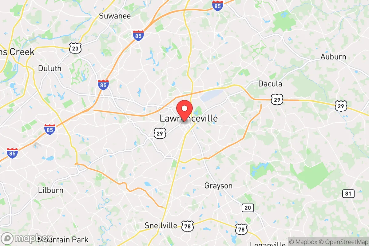
Lawrenceville, Georgia, presents a mixed strategic picture for the conservative prepper. While its location along the I-85 corridor offers economic resilience and access to resources, that same proximity to Atlanta—roughly 30 miles northeast—introduces significant vulnerabilities in a collapse scenario. The city’s growth over the past decade, driven by Gwinnett County’s booming population (now over 1 million), means you’re not in a remote redoubt; you’re in a densely populated suburban hub that could become a chokepoint during civil unrest or a disaster. The key question for a relocator is whether Lawrenceville’s local governance, infrastructure, and community networks can offset the risks of being within the blast radius of a major metropolitan target.
Geographic position and natural advantages for long-term survival
Lawrenceville sits in the Piedmont region, roughly 1,000 feet above sea level, which provides a modest elevation advantage over the coastal plains and the Atlanta basin. The area is not prone to hurricanes, earthquakes, or wildfires at the scale seen in the West. The primary natural threats are severe thunderstorms, occasional tornadoes (typically EF-0 to EF-2), and ice storms that can knock out power for days. The region’s red clay soil is poor for large-scale agriculture without serious amendment, but the long growing season (April to October) and average 50 inches of annual rainfall mean you can supplement food production with raised beds or greenhouses. The nearby Chattahoochee River, about 15 miles west, is a major water source, but it’s also a contested resource—Atlanta draws from it heavily, and during a drought, water rights could become a flashpoint. For a prepper, the natural advantages are moderate: decent water availability, mild winters, and no extreme weather, but the soil and the sheer number of people competing for those resources are real constraints.
Risks, exposures, and proximity to fallout-relevant landmarks
The single biggest strategic liability is Lawrenceville’s position relative to Atlanta. Hartsfield-Jackson Atlanta International Airport, the busiest in the world, is a prime target for any state-level adversary or terrorist group. A conventional strike or EMP event there would cripple the entire region’s supply chain. Lawrenceville is also within 20 miles of multiple major data centers, the CDC in Atlanta, and the Port of Savannah’s rail connections—all potential secondary targets. In a civil unrest scenario, the I-85 corridor becomes a funnel for refugees fleeing Atlanta, and Lawrenceville sits right on that highway. The city’s own infrastructure—Gwinnett County’s water treatment plants, the local power grid, and the county jail—could become chokepoints. The presence of a large, diverse population (Gwinnett is one of the most ethnically diverse counties in the Southeast) means that during a breakdown, you’re not dealing with a homogeneous community; you’re dealing with a complex mix of political and cultural factions. For a conservative prepper, this is a high-risk environment for social cohesion during a crisis. The proximity to the Atlanta metropolitan statistical area (over 6 million people) means that any major disaster will overwhelm local resources within hours.
Practical resilience for a relocator: food, water, energy, and defensibility
Let’s get down to brass tacks. Water: Lawrenceville’s municipal water comes from the Chattahoochee and Lake Lanier, but both are subject to drought restrictions and upstream competition. A well is your best bet, but drilling costs in the Piedmont’s granite bedrock can run $10,000–$15,000, and you’ll need a permit from Gwinnett County. Rainwater catchment is legal but limited to non-potable uses unless you treat it. Food: Local grocery stores like Publix and Kroger are well-stocked in normal times, but supply chains are fragile. The nearest major distribution centers are in Atlanta and Buford. For long-term food security, you’ll need to rely on gardening, but the clay soil requires raised beds or imported topsoil. The local farmers’ markets (e.g., Lawrenceville Farmers Market) are decent but seasonal. Energy: Georgia Power’s grid is reliable day-to-day, but ice storms in 2014 and 2022 caused multi-day outages. Solar is viable—Georgia gets about 218 sunny days per year—but net metering policies are average, and you’ll need battery storage for true off-grid capability. Natural gas is available in most neighborhoods, which is a plus for backup generators. Defensibility: This is the weak point. Lawrenceville is a suburban grid of subdivisions, strip malls, and arterial roads. There are no natural chokepoints like mountains or rivers that funnel movement. Your home’s defensibility depends entirely on your specific lot—corner lots are bad, cul-de-sacs are better, and rural acreage north of the city (toward Dacula or Auburn) is far more defensible. The local police presence is strong (Gwinnett County PD is well-funded), but in a SHTF scenario, they’ll be overwhelmed. The county’s emergency management is competent but focused on natural disasters, not prolonged civil unrest. For a single individual or family, the practical takeaway is that Lawrenceville is a decent place to stockpile and wait out a short-term crisis (2–4 weeks), but it’s not a long-term bug-out location. You’ll need a secondary retreat further north, toward the Blue Ridge Mountains, for a true collapse scenario.
The overall strategic picture for Lawrenceville is one of calculated risk. It’s not a prepper paradise, but it’s not a death trap either. If you’re a conservative relocator who needs to stay within commuting distance of Atlanta for work or family, Lawrenceville offers a middle ground: decent infrastructure, a growing conservative minority (Gwinnett County voted for Trump in 2024 by a narrow margin, but the county commission is still Democrat-controlled), and access to regional resources. The real danger is complacency. The city’s suburban comfort can lull you into thinking you’re safe, but the reality is that you’re living in a high-density target zone with limited defensibility and fragile supply lines. If you’re serious about resilience, treat Lawrenceville as a base camp, not a fortress. Invest in a well, solar panels, and a bug-out vehicle. Build relationships with like-minded neighbors—there are active prepper and gun communities in the area, including the Gwinnett County Gun Club and local 2A groups. And always have a plan to get north if the grid goes down for more than a week. Lawrenceville can work, but only if you treat it as a strategic stepping stone, not a final destination.
* Values derived from national, state, county, city and local statistics and may differ in a specific area. Last updated: 2026-04-24T08:36:58.000Z
Narrative content on this page is AI-generated and may contain mistakes. Verify any details that matter before acting on them.
ReloMaps may earn a commission from affiliate links at no extra cost to you.