
Photo: Wikipedia
Strategic Assessment of Lebanon, OR
Meaningful friction. Expect exposure to either population pressure, blast zones, or natural disaster risk. Consider buying a retreat property.
What does the Strategic Assessment tell us?
Our Strategic Assessment grades tactical survivability of an area. Major population centers, military targets, fallout zones, natural disasters, and border exposure all drive risk — lower exposure means a more defensible position in a crisis.
This is heavily inspired by Joel Skousen's Strategic Relocation book. Highly recommended you checkout the book ($)What does this tell us?
Our Strategic Assessment grades tactical survivability of an area. Major population centers, military targets, fallout zones, natural disasters, and border exposure all drive risk — lower exposure means a more defensible position in a crisis.
This is heavily inspired by Joel Skousen's Strategic Relocation book. Highly recommended you checkout the book ($)Strategic Pillars

Key Distances
Regional Safe Places
Below is our recommended "safe zones" in Oregon and the surrounding area based on our strategic heuristics. For most people, it's unrealistic to live in a “safe zone” full-time due to work, family or other personal reasons. They tend to be more rural. However, many of these areas are perfect for second homes and retreat properties that double as a vacation home or even a short-term rental.


Important Note: For informational purposes only. This does not mean nothing bad ever happens in the green zones. Please use common sense. This is based on public data and modeled with AI. We tried to take a conservative approach but mistakes happen. We update this regularly as new information becomes available.
Solar Generator Recommendations
Backup power matters more here than in safer locations. We've picked three solar generators across budgets and capacity tiers — start with the budget unit if you only need a few essentials, or step up if you want to run a fridge and HVAC for days at a time.

Jackery Portable Power Station Explorer 300
Budget OptionPower on the Go: Weighing only 11 lbs, it's convenient to set up and store with book-sized foldable solar panels

BLUETTI Portable Power Station AC180
Designed for both indoor and outdoor scenarios, AC180 is highly capable as it has a robost capacity and continuous output power.

EF ECOFLOW DELTA Pro Ultra Power Station
Upgraded PickEcoFlow DELTA Pro Ultra is a whole-home energy system designed to grow with your family. Integrated with the Smart Home Panel 2, it scales to meet your evolving energy needs — keeping your home powered, intelligent, and secure through every stage of life.
We earn a commission, at no additional cost to you.
Strategic Assessment Analysis
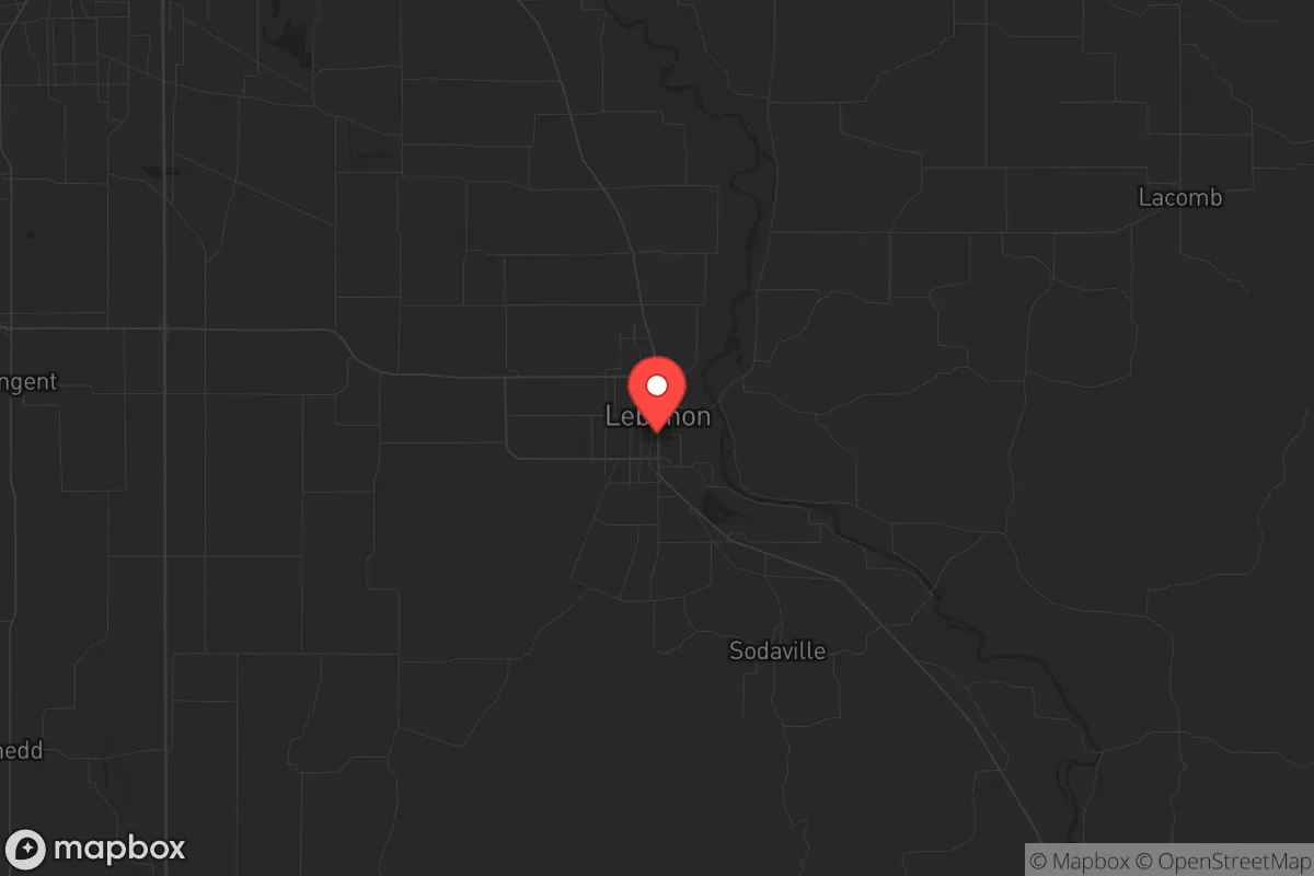
Lebanon, Oregon, offers a strategic blend of geographic isolation and practical self-sufficiency that appeals to those prioritizing long-term resilience. Tucked in the Willamette Valley’s southern edge, this town of roughly 20,000 sits far enough from Portland’s urban core—about 70 miles—to avoid the immediate chaos of a major collapse, yet close enough to the Cascade Range and the Santiam River for critical resource access. For a relocator with a prepper mindset, Lebanon’s position provides a buffer against the cascading failures that often follow civic unrest or mass casualty events, while its agricultural surroundings and low population density make it a viable base for sustained independence.
Geographic position and natural advantages for long-term security
Lebanon’s location is its primary strategic asset. The city lies at the junction of the South Santiam River and the Willamette Valley floor, giving residents direct access to a reliable freshwater source—critical for both drinking and irrigation in a grid-down scenario. The surrounding terrain transitions from flat farmland to the foothills of the Cascade Range, offering multiple escape routes into national forest land (Willamette National Forest is less than 30 miles east) if urban evacuation becomes necessary. The valley’s moderate climate, with annual rainfall around 45 inches, supports year-round food production without the extreme heat or cold that stresses other regions. For a conservative-leaning individual concerned about federal overreach or supply chain disruptions, this means the ability to grow staple crops like potatoes, beans, and squash without relying on imported water or energy-intensive greenhouses. The area’s volcanic soil, part of the broader Willamette Valley’s agricultural belt, is among the most fertile in the Pacific Northwest, making small-scale farming viable even for newcomers with limited experience.
Risks, exposures, and proximity to fallout-relevant landmarks
No location is without vulnerabilities, and Lebanon has several that demand attention. The most immediate risk is its proximity to Interstate 5, the primary north-south corridor on the West Coast, which runs about 15 miles west of town. In a mass evacuation scenario—whether from a Cascadia Subduction Zone earthquake, a terrorist attack on Portland, or a nuclear incident at the Trojan Nuclear Plant site (just 20 miles northwest, now decommissioned but still a potential target for sabotage or secondary contamination)—I-5 would become a chokepoint of gridlock and desperation. Lebanon itself sits outside the immediate blast or fallout zones of major military or industrial targets, but prevailing westerly winds could carry radioactive debris from a Portland-area strike or a Hanford Site incident (about 200 miles east) into the valley. The city’s location in a floodplain along the Santiam River also poses a seasonal risk: heavy winter rains or a dam failure upstream could inundate low-lying neighborhoods, particularly near the river’s southern edge. For the prepper, this means securing property on higher ground—east of the river, toward the Cascades—is non-negotiable. Additionally, the region’s seismic risk from the Cascadia fault (a magnitude 9.0 event is estimated at a 37% probability in the next 50 years) would sever road access to Portland and Salem for weeks, making Lebanon’s self-reliance both a necessity and a test of its preparedness.
Practical resilience for a relocator: food, water, energy, and defensibility
For a single individual or family looking to hunker down, Lebanon’s practical resilience is mixed but workable. The city’s municipal water supply draws from the Santiam River and local wells, but a prolonged power outage would disable pumping stations—so a backup well with a hand pump or a rainwater catchment system is essential. The area’s high water table means shallow wells are feasible, and many rural properties already have them. Food security is strong: the surrounding Linn County is a top producer of grass seed, hazelnuts, and berries, and local farmers’ markets operate year-round in nearby Albany and Corvallis. For long-term storage, Lebanon’s cool, dry climate (average summer highs in the low 80s) allows for root cellaring without refrigeration. Energy independence is achievable via solar panels—the region gets about 150 sunny days per year, less than the Southwest but enough for a modest off-grid system with battery backup. Wood heating is common, with abundant firewood from the nearby forests, but note that air quality regulations in the valley can restrict burning during inversions. Defensibility is a key concern: Lebanon’s layout is a mix of older neighborhoods with narrow streets and newer subdivisions with cul-de-sacs, making it difficult to secure a perimeter against a determined group. However, the surrounding rural areas offer better options—properties with long driveways, tree cover, and natural barriers like creeks or hillsides are available within a 10-minute drive of town. The local sheriff’s office (Linn County) is underfunded and response times in rural areas can exceed 30 minutes, so a well-stocked armory and a neighborhood watch network are practical investments. For those concerned about civil unrest, Lebanon’s small-town culture—where many residents are armed and familiar with hunting—acts as a deterrent, but it also means outsiders are viewed with suspicion until they prove their self-reliance.
The overall strategic picture for Lebanon, Oregon, is one of cautious viability for the conservative prepper. It offers the natural resources—water, fertile soil, timber, and moderate climate—to sustain a family through a multi-year disruption, while its distance from major population centers reduces exposure to the worst fallout from urban collapse. The trade-offs are real: seismic risk, floodplain exposure, and the ever-present threat of I-5 becoming a corridor of desperation. But for someone willing to invest in elevation, backup systems, and community integration, Lebanon provides a foundation that many other Pacific Northwest towns lack—namely, the ability to produce food and water locally without relying on fragile supply chains. It’s not a fortress, but it’s a defensible outpost in a region that will see significant pressure in the coming decades. The key is to arrive prepared, not expecting the town to save you, but to give you a fighting chance.
* Values derived from national, state, county, city and local statistics and may differ in a specific area. Last updated: 2026-05-05T08:08:35.000Z
Narrative content on this page is AI-generated and may contain mistakes. Verify any details that matter before acting on them.
ReloMaps may earn a commission from affiliate links at no extra cost to you.