
Photo: Wikipedia
Demographics of Milford, DE
Affluence Level in Milford, DE
A below-average socioeconomic profile. Incomes, home values, and educational attainment trail the U.S., with higher poverty and unemployment.
People of Milford, DE
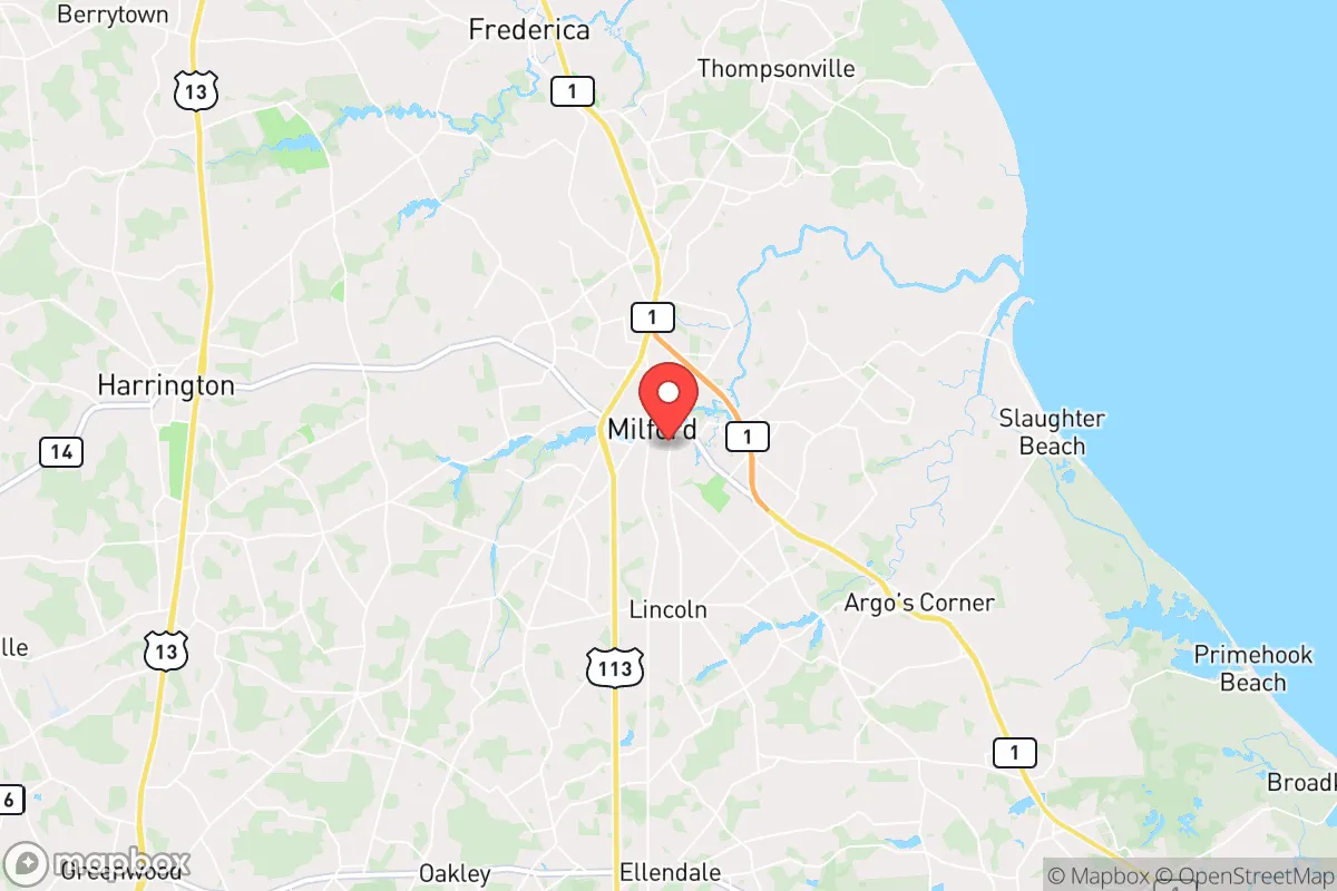
Milford, Delaware, is a city of 12,193 residents that has transformed from a historic shipbuilding and canning hub into a racially and economically diverse community where no single group holds a majority. The city’s population is 51.6% White, 24.7% Black, 14.8% Hispanic, 3.4% Indian (subcontinent), and 1.2% East/Southeast Asian, with 10.5% foreign-born and 30.0% holding a college degree. This demographic mix reflects distinct settlement waves that have layered over one another, creating a city where older White and Black neighborhoods coexist with newer immigrant enclaves. Milford today is a place of transition—still anchored by its historic downtown but increasingly shaped by suburban growth and a rising Hispanic and Indian presence.
How the city was settled and grew
Milford’s original population was drawn by its position on the Mispillion River, which made it a natural port for shipbuilding and trade in the 18th and 19th centuries. The city was formally laid out in 1807, and its early White settlers were primarily English and Scots-Irish farmers and merchants who built homes in the Historic District along Walnut and Front Streets, where many Federal-style houses still stand. By the mid-1800s, the canning industry—especially for peaches and oysters—fueled a second wave of growth, attracting Irish and German immigrants who settled in working-class areas like North Milford near the railroad tracks. African Americans, many descended from enslaved families who worked the surrounding farms, established a strong community in the South Milford area around Church Street, where the Mt. Zion African Methodist Episcopal Church (founded 1855) became a cornerstone. The early 20th century saw a modest influx of Italian and Polish laborers drawn to the canneries, who clustered in the East Milford neighborhoods near the river. By 1950, Milford was a predominantly White and Black city of about 5,000, with a small but established Jewish community centered on the Milford Hebrew Cemetery.
Modern era (post-1965)
The 1965 Hart-Cellar Act and subsequent immigration reforms reshaped Milford’s demographics, though the changes were gradual. The most visible shift began in the 1990s, when Hispanic immigrants—primarily from Mexico and Central America—arrived to work in poultry processing plants and agriculture in surrounding Kent and Sussex counties. They concentrated in the West Milford area near the industrial parks and along Route 113, where small bodegas and Spanish-language churches now dot the landscape. The Hispanic share of the population rose from under 5% in 1990 to 14.8% today. Meanwhile, the Indian (subcontinent) community—largely professionals in healthcare and technology—began arriving in the 2000s, drawn by jobs at Bayhealth Hospital in Milford and the larger medical hubs in Dover and Lewes. They settled in newer subdivisions like Shawnee Acres and Heritage Creek, where single-family homes with large yards are common. The Black population, which had been stable at roughly 20-25% since the 1970s, has grown slightly to 24.7%, with many families moving from the Northeast to the South Milford and Bowers Beach Road corridors for lower housing costs. The White population has declined from over 70% in 1990 to 51.6% today, driven by suburban flight to nearby towns like Harrington and Greenwood, though older White residents remain in the Historic District and North Milford.
The future
Milford’s population is heading toward greater diversity, but the growth is unevenly distributed. The Hispanic and Indian communities are the fastest-growing segments, with the Indian share likely to rise above 5% within a decade as medical and tech jobs expand. These groups are forming distinct enclaves: Hispanics in West Milford and along the Route 113 strip, Indians in the newer subdivisions east of the river. The Black population is stable but aging, with younger Black families often moving to more affordable rural areas in Sussex County. The White population is shrinking in absolute numbers, though the Historic District is seeing a modest influx of retirees and remote workers from the Northeast. The city is not homogenizing—rather, it is tribalizing into neighborhoods defined by ethnicity and income, with little mixing between the older White and Black areas and the newer immigrant corridors. For a conservative-leaning mover, this means Milford offers a low-cost, family-oriented environment with a growing tax base, but also a community where social and cultural life is increasingly segmented by neighborhood. The next 10-20 years will likely see continued Hispanic and Indian growth, a stable Black population, and a White population that remains the largest single group but no longer a majority.
Milford is becoming a small city where no single ethnic group dominates, and where the character of daily life depends heavily on which neighborhood you choose. For someone moving in now, the city offers affordable housing, a historic downtown, and proximity to the beaches, but the demographic future is one of distinct enclaves rather than a melting pot. The practical choice is to pick a neighborhood that aligns with your cultural and lifestyle preferences—whether that’s the historic streets of the Historic District, the newer subdivisions of Heritage Creek, or the working-class blocks of West Milford.
* Values derived from national, state, county, city and local statistics and may differ in a specific area. Last updated: 2026-04-29T21:33:24.000Z
Narrative content on this page is AI-generated and may contain mistakes. Verify any details that matter before acting on them.
ReloMaps may earn a commission from affiliate links at no extra cost to you.