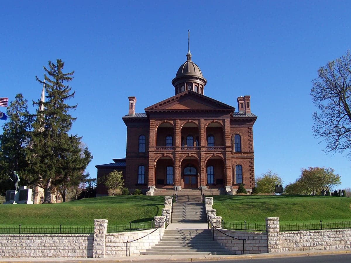
Photo: Wikipedia
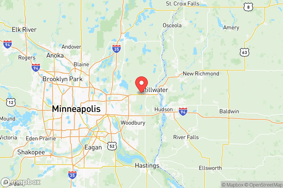
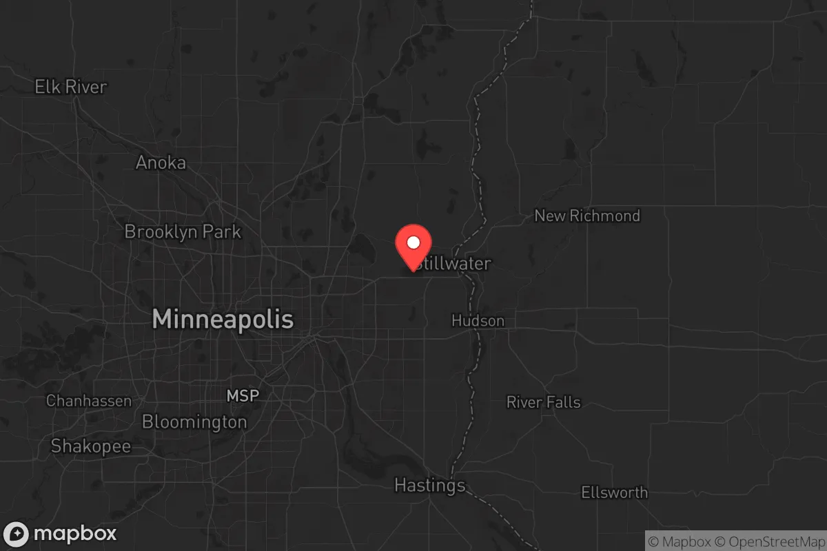
Strategic Assessment of Washington County
Meaningful friction. Expect exposure to either population pressure, blast zones, or natural disaster risk. Consider buying a retreat property.
What does the Strategic Assessment tell us?
Our Strategic Assessment grades tactical survivability of an area. Major population centers, military targets, fallout zones, natural disasters, and border exposure all drive risk — lower exposure means a more defensible position in a crisis.
This is heavily inspired by Joel Skousen's Strategic Relocation book. Highly recommended you checkout the book ($)What does this tell us?
Our Strategic Assessment grades tactical survivability of an area. Major population centers, military targets, fallout zones, natural disasters, and border exposure all drive risk — lower exposure means a more defensible position in a crisis.
This is heavily inspired by Joel Skousen's Strategic Relocation book. Highly recommended you checkout the book ($)Strategic Pillars

Key Distances
Strategic Assessment Analysis
Washington County, Minnesota, offers a strategic paradox for the conservative prepper: it sits within striking distance of a major metropolitan area, yet its geography and local governance provide a surprising degree of resilience and buffer. Located at the eastern edge of the Twin Cities metro, the county is anchored by the St. Croix River and includes key towns like Stillwater, Forest Lake, and Cottage Grove. For a relocator prioritizing self-sufficiency and a lower-collapse-risk environment, this area presents a viable middle ground—close enough to access resources and medical care, but far enough from the urban core to avoid the worst of civil unrest or a mass casualty event. The key is understanding where the vulnerabilities lie and how the county’s natural and built assets can be leveraged for long-term security.
Geographic position and natural advantages for long-term security
Washington County’s primary strategic asset is its position along the St. Croix River, a major waterway that forms the border with Wisconsin. This river provides a natural defensive barrier to the east, limiting easy access from that direction and offering a reliable water source for filtration and small-scale agriculture. The county is also bisected by the St. Croix Scenic Byway and numerous state parks, including William O’Brien State Park and Afton State Park, which offer wooded terrain and elevation changes that break up sightlines and provide cover. The area’s rolling hills and mixed hardwood forests are a significant advantage over the flat, exposed farmland to the west and south. For a relocator, the towns of Marine on St. Croix and Scandia are particularly interesting—they are low-density, rural communities with strong local social networks and limited through-traffic, making them more defensible in a grid-down scenario. The county’s proximity to the St. Croix River Valley also means access to a variety of microclimates, which can support diversified food production and reduce the risk of a single crop failure.
Risks, exposures, and proximity to fallout-relevant landmarks
No strategic assessment is honest without acknowledging the liabilities. Washington County’s biggest exposure is its proximity to the Twin Cities metro area, specifically Minneapolis and St. Paul, which are roughly 20–30 miles west of the county’s core. In a mass casualty event or civil unrest scenario, the county would likely see a surge of refugees fleeing the urban core, particularly along major corridors like I-94 and US-61. The county also contains several potential fallout-relevant landmarks. The Stillwater Bridge and the St. Croix River crossings are chokepoints that could become contested or blocked. Additionally, the county is within the fallout zone of the Prairie Island Nuclear Generating Plant in nearby Red Wing, about 30 miles south. While not directly in the county, a catastrophic event there could contaminate the St. Croix River and affect water supplies. There are also several large industrial facilities in the southern part of the county, including 3M’s Cottage Grove plant and a refinery in Rosemount just over the border in Dakota County. These are high-value targets for sabotage or accident, and a plume from either could render large areas uninhabitable for weeks. The county’s emergency management infrastructure is solid, but it is designed for conventional disasters, not a prolonged collapse scenario.
Practical resilience for a relocator: food, water, energy, and defensibility
For a relocator serious about self-sufficiency, Washington County offers a mixed but workable picture. Water is the strongest asset: the St. Croix River, along with numerous lakes like Forest Lake and Big Marine Lake, provide abundant surface water. However, reliance on the river requires robust filtration and awareness of upstream contamination from agricultural runoff or industrial spills. Food production is viable but not effortless. The county has a strong agricultural base, particularly in the northern and eastern townships, with many small farms and orchards. The Stillwater Farmers’ Market and local CSAs are good indicators of a resilient local food network. For a relocator, securing a property with well water and a south-facing slope for solar panels is critical. Energy independence is achievable, but the county’s grid is tied to the metro area, meaning a prolonged blackout would affect everyone. Solar with battery backup is the most practical option, and the county’s zoning is generally favorable for off-grid setups, though permits are required. Defensibility varies by location. The rural townships of May Township and West Lakeland Township offer low population density, limited road access, and strong community ties—ideal for a small group or family. The county’s law enforcement presence is professional but thin in rural areas, so a relocator should plan for self-defense and neighborhood watch structures. The local gun culture is strong, with many residents owning firearms for hunting and protection, which aligns with a prepper mindset.
The overall strategic picture for Washington County is one of cautious optimism for the conservative relocator. It is not a remote bunker location, but it offers a realistic balance of access and isolation. The county’s natural defenses—the river, the forests, the low-density rural pockets—provide a buffer against the worst of urban collapse, while its proximity to the Twin Cities means that medical care, specialized supplies, and trade networks remain accessible in a partial collapse scenario. The key is to avoid the southern industrial corridor and the major highway chokepoints, and to settle in the northern or eastern townships where community ties and defensibility are strongest. For a single individual or a family looking to weather the coming storms—whether they be economic, political, or environmental—Washington County is a solid, if not perfect, choice. It requires preparation, but the foundation is there. The question is whether you are ready to build on it.
* Values derived from national, state, county, city and local statistics and may differ in a specific area. Last updated: 2026-05-24T09:47:48.000Z
Narrative content on this page is AI-generated and may contain mistakes. Verify any details that matter before acting on them.
ReloMaps may earn a commission from affiliate links at no extra cost to you.