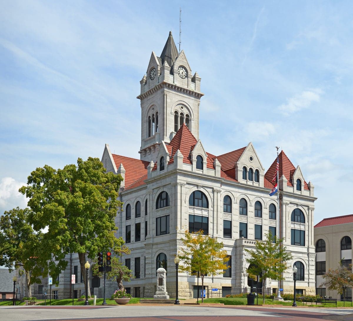
Photo: Wikipedia
Strategic Assessment of Cole County
Workable tactical position. Some exposure to population density or targets, but generally defensible in a crisis.
What does the Strategic Assessment tell us?
Our Strategic Assessment grades tactical survivability of an area. Major population centers, military targets, fallout zones, natural disasters, and border exposure all drive risk — lower exposure means a more defensible position in a crisis.
This is heavily inspired by Joel Skousen's Strategic Relocation book. Highly recommended you checkout the book ($)What does this tell us?
Our Strategic Assessment grades tactical survivability of an area. Major population centers, military targets, fallout zones, natural disasters, and border exposure all drive risk — lower exposure means a more defensible position in a crisis.
This is heavily inspired by Joel Skousen's Strategic Relocation book. Highly recommended you checkout the book ($)Strategic Pillars

Key Distances
Strategic Assessment Analysis
Cole County, Missouri, offers a strategic sweet spot for those prioritizing resilience and long-term stability, balancing proximity to state-level resources with the buffer of a mid-sized population center. Anchored by Jefferson City, the state capital, the county provides a governmental and logistical hub that is less likely to experience the rapid decay seen in larger metros during a crisis, while still maintaining access to essential infrastructure. For a relocator with a conservative, preparedness-minded outlook, this area presents a defensible position with manageable risks, provided you understand its specific vulnerabilities and advantages.
Geographic position and natural advantages for long-term stability
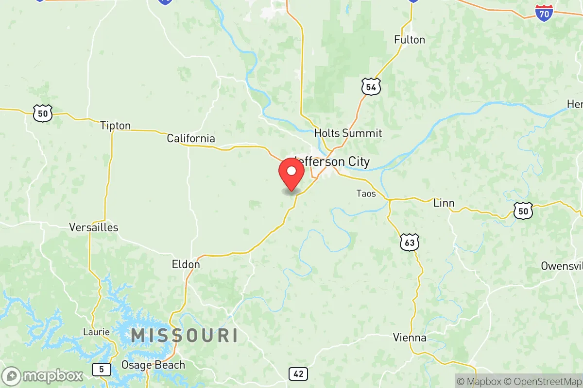
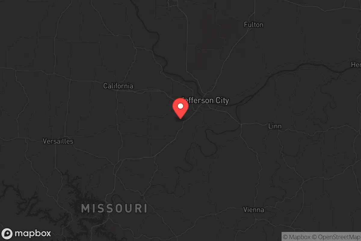
Cole County sits at the heart of Missouri, roughly equidistant from St. Louis and Kansas City, but far enough from both to avoid the immediate fallout of a major urban collapse. The Missouri River cuts through the northern part of the county, providing a reliable water source and a natural barrier that can slow movement from the north. The terrain is a mix of rolling hills, limestone bluffs, and dense hardwood forests, particularly in the southern and western portions near the Lake of the Ozarks region. This topography offers natural defensibility—elevated positions with good visibility, numerous creek valleys for concealment, and ample cover for retreat if needed. The county’s location also places it within a day’s drive of major military installations like Fort Leonard Wood (about 60 miles southwest) and Whiteman Air Force Base (about 70 miles west), which could serve as stabilization points in a national emergency, though they could also become targets. The local climate is temperate, with four distinct seasons, meaning you’ll need to prepare for both harsh winters and humid summers, but the growing season is long enough for serious food production.
Risks, exposures, and proximity to fallout-relevant landmarks
No location is without risk, and Cole County has several exposure points that a strategic relocator must account for. The most obvious is the Callaway Nuclear Plant, located roughly 30 miles northeast in Fulton. While not within the immediate blast zone, a major incident there—whether from accident or sabotage—could render large swaths of the county uninhabitable or force a mass evacuation. The Missouri River itself is a double-edged sword: it provides water but also poses a flooding risk, particularly in low-lying areas near Jefferson City and the river bottoms. The county is also bisected by US-50 and US-54, major east-west and north-south corridors that would become chokepoints or refugee routes during a crisis. Jefferson City’s role as the state capital makes it a potential target for civil unrest or coordinated attacks aimed at disrupting governance. The presence of the Missouri State Penitentiary (though largely decommissioned) and the Jefferson City Correctional Center means a prison break or riot could spill into surrounding areas. Additionally, the county’s proximity to Lake of the Ozarks—a major tourist and second-home destination—means a sudden influx of displaced people from that area could strain local resources. The risk profile is moderate, but it requires a plan for nuclear fallout, river flooding, and population surges.
Practical resilience for a relocator: food, water, energy, and defensibility
For the individual or family serious about self-sufficiency, Cole County offers a workable foundation. Water is the first priority, and the Missouri River is a reliable surface source, but you’ll need to treat it heavily due to agricultural runoff and industrial upstream activity. Many rural properties in the county have private wells, and the Ozark aquifer provides decent groundwater in the southern areas. For food, the county has a strong agricultural base—corn, soybeans, hay, and livestock operations are common. Local farmers’ markets in Jefferson City and smaller towns like Russellville and St. Thomas provide fresh produce, but you’ll want to establish your own garden and possibly a small orchard. The soil is generally fertile in the river bottoms, but the hillsides are rocky and better suited for pasture or timber. Energy resilience is a mixed bag: the grid is moderately reliable, but rural areas can experience outages during storms. Solar is viable, though the region’s cloud cover in winter reduces output. Wood heat is a practical backup, given the abundant timber. Defensibility varies by location. Properties on the bluffs overlooking the river offer natural chokepoints, while those in the flat river bottoms are more exposed. The county’s law enforcement presence is decent—the Cole County Sheriff’s Office and Jefferson City Police Department are professional—but in a prolonged crisis, you cannot rely on them for protection. The local culture leans heavily conservative and self-reliant, with a strong hunting and firearms tradition, which means you’ll find like-minded neighbors but also a higher baseline of armed citizens. The key is to avoid being too close to Jefferson City’s urban core or the major highways, and instead focus on the rural townships like Osage Bend or Lohman, where population density is low and community ties are strong.
The overall strategic picture for Cole County is one of calculated viability. It is not a remote bunker location—it has real exposure to nuclear infrastructure, river flooding, and the instability that comes with being a state capital. But for the relocator who wants a balance of access to resources (medical, logistical, governmental) and the ability to retreat into a rural, defensible position, it is a solid choice. The key is to buy land away from the river and the highways, invest in water storage and filtration, and build relationships with the local farming and hunting community. If you can manage the nuclear risk from Callaway and the potential for population surges from the Lake of the Ozarks corridor, Cole County provides a staging ground that is resilient enough to weather most storms—both literal and societal.
* Values derived from national, state, county, city and local statistics and may differ in a specific area. Last updated: 2026-06-06T03:25:47.000Z
Narrative content on this page is AI-generated and may contain mistakes. Verify any details that matter before acting on them.
ReloMaps may earn a commission from affiliate links at no extra cost to you.