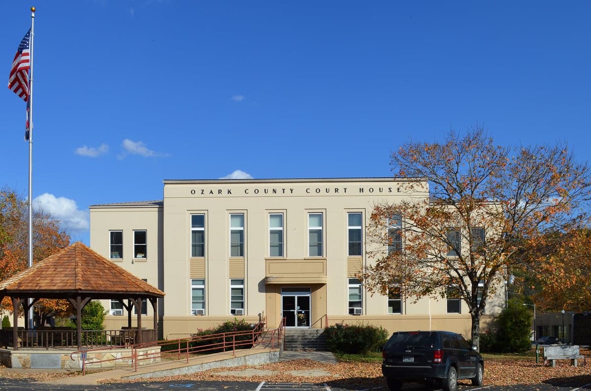
Photo: Wikipedia
Strategic Assessment of Ozark County
Strong survivability profile. Good buffer from population centers, with manageable environmental and tactical risks.
What does the Strategic Assessment tell us?
Our Strategic Assessment grades tactical survivability of an area. Major population centers, military targets, fallout zones, natural disasters, and border exposure all drive risk — lower exposure means a more defensible position in a crisis.
This is heavily inspired by Joel Skousen's Strategic Relocation book. Highly recommended you checkout the book ($)What does this tell us?
Our Strategic Assessment grades tactical survivability of an area. Major population centers, military targets, fallout zones, natural disasters, and border exposure all drive risk — lower exposure means a more defensible position in a crisis.
This is heavily inspired by Joel Skousen's Strategic Relocation book. Highly recommended you checkout the book ($)Strategic Pillars

Key Distances
Strategic Assessment Analysis
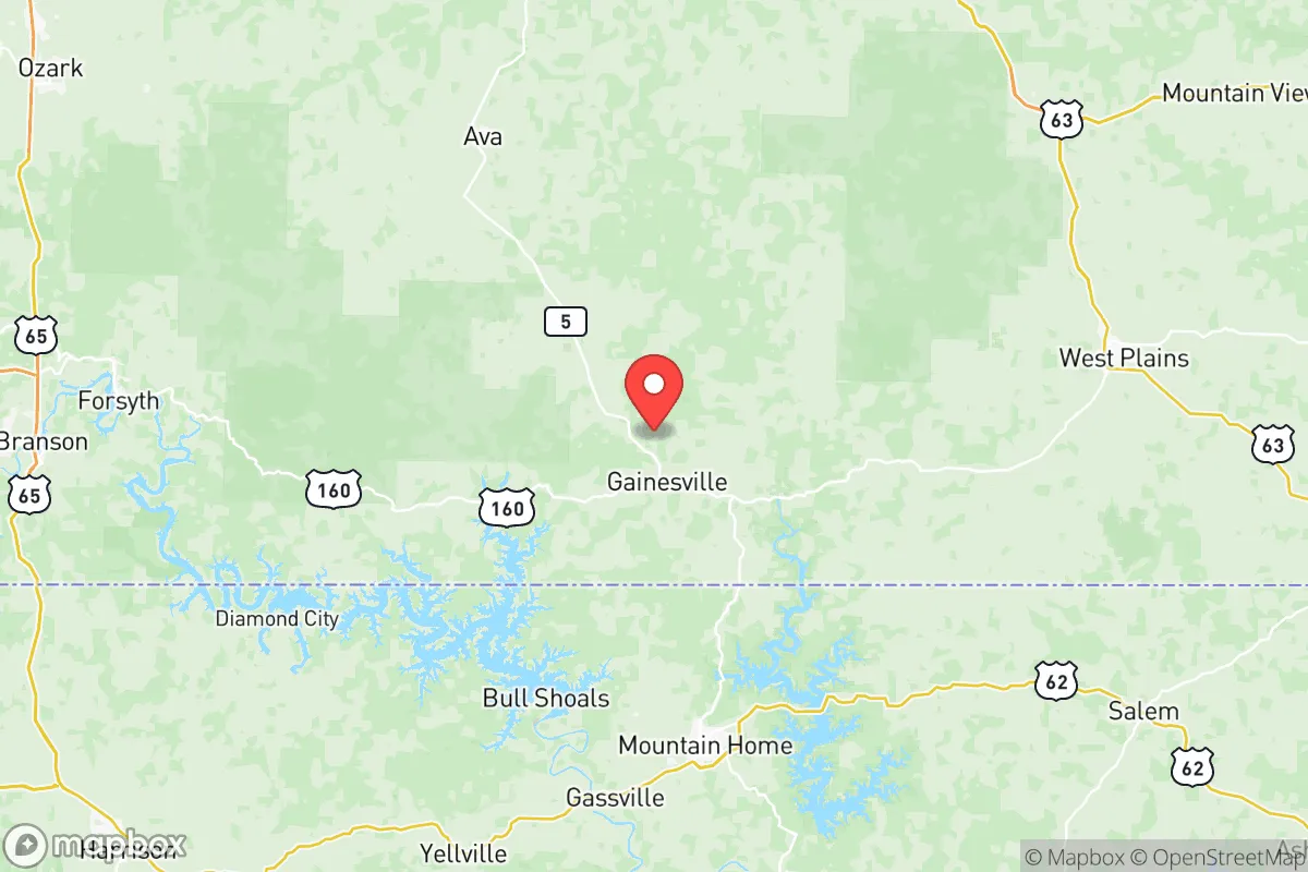
Ozark County, Missouri, offers a compelling strategic position for those prioritizing resilience and self-sufficiency, anchored by its location in the rural, sparsely populated Missouri Ozarks. The county seat, Gainesville, sits roughly 100 miles from Springfield and 150 miles from Little Rock, placing it far from major metropolitan blast zones and likely fallout patterns from high-value targets like Fort Leonard Wood (about 80 miles northeast) or the Arkansas Nuclear One plant near Russellville (about 120 miles southwest). This distance from primary targets, combined with the county's rugged terrain and low population density of roughly 9,500 residents, creates a natural buffer against both man-made and natural cascading disruptions.
Geographic position and natural advantages for long-term stability
Ozark County sits in the heart of the Ozark Plateau, a region defined by steep hills, limestone bluffs, and abundant spring-fed waterways. The North Fork of the White River and Bryant Creek cut through the county, providing reliable surface water sources that are less prone to drought than the Great Plains. The area's elevation—ranging from 800 to 1,200 feet—offers modest protection against flooding, though low-lying areas near the rivers can see seasonal rises. The karst topography means groundwater is accessible via wells, but careful siting is needed to avoid contamination from sinkholes. The county's position in the central U.S. also places it outside major hurricane, earthquake, and wildfire corridors, though severe thunderstorms and occasional tornadoes are a reality. The Mark Twain National Forest covers significant portions of the county, offering timber resources, game habitat, and a natural barrier to development. For a relocator, this geography means defensible terrain, multiple water sources, and a climate that supports year-round food production—though the growing season is short (roughly 170 days) compared to the South.
Risks, exposures, and proximity to fallout-relevant landmarks
While Ozark County avoids the worst of man-made risks, it is not immune. The nearest significant military installation is Fort Leonard Wood, an Army training center and chemical-biological-radiological-nuclear (CBRN) school, located about 80 miles northeast. In a major conflict, this base could be a target, and prevailing winds from the southwest would carry fallout away from Ozark County in most scenarios. However, the county lies within 150 miles of the Arkansas Nuclear One plant, a two-unit pressurized water reactor near Russellville. A catastrophic failure there could deposit fallout across southern Missouri, though the prevailing winds typically push eastward. More immediate risks include the county's limited emergency services infrastructure—Gainesville has a small hospital (Ozarks Medical Center) but no Level 1 trauma center, and the nearest major medical facilities are in Springfield or Mountain Home, Arkansas. The county's road network is sparse, with only U.S. Route 160 and Missouri Route 5 providing primary access; secondary roads are often gravel and can become impassable in heavy rain or snow. For a relocator, this isolation is a double-edged sword: it reduces exposure to cascading failures from urban centers but also complicates evacuation or resupply. The county's lack of rail lines or major highways also means it is unlikely to be a target for infrastructure attacks.
Practical resilience for a relocator: food, water, energy, and defensibility
Ozark County offers strong potential for self-sufficiency, but it requires deliberate preparation. Water is abundant: the North Fork River, Bryant Creek, and numerous springs provide year-round flow, and groundwater is accessible via drilled wells (typical depth 100-300 feet). However, surface water requires filtration due to agricultural runoff and wildlife. The county's agricultural base is modest—hay, cattle, and poultry dominate—but the fertile river bottoms and ample rainfall (45 inches annually) support gardens and orchards. Deer, turkey, and small game are plentiful, and the Mark Twain National Forest allows hunting and foraging. Energy resilience is mixed: the county is served by White River Valley Electric Cooperative, which has a history of outages during storms. Solar potential is good (4.5-5 peak sun hours per day), and wood heating is common due to abundant timber. Propane is widely used for heating and cooking, but supply chains could be disrupted. Defensibility is a key advantage: the rugged terrain, limited road access, and low population density make the county naturally hard to traverse. Many properties are tucked into hollows or on ridgetops with single-lane access, offering natural chokepoints. However, this same terrain can make it difficult to monitor approaches, and the county's law enforcement presence is thin—the Ozark County Sheriff's Office has roughly 10 deputies for the entire 750-square-mile area. For a relocator, the key is to choose a property with good water, southern exposure for solar, and defensible access, while building a network of like-minded neighbors who can share resources and security.
The overall strategic picture for Ozark County is one of strong natural resilience tempered by practical limitations. Its distance from major targets, abundant water, and defensible terrain make it a solid choice for those seeking a low-profile, self-sufficient lifestyle. But the isolation that provides security also means limited access to healthcare, supplies, and emergency services. A relocator should plan for extended self-reliance—at least 6-12 months of food, water, and medical supplies—and invest in renewable energy and water filtration. The county's conservative, independent culture aligns with a preparedness mindset, but newcomers should respect local norms and build relationships gradually. For a family or individual serious about long-term resilience, Ozark County offers a viable base, provided the trade-offs of rural living are fully understood and planned for.

* Values derived from national, state, county, city and local statistics and may differ in a specific area. Last updated: 2026-09-10T00:49:35.000Z
Narrative content on this page is AI-generated and may contain mistakes. Verify any details that matter before acting on them.
ReloMaps may earn a commission from affiliate links at no extra cost to you.

