Photo: Wikipedia
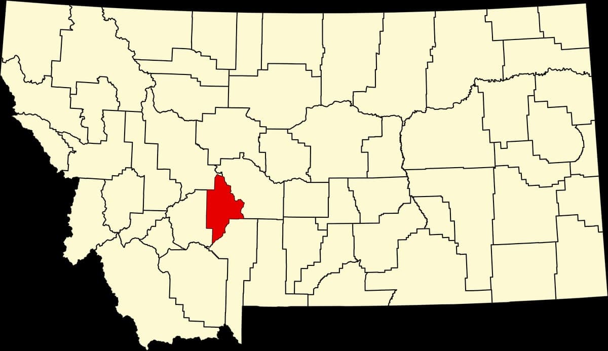
Strategic Assessment of Broadwater County
Deep buffer from population centers and strategic targets. Low natural disaster risk and minimal exposure to border or coastal threats.
What does the Strategic Assessment tell us?
Our Strategic Assessment grades tactical survivability of an area. Major population centers, military targets, fallout zones, natural disasters, and border exposure all drive risk — lower exposure means a more defensible position in a crisis.
This is heavily inspired by Joel Skousen's Strategic Relocation book. Highly recommended you checkout the book ($)What does this tell us?
Our Strategic Assessment grades tactical survivability of an area. Major population centers, military targets, fallout zones, natural disasters, and border exposure all drive risk — lower exposure means a more defensible position in a crisis.
This is heavily inspired by Joel Skousen's Strategic Relocation book. Highly recommended you checkout the book ($)Strategic Pillars

Key Distances
Strategic Assessment Analysis
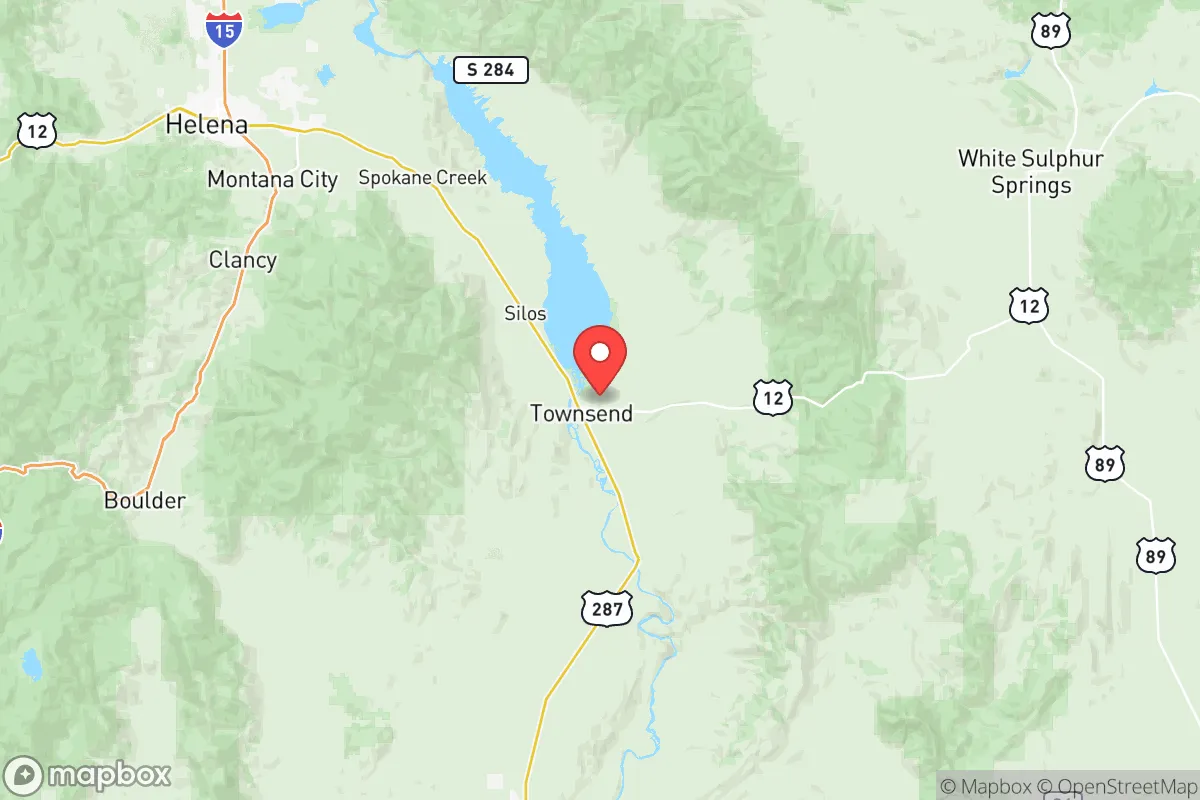
Broadwater County, Montana, sits in a strategic sweet spot that few relocators fully appreciate until they study the map. Centered around the county seat of Townsend and stretching along the Missouri River, this area offers a blend of agricultural self-sufficiency, low population density, and geographic isolation from major metropolitan targets—all while remaining within a practical driving distance of Helena and Bozeman for resupply or medical needs. For a conservative-leaning individual or family prioritizing resilience, the county’s position along the I-90 corridor but away from the densest population clusters provides a rare balance of accessibility and security.
Geographic position and natural advantages for long-term security
Broadwater County’s geography is its first line of defense. The Big Belt Mountains to the east and the Elkhorn Mountains to the west create natural barriers that funnel movement through a handful of chokepoints—namely US Highway 287 and I-90 near Three Forks. This makes the area inherently defensible against large-scale movement of people or vehicles during a crisis. The Missouri River runs through the heart of the county, providing a reliable water source that doesn’t depend on municipal infrastructure. The Canyon Ferry Reservoir, just north of Townsend, is a massive 35-mile-long body of water that offers both a drinking water reserve and a fishery that could sustain a community if supply chains collapse. The surrounding valleys, particularly around the town of Radersburg, contain fertile bottomland suitable for small-scale agriculture. The county’s elevation—mostly between 3,800 and 5,500 feet—means cooler summers and less wildfire risk than lower-elevation parts of Montana, though fire remains a seasonal concern.
Risks, exposures, and proximity to fallout-relevant landmarks
No location is without vulnerabilities, and Broadwater County has a few that a serious prepper must weigh. The most significant risk is the proximity to Helena (about 30 miles north) and Bozeman (about 50 miles east). While neither is a primary nuclear target, both have state government infrastructure (Helena) and a growing tech and university presence (Bozeman) that could draw secondary strikes or become focal points for civil unrest. The I-90 corridor running through the southern edge of the county near Three Forks is a major east-west route; during a national emergency, this highway could become a chokepoint for refugees fleeing the Pacific Northwest or the Upper Midwest. The Montana Rail Link mainline also passes through the county, carrying hazardous materials—including crude oil from the Bakken fields—that could pose a derailment or sabotage risk. There are no major military bases within Broadwater County itself, but Malmstrom Air Force Base (home to ICBM silos) is about 120 miles northeast near Great Falls. While that distance provides some buffer, the silos scattered across central Montana mean that a nuclear exchange could produce fallout patterns affecting the county depending on wind direction. The county’s low population density (roughly 7,000 residents across 1,239 square miles) is a double-edged sword: it reduces target value but also means limited emergency services and a thin law enforcement presence.
Practical resilience for a relocator: food, water, energy, and defensibility
For a family or individual serious about self-reliance, Broadwater County offers strong fundamentals. Water is the standout advantage: the Missouri River and Canyon Ferry Reservoir provide surface water that, with proper filtration, can support a household indefinitely. Groundwater wells are common in the valleys, and the county’s agricultural history means many properties already have irrigation rights or well permits. Food production is viable but requires planning. The growing season is short—typically 100 to 120 frost-free days—but cold-hardy crops like potatoes, carrots, kale, and grains do well. The county has a strong ranching tradition; beef and bison are raised locally, and hunting for elk, mule deer, and upland birds is excellent in the surrounding national forests (Helena National Forest and the Elkhorn Mountains). For energy, grid reliability is average for rural Montana—outages happen during winter storms and wildfire seasons. Solar is a practical supplement given the region’s 200+ sunny days per year, but battery storage is essential for winter months. Propane is widely used for heating and cooking; bulk storage tanks are common on rural properties. Defensibility is excellent by modern American standards. The county’s road network is sparse, with most homes accessed by gravel or dirt roads that can be easily monitored or blocked. The Toston Dam on the Missouri River is a critical infrastructure point; its failure would flood downstream areas but also disrupt water supply—something a relocator should map and plan around. The nearest major medical facility is in Helena (St. Peter’s Health), with a smaller critical-access hospital in Townsend. For serious trauma, Bozeman Health is about an hour east. In a collapse scenario, the county’s volunteer fire departments and sheriff’s office would be stretched thin, making community mutual aid networks essential.
The overall strategic picture for Broadwater County is one of high potential with manageable trade-offs. It is not a bug-out location for someone who wants to disappear completely—the I-90 corridor and proximity to growing cities mean it will see traffic and attention during a crisis. But for a relocator willing to invest in water security, food storage, and community relationships, the county offers a rare combination of natural resources, defensible terrain, and distance from primary targets. The key is to arrive before the next wave of migration from the coasts pushes Montana’s rural land prices beyond reach. For a conservative family looking to build a resilient life outside the urban grid, Broadwater County deserves a serious look—just make sure you have a good well, a reliable vehicle, and a plan for the winter months when the snow piles deep in the passes.
* Values derived from national, state, county, city and local statistics and may differ in a specific area. Last updated: 2026-05-12T12:56:47.000Z
Narrative content on this page is AI-generated and may contain mistakes. Verify any details that matter before acting on them.
ReloMaps may earn a commission from affiliate links at no extra cost to you.