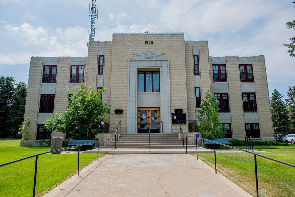
Photo: Wikipedia
Strategic Assessment of Glacier County
Strong survivability profile. Good buffer from population centers, with manageable environmental and tactical risks.
What does the Strategic Assessment tell us?
Our Strategic Assessment grades tactical survivability of an area. Major population centers, military targets, fallout zones, natural disasters, and border exposure all drive risk — lower exposure means a more defensible position in a crisis.
This is heavily inspired by Joel Skousen's Strategic Relocation book. Highly recommended you checkout the book ($)What does this tell us?
Our Strategic Assessment grades tactical survivability of an area. Major population centers, military targets, fallout zones, natural disasters, and border exposure all drive risk — lower exposure means a more defensible position in a crisis.
This is heavily inspired by Joel Skousen's Strategic Relocation book. Highly recommended you checkout the book ($)Strategic Pillars

Key Distances
Strategic Assessment Analysis
Glacier County, Montana, offers a compelling strategic profile for relocators prioritizing resilience, self-sufficiency, and distance from major metropolitan vulnerabilities. Situated in the state’s far northwest corner along the Canadian border, the county combines sparse population density with robust natural resources, making it a viable option for those assessing long-term security and preparedness. Its location provides a buffer from the cascading risks of large urban centers while retaining access to essential infrastructure in nearby regional hubs like Kalispell and Great Falls.
Geographic position and natural advantages for long-term security
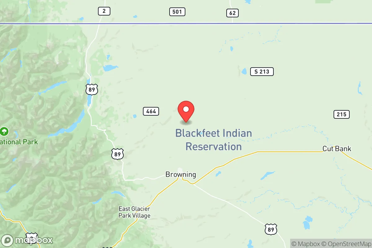
Glacier County’s primary strategic asset is its remoteness. The county seat, Cut Bank, sits roughly 30 miles east of the Rocky Mountain front, while the town of Browning lies within the Blackfeet Indian Reservation near the eastern edge of Glacier National Park. This positioning places residents far from the nation’s major population corridors—over 200 miles from Spokane, Washington, and more than 300 miles from Billings, Montana. The county’s elevation, averaging over 3,800 feet, and its location in the northern High Plains provide natural defensive terrain: open vistas allow for early warning of approaching threats, while the surrounding mountains and vast agricultural land create a natural choke point for any large-scale movement. The area’s low population density—roughly 13,000 residents spread across 3,000 square miles—means fewer people competing for resources in a crisis. The nearby Rocky Mountain Front also offers abundant wildlife, including elk, deer, and antelope, which could supplement food supplies in a prolonged disruption. Water resources are a standout advantage: the county is drained by the Milk River and its tributaries, with the St. Mary River system providing irrigation and drinking water. The St. Mary Diversion, a U.S. Bureau of Reclamation project, channels water from the St. Mary River into the Milk River, supporting agriculture and municipal supplies in Cut Bank and surrounding areas. This water infrastructure, combined with the county’s position atop the Madison Aquifer, gives Glacier County a significant edge over regions dependent on fragile municipal systems or inter-basin transfers.
Risks, exposures, and proximity to fallout-relevant landmarks
While Glacier County’s isolation is a strength, it is not immune to risks. The most immediate natural hazard is severe winter weather: blizzards, ice storms, and extreme cold (temperatures can drop below -40°F) can isolate communities for days. Cut Bank, nicknamed the “Windiest City in the U.S.,” experiences sustained winds that can exceed 50 mph, creating dangerous wind chill and complicating travel. Wildfire risk is moderate, with the eastern slopes of the Rockies prone to dry lightning and grass fires, though the county’s agricultural lands and sparse forest cover reduce the likelihood of catastrophic megafires seen in western Montana. From a man-made risk perspective, Glacier County’s distance from major strategic targets is a net positive. The nearest significant military installation is Malmstrom Air Force Base in Great Falls, about 120 miles southeast, which houses Minuteman III intercontinental ballistic missiles. While this places the county within the blast radius of a potential nuclear strike on the missile fields, the actual silos are dispersed across central Montana, and the county itself is not a primary target. The nearest major refinery is the Phillips 66 Billings Refinery, over 300 miles away, and no major ports, nuclear power plants, or chemical facilities lie within 100 miles. The county’s proximity to the Canadian border (the port of entry at Piegan is just north of Browning) could be a double-edged sword: in a cross-border crisis, the border may close, but it also provides an alternative evacuation route into Alberta’s sparsely populated regions. The Blackfeet Reservation’s sovereign status adds a layer of complexity—emergency response and land-use regulations differ from state jurisdiction, which could affect relocation logistics and resource access.
Practical resilience for a relocator: food, water, energy, and defensibility
For a relocator focused on self-sufficiency, Glacier County offers strong fundamentals but requires deliberate preparation. Food production is viable: the county’s agricultural base includes wheat, barley, and hay, with cattle ranching dominating the economy. Cut Bank and Browning both host small farmers’ markets, and the surrounding area has ample land for private gardens, though the short growing season (roughly 100 frost-free days) limits crop variety. Cold-hardy crops like potatoes, carrots, and kale thrive, and greenhouse construction can extend the season. Water access is excellent for those with property near the Milk River or its tributaries, but well drilling is essential for most rural parcels—depths vary from 50 to 300 feet, with yields generally adequate for household use. The county’s water rights system is governed by Montana’s prior-appropriation doctrine, so securing a legal water right before purchase is critical. Energy independence is achievable: the area’s high winds make small-scale wind turbines a practical option, and solar panels perform well despite winter cloud cover (the county averages over 200 sunny days annually). Propane and wood are the primary heating fuels, with firewood available from national forest lands (with a permit). The local power grid, served by Northwestern Energy, is relatively reliable but vulnerable to ice storms—a backup generator or battery system is advisable. Defensibility is a mixed picture. The open terrain makes it difficult to secure a perimeter without significant investment, but the low population density means fewer potential threats. The county’s law enforcement presence is thin—the Glacier County Sheriff’s Office in Cut Bank has roughly 10 deputies for the entire county, and response times in remote areas can exceed 45 minutes. Relocators should plan for self-defense and community mutual aid, as formal emergency services are stretched. The nearest Level II trauma center is in Kalispell, 90 miles west, while the Cut Bank Community Hospital provides basic emergency care but not surgical or intensive care capabilities.
The overall strategic picture for Glacier County is one of high potential with notable trade-offs. Its geographic isolation, abundant water, and agricultural capacity make it one of the more resilient areas in the lower 48 for a prepared relocator. The absence of major industrial or military targets within 100 miles reduces exposure to man-made catastrophes, while the harsh climate and limited medical infrastructure demand a higher level of personal readiness. For a family or individual willing to invest in off-grid systems, stockpile supplies, and build local connections—particularly within the tight-knit communities of Cut Bank and Browning—Glacier County offers a defensible, resource-rich haven. However, it is not a location for those seeking convenience or immediate access to urban amenities; it is a strategic choice for those prioritizing long-term security over short-term comfort. The county’s resilience ultimately depends on the relocator’s ability to adapt to its extremes and leverage its natural advantages, rather than relying on external systems.

* Values derived from national, state, county, city and local statistics and may differ in a specific area. Last updated: 2026-07-29T02:09:42.000Z
Narrative content on this page is AI-generated and may contain mistakes. Verify any details that matter before acting on them.
ReloMaps may earn a commission from affiliate links at no extra cost to you.

