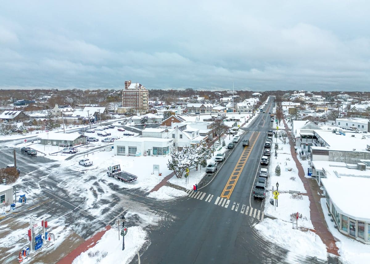
Photo: Wikipedia
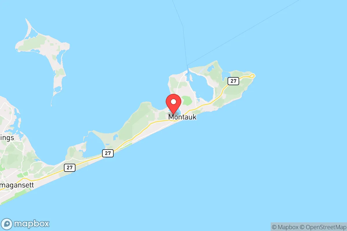
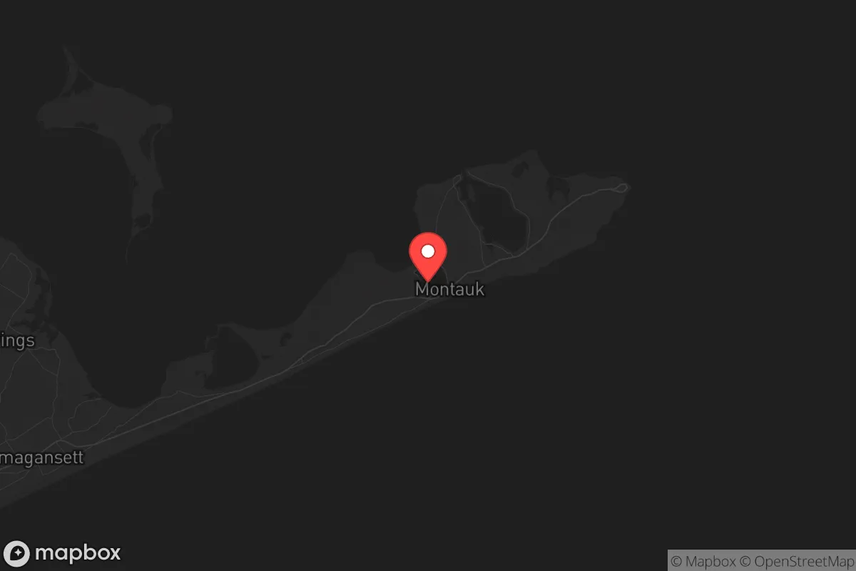
Strategic Assessment of Montauk, NY
Meaningful friction. Expect exposure to either population pressure, blast zones, or natural disaster risk. Consider buying a retreat property.
What does the Strategic Assessment tell us?
Our Strategic Assessment grades tactical survivability of an area. Major population centers, military targets, fallout zones, natural disasters, and border exposure all drive risk — lower exposure means a more defensible position in a crisis.
This is heavily inspired by Joel Skousen's Strategic Relocation book. Highly recommended you checkout the book ($)What does this tell us?
Our Strategic Assessment grades tactical survivability of an area. Major population centers, military targets, fallout zones, natural disasters, and border exposure all drive risk — lower exposure means a more defensible position in a crisis.
This is heavily inspired by Joel Skousen's Strategic Relocation book. Highly recommended you checkout the book ($)Strategic Pillars

Key Distances
Regional Safe Places
Below is our recommended "safe zones" in New York and the surrounding area based on our strategic heuristics. For most people, it's unrealistic to live in a “safe zone” full-time due to work, family or other personal reasons. They tend to be more rural. However, many of these areas are perfect for second homes and retreat properties that double as a vacation home or even a short-term rental.


Important Note: For informational purposes only. This does not mean nothing bad ever happens in the green zones. Please use common sense. This is based on public data and modeled with AI. We tried to take a conservative approach but mistakes happen. We update this regularly as new information becomes available.
Solar Generator Recommendations
Backup power matters more here than in safer locations. We've picked three solar generators across budgets and capacity tiers — start with the budget unit if you only need a few essentials, or step up if you want to run a fridge and HVAC for days at a time.

Jackery Portable Power Station Explorer 300
Budget OptionPower on the Go: Weighing only 11 lbs, it's convenient to set up and store with book-sized foldable solar panels

BLUETTI Portable Power Station AC180
Designed for both indoor and outdoor scenarios, AC180 is highly capable as it has a robost capacity and continuous output power.

EF ECOFLOW DELTA Pro Ultra Power Station
Upgraded PickEcoFlow DELTA Pro Ultra is a whole-home energy system designed to grow with your family. Integrated with the Smart Home Panel 2, it scales to meet your evolving energy needs — keeping your home powered, intelligent, and secure through every stage of life.
We earn a commission, at no additional cost to you.
Strategic Assessment Analysis
Montauk, New York, presents a complex strategic picture for the conservative prepper or survivalist. Its primary value lies in extreme geographic isolation at the tip of Long Island, offering a natural chokepoint and a single road of egress, but this same isolation becomes a severe liability in a grid-down scenario. For those prioritizing escape from population density and proximity to major fallout targets, Montauk’s location is a double-edged sword: it is far from Manhattan’s blast radius, yet dangerously close to the New York City metro area’s secondary effects, including refugee flows and supply chain collapse.
Geographic isolation and natural defensive advantages
Montauk’s position at the easternmost point of Long Island provides a unique defensive posture. The area is bounded by the Atlantic Ocean to the south and Block Island Sound to the north, creating a natural moat that limits approach vectors to a single land route—State Route 27. This road, a two-lane highway for much of its length, can be monitored and, if necessary, blocked at strategic points like the Shinnecock Canal or the narrows near the Hamptons. The surrounding waters offer excellent fishing and shellfish harvesting, a critical food source if supply lines fail. The local topography is relatively flat but features dense scrub and maritime forests that provide cover and concealment for small groups. The Montauk Point Lighthouse and the surrounding state park offer high ground for observation, though they are also obvious landmarks. The area’s low population density relative to western Long Island—roughly 3,500 year-round residents—means fewer mouths to compete with for local resources, but also fewer skilled tradespeople and medical professionals.
Fallout proximity, target risk, and exposure to mass casualty events
The most significant strategic drawback is Montauk’s proximity to the New York City metropolitan area, a high-priority target for any nuclear or mass casualty event. While Montauk itself is roughly 120 miles from Midtown Manhattan, placing it outside the primary blast and thermal zones of a ground burst, the fallout plume from a detonation in the city or at nearby military installations—such as the Naval Weapons Station Earle in Colts Neck, New Jersey, or the Groton submarine base in Connecticut—could drift eastward depending on wind patterns. The prevailing westerlies mean that Montauk is directly downwind of the entire Long Island landmass, including Brookhaven National Laboratory, a research facility that could itself become a secondary target or a source of radiological contamination. Additionally, the area is exposed to the Atlantic, making it vulnerable to a sea-based electromagnetic pulse (EMP) attack, which would cripple the local power grid and communications. The single road egress means that any mass evacuation from New York City would funnel millions of people eastward, turning Route 27 into a parking lot and a potential vector for civil unrest, disease, and resource raiding. Montauk is not a fallout shelter; it is a potential trap if the exodus from the city begins before you are established.
Practical resilience: food, water, energy, and defensibility for a relocator
For a relocator willing to invest in off-grid infrastructure, Montauk offers moderate practical resilience. Water is the most critical concern: the area relies on a shallow aquifer that is vulnerable to saltwater intrusion and contamination from storm surge. A private well with a hand pump and a robust rainwater catchment system are non-negotiable. The local soil is sandy and acidic, making large-scale gardening difficult without raised beds and soil amendments, but the maritime climate supports hardy crops like potatoes, kale, and root vegetables. Fishing and shellfish harvesting are the primary food security assets, with striped bass, fluke, and bluefish available seasonally, and clams, oysters, and mussels in the bays. However, these resources are not infinite and would be rapidly depleted by a surge of refugees. Energy resilience is achievable: solar panels with battery storage are viable given the area’s high average wind speeds and sunny days, but a backup generator and a substantial fuel cache are essential for winter months when solar production drops. Defensibility is mixed. The single road is a chokepoint for you and against you. A small, well-armed group could hold the bridge at the Shinnecock Canal indefinitely, but you would also be trapped if a larger force approaches from the west. The dense brush and coastal scrub provide good cover for ambushes, but the flat terrain offers little in the way of high ground for a final stand. Medical care is a major vulnerability: the local hospital, Stony Brook Southampton Hospital, is small and would be overwhelmed in a mass casualty event. A serious injury or illness would require evacuation westward, which may be impossible.
The overall strategic picture for Montauk is one of high risk and moderate reward for the prepared relocator. It is not a bug-out location for the average family; it is a long-term homestead for those who can secure a property with a well, solar, and a defensible perimeter before a crisis. The area’s isolation is its greatest strength, but that same isolation becomes a fatal weakness if you are not already in place when the city empties. For the conservative prepper who values distance from government control and population centers, Montauk offers a rare combination of natural resources and geographic chokepoints, but it demands a level of self-sufficiency and advance preparation that most relocators underestimate. If you are willing to accept the trade-offs—limited medical access, a single road, and the constant threat of fallout from the west—Montauk can serve as a viable redoubt. If you are looking for a safe haven that requires minimal effort, look elsewhere. This is a location for those who understand that survival is a function of preparation, not geography alone.
* Values derived from national, state, county, city and local statistics and may differ in a specific area. Last updated: 2026-04-24T01:47:24.000Z
Narrative content on this page is AI-generated and may contain mistakes. Verify any details that matter before acting on them.
ReloMaps may earn a commission from affiliate links at no extra cost to you.