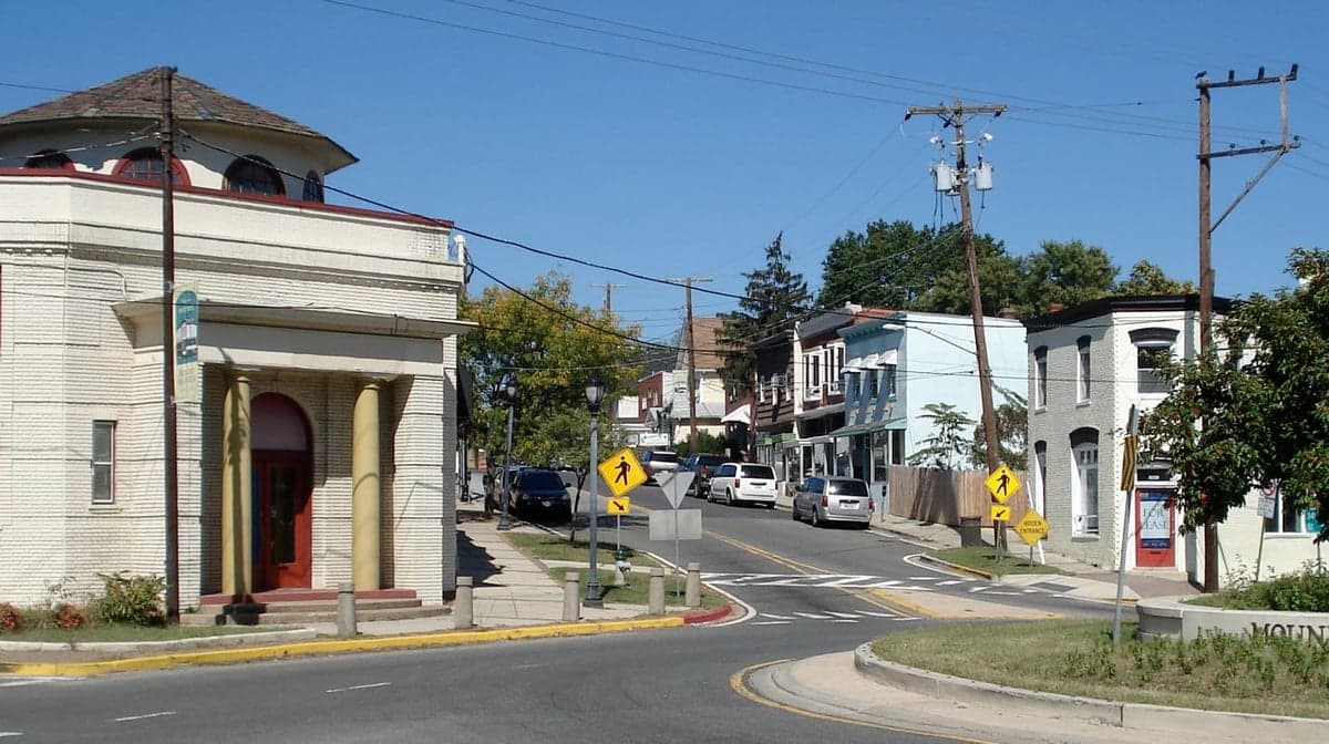
Photo: Wikipedia
Demographics of Mount Rainier, MD
Affluence Level in Mount Rainier, MD
A middle-class area roughly in line with national averages across income, home values, education, and employment.
People of Mount Rainier, MD
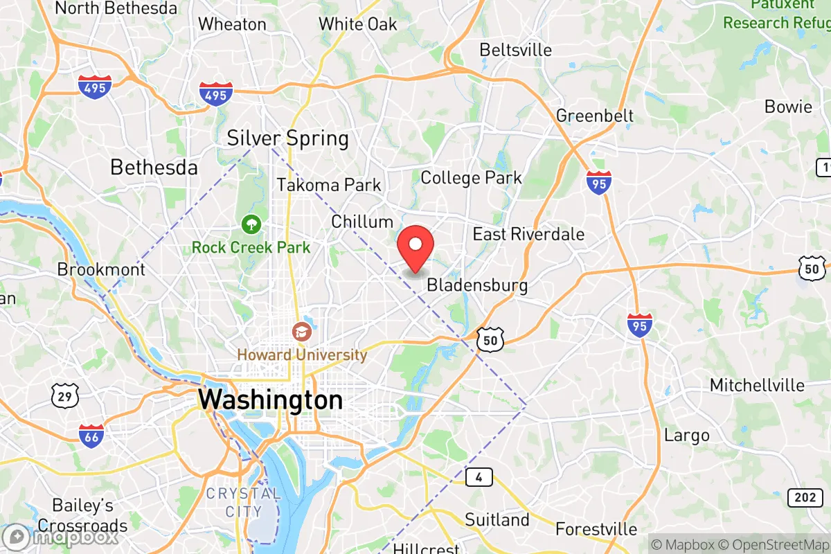
Mount Rainier, Maryland is a densely settled, majority-Black and Hispanic inner-ring suburb of Washington, D.C., with a population of 8,235 that is 45.3% Black, 34.6% Hispanic, and 16.7% White. Its residents are notably diverse by income and origin, with 17.3% foreign-born and 34.7% holding a college degree, giving the city a character that is simultaneously working-class, immigrant-rich, and increasingly professional. The city’s identity is defined by its historic streetcar-era housing stock, its role as a landing pad for successive waves of domestic and international migrants, and its ongoing tension between longtime Black families and newer Hispanic arrivals.
How the city was settled and grew
Mount Rainier was platted in 1902 as a streetcar suburb for Washington, D.C., and incorporated in 1910. Its original population was almost entirely White, drawn by affordable lots along the B&O Railroad and the D.C. streetcar line that ran along Rhode Island Avenue. The earliest neighborhoods—North Brentwood (adjacent, but historically significant) and the area around 34th Street—were built by developers who marketed them to federal clerks and tradesmen. A key early exception was the creation of North Brentwood in 1891, just north of Mount Rainier’s border, which became one of the first incorporated African American towns in Prince George’s County. Within Mount Rainier proper, the Bunker Hill neighborhood, centered on Bunker Hill Road, developed as a White working-class enclave through the 1920s and 1930s. The city grew steadily through World War II, attracting defense workers and federal employees, but remained overwhelmingly White until the 1960s.
Modern era (post-1965)
The 1968 Fair Housing Act and subsequent White flight from Prince George’s County transformed Mount Rainier’s demographics rapidly. Between 1970 and 1990, the city shifted from nearly all-White to majority-Black, as African American families moved out of segregated D.C. neighborhoods into the affordable bungalows and four-squares of Mount Rainier Heights (the area east of Rhode Island Avenue) and the West Side (west of 34th Street). By 2000, the Black population had peaked at roughly 70%. Since 2000, the Hispanic share has surged from under 10% to 34.6%, driven largely by Central American immigrants—particularly Salvadorans and Guatemalans—who settled in the Queens Chapel area (south of Eastern Avenue) and along Rhode Island Avenue near the D.C. line. These newer arrivals often live in multi-generational households in the city’s older rental stock, while the Black population has declined as some families moved farther east to larger suburbs like Bowie or Upper Marlboro. The White population, which bottomed out around 10% in 2010, has ticked up slightly to 16.7% as young professionals and artists have been drawn by the city’s walkability and proximity to D.C., particularly in the Historic District around 34th and Perry streets.
The future
Mount Rainier’s population is likely to continue its slow diversification, but not toward homogenization. The Hispanic share is still growing, though at a decelerating pace, as immigration from Central America plateaus and second-generation families move to larger homes in Prince George’s County. The Black share is stabilizing after decades of decline, anchored by older homeowners in Bunker Hill and Mount Rainier Heights who have deep roots. The White share is rising modestly, driven by D.C. spillover, but remains concentrated in the Historic District and near the West Side, creating a de facto pattern of micro-neighborhoods: Hispanic families along the Rhode Island Avenue corridor, Black families in the eastern and central blocks, and White newcomers in the historic core. Over the next 10–20 years, the city will likely become slightly more White and college-educated as D.C. housing costs push more professionals across Eastern Avenue, but the Hispanic population will remain the largest growth driver. The city is not tribalizing into hostile enclaves, but it is sorting by income and ethnicity along clear geographic lines.
For a conservative-leaning individual or family considering a move, Mount Rainier offers a genuinely diverse, walkable community with strong neighborhood identities and a stable, if slowly shifting, demographic base. The city is becoming more professional and more Hispanic, but it retains a solid Black middle-class core and a small but growing White presence. It is not a gentrifying frontier in the D.C. sense—rather, it is a mature inner suburb where each wave of settlement has left a visible mark, and where newcomers will find distinct neighborhoods shaped by the people who built them.
* Values derived from national, state, county, city and local statistics and may differ in a specific area. Last updated: 2026-04-22T02:58:03.000Z
Narrative content on this page is AI-generated and may contain mistakes. Verify any details that matter before acting on them.
ReloMaps may earn a commission from affiliate links at no extra cost to you.