
Photo: Wikipedia
Strategic Assessment of Otoe County
Strong survivability profile. Good buffer from population centers, with manageable environmental and tactical risks.
What does the Strategic Assessment tell us?
Our Strategic Assessment grades tactical survivability of an area. Major population centers, military targets, fallout zones, natural disasters, and border exposure all drive risk — lower exposure means a more defensible position in a crisis.
This is heavily inspired by Joel Skousen's Strategic Relocation book. Highly recommended you checkout the book ($)What does this tell us?
Our Strategic Assessment grades tactical survivability of an area. Major population centers, military targets, fallout zones, natural disasters, and border exposure all drive risk — lower exposure means a more defensible position in a crisis.
This is heavily inspired by Joel Skousen's Strategic Relocation book. Highly recommended you checkout the book ($)Strategic Pillars

Key Distances
Strategic Assessment Analysis
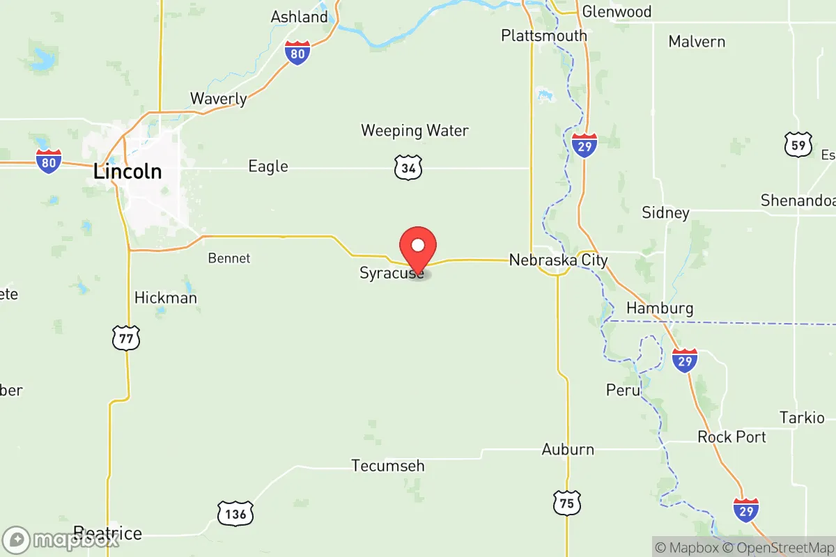
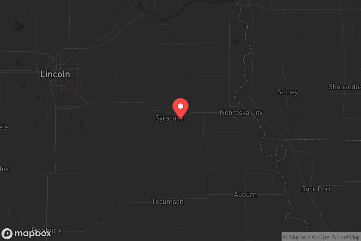
Otoe County, Nebraska, sits in a strategic sweet spot that resilience-minded relocators should take seriously: close enough to the economic engine of the Omaha-Lincoln corridor to access jobs and supplies, yet far enough from the blast zones, civil unrest, and fallout plumes that would make those cities uninhabitable in a crisis. The county’s seat, Nebraska City, anchors a region defined by the Missouri River valley, rolling farmland, and a population density low enough that you won’t be competing with neighbors for resources when things go sideways. For a conservative-leaning individual or family looking to plant roots in a place that can weather both natural disasters and societal breakdown, Otoe County offers a defensible, resource-rich base without the exposure of a major metro.
Geographic position and natural advantages for long-term security
Otoe County’s location is its first line of defense. It sits roughly 40 miles south of Omaha and 50 miles southeast of Lincoln, putting it outside the likely blast radius of any nuclear or industrial attack on those cities. The Missouri River forms the county’s eastern border, providing a reliable water source that doesn’t depend on municipal infrastructure. The terrain is gently rolling loess hills and fertile bottomland—good for drainage, good for agriculture, and poor for the kind of floodplain chaos that plagues low-lying areas further south. Nebraska City itself sits on bluffs above the river, giving natural elevation advantages for observation and defense. The county is also within a two-hour drive of Offutt Air Force Base near Bellevue, which is a high-value target but also a potential source of military-grade support if the situation stabilizes. For a prepper, the key takeaway is that Otoe County offers a buffer zone of 40-50 miles from primary targets, which is enough time to react to fallout or unrest without being cut off entirely.
Risks, exposures, and proximity to fallout-relevant landmarks
No place is risk-free, and Otoe County has its share of exposure. The most obvious threat is the Missouri River itself—while it’s a water asset, it’s also a flood risk. The 2019 floods swamped parts of Nebraska City and surrounding farmland, and climate models suggest heavier spring rains could make that a recurring problem. Any property below the 500-year floodplain should be avoided. More critically, the county sits within 100 miles of the Fort Calhoun Nuclear Station (now decommissioned but still holding spent fuel) and the Cooper Nuclear Station near Brownville, about 30 miles south. A containment failure or sabotage event at either site could send a plume across Otoe County depending on wind direction. The Union Pacific mainline runs through the county, carrying hazardous materials through Nebraska City and Syracuse—a derailment or intentional attack could release toxic chemicals. On the civil unrest front, Omaha and Lincoln are both within an hour’s drive, meaning that if riots or supply chain collapses hit those cities, Otoe County could see refugees or looters filtering down Highway 75. The county’s law enforcement presence is thin—the sheriff’s office has about a dozen deputies for the whole county—so self-reliance and community defense networks are essential.
Practical resilience for a relocator: food, water, energy, and defensibility
Otoe County is agricultural heartland, which is its strongest card for long-term survival. The county produces corn, soybeans, and hay in volume, and there are enough small farms and homesteads that barter networks could form quickly. Nebraska City is home to the Arbor Day Farm, a 260-acre working orchard and conservation area that could serve as a food source and knowledge hub for sustainable agriculture. Water is plentiful if you have a well—the county sits atop the Missouri River alluvial aquifer, and most rural properties have access to groundwater at depths of 50-150 feet. Municipal water in Nebraska City comes from the river and is treated, but that system is vulnerable to power loss or contamination. Every serious relocator should budget for a well and a hand pump. Energy is a mixed bag: the grid is rural and prone to outages in ice storms or high winds, but solar potential is decent (Nebraska averages 4.5-5 peak sun hours per day), and wood heat is viable given the timber along the river bluffs. Defensibility is good for a Plains county—the river provides a natural barrier to the east, and the rolling hills offer line-of-sight advantages for anyone watching the roads. The county’s small towns (Syracuse, Dunbar, Talmage, Otoe) are tight-knit and suspicious of outsiders, which is a double-edged sword: you’ll need to build trust, but once you’re in, you’re in. Property prices are still reasonable—a 10-20 acre parcel with a house and outbuildings can be found for $200,000-$400,000, well below the national average for similar land.
The overall strategic picture for Otoe County is one of calculated trade-offs. It’s not a remote mountain redoubt—you can’t disappear here, and you’re within striking distance of major targets. But it offers something rare in the central United States: a defensible, resource-rich location that balances access to urban infrastructure with genuine rural resilience. The flood and nuclear risks are real but manageable with proper site selection and preparation. The community is conservative, church-going, and armed—cultural factors that matter when the social contract frays. For a single individual or family willing to put in the work on a well, a garden, and a network of trusted neighbors, Otoe County is a solid B+ choice. It won’t save you from a direct hit on Omaha or a catastrophic flood, but it will give you a fighting chance in the kind of slow-burn collapse that most preppers are actually planning for. Buy on high ground, dig a well, and make friends with the farmer down the road—that’s the Otoe County strategy in a nutshell.
* Values derived from national, state, county, city and local statistics and may differ in a specific area. Last updated: 2026-05-12T03:40:21.000Z
Narrative content on this page is AI-generated and may contain mistakes. Verify any details that matter before acting on them.
ReloMaps may earn a commission from affiliate links at no extra cost to you.