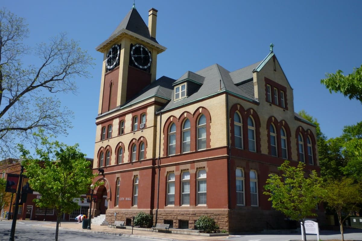
Photo: Wikipedia
Strategic Assessment of New Bern, NC
Meaningful friction. Expect exposure to either population pressure, blast zones, or natural disaster risk. Consider buying a retreat property.
What does the Strategic Assessment tell us?
Our Strategic Assessment grades tactical survivability of an area. Major population centers, military targets, fallout zones, natural disasters, and border exposure all drive risk — lower exposure means a more defensible position in a crisis.
This is heavily inspired by Joel Skousen's Strategic Relocation book. Highly recommended you checkout the book ($)What does this tell us?
Our Strategic Assessment grades tactical survivability of an area. Major population centers, military targets, fallout zones, natural disasters, and border exposure all drive risk — lower exposure means a more defensible position in a crisis.
This is heavily inspired by Joel Skousen's Strategic Relocation book. Highly recommended you checkout the book ($)Strategic Pillars

Key Distances
Regional Safe Places
Below is our recommended "safe zones" in North Carolina and the surrounding area based on our strategic heuristics. For most people, it's unrealistic to live in a “safe zone” full-time due to work, family or other personal reasons. They tend to be more rural. However, many of these areas are perfect for second homes and retreat properties that double as a vacation home or even a short-term rental.


Important Note: For informational purposes only. This does not mean nothing bad ever happens in the green zones. Please use common sense. This is based on public data and modeled with AI. We tried to take a conservative approach but mistakes happen. We update this regularly as new information becomes available.
Solar Generator Recommendations
Backup power matters more here than in safer locations. We've picked three solar generators across budgets and capacity tiers — start with the budget unit if you only need a few essentials, or step up if you want to run a fridge and HVAC for days at a time.

Jackery Portable Power Station Explorer 300
Budget OptionPower on the Go: Weighing only 11 lbs, it's convenient to set up and store with book-sized foldable solar panels

BLUETTI Portable Power Station AC180
Designed for both indoor and outdoor scenarios, AC180 is highly capable as it has a robost capacity and continuous output power.

EF ECOFLOW DELTA Pro Ultra Power Station
Upgraded PickEcoFlow DELTA Pro Ultra is a whole-home energy system designed to grow with your family. Integrated with the Smart Home Panel 2, it scales to meet your evolving energy needs — keeping your home powered, intelligent, and secure through every stage of life.
We earn a commission, at no additional cost to you.
Strategic Assessment Analysis
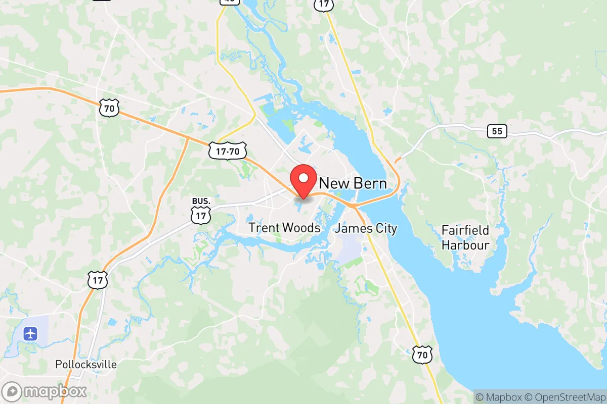
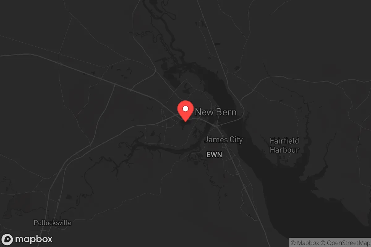
New Bern, North Carolina, offers a surprisingly resilient relocation option for those prioritizing strategic depth and long-term preparedness, combining a historic coastal infrastructure with a location that is just far enough from major metropolitan chaos to provide a buffer. Situated at the confluence of the Neuse and Trent Rivers, this city of roughly 30,000 serves as the Craven County seat and benefits from a diversified economic base anchored by Marine Corps Base Camp Lejeune and the Coastal Carolina Regional Airport. For the conservative-minded prepper, New Bern presents a mixed picture: strong natural defenses and a self-reliant community culture, but with real exposure to hurricane risks and the proximity of a major military installation that could become a target or a source of instability during a national crisis.
Geographic position and natural advantages for long-term survival
New Bern's geographic position is a double-edged sword, but the advantages are significant for those who plan ahead. The city sits roughly 35 miles inland from the Atlantic Ocean, which provides a critical buffer against the immediate effects of a coastal storm surge or a naval conflict. The Neuse and Trent Rivers form a natural defensive perimeter around the historic downtown, creating chokepoints that could be controlled in a grid-down scenario. The surrounding Craven County is characterized by low-density pine forests, farmland, and wetlands—terrain that is difficult for large, disorganized groups to traverse quickly. This natural isolation is reinforced by the fact that the nearest major population centers—Raleigh (120 miles west), Wilmington (90 miles south), and Jacksonville (40 miles south)—are all far enough away to reduce the risk of urban refugee flows overwhelming the area in the first 72 hours of a crisis. The region's temperate climate allows for year-round gardening and foraging, with a growing season that stretches from April to October. The local water table is high, and the rivers provide a reliable surface water source, though treatment would be necessary. For the strategic relocator, New Bern's position offers a rare combination of coastal access for trade or evacuation by water, and inland depth for security.
Risks, exposures, and proximity to fallout-relevant landmarks
No strategic assessment is complete without a hard look at the threats, and New Bern has several that demand attention. The most immediate natural risk is hurricanes. The city has been struck by major storms—Hurricane Florence in 2018 caused catastrophic flooding, with the Neuse River cresting at over 29 feet, inundating hundreds of homes and cutting off road access for days. Flood zone maps show that large portions of the city, particularly along the rivers and in low-lying areas like Bridgeton and James City, are in high-risk zones. Any relocator must buy property above the 100-year flood plain and have a plan for self-evacuation by boat or high-clearance vehicle. The second major risk is the presence of Marine Corps Base Camp Lejeune, located just 40 miles south. While the base provides economic stability and a pool of skilled, disciplined neighbors, it is also a high-value target for any adversary. In a major conflict or domestic collapse scenario, Camp Lejeune could become a focal point for military operations, drawing enemy action or becoming a magnet for desperate civilians seeking security. The nearby Cherry Point Marine Corps Air Station (50 miles east) and Seymour Johnson Air Force Base (70 miles west) add to the concentration of military assets within a 100-mile radius. Additionally, the city is within 200 miles of the nation's capital and the Hampton Roads naval complex, meaning that any large-scale event affecting the Eastern Seaboard will ripple through New Bern. The Havelock area, just east of New Bern, is home to a large industrial base supporting military aviation, which could be a secondary target. For the prepper, these exposures mean that New Bern is not a remote bunker—it is a strategic node in a network of critical infrastructure, and that comes with both benefits and liabilities.
Practical resilience for a relocator: food, water, energy, and defensibility
For the individual or family looking to establish a resilient homestead, New Bern offers a workable foundation but requires significant upfront investment. The local soil is sandy and acidic, typical of the Coastal Plain, but with raised beds and composting, it can support a wide variety of vegetables, fruits, and herbs. The long growing season and ample rainfall (averaging 50 inches per year) mean that a well-planned garden can provide a substantial portion of a family's caloric needs from spring through fall. Wild game is abundant—deer, turkey, and waterfowl are common in the surrounding forests and wetlands, and fishing in the Neuse and Trent Rivers yields catfish, bass, and crappie year-round. Water is plentiful but must be treated; the municipal supply comes from the Neuse River and is treated at a plant that could be compromised in a prolonged power outage. A deep well with a hand pump or a solar-powered pump is a non-negotiable investment for any serious prepper in this area. Energy resilience is achievable: the region gets ample sun for solar panels (about 215 sunny days per year), and the frequent thunderstorms mean that wind turbines can supplement generation, though they require careful siting to avoid hurricane damage. Defensibility is mixed. The historic downtown is compact and walkable, with brick buildings and narrow streets that could be barricaded, but the suburban sprawl along Highway 70 and Highway 17 is wide open. The best defensive posture is to own property on a dead-end road or a rural lot with a clear field of fire and natural barriers like creeks or dense woods. The local population skews older and more conservative, with a strong hunting and firearms culture—this is not a community that will roll over in a crisis. The Craven County Sheriff's Office is well-regarded, but in a long-term grid-down scenario, residents will largely be on their own. Stockpiling ammunition, medical supplies, and tools for self-repair is essential, as the nearest major medical center is CarolinaEast Medical Center in New Bern itself, which could be overwhelmed quickly.
The overall strategic picture for New Bern is one of calculated risk. It is not a remote survivalist retreat—it is a functioning small city with a military-adjacent economy and a history of weathering storms, both literal and figurative. For the conservative relocator who values community, self-reliance, and a slower pace of life, it offers a viable base of operations that balances access to resources with a degree of natural and social insulation. The key is to buy high, prepare for flooding, and build relationships with neighbors before the crisis hits. New Bern will not save you from a direct nuclear strike on the East Coast, but for the 90% of scenarios involving economic collapse, civil unrest, or regional natural disaster, it provides a defensible, resource-rich, and culturally aligned home base. The smart move is to treat it as a hub—not a fortress—and to have a secondary bug-out location further inland, toward the Piedmont, for the worst-case events. If you do that, New Bern can be a solid anchor for a resilient future.
* Values derived from national, state, county, city and local statistics and may differ in a specific area. Last updated: 2026-05-03T20:27:40.000Z
Narrative content on this page is AI-generated and may contain mistakes. Verify any details that matter before acting on them.
ReloMaps may earn a commission from affiliate links at no extra cost to you.