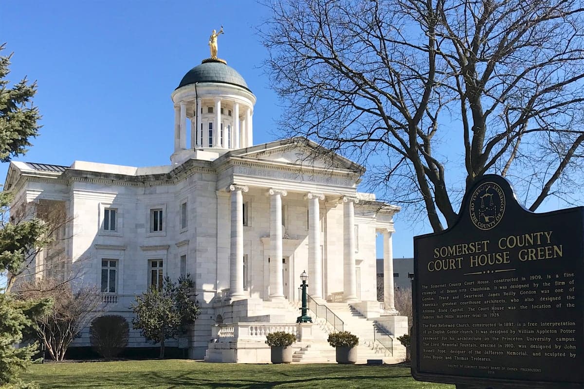
Photo: Wikipedia
Strategic Assessment of Somerset County
Multiple tactical vulnerabilities. Population density, target proximity, or disaster risk are likely compounding. A retreat property and exit planning is required.
What does the Strategic Assessment tell us?
Our Strategic Assessment grades tactical survivability of an area. Major population centers, military targets, fallout zones, natural disasters, and border exposure all drive risk — lower exposure means a more defensible position in a crisis.
This is heavily inspired by Joel Skousen's Strategic Relocation book. Highly recommended you checkout the book ($)What does this tell us?
Our Strategic Assessment grades tactical survivability of an area. Major population centers, military targets, fallout zones, natural disasters, and border exposure all drive risk — lower exposure means a more defensible position in a crisis.
This is heavily inspired by Joel Skousen's Strategic Relocation book. Highly recommended you checkout the book ($)Strategic Pillars

Key Distances
Strategic Assessment Analysis
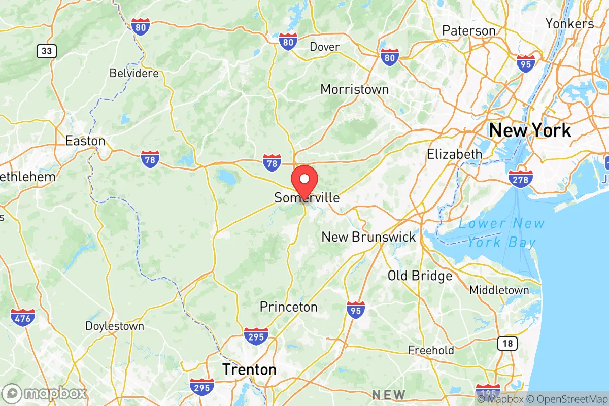
Somerset County, New Jersey, occupies a strategic position that balances proximity to major economic centers with a degree of geographic insulation that appeals to relocation-minded readers focused on resilience. Located roughly 40 miles west of New York City and 15 miles north of Trenton, the county offers a mix of suburban towns, rural farmland, and protected natural areas that provide both opportunity and practical advantages for those thinking seriously about disaster readiness and self-sufficiency. Its location within the Raritan Valley region, combined with a lower population density than neighboring counties, makes it a credible option for families and individuals seeking a defensible base within the New York metropolitan area's broader orbit.
Geographic position and natural advantages for resilience
Somerset County's geography is defined by the Raritan River watershed, the Watchung Mountains, and extensive state parkland, including the Sourland Mountain region and portions of the Delaware and Raritan Canal State Park. These natural features create a layered buffer against the kind of cascading disruptions that affect denser urban corridors. The county's elevation ranges from roughly 50 feet along the Raritan River to over 500 feet in the Sourlands, providing natural drainage advantages and reducing flood risk in higher-elevation communities like Bedminster, Far Hills, and Bernardsville. The presence of the Raritan River and its tributaries offers a reliable surface water source, though it also introduces floodplain considerations in lower-lying areas such as Bound Brook and Manville, which have experienced significant flooding in past storm events. The county's position away from the immediate coastline reduces exposure to hurricane storm surge, though inland flooding from nor'easters remains a periodic concern. For a relocator prioritizing geographic defensibility, the combination of elevation, forest cover, and distance from major ports and refineries—the nearest major refinery is the Phillips 66 Bayway Refinery in Linden, roughly 25 miles east—provides a meaningful buffer against both natural and man-made hazards.
Risks, exposures, and proximity to fallout-relevant landmarks
While Somerset County avoids the most acute risks of coastal or refinery-adjacent locations, it is not without vulnerabilities. The county sits within the broader New York City metropolitan area, which is a Tier 1 target for any large-scale disruption scenario. Key infrastructure within or near the county includes Interstate 287 and Route 78, which serve as major evacuation and supply corridors but also as potential chokepoints during emergencies. The Bridgewater Commons area and the Somerville downtown are commercial hubs that could attract secondary effects in a crisis. More specifically, the county is within 30 miles of the Linden Airport and the aforementioned Bayway Refinery, both of which are plausible targets for industrial accidents or targeted disruptions. The Raritan Arsenal (now part of the Raritan Center business park) is a former military logistics site that has been redeveloped but retains historical contamination concerns. For the resilience-minded reader, the key takeaway is that Somerset County is not a remote bunker location—it is a suburban-rural hybrid within a high-value target region. However, its distance from the most critical infrastructure (ports, major refineries, nuclear plants) is greater than that of counties closer to New York Harbor or the Delaware River. The nearest commercial nuclear power plant is the Hope Creek Generating Station in Salem County, roughly 80 miles southwest, which is far enough to reduce direct fallout risk but close enough to warrant awareness of prevailing wind patterns.
Practical resilience for a relocator: food, water, energy, and defensibility
For a relocator serious about self-sufficiency, Somerset County offers several practical advantages. The county's agricultural sector, concentrated in the southern and western townships like Hillsborough, Montgomery, and Franklin, includes working farms, community-supported agriculture (CSA) programs, and farmers' markets that provide local food sources. The Duke Farms foundation in Hillsborough is a 1,000-acre preserve that includes sustainable agriculture demonstration sites and educational programs, though it is not a production farm. Water availability is generally good, with the Raritan River and its tributaries providing surface water, and the county's groundwater aquifers supporting private wells in rural areas. However, well water quality varies, and testing is recommended before purchase. Energy resilience is mixed: the county is served by PSE&G, which has a generally reliable grid, but above-ground power lines in wooded areas are vulnerable to storm-related outages. Solar adoption is growing, with several municipalities offering streamlined permitting, but battery storage is not yet widespread. For defensibility, the county's layout—a mix of suburban subdivisions, rural roads, and protected open space—offers multiple egress routes and natural chokepoints. The Sourland Mountain region, in particular, provides a rugged, low-density area with limited road access that could serve as a fallback zone. However, the county's population density (roughly 1,000 people per square mile in developed areas) means that complete isolation is unrealistic. Practical steps for a relocator include securing a property with a private well, installing solar with battery backup, and establishing relationships with local farms and food cooperatives.
The overall strategic picture for Somerset County is one of balanced trade-offs. It offers genuine geographic advantages—elevation, water resources, agricultural land, and distance from the most critical infrastructure—that make it a credible choice for a resilience-focused relocation within the New York metropolitan area. It is not a remote survivalist retreat, but it is a defensible suburban base with the infrastructure and community resources to sustain a family through moderate disruptions. The key vulnerabilities are its proximity to major transportation corridors and its position within a high-value target region, which means that a truly catastrophic event would still affect the area. For the reader who wants to be within striking distance of urban employment while maintaining a realistic degree of self-sufficiency, Somerset County deserves serious consideration—provided they are prepared to invest in property-level resilience measures and accept that no location in the Northeast corridor is entirely immune to the risks of modern infrastructure and geopolitics.

* Values derived from national, state, county, city and local statistics and may differ in a specific area. Last updated: 2026-09-30T11:10:15.000Z
Narrative content on this page is AI-generated and may contain mistakes. Verify any details that matter before acting on them.
ReloMaps may earn a commission from affiliate links at no extra cost to you.

