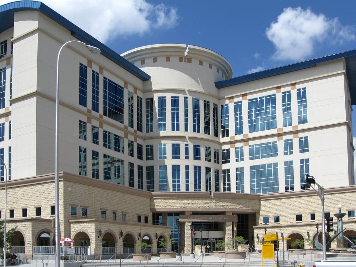
Photo: Wikipedia
Strategic Assessment of Bernalillo County
Multiple tactical vulnerabilities. Population density, target proximity, or disaster risk are likely compounding. A retreat property and exit planning is required.
What does the Strategic Assessment tell us?
Our Strategic Assessment grades tactical survivability of an area. Major population centers, military targets, fallout zones, natural disasters, and border exposure all drive risk — lower exposure means a more defensible position in a crisis.
This is heavily inspired by Joel Skousen's Strategic Relocation book. Highly recommended you checkout the book ($)What does this tell us?
Our Strategic Assessment grades tactical survivability of an area. Major population centers, military targets, fallout zones, natural disasters, and border exposure all drive risk — lower exposure means a more defensible position in a crisis.
This is heavily inspired by Joel Skousen's Strategic Relocation book. Highly recommended you checkout the book ($)Strategic Pillars

Key Distances
Strategic Assessment Analysis
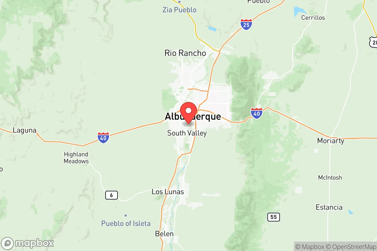
Bernalillo County offers a mixed strategic picture for relocators focused on resilience, balancing significant geographic advantages with real exposure to both natural and man-made risks. Anchored by Albuquerque, the county sits at a crossroads of the Rio Grande Valley and the Sandia Mountains, providing a population center that is both a resource hub and a potential liability. For a single individual or family weighing disaster readiness and self-sufficiency, the area’s defensible terrain and access to water are countered by its proximity to critical infrastructure and a major metropolitan area that could become a focal point in a crisis.
Geographic position and natural advantages for long-term stability
Bernalillo County’s location in central New Mexico gives it a unique set of natural buffers. The Sandia and Manzano Mountains to the east create a natural barrier that limits easy access from that direction, while the Rio Grande Valley provides a reliable water source—a critical asset in the arid Southwest. The county sits at an elevation of roughly 5,000 feet, which moderates temperatures compared to lower desert areas and reduces the risk of extreme heat waves that plague places like Phoenix. The terrain is varied, with high desert plains, foothills, and forested mountain slopes, offering multiple microclimates and potential retreat zones within a short drive. For a relocator, this means you can live in the valley near Albuquerque’s amenities or push east toward the mountains for more defensible, off-grid property. The county’s position also places it away from major coastal hurricane zones and the seismic activity of California, though it is not immune to earthquakes entirely—the Rio Grande Rift is a minor but real seismic zone. The dry climate reduces mold and decay issues, and the low humidity is a practical advantage for long-term food and equipment storage.
Risks, exposures, and proximity to fallout-relevant landmarks
The most significant risk for Bernalillo County is its proximity to multiple high-value, high-risk targets. Kirtland Air Force Base, located within Albuquerque’s city limits, is a major nuclear weapons storage and research facility, housing the Sandia National Laboratories and the Air Force Nuclear Weapons Center. This makes the county a potential primary target in a conflict scenario, with fallout risks extending across the metro area. Additionally, the Los Alamos National Laboratory is roughly 90 miles north, and the Waste Isolation Pilot Plant (WIPP) near Carlsbad is about 300 miles southeast—both are nuclear-related sites that could draw secondary effects. The county also hosts the Albuquerque International Sunport, a major transportation hub, and the Rio Grande Refinery in nearby Bloomfield (though not in the county, it’s within 150 miles), adding to the industrial target profile. Natural risks include periodic drought, which stresses water supplies, and the potential for severe thunderstorms and flash flooding in the arroyos that cut through the valley. Wildfire risk is moderate but real, especially in the foothills and mountain areas east of Albuquerque—the 2022 Calf Canyon/Hermits Peak Fire, though north of the county, demonstrated the region’s vulnerability. For a relocator, the key takeaway is that while the county offers natural buffers, it sits near some of the most sensitive military and nuclear infrastructure in the United States, which is a serious consideration for anyone prioritizing fallout safety.
Practical resilience for a relocator: food, water, energy, and defensibility
On the practical side, Bernalillo County provides a solid foundation for self-sufficiency, but with caveats. Water access is the county’s strongest asset—the Rio Grande and the underlying aquifer supply Albuquerque’s municipal system, and many rural properties have well rights. However, the region is in a long-term drought cycle, and water rights are complex and expensive; a relocator should verify water access before buying land. Food production is feasible in the valley’s fertile floodplain, with a growing season from April to October, but the high desert climate limits crop variety—think beans, squash, corn, and hardy greens. Local farmers’ markets are abundant, and the county has a strong network of small-scale growers, but large-scale agriculture is not the norm. Energy resilience is mixed: the grid is generally reliable, but summer heat waves and winter storms can cause outages. Solar potential is excellent—Albuquerque averages 280 sunny days per year—making rooftop solar a viable investment for off-grid capability. Natural gas is widely available in urban areas, but rural properties may rely on propane. Defensibility varies by location: the mountain foothills offer natural chokepoints and visibility, while the valley floor is more exposed. The county’s population density is moderate—about 670,000 people—but Albuquerque itself is a dense urban center that could become chaotic in a crisis. For a family, the best strategy is to locate in the eastern or southern parts of the county, away from the city core and closer to the mountains, where you can leverage terrain for security while still accessing Albuquerque’s hospitals and supply chains. The presence of University of New Mexico Hospital and Presbyterian Hospital in Albuquerque provides top-tier medical care, but these facilities could be overwhelmed in a major event.
Overall, Bernalillo County is a strategic location for a relocator who values water access, moderate climate, and natural defensibility, but it demands a clear-eyed assessment of its risks. The presence of Kirtland Air Force Base and nearby nuclear labs makes it a high-consequence area in a national security scenario, which may outweigh the practical advantages for some. For those willing to accept that trade-off, the county offers a realistic path to self-sufficiency with good solar potential, reliable water, and a supportive community of like-minded preppers and homesteaders. The key is to avoid the urban core and secure a property with independent water and energy systems, ideally in the foothills or southern valley. If you can manage the target risk, Bernalillo County provides a resilient base with access to the broader Southwest’s resources—but it is not a low-profile location, and that should be factored into any serious relocation decision.

* Values derived from national, state, county, city and local statistics and may differ in a specific area. Last updated: 2026-08-24T19:26:37.000Z
Narrative content on this page is AI-generated and may contain mistakes. Verify any details that matter before acting on them.
ReloMaps may earn a commission from affiliate links at no extra cost to you.

