
Photo: Wikipedia
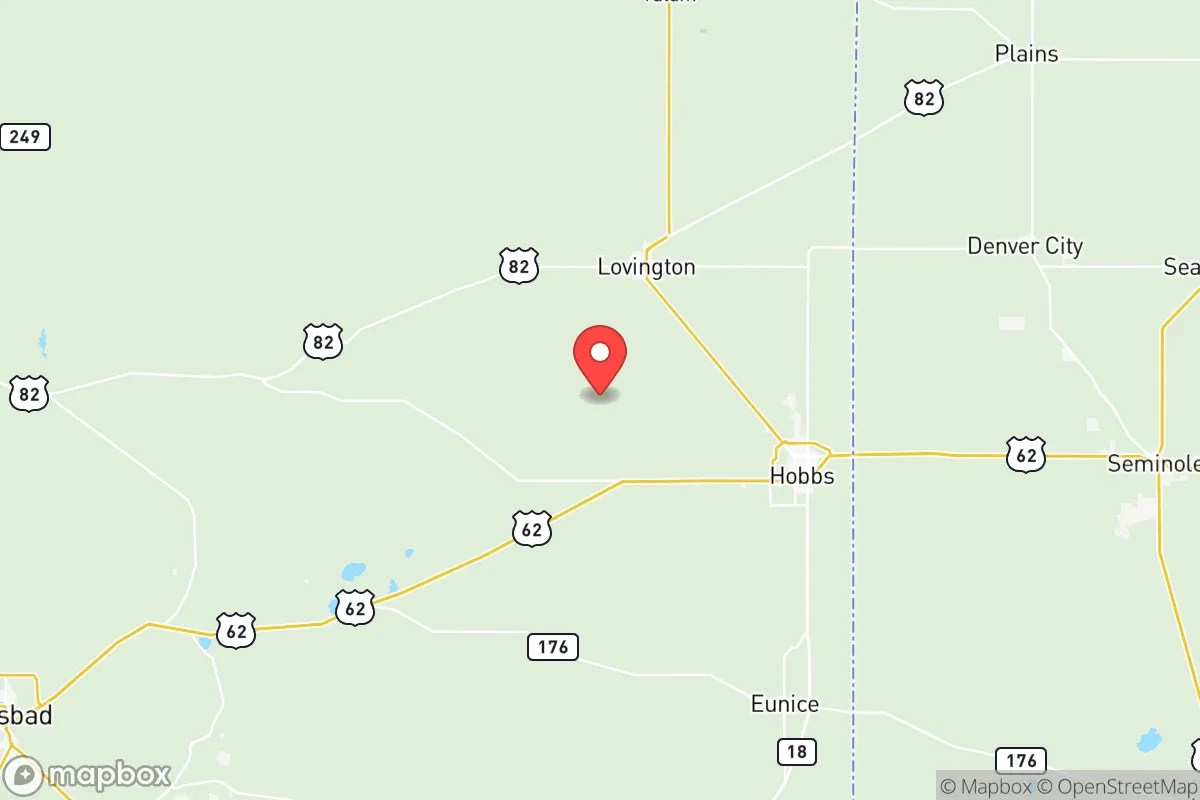
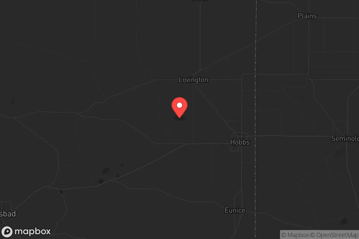
Strategic Assessment of Lea County
Strong survivability profile. Good buffer from population centers, with manageable environmental and tactical risks.
What does the Strategic Assessment tell us?
Our Strategic Assessment grades tactical survivability of an area. Major population centers, military targets, fallout zones, natural disasters, and border exposure all drive risk — lower exposure means a more defensible position in a crisis.
This is heavily inspired by Joel Skousen's Strategic Relocation book. Highly recommended you checkout the book ($)What does this tell us?
Our Strategic Assessment grades tactical survivability of an area. Major population centers, military targets, fallout zones, natural disasters, and border exposure all drive risk — lower exposure means a more defensible position in a crisis.
This is heavily inspired by Joel Skousen's Strategic Relocation book. Highly recommended you checkout the book ($)Strategic Pillars

Key Distances
Strategic Assessment Analysis
Lea County, New Mexico, occupies a distinctive strategic position in the American Southwest that rewards careful study by anyone prioritizing resilience, self-sufficiency, and distance from major metropolitan vulnerabilities. Anchored by the twin hubs of Hobbs and Lovington, the county sits far from the coastal corridors and sprawling urban centers that concentrate risk, yet remains connected to essential infrastructure and resources. For a relocator thinking seriously about disaster readiness, Lea County offers a blend of geographic isolation, energy independence, and practical defensibility that is increasingly rare in the lower 48 states.
Geographic position and natural advantages for long-term stability
Lea County’s location in the southeastern corner of New Mexico places it at a strategic crossroads of the Permian Basin, one of the most productive oil and natural gas regions in the United States. The county is roughly equidistant from the major population centers of El Paso, Texas (about 120 miles southwest), Lubbock, Texas (about 120 miles east), and Albuquerque, New Mexico (about 250 miles northwest). This distance from large cities is a net positive for resilience: it reduces exposure to cascading failures from urban infrastructure, civil unrest, or disease outbreaks. The terrain is high desert, with an average elevation around 3,600 feet, offering a dry climate that mitigates many of the mold, pest, and structural decay issues common in humid regions. The area is also far from active fault lines, major floodplains, and hurricane-prone coastlines, meaning the baseline natural disaster risk is low compared to much of the country. The county’s position within the Permian Basin also means it sits atop vast underground reserves of oil and natural gas, which provides a local energy supply that most of the country cannot match.
Risks, exposures, and proximity to fallout-relevant landmarks
While Lea County’s isolation is a strength, it is not without exposure to man-made risks. The most significant concern is the county’s deep integration with the oil and gas industry. The Permian Basin is a dense network of wells, pipelines, refineries, and processing plants. A major industrial accident—such as a large-scale pipeline rupture, refinery fire, or well blowout—could create localized hazards, including air and water contamination. The county is also within roughly 150 miles of the Waste Isolation Pilot Plant (WIPP) near Carlsbad, New Mexico, a deep geological repository for transuranic radioactive waste from the nation’s nuclear weapons program. While WIPP has operated safely for decades, a major incident there could theoretically affect downwind areas, including parts of Lea County. Additionally, the county is about 200 miles from the Pantex Plant near Amarillo, Texas, the primary nuclear weapons assembly and disassembly facility in the United States. For a relocator focused on fallout risk, Lea County is not in the immediate danger zone of either site, but it is within a broader regional radius that warrants awareness. On the positive side, the county is far from the nation’s major population centers, military bases like Fort Hood (now Fort Cavazos) in central Texas, and the refinery corridors of Houston and the Gulf Coast, which are high-value targets in any conflict scenario. The nearest significant military installation is Cannon Air Force Base near Clovis, New Mexico, about 100 miles northwest, which is a relatively low-profile facility.
Practical resilience for a relocator: food, water, energy, and defensibility
For a relocator prioritizing self-sufficiency, Lea County presents a mixed but generally favorable picture. Energy is the county’s strongest asset. The Permian Basin provides abundant local natural gas and oil, meaning heating, cooking, and fuel for vehicles and generators are readily available and relatively inexpensive. Many homes in the area already use natural gas, and the infrastructure for propane delivery is well-established. Solar potential is excellent, with over 280 sunny days per year, making off-grid solar power a viable supplement. Water is the most significant vulnerability. Lea County is arid, receiving only about 14 inches of precipitation annually. The primary water source is the Ogallala Aquifer, which is being depleted faster than it recharges. Municipal water in Hobbs and Lovington is treated and reliable, but a relocator seeking true self-sufficiency would need to invest in rainwater catchment, deep well drilling (which can be expensive and uncertain), or water storage. The county does have some surface water in the form of small reservoirs and playa lakes, but these are not reliable year-round. Food production is possible but requires effort. The growing season is long (about 200 frost-free days), but the soil is sandy and low in organic matter. With irrigation, raised beds, or greenhouse techniques, a determined gardener can produce vegetables, but large-scale subsistence farming is not realistic without significant water resources. Local food sources are limited; the county has few farms and ranches, and most groceries are trucked in. For defensibility, the county’s low population density (about 12 people per square mile) and vast open spaces make it easy to maintain situational awareness. The terrain is flat to gently rolling, with few natural choke points, but the lack of dense tree cover means visibility is excellent. The local culture is heavily influenced by the oil patch and ranching, which tends to produce a self-reliant, firearm-friendly population—a factor that many relocators view as a positive for community security.
The overall strategic picture for Lea County is one of trade-offs that favor the prepared relocator. Its isolation from major cities and industrial targets is a genuine advantage, and its energy abundance is a rare and powerful asset in a disaster scenario. The water scarcity is the primary long-term challenge, but one that can be managed with planning and investment. The county’s exposure to oil and gas industry risks and its proximity to WIPP and Pantex are real but manageable concerns, especially compared to the risks of living near a major port, refinery complex, or military base. For a single individual or family willing to invest in water storage, solar power, and a modest greenhouse, Lea County offers a defensible, low-profile, and resource-rich base of operations in a region of the country that is often overlooked by the mainstream preparedness community. It is not a paradise, but it is a solid, practical choice for those who value distance, energy security, and a no-nonsense local culture.
* Values derived from national, state, county, city and local statistics and may differ in a specific area. Last updated: 2026-06-12T19:35:15.000Z
Narrative content on this page is AI-generated and may contain mistakes. Verify any details that matter before acting on them.
ReloMaps may earn a commission from affiliate links at no extra cost to you.