Photo: Wikipedia
Strategic Assessment of Socorro County
Strong survivability profile. Good buffer from population centers, with manageable environmental and tactical risks.
What does the Strategic Assessment tell us?
Our Strategic Assessment grades tactical survivability of an area. Major population centers, military targets, fallout zones, natural disasters, and border exposure all drive risk — lower exposure means a more defensible position in a crisis.
This is heavily inspired by Joel Skousen's Strategic Relocation book. Highly recommended you checkout the book ($)What does this tell us?
Our Strategic Assessment grades tactical survivability of an area. Major population centers, military targets, fallout zones, natural disasters, and border exposure all drive risk — lower exposure means a more defensible position in a crisis.
This is heavily inspired by Joel Skousen's Strategic Relocation book. Highly recommended you checkout the book ($)Strategic Pillars

Key Distances
Strategic Assessment Analysis
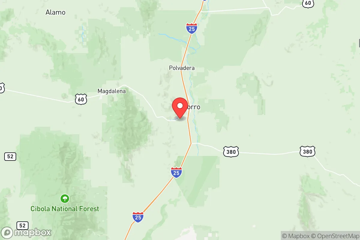
Socorro County, New Mexico, offers a strategic relocation option for those prioritizing resilience and distance from major population centers, sitting roughly 75 miles south of Albuquerque along the I-25 corridor. Its low population density—around 16,000 residents spread over 6,600 square miles—provides natural buffer from the cascading failures that often follow grid-down events or civil unrest in larger metros. The county’s location along the Rio Grande and its proximity to the White Sands Missile Range and the Very Large Array (VLA) make it a unique blend of isolation and critical infrastructure awareness, though these same assets introduce specific risk considerations that a serious prepper must weigh.
Geographic position and natural advantages for long-term survival
Socorro County sits at the intersection of the Rio Grande Valley and the Plains of San Agustin, offering diverse terrain that includes river bottomlands, high desert mesas, and mountain foothills. The county seat, Socorro, is the only incorporated town of note, with a population under 9,000, while smaller communities like Magdalena, San Antonio, and Veguita dot the landscape. This spread-out settlement pattern means that even a localized event—like a truck bombing or a refinery fire—won’t easily cascade across the entire county. The Rio Grande provides a reliable surface water source, though it’s heavily managed and subject to drought cycles; the real advantage is the aquifer beneath the valley, which supports deep wells for those who secure water rights. The surrounding mountains, including the Magdalena Range and the San Mateo Mountains, offer defensible retreat positions with line-of-sight observation over the valley floor. For a relocator, the ability to grow food in the river valley’s alluvial soils, combined with ample public land for hunting and foraging, creates a self-sufficiency baseline that’s hard to match in more arid parts of the Southwest.
Risks, exposures, and proximity to fallout-relevant landmarks
The same isolation that makes Socorro attractive also places it near several high-value targets that could become fallout-relevant in a major conflict or terrorist event. White Sands Missile Range lies roughly 40 miles south, a sprawling military test facility that includes the Trinity Site—the location of the first atomic bomb detonation. While the range is active, its presence means the area could see increased military traffic or become a secondary target in a broader conflict. The Very Large Array radio telescope complex, located about 50 miles west of Socorro on the Plains of San Agustin, is a civilian scientific asset but could be considered a strategic communications node. More concerning for a prepper is the San Juan Generating Station (a coal-fired power plant) and the Four Corners region’s energy infrastructure, though these are over 150 miles northwest—far enough to avoid direct fallout but close enough to feel supply chain disruptions. The county’s position along I-25, a major north-south route, means that in a crisis, Socorro could become a chokepoint for refugees fleeing Albuquerque or El Paso. The risk of civil unrest is low locally, but the county’s small law enforcement presence—the Socorro County Sheriff’s Office has fewer than 30 sworn deputies—means that any influx of displaced persons could quickly overwhelm local resources. Wildfire risk is moderate, particularly in the mountain foothills, and the area is seismically stable, with no major fault lines nearby.
Practical resilience for a relocator: food, water, energy, and defensibility
For a relocator serious about self-sufficiency, Socorro County offers a mixed bag. Water is the primary concern: the Rio Grande is surface water, but it’s subject to interstate compacts and drought allocations. Deep wells in the valley can produce 10-20 gallons per minute at depths of 200-400 feet, but drilling costs run $15,000-$30,000. Rainwater catchment is viable, with the area averaging 8-10 inches annually, but storage capacity must be substantial. Food production is feasible in the river valley, where the growing season runs April to October; crops like chiles, corn, beans, and squash thrive. The county has a small but active farming community, and the Socorro Farmers Market provides local produce, though it’s seasonal. For long-term storage, the dry climate (low humidity) is ideal for preserving grains and dried goods without spoilage. Energy is a weak point: the grid is served by PNM (Public Service Company of New Mexico), which has experienced outages during winter storms and summer heat waves. Solar is a strong option, with over 280 sunny days per year, but off-grid systems require battery storage to handle winter cloud cover. Natural gas is available in Socorro proper, but rural properties rely on propane. Defensibility is the county’s strongest asset: the terrain offers natural chokepoints, and the low population density means that a well-chosen property—say, a ranch in the Magdalena foothills or a homestead near the Cibola National Forest—can be monitored from a distance. The county’s gun culture is robust, with the Socorro Gun Club and multiple shooting ranges, and New Mexico’s constitutional carry law (effective since 2021) means no permit is needed for concealed carry. However, the county’s distance from major medical facilities—the nearest Level 1 trauma center is in Albuquerque, 75 miles north—is a significant vulnerability for any long-term survival scenario involving injury or illness.
The overall strategic picture for Socorro County is one of calculated trade-offs. It offers genuine isolation from the chaos of Albuquerque, El Paso, and the I-25 corridor’s urban centers, with enough natural resources—water, arable land, defensible terrain—to support a prepared family or individual. The presence of White Sands and the VLA introduces a non-zero risk of military or terrorist attention, but these are far less concerning than living within blast radius of a refinery or a major port. For the conservative-leaning prepper who values self-reliance, low taxes (New Mexico has no inheritance tax and a flat income tax rate of 4.9%), and a community that largely keeps to itself, Socorro County is a solid B+ option—not perfect, but far better than most of the Southwest. The key is to secure water rights early, invest in solar and battery backup, and build relationships with the local ranching community before a crisis hits. If you’re looking for a place to ride out the storm without being in the storm’s path, this is worth a serious look.
* Values derived from national, state, county, city and local statistics and may differ in a specific area. Last updated: 2026-05-28T03:36:19.000Z
Narrative content on this page is AI-generated and may contain mistakes. Verify any details that matter before acting on them.
ReloMaps may earn a commission from affiliate links at no extra cost to you.