Photo: Wikipedia
Strategic Assessment of New York County
High tactical risk. This location is likely close to major population centers, strategic targets, or sits in a high-disaster corridor. A retreat property and careful exit planning is required.
What does the Strategic Assessment tell us?
Our Strategic Assessment grades tactical survivability of an area. Major population centers, military targets, fallout zones, natural disasters, and border exposure all drive risk — lower exposure means a more defensible position in a crisis.
This is heavily inspired by Joel Skousen's Strategic Relocation book. Highly recommended you checkout the book ($)What does this tell us?
Our Strategic Assessment grades tactical survivability of an area. Major population centers, military targets, fallout zones, natural disasters, and border exposure all drive risk — lower exposure means a more defensible position in a crisis.
This is heavily inspired by Joel Skousen's Strategic Relocation book. Highly recommended you checkout the book ($)Strategic Pillars

Key Distances
Strategic Assessment Analysis
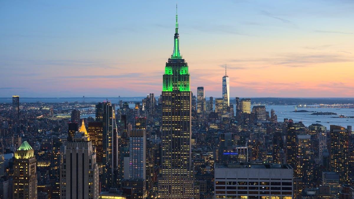
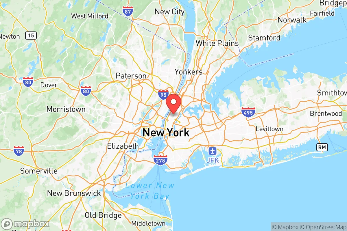
New York County—Manhattan—presents a paradox for the relocation-minded conservative reader: it is the economic and cultural engine of the Northeast, yet its very density and island geography create acute vulnerabilities that demand serious strategic consideration. While the borough boasts unmatched infrastructure resilience and a diversified economy that has rebounded from every shock since 9/11, its reliance on external supply chains, limited evacuation routes, and proximity to high-value targets make it a high-risk, high-reward environment for anyone weighing disaster readiness and self-sufficiency. The following assessment breaks down Manhattan’s geographic position, exposure to natural and man-made risks, and practical resilience for a relocator thinking beyond the daily commute.
Geographic position and natural advantages of Manhattan Island
Manhattan occupies a narrow island between the Hudson and East Rivers, a position that historically gave it a natural moat and control over regional trade. The island’s bedrock—solid schist—provides exceptional foundation stability, which is why its skyscrapers have withstood hurricanes and earthquakes better than many coastal cities. The surrounding waterways offer abundant fresh water (the Hudson and East Rivers are tidal but fed by upstate reservoirs) and a natural barrier against ground-based threats. The borough’s highest natural point, Bennett Park in Washington Heights, rises about 265 feet above sea level, offering some refuge from storm surge, though most of Lower Manhattan sits at or below 10 feet. The proximity to the Port of New York and New Jersey—the largest port on the East Coast—means that in a non-catastrophic scenario, Manhattan could receive supplies by barge or ship, a logistical advantage over landlocked areas. However, the island’s narrow footprint (just 23 square miles) and its 1.6 million residents mean that any natural advantage is quickly overwhelmed by population density.
Risks, exposures, and proximity to fallout-relevant landmarks
Manhattan’s concentration of high-value targets makes it a prime consideration for anyone concerned with man-made disasters. The Financial District, home to the New York Stock Exchange and the Federal Reserve Bank, is a clear strategic target, as is the United Nations headquarters on the East River. The Lincoln Tunnel, Holland Tunnel, and George Washington Bridge are critical chokepoints that could be compromised in a crisis, effectively trapping residents on the island. The borough also sits within the fallout shadow of any incident at the Indian Point Energy Center (though that facility is now decommissioned, its spent fuel remains on site) and is downwind of the region’s major chemical and industrial corridors in New Jersey. Hurricane storm surge remains the most probable natural risk: a Category 2 storm could flood much of Lower Manhattan, including the subway system, cutting power and transportation for weeks. The 2021 Hurricane Ida flash floods demonstrated that even inland rainfall can overwhelm the city’s drainage, with basement apartments in neighborhoods like Harlem and the Upper West Side becoming death traps. For a conservative-leaning reader, the borough’s reliance on a single power grid (Con Edison) and a centralized water system (the Catskill/Delaware aqueducts) means that a coordinated attack or cyber event could paralyze the entire island.
Practical resilience for a relocator: food, water, energy, and defensibility
Manhattan’s practical resilience for a self-sufficient relocator is low. The borough has no significant agricultural land; virtually all food arrives by truck, rail, or barge, and the Hunts Point Terminal Market in the Bronx is the primary distribution hub. In a prolonged disruption, grocery shelves would empty within 72 hours. The water supply is robust—the New York City water system delivers over a billion gallons daily from upstate reservoirs—but it relies on gravity-fed tunnels that could be damaged by seismic activity or sabotage. Energy is equally fragile: Manhattan’s electric grid is underground and hardened, but it depends on natural gas pipelines and transmission lines from outside the borough. Solar potential is limited by skyscraper shadows and roof space, and backup generators are common only in commercial buildings. Defensibility is a mixed bag: the island’s bridges and tunnels can be controlled, but the sheer number of entry points (16 bridges, 4 tunnels, and ferry landings) makes complete isolation impractical. Neighborhoods like the Upper East Side and Battery Park City have doormen and private security, but that offers little protection against a widespread event. For a family seeking a bug-out location or a homesteading lifestyle, Manhattan is arguably the worst choice in the state. For a single professional who can afford a high-rise with a generator and a stocked pantry, and who values the economic and social resilience of a global city, it remains viable—provided they have a clear evacuation plan and a secondary location outside the borough.
Overall, the strategic picture for New York County is one of extreme trade-offs. Its economic resilience—the ability to bounce back after a crisis—is among the highest in the world, thanks to a diversified job base, deep capital markets, and a workforce that has repeatedly demonstrated adaptability. But its physical resilience—the ability to sustain itself during a crisis—is among the lowest. For the conservative-leaning reader who prioritizes self-sufficiency, low population density, and defensible terrain, Manhattan is a non-starter. For someone who must live in the region for work or family, the key is to treat Manhattan as a temporary base, not a permanent refuge. Have a go-bag, know the ferry schedules, and maintain a relationship with a rural property in the Hudson Valley or the Catskills. The island’s advantages are real, but they come with a risk profile that demands constant awareness and preparation.

* Values derived from national, state, county, city and local statistics and may differ in a specific area. Last updated: 2026-10-12T10:37:03.000Z
Narrative content on this page is AI-generated and may contain mistakes. Verify any details that matter before acting on them.
ReloMaps may earn a commission from affiliate links at no extra cost to you.

