Photo: Wikipedia
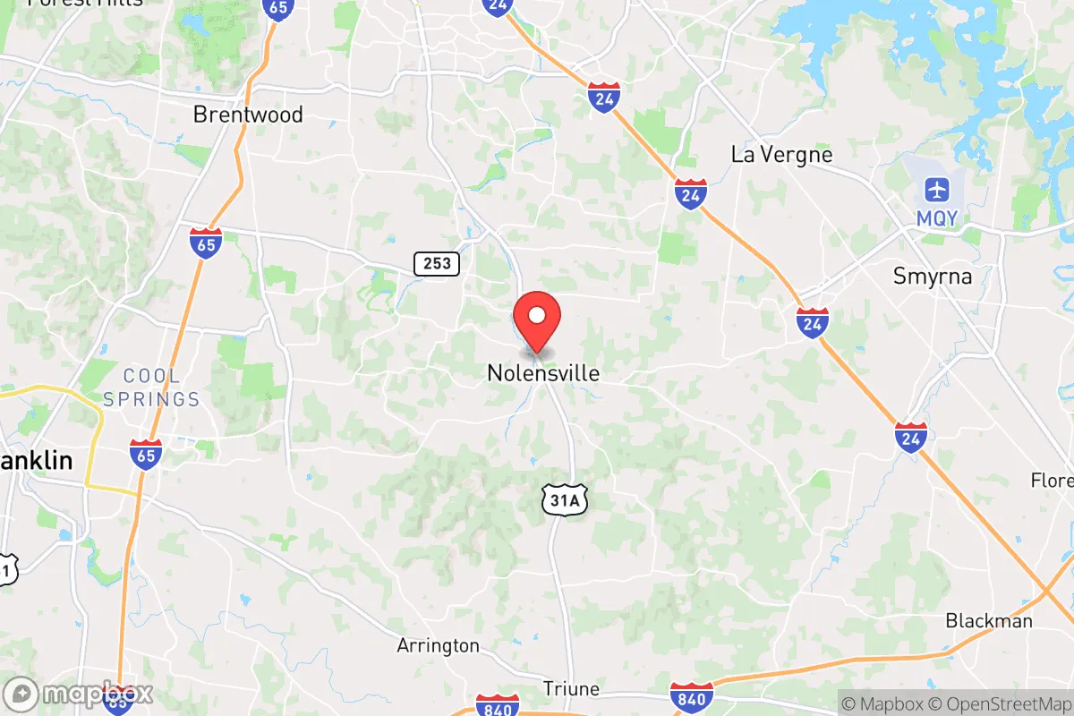
Strategic Assessment of Nolensville, TN
Multiple tactical vulnerabilities. Population density, target proximity, or disaster risk are likely compounding. A retreat property and exit planning is required.
What does the Strategic Assessment tell us?
Our Strategic Assessment grades tactical survivability of an area. Major population centers, military targets, fallout zones, natural disasters, and border exposure all drive risk — lower exposure means a more defensible position in a crisis.
This is heavily inspired by Joel Skousen's Strategic Relocation book. Highly recommended you checkout the book ($)What does this tell us?
Our Strategic Assessment grades tactical survivability of an area. Major population centers, military targets, fallout zones, natural disasters, and border exposure all drive risk — lower exposure means a more defensible position in a crisis.
This is heavily inspired by Joel Skousen's Strategic Relocation book. Highly recommended you checkout the book ($)Strategic Pillars

Key Distances
Regional Safe Places
Below is our recommended "safe zones" in Tennessee and the surrounding area based on our strategic heuristics. For most people, it's unrealistic to live in a “safe zone” full-time due to work, family or other personal reasons. They tend to be more rural. However, many of these areas are perfect for second homes and retreat properties that double as a vacation home or even a short-term rental.
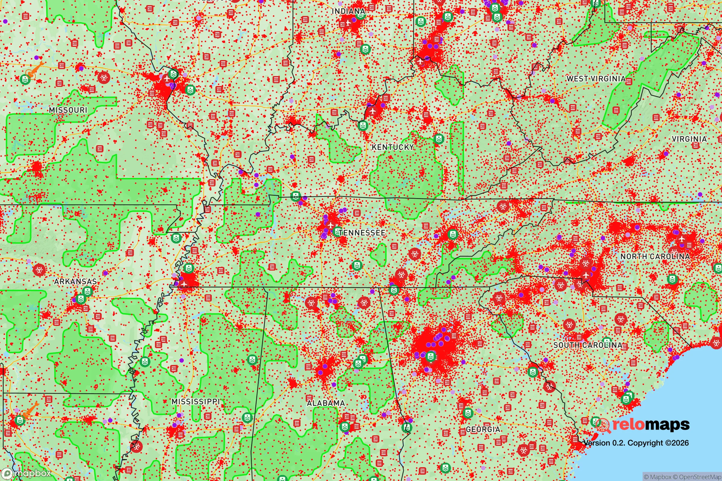
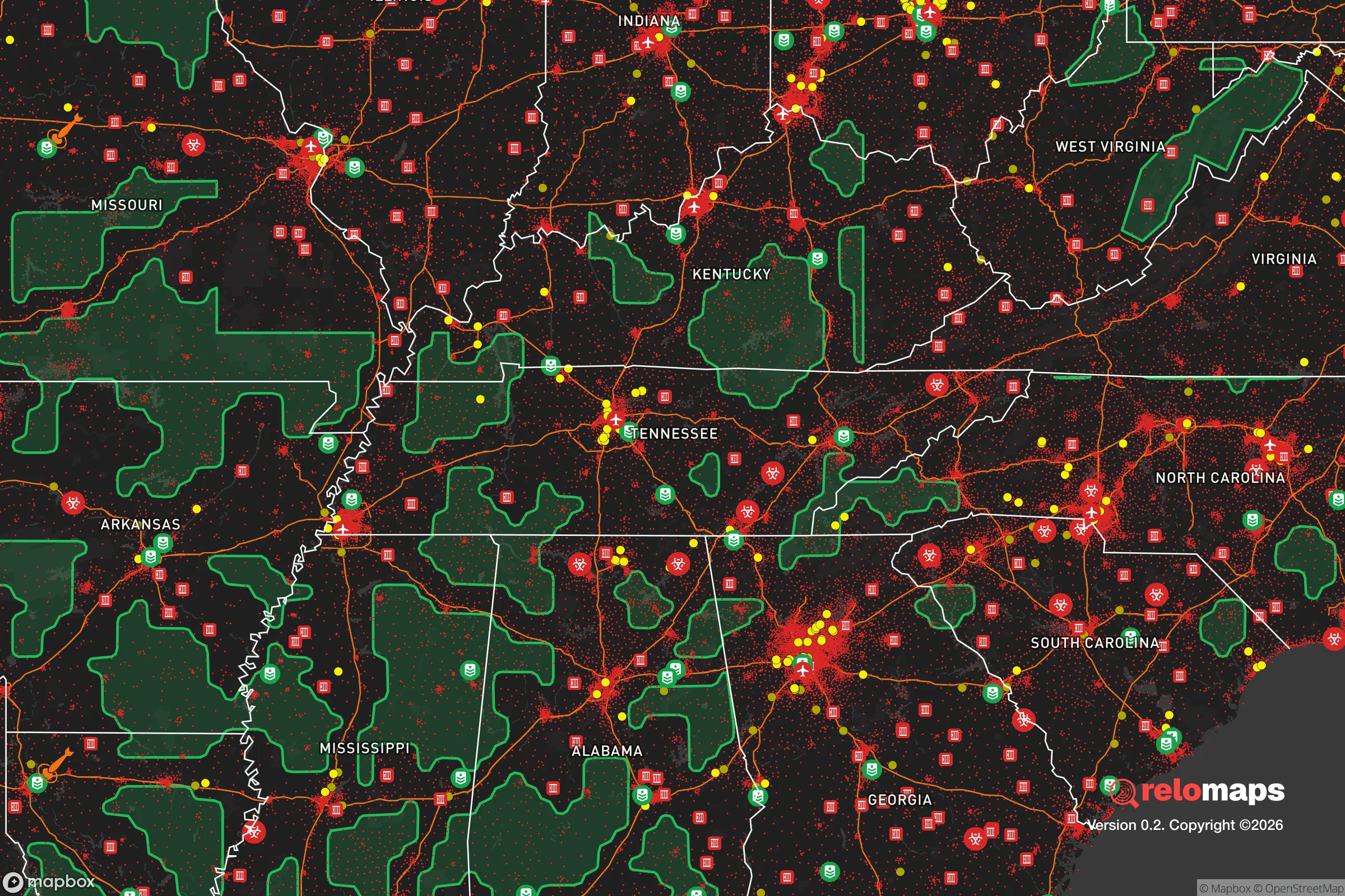
Important Note: For informational purposes only. This does not mean nothing bad ever happens in the green zones. Please use common sense. This is based on public data and modeled with AI. We tried to take a conservative approach but mistakes happen. We update this regularly as new information becomes available.
Solar Generator Recommendations
Backup power matters more here than in safer locations. We've picked three solar generators across budgets and capacity tiers — start with the budget unit if you only need a few essentials, or step up if you want to run a fridge and HVAC for days at a time.

Jackery Portable Power Station Explorer 300
Budget OptionPower on the Go: Weighing only 11 lbs, it's convenient to set up and store with book-sized foldable solar panels

BLUETTI Portable Power Station AC180
Designed for both indoor and outdoor scenarios, AC180 is highly capable as it has a robost capacity and continuous output power.

EF ECOFLOW DELTA Pro Ultra Power Station
Upgraded PickEcoFlow DELTA Pro Ultra is a whole-home energy system designed to grow with your family. Integrated with the Smart Home Panel 2, it scales to meet your evolving energy needs — keeping your home powered, intelligent, and secure through every stage of life.
We earn a commission, at no additional cost to you.
Strategic Assessment Analysis
Nolensville, Tennessee, presents a mixed strategic picture for the conservative prepper or survivalist. Its primary advantage is its position in the Nashville metro’s southern growth corridor, offering access to regional resources while being far enough from the urban core to avoid the worst of a city’s collapse. However, its rapid suburbanization and proximity to major infrastructure create significant vulnerabilities that a serious relocator must weigh. The area’s resilience is not inherent; it is a function of how well you can insulate yourself from the surrounding density and leverage the remaining rural pockets to the south and east.
Geographic position and natural advantages for long-term security
Nolensville sits in Williamson County, roughly 20 miles south of downtown Nashville, placing it in a sweet spot for those who need occasional city access but want to avoid being trapped in a metropolitan disaster zone. The area’s topography is gently rolling hills with limestone bedrock, which provides decent drainage and stable building sites—a plus for constructing a reinforced safe room or underground storage. The surrounding countryside still has patches of hardwood forest and agricultural land, offering some natural cover and potential for small-scale food production. The Harpeth River and its tributaries run through the county, providing a surface water source, though it’s heavily regulated and not a reliable off-grid supply without proper filtration and legal considerations. The climate is temperate, with four distinct seasons, meaning you can grow a variety of crops from April through October, but you’ll also face occasional ice storms and tornado threats. The area’s elevation (around 600-800 feet) is not a flood risk for most properties, but low-lying areas near Mill Creek can flood during heavy rains. For a relocator, the key natural advantage is the ability to blend into a semi-rural landscape while still being within a 30-minute drive of major medical facilities and supply chains—provided those chains remain intact.
Risks, exposures, and proximity to fallout-relevant landmarks
The biggest strategic liability is Nolensville’s location within the Nashville metro’s blast radius. The city is roughly 25 miles from Nashville International Airport (BNA), a primary target for any state-level disruption or terrorist event. The nearby Interstate 65 corridor is a major north-south logistics artery; in a crisis, it will become a chokepoint for refugees fleeing the city, potentially turning Nolensville into a bottleneck. The area is also within 50 miles of the Tennessee Valley Authority’s (TVA) coal and natural gas plants, as well as the Oak Ridge National Laboratory (about 150 miles east), which, while not a nuclear reactor, handles radioactive materials. A major incident at any of these could produce fallout patterns that affect Williamson County depending on wind direction. More immediate risks include the area’s rapid growth—Nolensville’s population has more than doubled since 2010, meaning the infrastructure (water, sewage, power) is strained and heavily reliant on centralized systems. A grid-down scenario would leave most residents without water within 24 hours, as the town relies on the Harpeth Valley Utility District’s pumps. The local police and fire departments are small and would be overwhelmed in a mass casualty event or civil unrest. The county sheriff’s office has a decent reputation, but response times in a widespread emergency would be measured in hours, not minutes. For the prepper, the risk is not just direct attack but the cascading failure of a suburban system built on just-in-time logistics and fragile utilities.
Practical resilience for a relocator: food, water, energy, and defensibility
For a single individual or family serious about self-sufficiency, Nolensville requires significant upfront work. The water situation is the most critical vulnerability: the municipal supply is treated surface water from the Harpeth River, and there are no known community wells. You must install a rainwater catchment system (the area averages 50 inches of rain annually) and a backup well if your property allows—though well permits in Williamson County are increasingly restricted. For food, the local soil is decent for gardening (clay loam), but the growing season is only about 200 days. You can supplement with deer hunting (plenty of white-tailed deer in the rural edges) and fishing in the Harpeth, but you’ll need to stockpile non-perishables for winter. The energy grid is typical suburban: overhead lines prone to ice storm damage. Solar panels with battery storage are a must, but homeowners’ associations (HOAs) in many Nolensville subdivisions restrict visible panels—check the covenants before buying. Defensibility is the weak point. Most homes are in subdivisions with multiple access points, making perimeter security nearly impossible. The ideal property is on the outskirts, with a long driveway, tree cover, and a single road approach. The local gun culture is strong, and Williamson County is a Second Amendment sanctuary, so you can legally carry and store firearms without excessive restrictions. However, the proximity to Nashville means that in a civil unrest scenario, you’ll have to deal with urban refugees moving south. Your best bet is to establish a network of like-minded neighbors—there are several prepper and homesteading groups in the county—and to have a bug-out location further south, toward the Alabama line, if things get truly bad.
The overall strategic picture for Nolensville is one of calculated risk. It offers a solid base for those who want to be near the resources of a major city while maintaining a low profile in a conservative, gun-friendly county. But it is not a remote retreat. The area’s rapid growth has eroded its rural character, and its dependence on centralized infrastructure makes it vulnerable to the very disruptions you’re trying to avoid. For a single individual or family willing to invest in off-grid systems, build a local network, and maintain a low profile, Nolensville can work as a staging area. But if your goal is true long-term resilience in a worst-case scenario—a complete societal breakdown or nuclear event—you’d be better off looking 50 miles further south, where the population density drops and the land is cheaper. Nolensville is a compromise: it’s not a fortress, but it’s not a death trap either. It’s a place to ride out the storm if you’re prepared, but not a place to hunker down for the apocalypse.
* Values derived from national, state, county, city and local statistics and may differ in a specific area. Last updated: 2026-05-01T11:22:18.000Z
Narrative content on this page is AI-generated and may contain mistakes. Verify any details that matter before acting on them.
ReloMaps may earn a commission from affiliate links at no extra cost to you.