Photo: Wikipedia
Strategic Assessment of Mercer County
Deep buffer from population centers and strategic targets. Low natural disaster risk and minimal exposure to border or coastal threats.
What does the Strategic Assessment tell us?
Our Strategic Assessment grades tactical survivability of an area. Major population centers, military targets, fallout zones, natural disasters, and border exposure all drive risk — lower exposure means a more defensible position in a crisis.
This is heavily inspired by Joel Skousen's Strategic Relocation book. Highly recommended you checkout the book ($)What does this tell us?
Our Strategic Assessment grades tactical survivability of an area. Major population centers, military targets, fallout zones, natural disasters, and border exposure all drive risk — lower exposure means a more defensible position in a crisis.
This is heavily inspired by Joel Skousen's Strategic Relocation book. Highly recommended you checkout the book ($)Strategic Pillars

Key Distances
Strategic Assessment Analysis
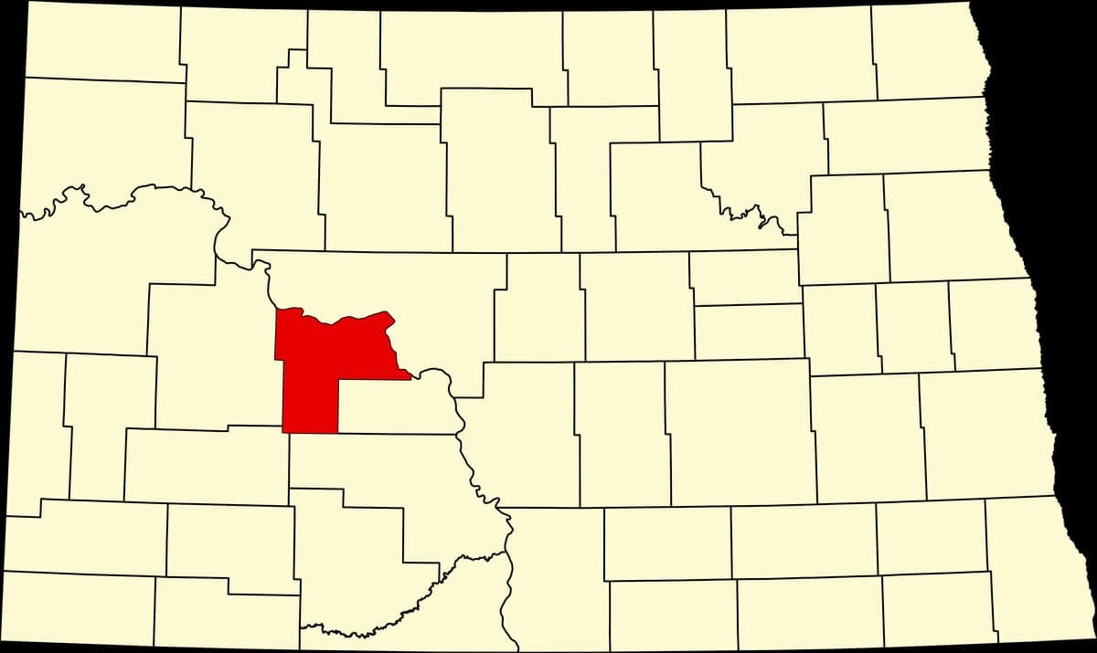
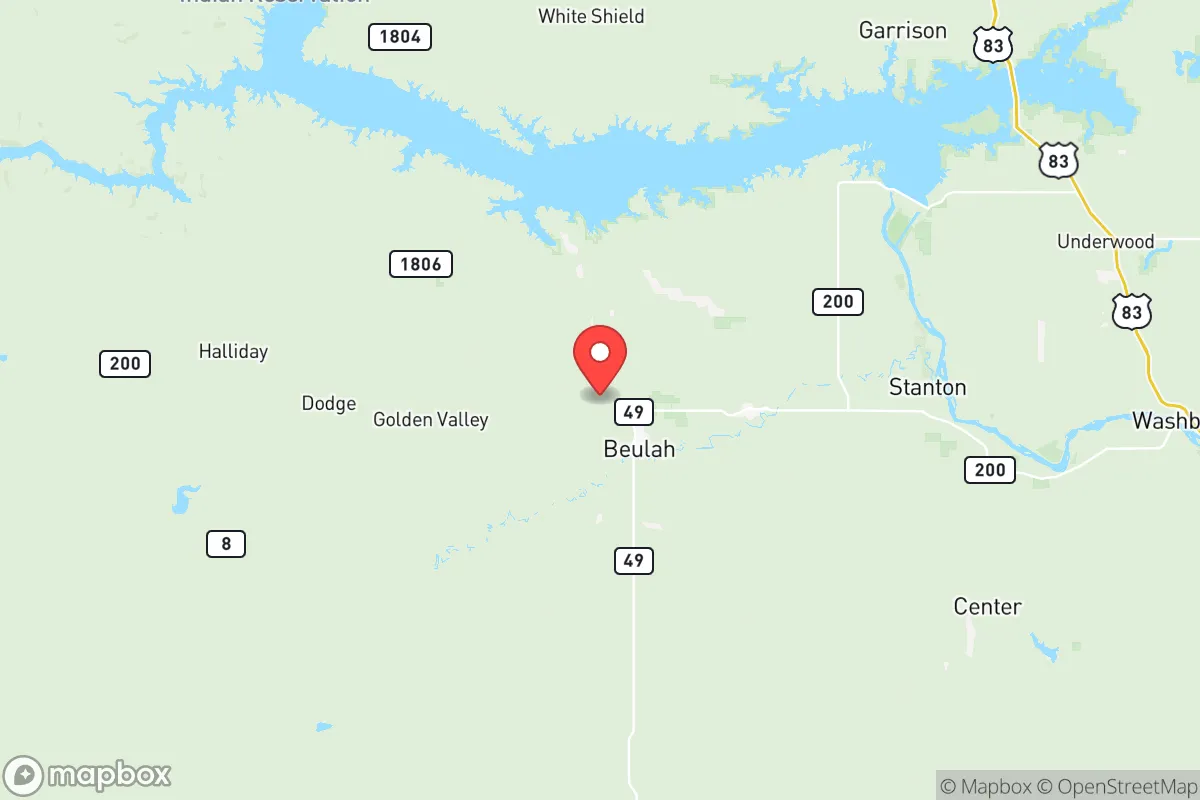
Mercer County, North Dakota, offers a compelling strategic profile for relocation-minded readers who prioritize resilience, self-sufficiency, and distance from major metropolitan vulnerabilities. Situated in the west-central part of the state, the county combines low population density with access to critical infrastructure, making it a practical choice for those assessing long-term stability. Its location—roughly 70 miles northwest of Bismarck and 50 miles southeast of Williston—places it outside the immediate fallout zones of larger cities while still providing reasonable access to regional services and supply chains.
Geographic position and natural advantages for long-term stability
Mercer County’s geography is defined by the Missouri River, which forms its western boundary and provides a reliable freshwater source—a foundational asset for any resilience-minded household. The county seat, Stanton, sits along the river, while the largest town, Beulah, lies a few miles inland. The terrain is rolling plains and buttes, offering natural drainage and limited flood risk compared to river-bottom communities downstream. The area’s cold semi-arid climate means fewer natural disasters than coastal or tornado-prone regions: blizzards and occasional drought are the primary weather concerns, but these are manageable with proper preparation. The county’s low population—around 8,500 residents spread over 1,112 square miles—means ample space for gardening, livestock, or simply maintaining distance from neighbors. This low density also reduces pressure on local resources during disruptions, a factor that distinguishes Mercer County from more crowded rural areas near the Bakken oil fields to the north.
Risks, exposures, and proximity to fallout-relevant landmarks
While Mercer County avoids the worst of man-made risks, it is not without exposure. The county sits within the Williston Basin, a major oil and gas producing region. The Dakota Gasification Company plant near Beulah is a prominent industrial facility that converts coal into synthetic natural gas; it also produces ammonia and other chemicals. This plant, along with the nearby Coyote Station coal-fired power plant, represents a potential target for sabotage or accident, though both are hardened industrial sites with security protocols. The county is also within 100 miles of the Fort Berthold Indian Reservation, where significant oil infrastructure exists, and roughly 150 miles from Minot Air Force Base, home to nuclear-capable B-52 bombers and missile fields. For a relocator assessing fallout risk, Mercer County’s distance from major population centers—Bismarck’s 70,000 residents, Williston’s 30,000—is a net positive, as these cities are not large enough to be primary strategic targets. However, the presence of energy infrastructure means the area is not entirely off the grid in a conflict scenario. The county’s position along the Missouri River also places it downstream from the Garrison Dam (about 60 miles north), a critical piece of flood control and hydroelectric infrastructure whose failure could affect river levels, though the dam is well-maintained and regularly inspected.
Practical resilience for a relocator: food, water, energy, and defensibility
For a household focused on self-sufficiency, Mercer County delivers on several fronts. Water access is excellent: the Missouri River and its tributaries, including the Knife River, provide surface water, while the county’s aquifer systems support private wells. Beulah and Stanton both have municipal water treatment, but a well with a hand pump or a rainwater catchment system offers redundancy. Food production is viable: the growing season is short (roughly 120 frost-free days), but cool-weather crops like potatoes, carrots, and leafy greens thrive, and the county’s agricultural base includes cattle ranching and small grains. Local farmers’ markets in Beulah and Hazen provide seasonal produce, and hunting (deer, pheasant, waterfowl) is a reliable protein source. Energy is a standout strength: Mercer County is a net energy exporter. The Coyote Station plant and the Great Plains Synfuels Plant (part of the Dakota Gasification facility) generate electricity and synthetic fuel, meaning grid power is stable. For off-grid setups, the area has good wind potential and sufficient solar insolation for panels, though winter snow requires regular clearing. Defensibility is moderate: the open terrain offers long sightlines but limited natural cover. A rural property with a good approach road and a well-stocked root cellar or basement provides a solid defensive posture. The county’s small population means fewer strangers passing through, and the local culture—rooted in farming and energy work—tends toward self-reliance and neighborly cooperation. The Mercer County Sheriff’s Office and local emergency services are responsive, but response times in remote areas can exceed 30 minutes, so medical and security preparedness is essential.
The overall strategic picture for Mercer County is one of balanced resilience. It avoids the extreme risks of coastal or border regions while offering tangible advantages in water, energy, and space. The presence of industrial facilities like the Beulah gasification plant introduces a non-zero risk, but this is offset by the county’s low target value compared to major cities or military hubs. For a relocator who values practical self-sufficiency—growing food, securing water, and maintaining a low profile—Mercer County provides a solid foundation. The trade-off is isolation: access to specialized medical care, major shopping, or cultural amenities requires a drive to Bismarck or Dickinson. But for those whose priority is a defensible, resource-rich location with a conservative, community-oriented population, this corner of North Dakota merits serious consideration.

* Values derived from national, state, county, city and local statistics and may differ in a specific area. Last updated: 2026-08-24T21:35:47.000Z
Narrative content on this page is AI-generated and may contain mistakes. Verify any details that matter before acting on them.
ReloMaps may earn a commission from affiliate links at no extra cost to you.

