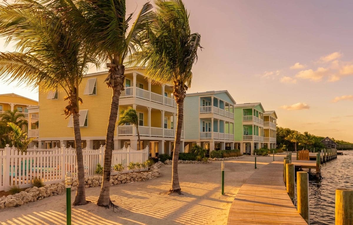

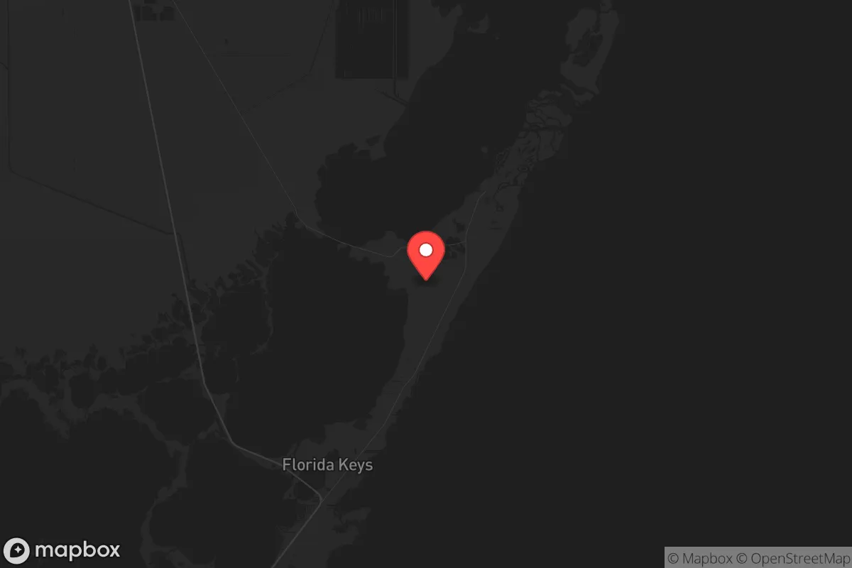
Strategic Assessment of North Key Largo, FL
Workable tactical position. Some exposure to population density or targets, but generally defensible in a crisis.
What does the Strategic Assessment tell us?
Our Strategic Assessment grades tactical survivability of an area. Major population centers, military targets, fallout zones, natural disasters, and border exposure all drive risk — lower exposure means a more defensible position in a crisis.
This is heavily inspired by Joel Skousen's Strategic Relocation book. Highly recommended you checkout the book ($)What does this tell us?
Our Strategic Assessment grades tactical survivability of an area. Major population centers, military targets, fallout zones, natural disasters, and border exposure all drive risk — lower exposure means a more defensible position in a crisis.
This is heavily inspired by Joel Skousen's Strategic Relocation book. Highly recommended you checkout the book ($)Strategic Pillars

Key Distances
Regional Safe Places
Below is our recommended "safe zones" in Florida and the surrounding area based on our strategic heuristics. For most people, it's unrealistic to live in a “safe zone” full-time due to work, family or other personal reasons. They tend to be more rural. However, many of these areas are perfect for second homes and retreat properties that double as a vacation home or even a short-term rental.

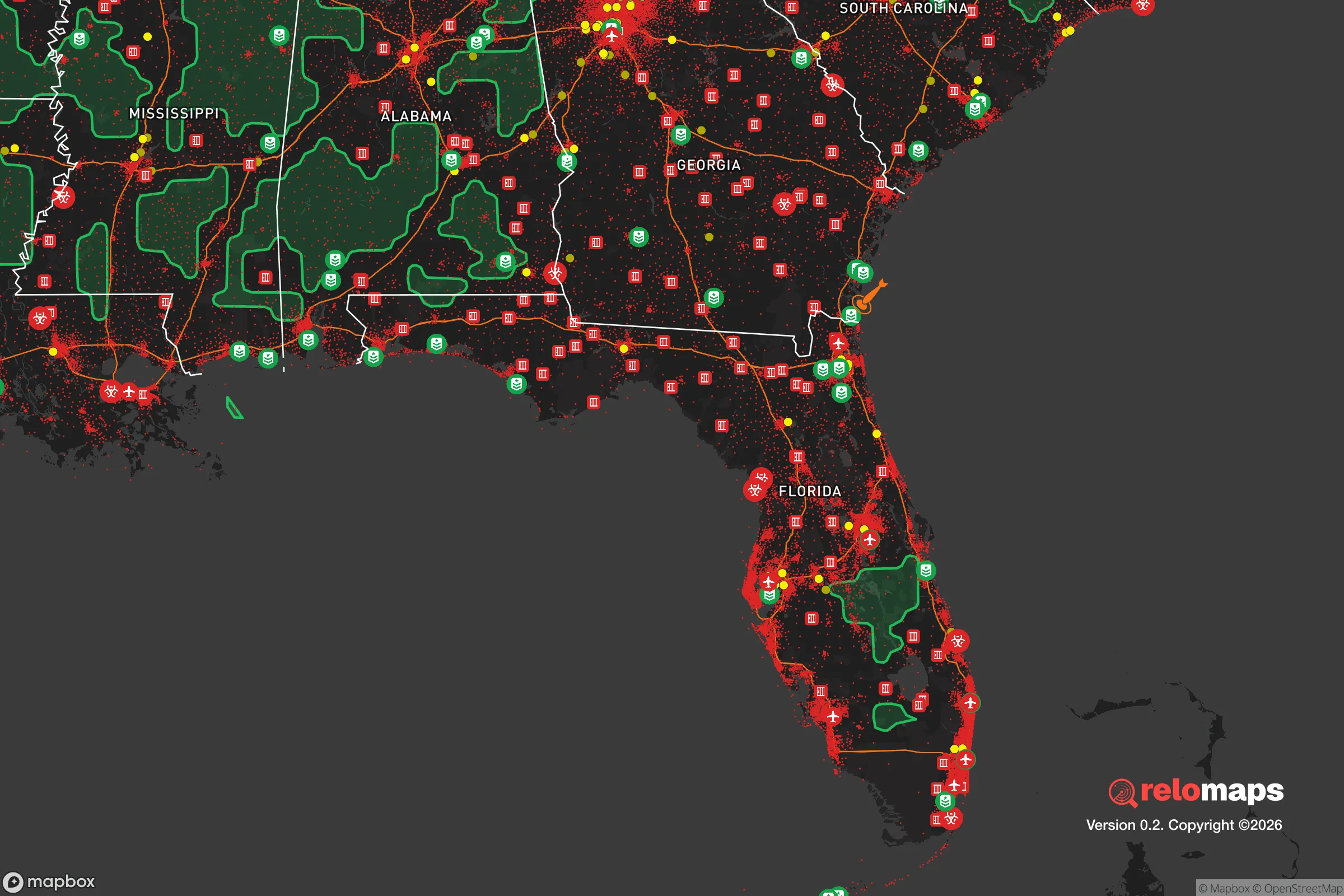
Important Note: For informational purposes only. This does not mean nothing bad ever happens in the green zones. Please use common sense. This is based on public data and modeled with AI. We tried to take a conservative approach but mistakes happen. We update this regularly as new information becomes available.
Solar Generator Recommendations
Backup power matters more here than in safer locations. We've picked three solar generators across budgets and capacity tiers — start with the budget unit if you only need a few essentials, or step up if you want to run a fridge and HVAC for days at a time.

Jackery Portable Power Station Explorer 300
Budget OptionPower on the Go: Weighing only 11 lbs, it's convenient to set up and store with book-sized foldable solar panels

BLUETTI Portable Power Station AC180
Designed for both indoor and outdoor scenarios, AC180 is highly capable as it has a robost capacity and continuous output power.

EF ECOFLOW DELTA Pro Ultra Power Station
Upgraded PickEcoFlow DELTA Pro Ultra is a whole-home energy system designed to grow with your family. Integrated with the Smart Home Panel 2, it scales to meet your evolving energy needs — keeping your home powered, intelligent, and secure through every stage of life.
We earn a commission, at no additional cost to you.
Strategic Assessment Analysis
North Key Largo offers a rare combination of geographic isolation and strategic access that makes it a serious contender for those prioritizing resilience and self-reliance. Located at the northernmost tip of the Florida Keys, this area sits roughly 60 miles south of Miami but feels worlds away, buffered by the Everglades National Park to the west and the Atlantic Ocean to the east. For a relocator concerned with civic unrest, mass casualty events, or systemic collapse, the key advantage here is simple: North Key Largo is a dead-end peninsula with only one road in and one road out, which is both its greatest strength and its most critical vulnerability.
Geographic position and natural advantages for long-term security
The geography of North Key Largo is defined by water and protected wilderness. To the west lies the vast, roadless expanse of Everglades National Park, a natural barrier that prevents any overland approach from the mainland. To the east is the Atlantic Ocean, and to the south, the Florida Keys stretch another 100 miles to Key West. This means the only vehicular access is via U.S. Highway 1, a two-lane road that crosses a series of bridges from the mainland. In a scenario where Miami or South Florida experiences civil unrest, the single choke point at the Jewfish Creek Bridge (MM 106) becomes a natural defensive position. Anyone with a boat or a plane can still reach you, but the vast majority of threats—rioting mobs, looters, or displaced populations—will be funneled through that one bridge. The area also sits on elevated limestone, with natural elevation averaging 5 to 10 feet above sea level, which is significantly higher than most of mainland South Florida. This provides a modest but real advantage against storm surge and sea-level rise, though it is not immune to hurricane flooding.
Risks, exposures, and proximity to fallout-relevant landmarks
The most obvious risk is the same one that makes the location defensible: complete dependence on U.S. Highway 1 for ground resupply and evacuation. If that road is blocked—by a hurricane, a bridge failure, or a deliberate checkpoint—North Key Largo becomes a literal island. The nearest major hospital is Mariners Hospital in Tavernier, about 10 miles south, but trauma care requires a 60-mile drive to Miami. For preppers, this means medical self-sufficiency is non-negotiable. Proximity to fallout-relevant landmarks is a mixed bag. The Turkey Point Nuclear Generating Station sits about 30 miles northwest, on the mainland near Homestead. While not close enough for direct blast or thermal effects from a worst-case event, a radiological release at Turkey Point could contaminate prevailing winds that blow southeast over the Keys. Additionally, the Port of Miami and Miami International Airport are major logistical hubs that could become targets or sources of chaos. The Homestead Air Reserve Base, about 25 miles northwest, is a military installation that could see increased activity or become a focal point during unrest. On the positive side, North Key Largo is far enough from downtown Miami (45+ miles) that you won't be caught in the initial wave of urban panic, but close enough that you can monitor events and make decisions before they reach you.
Practical resilience for a relocator: food, water, energy, and defensibility
Fresh water is the single biggest vulnerability. The Florida Keys have no natural freshwater aquifers; all potable water is piped from the mainland via a 130-mile pipeline that runs under U.S. 1. If that pipeline is compromised—by earthquake, sabotage, or infrastructure failure—you have roughly 48 hours of stored water in local tanks before taps run dry. Serious preppers here install rainwater catchment systems, reverse osmosis units, or maintain large cisterns. The saltwater intrusion is real, so well water is not an option. Food security is better than most of Florida. The surrounding waters offer year-round fishing: snapper, grouper, lobster, and stone crab. Mangrove shorelines provide habitat for crabs and small game. However, hunting is extremely limited due to the protected status of most land. You will not be living off the land alone; stockpiling at least six months of shelf-stable food is the baseline recommendation. Energy is a bright spot. Solar potential is excellent—Florida averages 237 sunny days per year in the Keys. Many homes already have solar panels, and battery storage is becoming standard. The local power grid is vulnerable to hurricanes, so off-grid solar with a generator backup is the norm for serious residents. Defensibility is where North Key Largo shines. The low population density (roughly 10,000 permanent residents in all of Key Largo, with North Key Largo being a fraction of that) means fewer unknowns. The community is tight-knit, and many residents are either retired law enforcement, military veterans, or commercial fishermen—people who are not easily intimidated. The terrain is flat and open along the highway, but the residential areas are tucked into dense tropical hardwood hammocks, providing natural concealment. Neighbors know each other, and a stranger driving down a dead-end road will be noticed quickly.
Overall, North Key Largo presents a strategic paradox: it is one of the most defensible locations in Florida for a small, prepared group, but it is also one of the most fragile in terms of supply lines. If you are a single individual or a family willing to invest in water independence, solar power, and food storage, this area offers a realistic retreat from the chaos of the mainland. The conservative, self-reliant culture is a genuine asset—people here mind their own business but will help a neighbor in need. The trade-off is that you are betting on the bridge staying intact and the pipeline flowing. For those who can accept that risk and prepare accordingly, North Key Largo is a solid choice for long-term resilience in an uncertain future.
* Values derived from national, state, county, city and local statistics and may differ in a specific area. Last updated: 2026-05-14T02:18:34.000Z
Narrative content on this page is AI-generated and may contain mistakes. Verify any details that matter before acting on them.
ReloMaps may earn a commission from affiliate links at no extra cost to you.