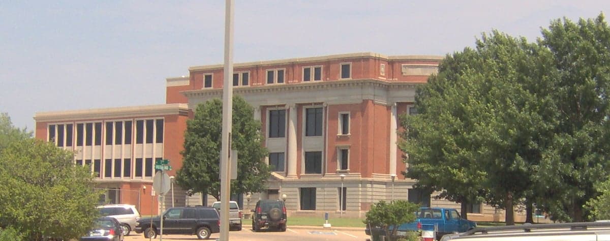
Photo: Wikipedia
Strategic Assessment of Payne County
Workable tactical position. Some exposure to population density or targets, but generally defensible in a crisis.
What does the Strategic Assessment tell us?
Our Strategic Assessment grades tactical survivability of an area. Major population centers, military targets, fallout zones, natural disasters, and border exposure all drive risk — lower exposure means a more defensible position in a crisis.
This is heavily inspired by Joel Skousen's Strategic Relocation book. Highly recommended you checkout the book ($)What does this tell us?
Our Strategic Assessment grades tactical survivability of an area. Major population centers, military targets, fallout zones, natural disasters, and border exposure all drive risk — lower exposure means a more defensible position in a crisis.
This is heavily inspired by Joel Skousen's Strategic Relocation book. Highly recommended you checkout the book ($)Strategic Pillars

Key Distances
Strategic Assessment Analysis
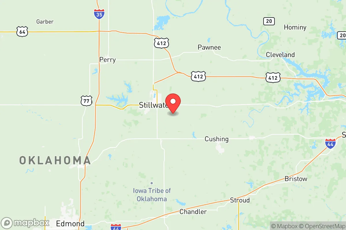
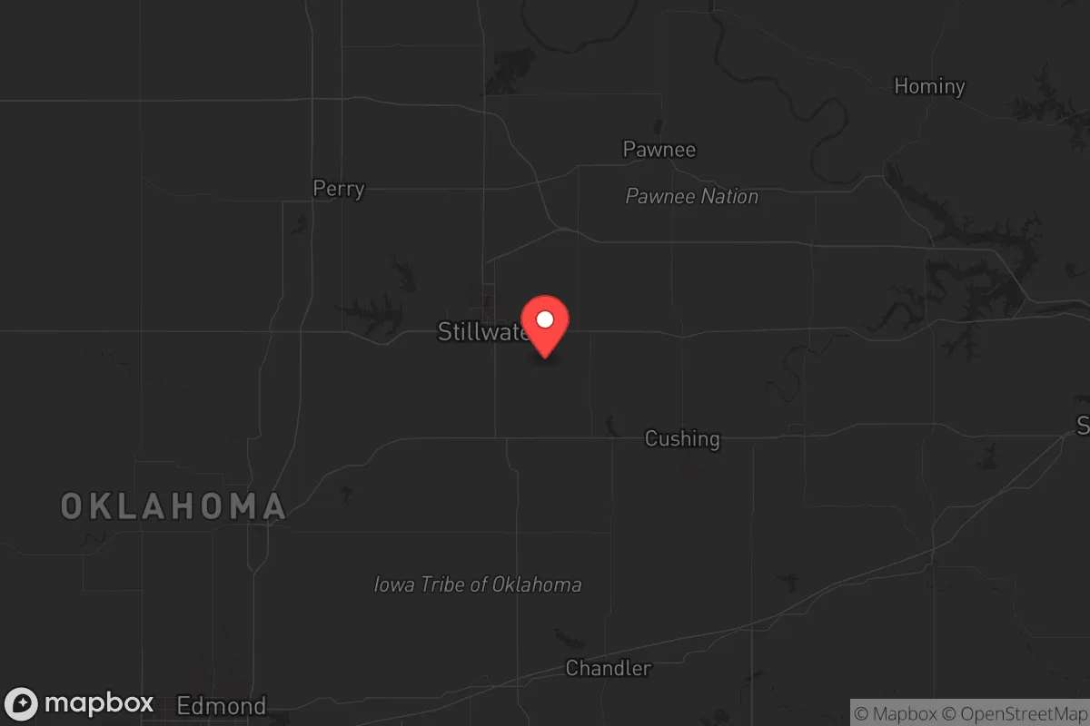
Payne County, anchored by Stillwater, offers a compelling mix of isolation and access that makes it a serious contender for a strategic relocation, especially if you’re thinking about long-term stability and self-reliance. It’s not a flashy choice, but it’s a solid one—sitting far enough from the major fault lines of Oklahoma City and Tulsa to avoid the worst of urban collapse, yet close enough to tap into their resources if needed. The county’s resilience comes from its dual identity: a college town (Oklahoma State University) that provides a buffer of educated, community-minded people, and a rural-agricultural backbone that keeps the land productive and the population spread out. For someone looking to weather civic unrest, supply chain disruptions, or even larger-scale disasters, this area checks a lot of boxes without the hype.
Geographic position and natural advantages for long-term stability
Payne County sits in north-central Oklahoma, roughly 65 miles northeast of Oklahoma City and 70 miles west of Tulsa. That’s a sweet spot—close enough to reach major medical centers or supply hubs in a few hours, but far enough that you’re not in the blast radius of a major metro’s collapse. The terrain is rolling plains and river valleys, with the Cimarron River cutting through the southern part of the county and the Arkansas River forming part of the eastern border. This isn’t mountain country, but it’s not flat, featureless prairie either; the hills and wooded creek bottoms offer decent natural cover and defensible positions for a homestead. The climate is continental, with hot summers and cold winters, but it’s not prone to the extremes that plague other regions—hurricanes, wildfires, or earthquakes are rare. What you do get is reliable rainfall (around 35 inches annually), which supports agriculture and keeps water tables healthy. The county’s position also puts it outside the direct path of most tornado activity that tears through central Oklahoma, though you’ll still get the occasional severe storm. For a prepper, the key advantage is the combination of arable land, accessible water, and a low population density—roughly 83,000 people spread over 697 square miles, with Stillwater (about 50,000) as the only real population center. That leaves plenty of room to breathe and operate.
Risks, exposures, and proximity to fallout-relevant landmarks
No area is without its vulnerabilities, and Payne County has a few you need to factor in. The biggest risk is the proximity to Tinker Air Force Base near Oklahoma City, about 70 miles southwest. Tinker is a major logistics and maintenance hub for the U.S. military, and in a conflict or major national emergency, it’s a high-value target. A strike or even a conventional attack on Tinker would send shockwaves through the region, potentially disrupting power grids, communications, and transportation corridors. Similarly, the Cushing oil storage hub—the largest commercial crude oil storage facility in the world—is about 50 miles east in Payne County’s neighbor, Creek County. If that goes up, you’re looking at a massive environmental and economic disaster that could choke the entire region. On the plus side, Payne County itself has no major military bases, refineries, or ports, which makes it a lower-priority target. The Stillwater Regional Airport is a small general aviation field, not a strategic asset. The real risk is less about direct attack and more about secondary effects: refugees fleeing the chaos of Oklahoma City or Tulsa, supply chain breakdowns, and potential civil unrest if the economy tanks. The county’s rural character helps, but you’re still within a day’s drive of 2 million people in the metro areas, so a collapse there could spill over. Also worth noting: the Lake Carl Blackwell and Lake McMurtry reservoirs are local water sources, but they’re not massive, and a prolonged drought or contamination event could strain supplies.
Practical resilience for a relocator: food, water, energy, and defensibility
For someone serious about self-sufficiency, Payne County delivers on the basics. Water is the first concern, and the county has multiple sources: the Cimarron River, the Arkansas River, and several smaller lakes and creeks. Groundwater is generally good, with the Ogallala Aquifer extending into the western part of the county, though it’s not as deep as in the Panhandle. A well is a smart investment here, and most rural properties have access to decent aquifers. Food production is a strong suit—the county is part of Oklahoma’s wheat belt, and you’ll find plenty of small farms raising cattle, poultry, and row crops. The Stillwater Farmers’ Market is a good indicator of local food culture, and the OSU agricultural extension provides resources for anyone looking to start a garden or small livestock operation. Energy is less of a concern: Oklahoma is a major oil and gas producer, and Payne County has some active wells, but the real advantage is the grid reliability—the area is served by OG&E, which has a decent track record compared to coastal utilities. For off-grid setups, solar is viable (the county gets about 230 sunny days a year), and wind is a bonus if you’ve got the land. Defensibility is where the county shines. The terrain offers natural chokepoints—river crossings, wooded ridges, and narrow county roads that make it hard for large groups to move quickly. The population is spread out, so you’re not dealing with dense neighborhoods where trouble can spread fast. Stillwater itself is a college town, which means a younger, more transient population that might not stick around during a crisis, leaving the core more stable. The Payne County Sheriff’s Office and local police are professional, but in a SHTF scenario, you’re on your own—that’s the reality everywhere. The key is to choose a property with good visibility, multiple escape routes, and access to water.
The overall strategic picture for Payne County is one of balanced resilience. It’s not a fortress, but it’s not a target either. You get the benefits of a functioning small city (Stillwater) with hospitals, schools, and supply chains, while being able to retreat to rural land that can sustain you. The risks are real—proximity to Tinker and Cushing, potential refugee flows, and the usual Oklahoma weather—but they’re manageable with planning. For a conservative-leaning relocator who values community, self-reliance, and a low profile, this is a solid bet. It’s not the end of the world, but it’s a good place to be when the world gets shaky.
* Values derived from national, state, county, city and local statistics and may differ in a specific area. Last updated: 2026-06-01T14:00:58.000Z
Narrative content on this page is AI-generated and may contain mistakes. Verify any details that matter before acting on them.
ReloMaps may earn a commission from affiliate links at no extra cost to you.