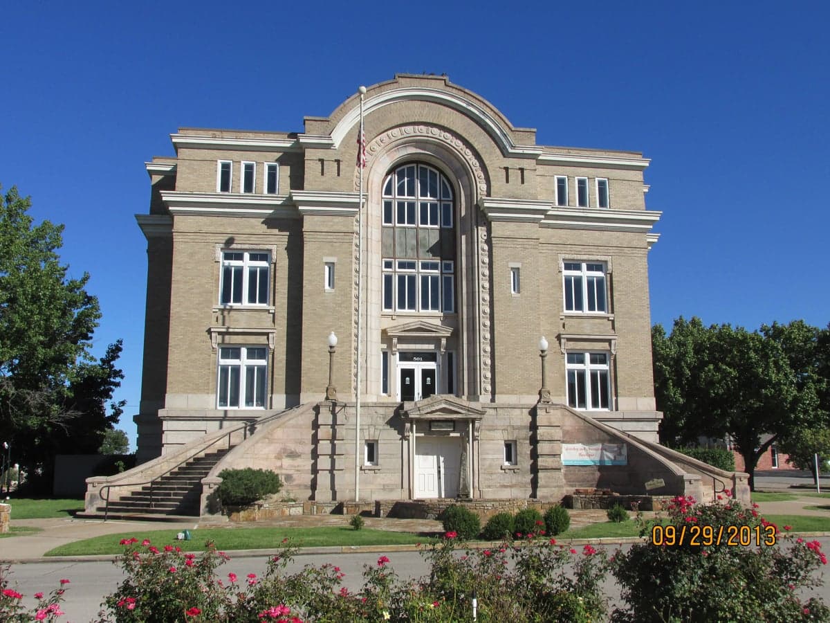
Photo: Wikipedia
Strategic Assessment of Washington County
Workable tactical position. Some exposure to population density or targets, but generally defensible in a crisis.
What does the Strategic Assessment tell us?
Our Strategic Assessment grades tactical survivability of an area. Major population centers, military targets, fallout zones, natural disasters, and border exposure all drive risk — lower exposure means a more defensible position in a crisis.
This is heavily inspired by Joel Skousen's Strategic Relocation book. Highly recommended you checkout the book ($)What does this tell us?
Our Strategic Assessment grades tactical survivability of an area. Major population centers, military targets, fallout zones, natural disasters, and border exposure all drive risk — lower exposure means a more defensible position in a crisis.
This is heavily inspired by Joel Skousen's Strategic Relocation book. Highly recommended you checkout the book ($)Strategic Pillars

Key Distances
Strategic Assessment Analysis
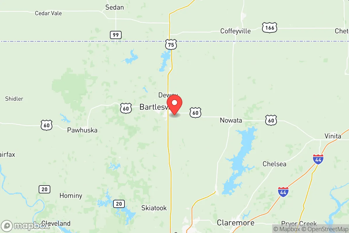
Washington County, Oklahoma offers a compelling strategic position for relocators prioritizing resilience and self-sufficiency, balancing proximity to essential infrastructure with a buffer from major metropolitan vulnerabilities. Anchored by the county seat of Bartlesville, the area sits roughly 45 miles north of Tulsa and 60 miles west of the Missouri border, placing it within a day's drive of multiple regional hubs while maintaining a distinctly rural character. The county's population of roughly 52,000 spreads across small communities like Dewey, Ramona, and Ochelata, providing a low-density footprint that inherently reduces many of the risks associated with urban concentration.
Geographic position and natural advantages for self-sufficiency
Washington County's location in the rolling Osage Plains offers several inherent resilience benefits. The terrain is gently undulating rather than mountainous, which simplifies road access, construction, and potential agricultural use while still providing enough variation for natural drainage and defensible sightlines. The county sits well inland, roughly 350 miles from the Gulf Coast, placing it outside the direct threat zone for hurricane storm surge and the most severe tropical weather impacts that regularly affect Houston's refinery corridor and coastal Texas. Tornado risk is present — the area falls within the traditional "Tornado Alley" — but the county's relatively low population density means that even significant tornado events typically impact limited geographic areas. The Caney River and the Verdigris River watershed provide surface water resources, with Hulah Lake and Copan Lake within 20 miles offering additional water reserves and recreational water access. The underlying geology includes the Cherokee Platform aquifer system, which supports domestic wells in many rural areas, a critical factor for off-grid water planning.
Risks, exposures, and proximity to fallout-relevant landmarks
While Washington County avoids the highest-risk coastal and seismic zones, relocators should understand the specific man-made and natural risks present. The most significant concern is the county's proximity to the Tulsa metropolitan area's industrial corridor, which includes petroleum refineries, chemical processing plants, and the Tulsa Port of Catoosa — the nation's most inland waterway port accessible to the Gulf. A major incident at these facilities could produce hazardous material plumes, though prevailing winds from the south-southwest typically carry such risks away from Washington County. The county itself hosts the Phillips 66 Bartlesville refinery, a mid-sized facility processing roughly 125,000 barrels per day, which represents both a local economic asset and a potential point-source risk for nearby communities. Bartlesville's downtown and the residential areas immediately south and east of the refinery would be most exposed in a worst-case scenario. Military-related risks are minimal; the nearest major installation is Vance Air Force Base in Enid, roughly 90 miles west, well outside any realistic fallout or security concern zone. The county's distance from major nuclear power plants — the closest being Wolf Creek in Kansas, about 150 miles north — and its position away from intercontinental ballistic missile fields in the northern Plains reduce strategic-target risks significantly compared to areas near Cheyenne or Minot.
Practical resilience for a relocator: food, water, energy, and defensibility
For a relocator serious about self-sufficiency, Washington County offers a mix of strong fundamentals and specific limitations. Water availability is favorable: the county averages roughly 38 inches of annual rainfall, sufficient for rain catchment systems, and the shallow alluvial aquifers along the Caney and Verdigris Rivers support reliable well water at depths of 50 to 150 feet in most areas. The Oklahoma Water Resources Board maintains data showing Washington County's groundwater supplies are stable, unlike the declining Ogallala Aquifer in the western part of the state. Food production potential is good: the county's Class II and III soils support row crops, pasture, and orchards, with the growing season averaging 210 days. Local food infrastructure includes the Bartlesville Farmers Market and several CSAs, but year-round food independence would require significant land and investment — typical rural lots under 10 acres are insufficient for full self-sufficiency. Energy resilience is mixed: the grid serving Washington County is part of the Southwest Power Pool, which has experienced rolling blackouts during extreme weather events like Winter Storm Uri in 2021. However, the county's rural character means fewer restrictions on solar panel installation and generator use than in HOAs or incorporated towns. Bartlesville's municipal utility offers net metering, and several local installers serve the area. Defensibility is moderate: the open terrain provides good visibility but limited natural cover, meaning security planning should emphasize perimeter awareness and community networks rather than relying on terrain. The county's low crime rate — violent crime in Bartlesville runs roughly 40% below the national average — suggests strong existing social cohesion, which is arguably the most important resilience factor in a prolonged disruption.
The overall strategic picture for Washington County is one of balanced, moderate resilience with specific actionable advantages. It avoids the extreme risks of coastal zones, major metropolitan centers, and strategic military targets while maintaining access to Tulsa's medical and supply infrastructure within an hour's drive. The county's combination of reliable water resources, agricultural potential, and a stable, low-crime population base makes it a solid choice for the relocator who wants to be prepared without living in a remote bunker. The primary trade-offs are the real but manageable tornado risk and the proximity to the Bartlesville refinery, which requires awareness but not alarm. For the family or individual looking to establish a resilient lifestyle in a community that balances rural self-sufficiency with access to modern amenities, Washington County represents a well-rounded option that deserves serious consideration.

* Values derived from national, state, county, city and local statistics and may differ in a specific area. Last updated: 2026-07-28T21:26:50.000Z
Narrative content on this page is AI-generated and may contain mistakes. Verify any details that matter before acting on them.
ReloMaps may earn a commission from affiliate links at no extra cost to you.

