
Photo: Wikipedia
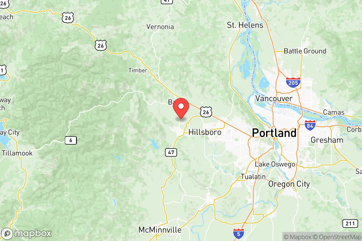
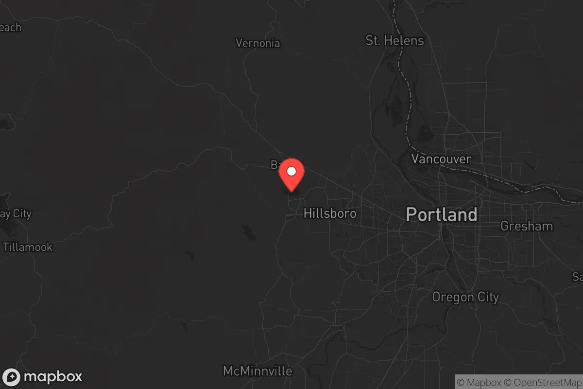
Strategic Assessment of Washington County
Multiple tactical vulnerabilities. Population density, target proximity, or disaster risk are likely compounding. A retreat property and exit planning is required.
What does the Strategic Assessment tell us?
Our Strategic Assessment grades tactical survivability of an area. Major population centers, military targets, fallout zones, natural disasters, and border exposure all drive risk — lower exposure means a more defensible position in a crisis.
This is heavily inspired by Joel Skousen's Strategic Relocation book. Highly recommended you checkout the book ($)What does this tell us?
Our Strategic Assessment grades tactical survivability of an area. Major population centers, military targets, fallout zones, natural disasters, and border exposure all drive risk — lower exposure means a more defensible position in a crisis.
This is heavily inspired by Joel Skousen's Strategic Relocation book. Highly recommended you checkout the book ($)Strategic Pillars

Key Distances
Strategic Assessment Analysis
Washington County, Oregon, sits in a precarious but potentially advantageous position for those prioritizing long-term stability and self-reliance. Its location in the Tualatin Valley, west of Portland and the Willamette River, offers a buffer from the immediate chaos of a major metropolitan collapse while still providing access to critical infrastructure. The county’s economic resilience, driven by a tech-heavy employment base anchored by Intel and other semiconductor firms, creates a unique scenario: a high-value target that also possesses the resources to weather disruption. For a conservative-leaning relocator, the calculus involves weighing the benefits of a robust local economy and natural resources against the risks of being within striking distance of Portland’s urban unrest and potential fallout zones.
Geographic position and natural advantages for long-term stability
Washington County’s geography is its first line of defense. The Tualatin Valley is ringed by the Coast Range to the west and the Chehalem Mountains to the south, providing natural barriers that slow movement and offer defensible terrain. The county’s proximity to the Columbia River Gorge to the east and the Pacific Ocean to the west (via Highway 26) gives residents multiple egress routes if Portland becomes untenable. The area’s temperate climate—with ample rainfall and a long growing season—supports local food production, a critical advantage when supply chains falter. Specific towns like Hillsboro, Beaverton, and Tigard sit on the valley floor, while Forest Grove and Cornelius offer more rural, less dense options. The Tualatin River watershed provides a reliable freshwater source, though it’s not immune to contamination from upstream industrial activity. For a prepper, the key takeaway is that Washington County is not a barren desert or a floodplain; it’s a fertile, defensible pocket with natural resources that can sustain a smaller, organized population.
Risks, exposures, and proximity to fallout-relevant landmarks
The county’s biggest vulnerability is its proximity to Portland—a city that, in a crisis, could become a source of civil unrest, resource competition, and disease. Portland’s Port of Portland and its industrial corridors along the Willamette River are high-value targets for both state and non-state actors. Additionally, the Hillsboro Airport is a major hub for aviation and tech logistics, making it a potential target for disruption. The county also sits near the Portland General Electric power grid and natural gas pipelines that run through the region. While Washington County itself has no nuclear power plants, the Columbia Generating Station (a nuclear plant) is roughly 100 miles east near Richland, Washington—a distance that mitigates direct fallout but still poses a risk in a catastrophic event. The Portland International Airport and the Interstate 5 corridor are chokepoints that could become impassable during a mass evacuation. For a relocator, the risk is not from a direct strike but from being caught in the spillover of Portland’s collapse—looting, refugees, and resource scarcity. The county’s tech infrastructure also makes it a potential target for cyber or EMP attacks aimed at disrupting the semiconductor supply chain.
Practical resilience for a relocator: food, water, energy, and defensibility
For a family or individual serious about self-sufficiency, Washington County offers a mixed bag. Water is abundant from the Tualatin River and numerous smaller creeks, but municipal supplies are vulnerable to contamination and disruption. A well on rural property near Gaston or Scholls is a significant advantage. Food production is viable: the valley’s soil is rich, and farmers’ markets in Hillsboro and Beaverton indicate a local food culture. However, most land is developed or zoned for agriculture, so securing acreage for a garden or livestock requires deliberate effort. Energy is a concern—the grid is reliable but centralized, and solar potential is moderate due to frequent cloud cover. Backup generators and battery storage are wise investments. Defensibility is best in the county’s western and southern edges, where rural roads and forested hills create natural choke points. The Chehalem Mountains and Coast Range foothills offer retreat options, but they also limit visibility and access. The county’s population density (over 600,000 residents) means that in a crisis, urban areas like Aloha and Bethany could become dangerous due to density and lack of defensible space. A relocator should prioritize property with a well, septic, and acreage in the less populated western half of the county, away from the Portland metro sprawl.
The overall strategic picture for Washington County is one of calculated risk. It is not a remote survivalist paradise—it is a suburban and exurban region with significant exposure to Portland’s instability. But for those willing to invest in preparation—secure water, food storage, and a defensible property—it offers a rare combination of economic opportunity, natural resources, and geographic buffers. The county’s conservative-leaning rural pockets (like North Plains and Banks) provide a cultural alignment for those wary of urban progressive politics. The key is to avoid the dense, tech-heavy corridors and instead anchor in the agricultural and forested zones. Washington County is a place to ride out a storm, not to disappear into the wilderness. It requires active preparation, community building, and a clear-eyed understanding that the risks are real but manageable for those who plan ahead.
* Values derived from national, state, county, city and local statistics and may differ in a specific area. Last updated: 2026-05-20T08:20:59.000Z
Narrative content on this page is AI-generated and may contain mistakes. Verify any details that matter before acting on them.
ReloMaps may earn a commission from affiliate links at no extra cost to you.