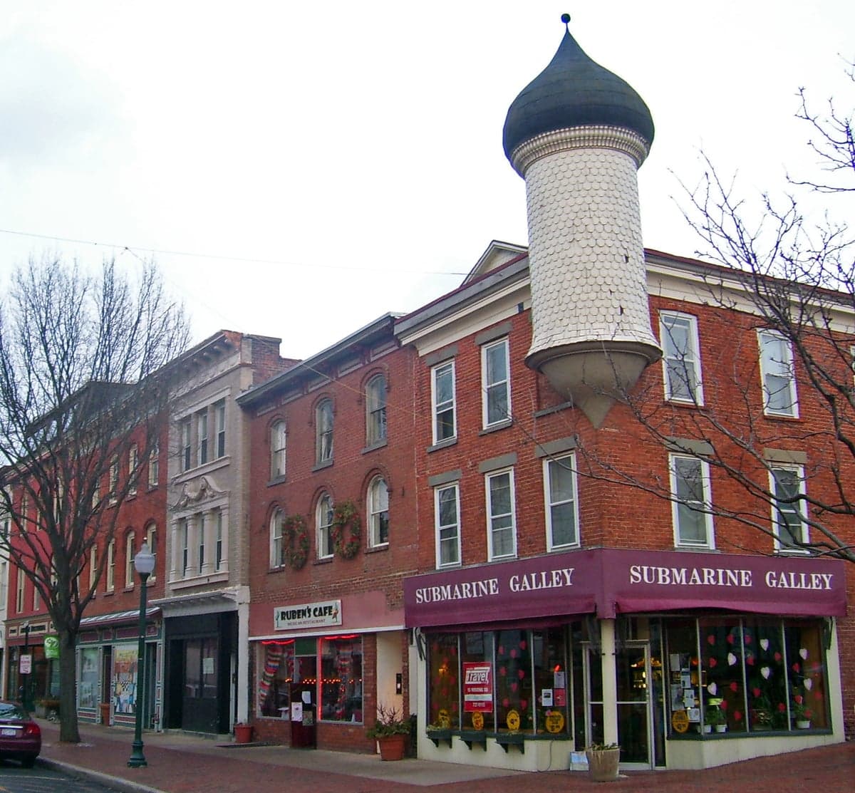
Photo: Wikipedia
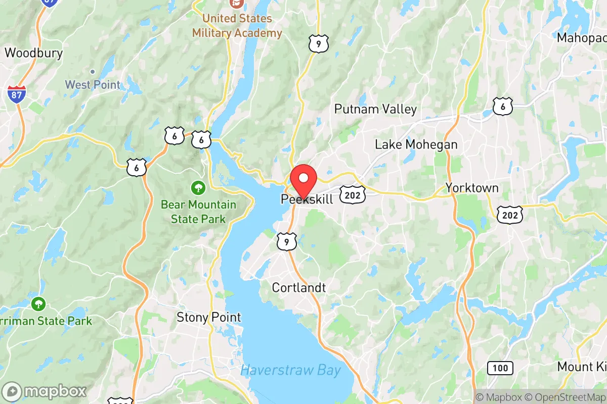
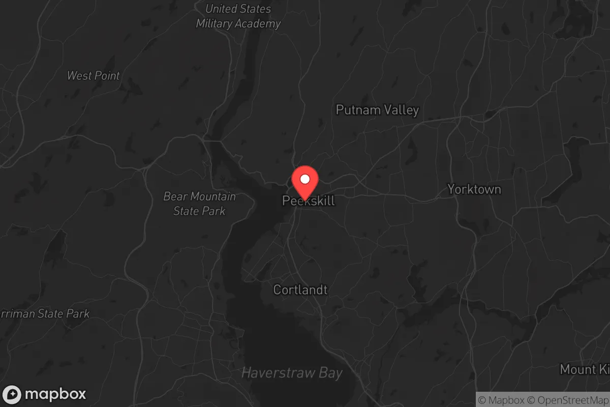
Strategic Assessment of Peekskill, NY
High tactical risk. This location is likely close to major population centers, strategic targets, or sits in a high-disaster corridor. A retreat property and careful exit planning is required.
What does the Strategic Assessment tell us?
Our Strategic Assessment grades tactical survivability of an area. Major population centers, military targets, fallout zones, natural disasters, and border exposure all drive risk — lower exposure means a more defensible position in a crisis.
This is heavily inspired by Joel Skousen's Strategic Relocation book. Highly recommended you checkout the book ($)What does this tell us?
Our Strategic Assessment grades tactical survivability of an area. Major population centers, military targets, fallout zones, natural disasters, and border exposure all drive risk — lower exposure means a more defensible position in a crisis.
This is heavily inspired by Joel Skousen's Strategic Relocation book. Highly recommended you checkout the book ($)Strategic Pillars

Key Distances
Regional Safe Places
Below is our recommended "safe zones" in New York and the surrounding area based on our strategic heuristics. For most people, it's unrealistic to live in a “safe zone” full-time due to work, family or other personal reasons. They tend to be more rural. However, many of these areas are perfect for second homes and retreat properties that double as a vacation home or even a short-term rental.


Important Note: For informational purposes only. This does not mean nothing bad ever happens in the green zones. Please use common sense. This is based on public data and modeled with AI. We tried to take a conservative approach but mistakes happen. We update this regularly as new information becomes available.
Solar Generator Recommendations
Backup power matters more here than in safer locations. We've picked three solar generators across budgets and capacity tiers — start with the budget unit if you only need a few essentials, or step up if you want to run a fridge and HVAC for days at a time.

Jackery Portable Power Station Explorer 300
Budget OptionPower on the Go: Weighing only 11 lbs, it's convenient to set up and store with book-sized foldable solar panels

BLUETTI Portable Power Station AC180
Designed for both indoor and outdoor scenarios, AC180 is highly capable as it has a robost capacity and continuous output power.

EF ECOFLOW DELTA Pro Ultra Power Station
Upgraded PickEcoFlow DELTA Pro Ultra is a whole-home energy system designed to grow with your family. Integrated with the Smart Home Panel 2, it scales to meet your evolving energy needs — keeping your home powered, intelligent, and secure through every stage of life.
We earn a commission, at no additional cost to you.
Strategic Assessment Analysis
Peekskill, New York, sits in a precarious strategic position that demands a hard-eyed assessment from anyone serious about resilience. Its location on the eastern bank of the Hudson River, roughly 40 miles north of Manhattan, offers a mix of natural advantages and glaring vulnerabilities that a prepper or survivalist must weigh carefully. The city’s historic industrial base and working-class character provide a certain ruggedness, but its proximity to the New York City metro area—a prime target for civil unrest, mass casualty events, or infrastructure collapse—cannot be ignored. For a conservative-leaning relocator, Peekskill is a study in trade-offs: it’s close enough to urban resources to be useful, yet close enough to urban chaos to be dangerous.
Geographic position and natural advantages for long-term survival
Peekskill’s geography is its strongest card. The city sits at the foot of the Hudson Highlands, with the Hudson River to the west and the Bear Mountain State Park and Appalachian Trail corridor to the north and east. This terrain offers natural chokepoints and defensible high ground—critical for anyone thinking about retreat or security during a breakdown. The Hudson River itself is a reliable water source, though it requires filtration and treatment. The surrounding forests provide cover, firewood, and game, though deer and small game are the primary options; larger game like bear is present but less reliable. The area’s elevation, ranging from sea level at the river to over 1,000 feet in nearby hills, gives strategic observation points. For a relocator, the ability to monitor movement along the river and major roads like Route 9 and the Taconic State Parkway is a real asset. The climate is four-season, with cold winters that can be harsh but also slow down movement and disease spread—a double-edged sword for a prepper. The proximity to the Hudson River also means potential for water transport, but that’s a vulnerability as much as an advantage, as the river is a natural highway for any threat.
Risks, exposures, and proximity to fallout-relevant landmarks
The downsides are significant and cannot be glossed over. Peekskill is 40 miles from Manhattan, placing it within the blast and fallout zone of any nuclear detonation in the city, as well as within the likely radius of secondary effects like panic-driven evacuation, looting, and refugee flows. The Indian Point Energy Center, a now-decommissioned nuclear power plant, sits just 10 miles south in Buchanan. While decommissioned, the site still holds spent fuel in dry casks—a potential target for sabotage or a long-term contamination risk. The city is also near the Bear Mountain Bridge and the New York State Thruway (I-87), both of which would become chokepoints and targets during any mass evacuation. For a survivalist, the risk of being caught in a human wave fleeing the city is real. The area’s population density is moderate—around 24,000 in Peekskill proper, with Westchester County’s overall density of 2,200 people per square mile—but that density spikes during any crisis as urban refugees pour north. The local police and emergency services are competent but would be overwhelmed in a major event. The city’s infrastructure, including its water treatment plant and power grid, is tied to the larger regional system, meaning a cascading failure from the city could leave Peekskill in the dark and dry.
Practical resilience for a relocator: food, water, energy, and defensibility
For a relocator thinking about day-to-day survival, Peekskill offers a mixed bag. Water is accessible but not secure. The Hudson River is a primary source, but it’s brackish and polluted with industrial runoff, requiring advanced filtration (reverse osmosis or distillation) for safe drinking. The city’s municipal water comes from the Catskill Aqueduct system, which is vulnerable to sabotage or contamination. A prepper should plan for at least two weeks of stored water and a reliable purification method. Food options are limited: the area has some small farms and farmers’ markets, but it’s not agricultural country. The soil is rocky and acidic, making gardening a challenge without raised beds and soil amendments. Local grocery stores are typical suburban chains; in a crisis, they’d empty fast. Hunting and fishing are possible but not sufficient for long-term sustenance. Energy is a bright spot: the Hudson River has potential for micro-hydro, and the area gets decent sun for solar panels, though winter cloud cover reduces output. Wood heating is viable given the forest cover, but a prepper needs a chainsaw and a woodlot. Defensibility is the biggest concern. Peekskill is a compact city with a grid-like street pattern in its core, making it hard to secure. The best bet for a relocator is to buy property on the outskirts—north toward Cortlandt or east into the hills—where you can establish a perimeter. The local gun culture is moderate; New York’s strict firearm laws are a major drawback for a survivalist, requiring permits and limiting magazine capacity. The community itself is mixed: there’s a strong working-class ethic and some veteran presence, but also a significant transient population and drug issues that could become problematic in a breakdown.
The overall strategic picture for Peekskill is one of calculated risk. It’s not a bug-out location for a lone wolf, but it could work for a prepared group with a solid plan. The proximity to New York City is a double-edged sword: it gives access to medical facilities, hardware stores, and trade networks in normal times, but it’s a liability in any large-scale event. For a conservative relocator, the area’s political leanings are mixed—Westchester County leans blue, but Peekskill itself has a more independent, blue-collar streak that might be more tolerant of prepper activities. The real question is whether the natural advantages of the Hudson Highlands outweigh the risks of being so close to a major target. For someone willing to invest in water filtration, solar power, and a defensible property on the city’s fringe, Peekskill could be a viable base. But for anyone looking for a true retreat—far from population centers, with abundant land and water—this isn’t it. It’s a compromise, and in the world of strategic relocation, compromises can get you killed if you don’t plan for them. If you’re serious, treat Peekskill as a staging area, not a final destination, and have a secondary plan for moving deeper into the Catskills or Adirondacks if the situation deteriorates.
* Values derived from national, state, county, city and local statistics and may differ in a specific area. Last updated: 2026-05-01T04:31:12.000Z
Narrative content on this page is AI-generated and may contain mistakes. Verify any details that matter before acting on them.
ReloMaps may earn a commission from affiliate links at no extra cost to you.