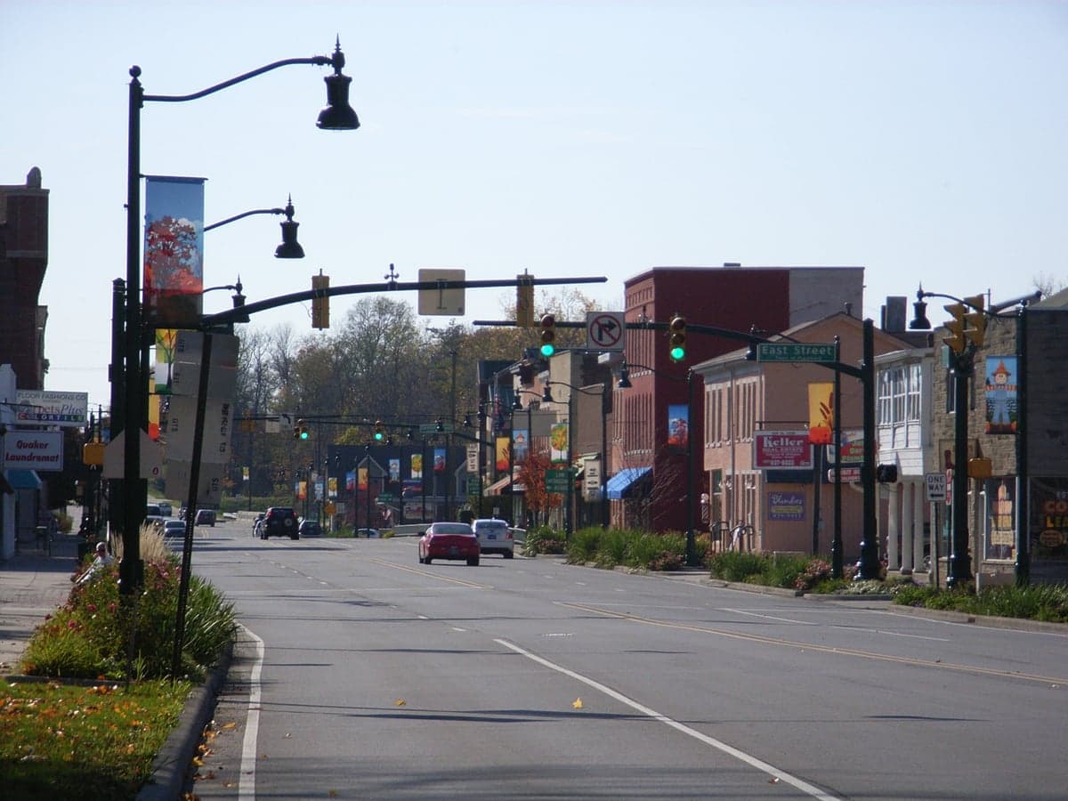
Photo: Wikipedia
Strategic Assessment of Plainfield, IN
Multiple tactical vulnerabilities. Population density, target proximity, or disaster risk are likely compounding. A retreat property and exit planning is required.
What does the Strategic Assessment tell us?
Our Strategic Assessment grades tactical survivability of an area. Major population centers, military targets, fallout zones, natural disasters, and border exposure all drive risk — lower exposure means a more defensible position in a crisis.
This is heavily inspired by Joel Skousen's Strategic Relocation book. Highly recommended you checkout the book ($)What does this tell us?
Our Strategic Assessment grades tactical survivability of an area. Major population centers, military targets, fallout zones, natural disasters, and border exposure all drive risk — lower exposure means a more defensible position in a crisis.
This is heavily inspired by Joel Skousen's Strategic Relocation book. Highly recommended you checkout the book ($)Strategic Pillars

Key Distances
Regional Safe Places
Below is our recommended "safe zones" in Indiana and the surrounding area based on our strategic heuristics. For most people, it's unrealistic to live in a “safe zone” full-time due to work, family or other personal reasons. They tend to be more rural. However, many of these areas are perfect for second homes and retreat properties that double as a vacation home or even a short-term rental.

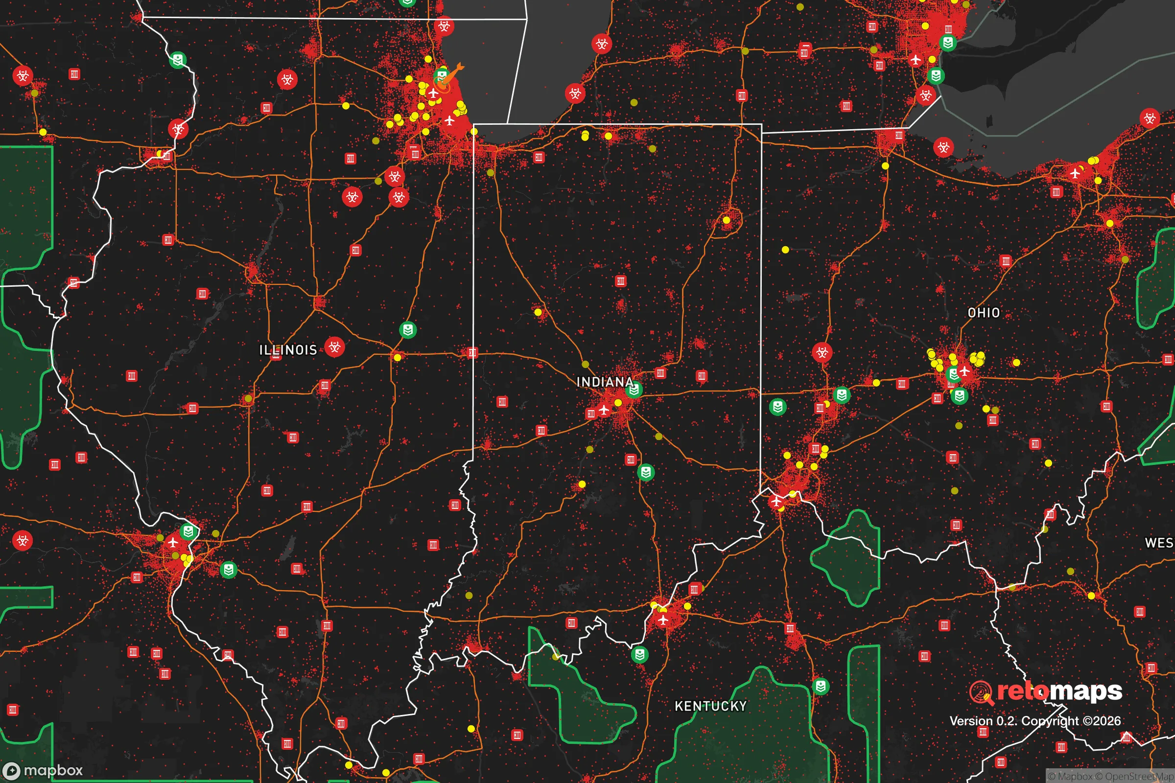
Important Note: For informational purposes only. This does not mean nothing bad ever happens in the green zones. Please use common sense. This is based on public data and modeled with AI. We tried to take a conservative approach but mistakes happen. We update this regularly as new information becomes available.
Solar Generator Recommendations
Backup power matters more here than in safer locations. We've picked three solar generators across budgets and capacity tiers — start with the budget unit if you only need a few essentials, or step up if you want to run a fridge and HVAC for days at a time.

Jackery Portable Power Station Explorer 300
Budget OptionPower on the Go: Weighing only 11 lbs, it's convenient to set up and store with book-sized foldable solar panels

BLUETTI Portable Power Station AC180
Designed for both indoor and outdoor scenarios, AC180 is highly capable as it has a robost capacity and continuous output power.

EF ECOFLOW DELTA Pro Ultra Power Station
Upgraded PickEcoFlow DELTA Pro Ultra is a whole-home energy system designed to grow with your family. Integrated with the Smart Home Panel 2, it scales to meet your evolving energy needs — keeping your home powered, intelligent, and secure through every stage of life.
We earn a commission, at no additional cost to you.
Strategic Assessment Analysis
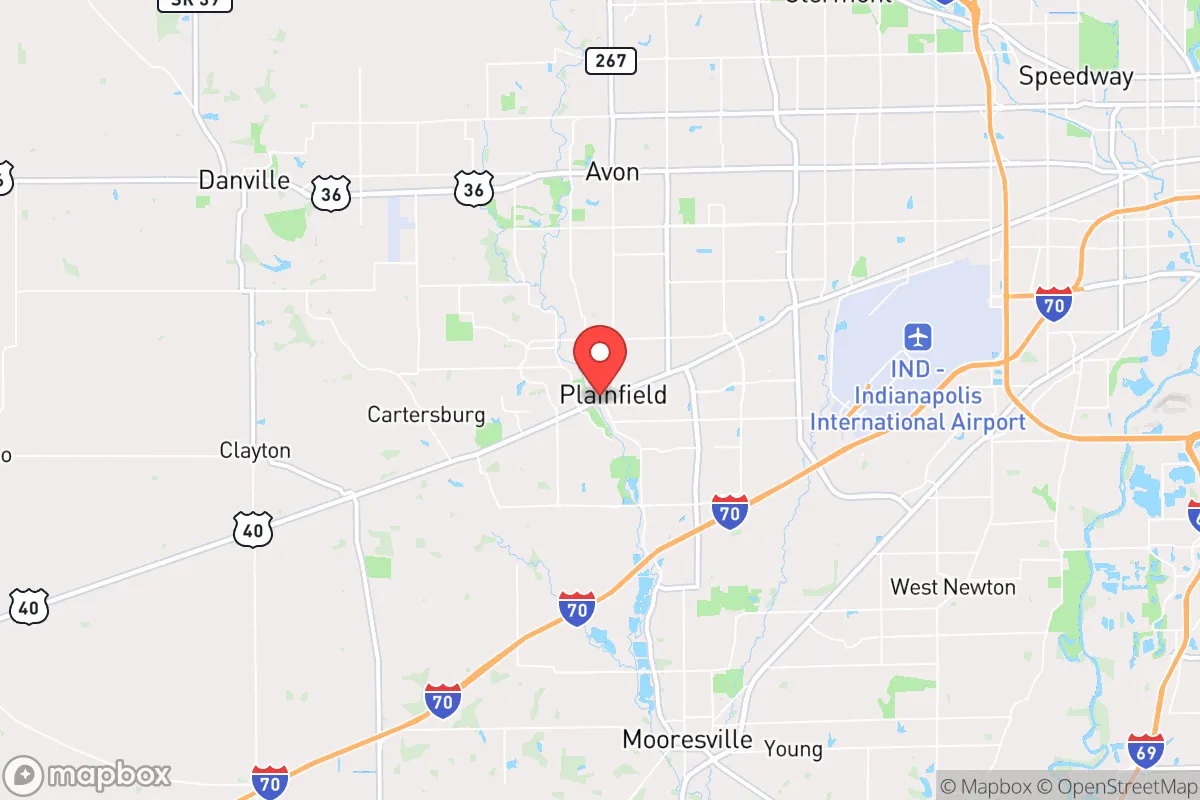
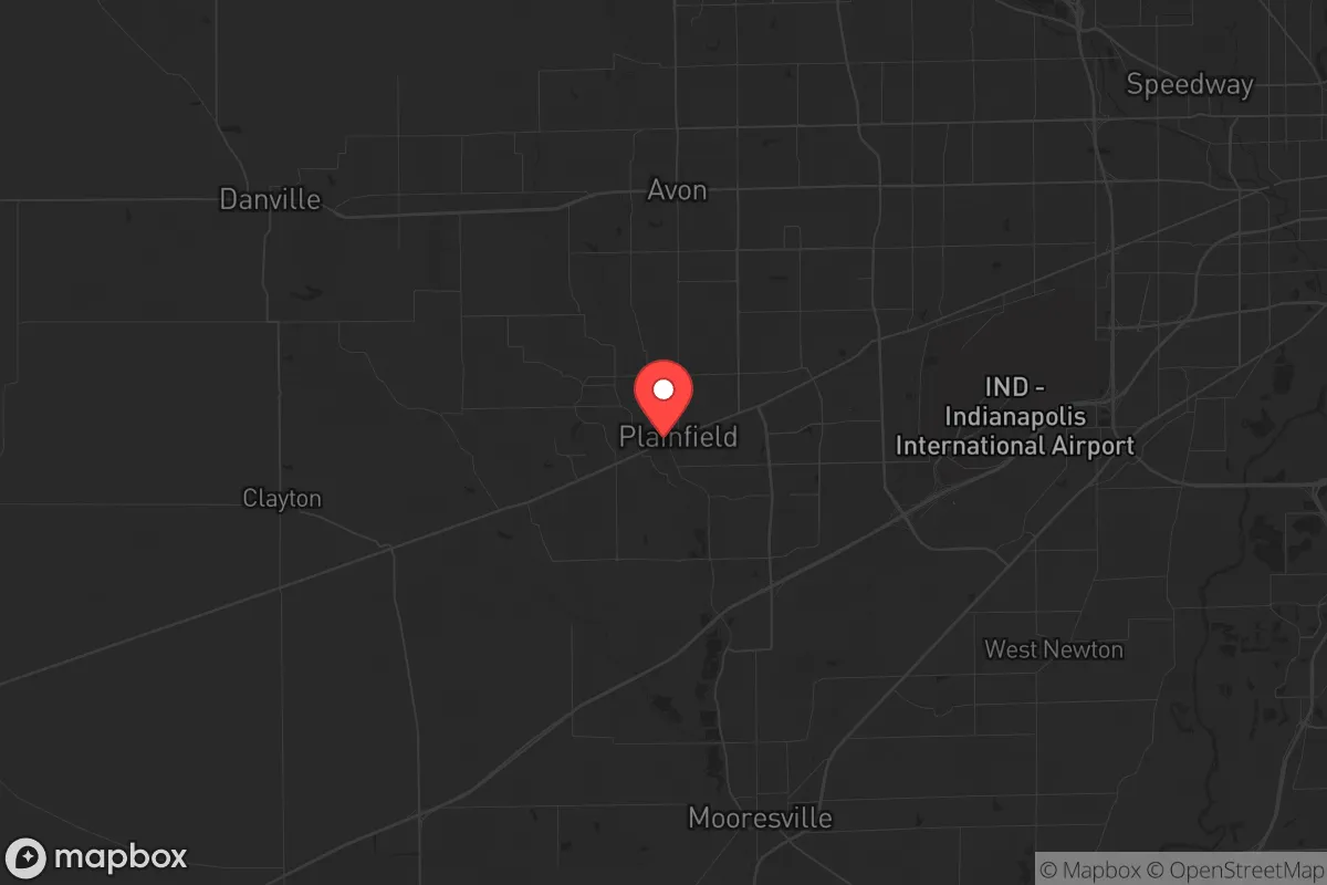
Plainfield, Indiana, sits in a deceptive sweet spot for strategic relocation: close enough to Indianapolis to access resources, yet far enough to avoid the worst of urban collapse scenarios. With a population hovering around 35,000 and steady growth driven by logistics and warehousing, this Hendricks County town offers a practical base for those prioritizing self-reliance without total isolation. Its position along I-70 and near the Indianapolis International Airport provides both mobility and a potential chokepoint, but the real question for a survival-minded relocator is whether its advantages outweigh the risks of being within the fallout shadow of a major city.
Geographic position and natural advantages for long-term stability
Plainfield’s location in west-central Indiana places it on the edge of the Indianapolis metropolitan area, roughly 20 miles from downtown. This buffer zone is critical: it’s far enough to avoid the immediate chaos of a city-wide grid failure or civil unrest, yet close enough to tap into regional supply chains, medical facilities, and transportation hubs. The area sits on relatively flat, fertile ground typical of the Tipton Till Plain, which means decent soil for small-scale agriculture and ample groundwater access via wells. The nearby White River and several smaller creeks—like Mill Creek and the East Fork of the White River—offer surface water sources, though they require treatment. The climate is four-season, with cold winters that can be a natural deterrent to transient populations, and summers that support gardening. The lack of major geological threats—no earthquakes, no hurricanes, no wildfires—makes it a low-risk zone for natural disasters, which is a baseline advantage for any long-term setup.
Risks, exposures, and proximity to fallout-relevant landmarks
The biggest strategic liability is proximity to Indianapolis, a city of nearly 900,000 that would become a focal point for unrest, resource competition, and disease spread in a national crisis. Plainfield lies directly along I-70, a major east-west corridor that would likely be clogged with refugees or military traffic during an evacuation. The Indianapolis International Airport, just 10 miles east, is a dual-edged asset: it’s a potential evacuation point but also a target for aerial threats or mass casualty events. More concerning is the presence of the Plainfield Correctional Facility and the nearby Putnamville Correctional Facility—both state prisons that could become unmanageable during a breakdown, potentially releasing inmates into the surrounding area. The town also sits within 50 miles of the Newport Chemical Depot (now mostly decommissioned but still a hazardous site) and the Crane Naval Surface Warfare Center, which handles munitions and explosives. While not immediate fallout zones, these facilities represent secondary risks if civil order collapses. The area’s flat terrain offers little natural defensibility—no hills, forests, or chokepoints to slow an approaching threat—meaning a relocator would need to rely on man-made barriers and community networks.
Practical resilience for a relocator: food, water, energy, and defensibility
For a prepper or survivalist, Plainfield’s practical resilience is a mixed bag. Water is the strongest asset: the town’s municipal supply comes from groundwater wells, and most residential areas are shallow enough for private well drilling. The White River and local creeks provide backup, but you’ll need filtration or boiling capacity—standard for any Midwest location. Food security is moderate. The surrounding Hendricks County is agricultural, with corn and soybean fields dominating, but direct access to small farms and livestock operations is limited within town limits. Farmers markets exist, but for long-term self-sufficiency, you’d want acreage outside the suburban sprawl. Energy reliability is decent: Duke Energy serves the area, and grid outages are rare but possible during ice storms. Solar panels are viable, though the region’s cloud cover in winter reduces output. Natural gas is widely available, which is a plus for heating and cooking off-grid. Defensibility is the weak point. Plainfield is a typical suburban layout—cul-de-sacs, strip malls, and subdivisions—which makes it hard to secure a perimeter. The best bet is a property on the western edge, near the county line, where lots are larger and neighbors are fewer. Community-wise, Hendricks County leans conservative, with a strong church presence and a volunteer fire department culture, which can translate into mutual aid networks if you invest in local relationships. The town’s police force is competent but small; in a crisis, you’d be on your own for the first 72 hours at least.
The overall strategic picture for Plainfield is one of calculated trade-offs. It’s not a remote bunker location, nor is it a high-risk urban core. For a relocator who values access to infrastructure—hospitals, supply routes, and a stable tax base—while maintaining a low profile, it works. The proximity to Indianapolis is a double-edged sword: it provides resources in normal times but becomes a liability in collapse. The lack of natural barriers and the presence of correctional facilities are real concerns that require active mitigation, like hardening a home, stockpiling supplies, and building a trusted local network. If you’re looking for a place to ride out a moderate crisis—economic downturn, localized unrest, or a pandemic—Plainfield offers a solid foundation. For a full societal breakdown, you’d want to be further west, toward the Illinois border or deeper into rural Indiana. But for a strategic relocation that balances preparedness with daily life, this town deserves a serious look.
* Values derived from national, state, county, city and local statistics and may differ in a specific area. Last updated: 2026-04-19T10:28:43.000Z
Narrative content on this page is AI-generated and may contain mistakes. Verify any details that matter before acting on them.
ReloMaps may earn a commission from affiliate links at no extra cost to you.