Photo: Wikipedia
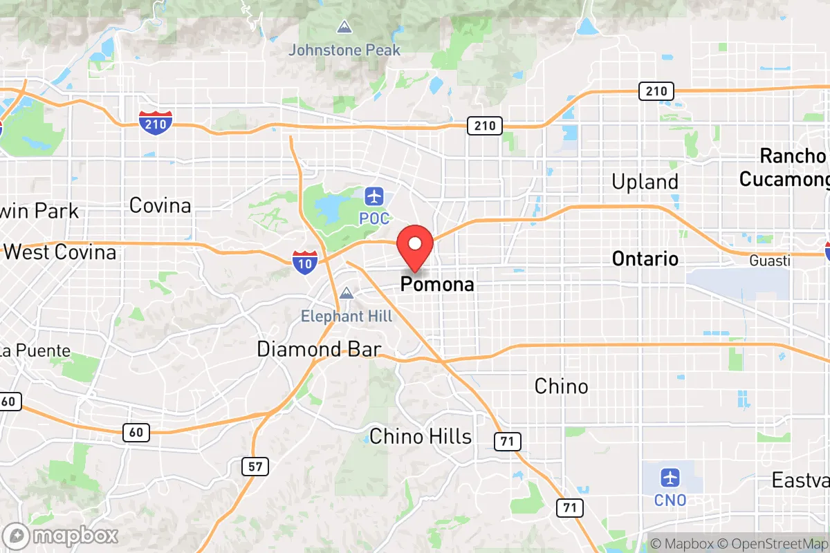
Strategic Assessment of Pomona, CA
Multiple tactical vulnerabilities. Population density, target proximity, or disaster risk are likely compounding. A retreat property and exit planning is required.
What does the Strategic Assessment tell us?
Our Strategic Assessment grades tactical survivability of an area. Major population centers, military targets, fallout zones, natural disasters, and border exposure all drive risk — lower exposure means a more defensible position in a crisis.
This is heavily inspired by Joel Skousen's Strategic Relocation book. Highly recommended you checkout the book ($)What does this tell us?
Our Strategic Assessment grades tactical survivability of an area. Major population centers, military targets, fallout zones, natural disasters, and border exposure all drive risk — lower exposure means a more defensible position in a crisis.
This is heavily inspired by Joel Skousen's Strategic Relocation book. Highly recommended you checkout the book ($)Strategic Pillars

Key Distances
Regional Safe Places
Below is our recommended "safe zones" in California and the surrounding area based on our strategic heuristics. For most people, it's unrealistic to live in a “safe zone” full-time due to work, family or other personal reasons. They tend to be more rural. However, many of these areas are perfect for second homes and retreat properties that double as a vacation home or even a short-term rental.


Important Note: For informational purposes only. This does not mean nothing bad ever happens in the green zones. Please use common sense. This is based on public data and modeled with AI. We tried to take a conservative approach but mistakes happen. We update this regularly as new information becomes available.
Solar Generator Recommendations
Backup power matters more here than in safer locations. We've picked three solar generators across budgets and capacity tiers — start with the budget unit if you only need a few essentials, or step up if you want to run a fridge and HVAC for days at a time.

Jackery Portable Power Station Explorer 300
Budget OptionPower on the Go: Weighing only 11 lbs, it's convenient to set up and store with book-sized foldable solar panels

BLUETTI Portable Power Station AC180
Designed for both indoor and outdoor scenarios, AC180 is highly capable as it has a robost capacity and continuous output power.

EF ECOFLOW DELTA Pro Ultra Power Station
Upgraded PickEcoFlow DELTA Pro Ultra is a whole-home energy system designed to grow with your family. Integrated with the Smart Home Panel 2, it scales to meet your evolving energy needs — keeping your home powered, intelligent, and secure through every stage of life.
We earn a commission, at no additional cost to you.
Strategic Assessment Analysis
Pomona, California, sits at a strategic crossroads that demands a hard-nosed assessment from a preparedness standpoint. Its location at the junction of the 10, 57, and 71 freeways offers both a mobility advantage and a significant vulnerability, as these arteries can become choke points during a crisis. For the conservative prepper, Pomona presents a mixed picture: it offers proximity to diverse resources and escape routes, but its position in the heart of the Los Angeles basin places it squarely in the path of cascading failures from a major urban collapse, natural disaster, or civil unrest event.
Geographic position and natural advantages for a survival scenario
Pomona’s geography is a double-edged sword. On the plus side, it sits at the eastern edge of the San Gabriel Valley, with the San Gabriel Mountains to the north and the Chino Hills to the south. This provides potential egress routes into less populated areas—north toward the Angeles National Forest or south toward the Inland Empire and desert regions. The area’s Mediterranean climate means year-round outdoor activity is feasible, and the growing season is long, which is a plus for anyone serious about food production. The nearby San Antonio and San Gabriel rivers, while often dry, offer potential water collection points after rain events. However, the region’s natural advantages are undercut by its urban density. Pomona itself is a city of roughly 150,000 people, and it’s surrounded by a sprawling metro area of over 18 million. True defensible space is virtually nonexistent within city limits, and the mountains, while offering escape, are also fire-prone and can be cut off by wildfires or landslides. The flat valley floor offers little in the way of natural cover or concealment.
Risks, exposures, and proximity to fallout-relevant landmarks
This is where the analysis gets serious. Pomona’s biggest strategic weakness is its proximity to high-value, high-risk targets. The city is roughly 25 miles east of downtown Los Angeles, a primary target for any large-scale attack or civil unrest. It’s also within a 30-mile radius of the Port of Los Angeles and Long Beach, the nation’s busiest port complex and a critical chokepoint for global trade. A disruption there would ripple through Pomona’s supply chains within days. Furthermore, the area is dotted with rail yards, fuel pipelines, and electrical substations that are vulnerable to sabotage or EMP effects. The San Onofre Nuclear Generating Station (SONGS), though decommissioned, is about 60 miles south, and while not an active threat, its spent fuel pools remain a concern. On the natural disaster front, Pomona sits in a seismically active zone. The San Andreas Fault is roughly 40 miles northeast, and a major rupture could cause widespread infrastructure failure, including water and power outages lasting weeks. Wildfire risk is high, especially in the foothills and canyons to the north, and the city’s location in a valley can trap smoke and particulates, creating a secondary health hazard. For the prepper, the key takeaway is that Pomona is not a bug-out location; it’s a location from which you may need to bug out quickly.
Practical resilience for a relocator: food, water, energy, and defensibility
Let’s get practical. For a single individual or family looking to establish a resilient foothold, Pomona presents serious challenges. Water is the number one concern. The city relies on imported water from the State Water Project and the Colorado River, both of which are vulnerable to earthquake disruption, drought, and infrastructure failure. A well is not a realistic option for most urban lots, so rainwater catchment and storage become critical. A 55-gallon drum per person for a two-week supply is a bare minimum, and you’ll need a plan for filtration and purification. Food security is equally tough. While there are community gardens and farmers’ markets, the city’s dense zoning makes large-scale gardening difficult. A suburban home with a backyard is a major asset, but you’ll need to invest in raised beds, soil amendments, and season extension techniques to get meaningful yields. Energy resilience is more achievable. Solar panels with battery storage are a viable investment, and many homes have the roof space for a 5-10 kW system. Natural gas is common for heating and cooking, but a propane backup is wise. Defensibility is the hardest factor. Pomona has a higher crime rate than the national average, and during a crisis, the city’s density could lead to rapid social breakdown. Overt security measures—like barred windows, reinforced doors, and a visible security system—are necessary, but they also mark you as a target. A low-profile approach, with a focus on community networking and mutual aid with like-minded neighbors, is more sustainable than going full fortress. The best strategy is to have a well-stocked vehicle ready to relocate to a more defensible rural property if the situation deteriorates.
The overall strategic picture for Pomona is one of calculated risk. It is not a prepper’s paradise, nor is it a hopeless case. For a conservative relocator who values proximity to job markets and urban amenities but is serious about preparedness, Pomona demands a high level of proactive effort. You must invest in water storage, energy independence, and a robust security plan. You must have a clear bug-out route and a destination in mind. The city’s location offers access to diverse resources and escape corridors, but its density, crime, and proximity to major targets mean that the margin for error is thin. If you are willing to put in the work and maintain a low profile, Pomona can be a viable base of operations—but only if you treat it as a temporary staging ground, not a final redoubt. For those seeking a truly resilient long-term location, the rural areas of the Inland Empire or the Sierra Nevada foothills offer a far more sustainable option.
* Values derived from national, state, county, city and local statistics and may differ in a specific area. Last updated: 2026-04-24T05:06:47.000Z
Narrative content on this page is AI-generated and may contain mistakes. Verify any details that matter before acting on them.
ReloMaps may earn a commission from affiliate links at no extra cost to you.