Photo: Wikipedia
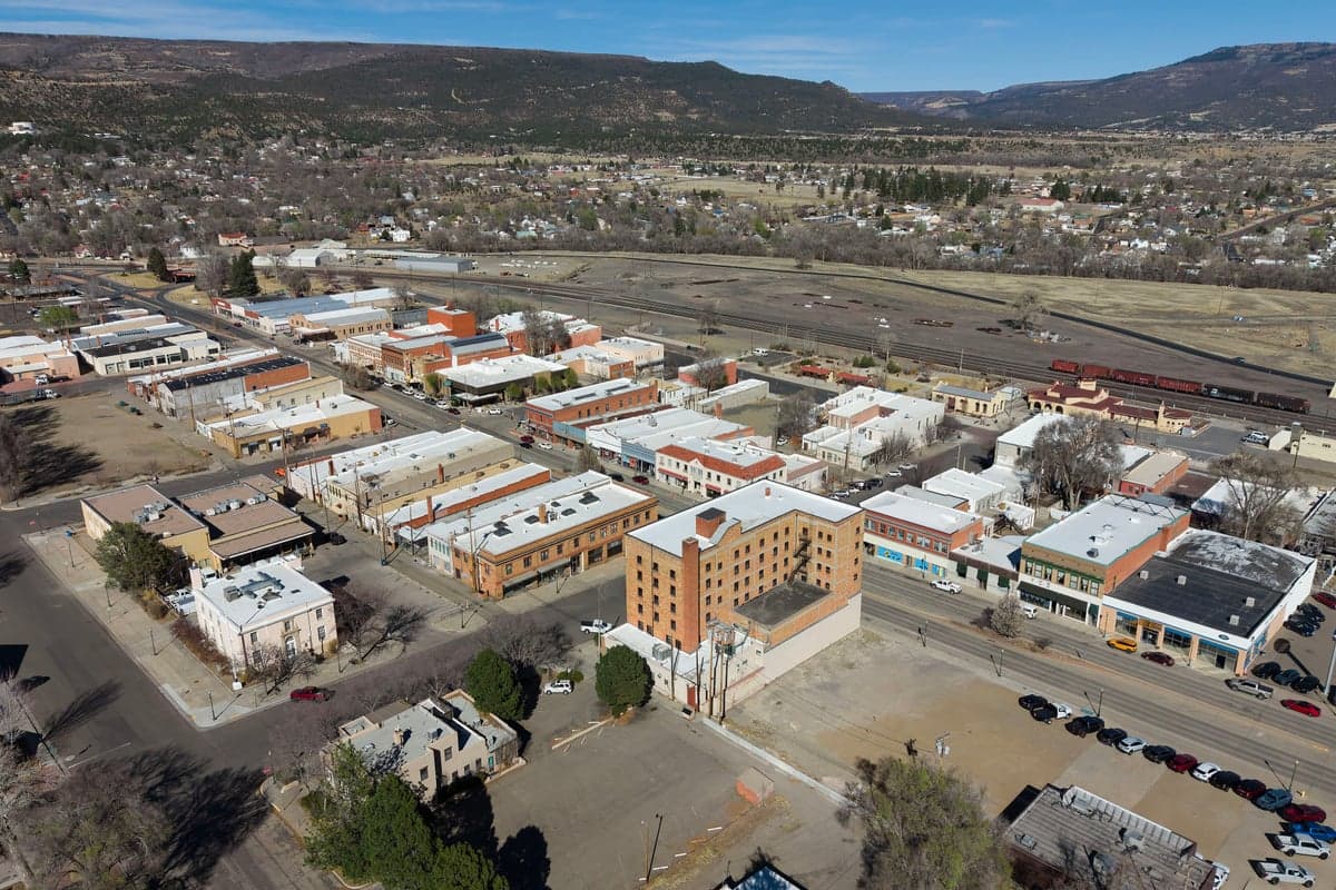
Strategic Assessment of Raton, NM
Workable tactical position. Some exposure to population density or targets, but generally defensible in a crisis.
What does the Strategic Assessment tell us?
Our Strategic Assessment grades tactical survivability of an area. Major population centers, military targets, fallout zones, natural disasters, and border exposure all drive risk — lower exposure means a more defensible position in a crisis.
This is heavily inspired by Joel Skousen's Strategic Relocation book. Highly recommended you checkout the book ($)What does this tell us?
Our Strategic Assessment grades tactical survivability of an area. Major population centers, military targets, fallout zones, natural disasters, and border exposure all drive risk — lower exposure means a more defensible position in a crisis.
This is heavily inspired by Joel Skousen's Strategic Relocation book. Highly recommended you checkout the book ($)Strategic Pillars

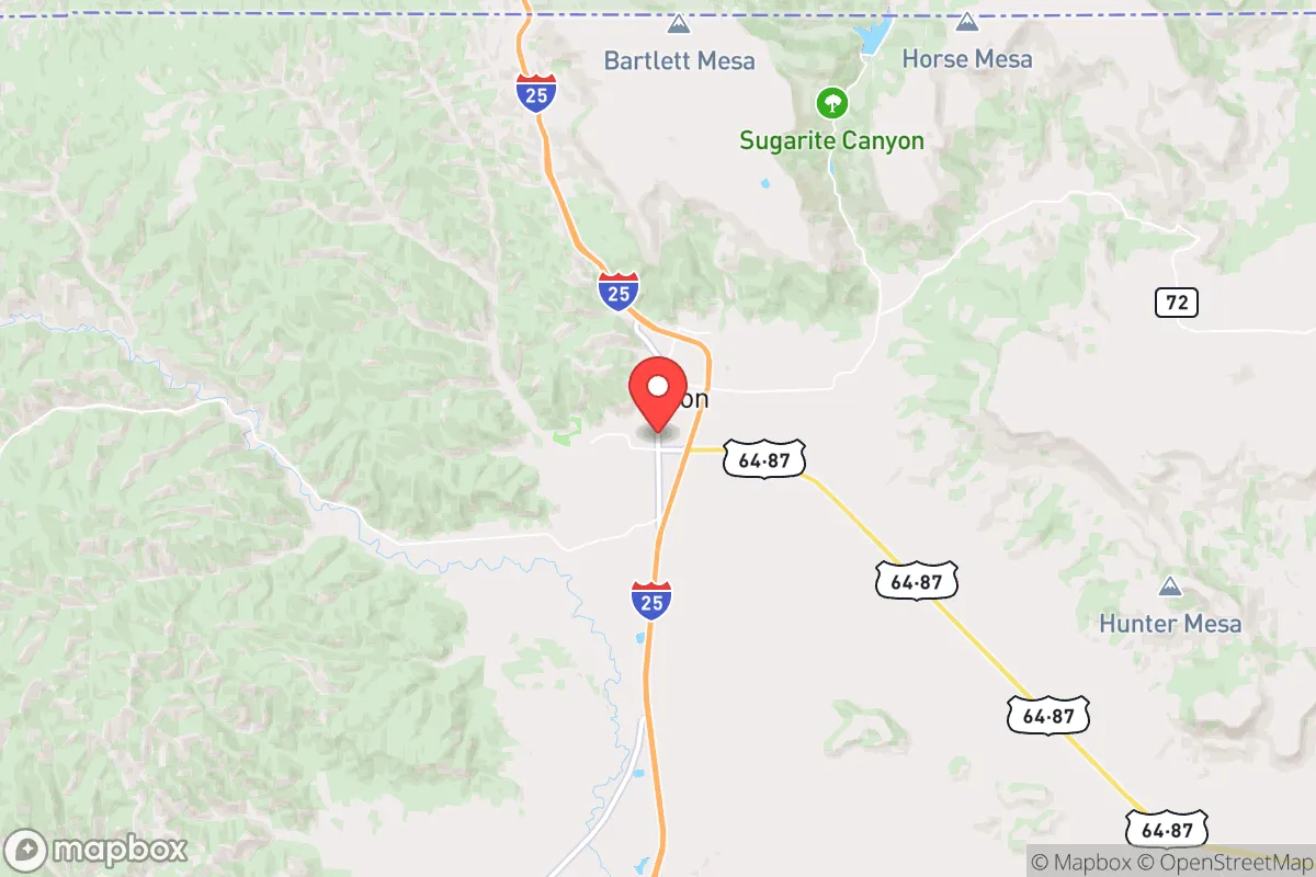
Key Distances
Regional Safe Places
Below is our recommended "safe zones" in New Mexico and the surrounding area based on our strategic heuristics. For most people, it's unrealistic to live in a “safe zone” full-time due to work, family or other personal reasons. They tend to be more rural. However, many of these areas are perfect for second homes and retreat properties that double as a vacation home or even a short-term rental.

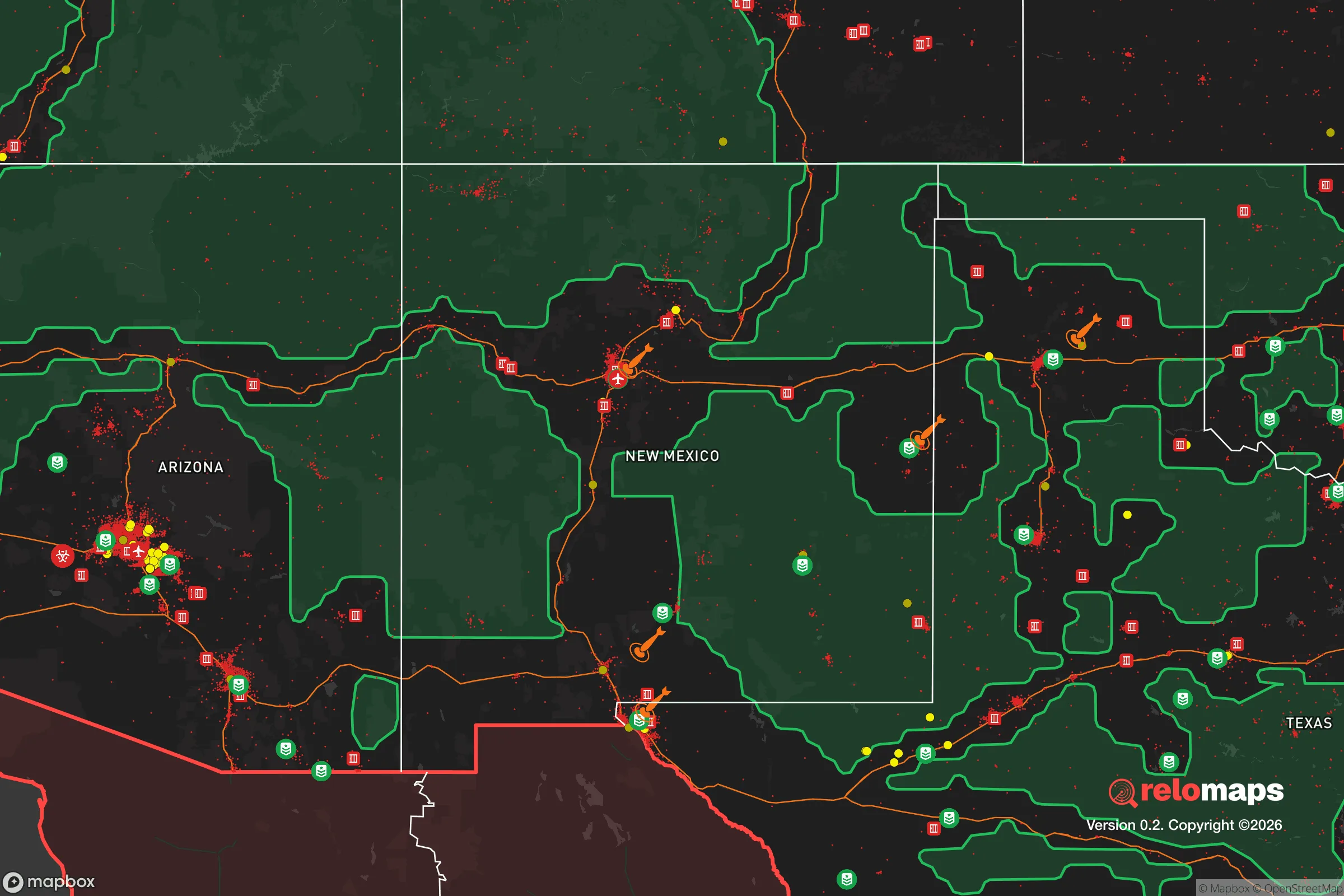
Important Note: For informational purposes only. This does not mean nothing bad ever happens in the green zones. Please use common sense. This is based on public data and modeled with AI. We tried to take a conservative approach but mistakes happen. We update this regularly as new information becomes available.
Solar Generator Recommendations
Backup power matters more here than in safer locations. We've picked three solar generators across budgets and capacity tiers — start with the budget unit if you only need a few essentials, or step up if you want to run a fridge and HVAC for days at a time.

Jackery Portable Power Station Explorer 300
Budget OptionPower on the Go: Weighing only 11 lbs, it's convenient to set up and store with book-sized foldable solar panels

BLUETTI Portable Power Station AC180
Designed for both indoor and outdoor scenarios, AC180 is highly capable as it has a robost capacity and continuous output power.

EF ECOFLOW DELTA Pro Ultra Power Station
Upgraded PickEcoFlow DELTA Pro Ultra is a whole-home energy system designed to grow with your family. Integrated with the Smart Home Panel 2, it scales to meet your evolving energy needs — keeping your home powered, intelligent, and secure through every stage of life.
We earn a commission, at no additional cost to you.
Strategic Assessment Analysis
Raton, New Mexico, sits as a quiet outlier in a state often defined by its liberal strongholds and federal dependency, offering a strategic position that rewards the prepared. Its location at the northeastern edge of the state, hard against the Colorado border and straddling I-25, gives it a resilience profile that's hard to match in the Southwest—far enough from major population centers to avoid the worst of civic unrest, yet connected enough to move if needed. For the conservative relocator thinking in terms of decades, not just the next election cycle, Raton presents a rare combination of geographic isolation, natural resource access, and a built environment that can be made defensible with moderate effort.
Geographic position and natural advantages for long-term security
Raton's primary strategic asset is its location in the Raton Basin, a geological feature that provides both water and energy potential. The area sits at roughly 6,600 feet elevation, with the Sangre de Cristo Mountains to the west and the vast high plains to the east. This means the town is naturally sheltered from the worst of tornado alley weather—severe storms are less frequent than in the central plains—while still receiving enough precipitation (around 15 inches annually) to support dryland farming and ranching. The nearby Raton Pass, historically a choke point on the Santa Fe Trail, remains a critical transportation corridor; controlling that pass in a crisis scenario would be tactically significant. The surrounding landscape is a mix of piñon-juniper woodlands, open grasslands, and volcanic mesas, offering multiple avenues for retreat, hunting, and off-grid living. The area's low population density—Colfax County has fewer than 12,000 residents spread over 3,700 square miles—means that even a complete breakdown of urban supply chains would leave Raton relatively untouched by the immediate chaos that would engulf cities like Albuquerque or Denver.
Risks, exposures, and proximity to fallout-relevant landmarks
No location is without vulnerabilities, and Raton has a few that the serious prepper must weigh. The most obvious is the proximity to the Union Pacific rail line and I-25, both of which are potential targets for sabotage or disruption in a national emergency. A derailment or bridge collapse on I-25 could cut off the town from emergency services for days. More concerning is the area's proximity to the Los Alamos National Laboratory, roughly 90 miles southwest as the crow flies. While that distance provides a reasonable safety buffer from a direct nuclear incident, prevailing winds in the region generally blow from west to east, meaning a catastrophic release at Los Alamos could theoretically carry fallout toward the Raton area. The same logic applies to the Pantex nuclear weapons plant near Amarillo, about 120 miles east—close enough to be a concern, but far enough that a well-stocked shelter with proper filtration would mitigate the risk. The town itself sits on a coal seam that has historically caused underground fires and subsidence issues in the region; while not an immediate threat, it's worth noting for anyone considering digging a bunker or deep cellar. On the plus side, Raton is far from any major military bases, nuclear power plants, or large-scale chemical facilities, which reduces the likelihood of being caught in a secondary attack or industrial accident.
Practical resilience for a relocator: food, water, energy, and defensibility
For the individual or family looking to establish a sustainable foothold, Raton offers several concrete advantages. Water is the most critical resource, and Raton has it in spades relative to the surrounding region. The town draws from the Raton Water System, which taps into the Canadian River and several local springs, but more importantly, the area has numerous perennial streams, including the Vermejo River and the Canadian River itself. A property with a well or access to surface water is feasible here, unlike in much of the rest of New Mexico. Energy resilience is also strong: the area has significant coal and natural gas deposits, and the nearby Maxwell National Wildlife Refuge offers biomass potential. Solar is viable year-round, though winter days are short at this latitude; a hybrid system with a backup generator running on propane or natural gas would be ideal. The local climate supports a short but productive growing season (roughly May to September), with cold-hardy crops like potatoes, root vegetables, and certain grains doing well. The surrounding national forests and Bureau of Land Management land provide ample space for hunting (elk, deer, pronghorn) and foraging, though one should be prepared for competition from other preppers in a collapse scenario. Defensibility is good: the town's layout on a series of ridges and valleys means that a small group could effectively control access points, particularly the two main roads (I-25 and NM-64). The local population skews older and more conservative, with a strong ranching and mining heritage—meaning that in a crisis, you're more likely to find neighbors who know how to handle firearms, fix machinery, and share resources than in a suburban subdivision. The downside is that the local economy is weak, with limited medical services (the nearest hospital with full trauma capability is in Trinidad, Colorado, 20 miles north) and a shrinking tax base. Anyone relocating here should plan to be self-sufficient for at least the first 90 days, including food, medical supplies, and ammunition.
The overall strategic picture for Raton is one of cautious optimism for the prepared relocator. It's not a bug-out location for the weekend warrior—it's a place to build a life with the expectation that the world outside will continue to degrade. The combination of water availability, energy resources, low population density, and defensible terrain makes it one of the better options in the Southwest for someone who wants to be far from the chaos but not completely cut off from civilization. The trade-offs are real: limited economic opportunity, harsh winters, and the constant need to maintain infrastructure that the federal government won't fix. But for the conservative individual or family who values independence over convenience, who is willing to put in the work to secure their own food, water, and power, Raton offers a foundation that few other places in the region can match. The key is to move now, while property is still affordable and before the next wave of urban refugees discovers what you already know.
* Values derived from national, state, county, city and local statistics and may differ in a specific area. Last updated: 2026-05-01T02:59:03.000Z
Narrative content on this page is AI-generated and may contain mistakes. Verify any details that matter before acting on them.
ReloMaps may earn a commission from affiliate links at no extra cost to you.