
Photo: Wikipedia
Strategic Assessment of Roseville, MN
Multiple tactical vulnerabilities. Population density, target proximity, or disaster risk are likely compounding. A retreat property and exit planning is required.
What does the Strategic Assessment tell us?
Our Strategic Assessment grades tactical survivability of an area. Major population centers, military targets, fallout zones, natural disasters, and border exposure all drive risk — lower exposure means a more defensible position in a crisis.
This is heavily inspired by Joel Skousen's Strategic Relocation book. Highly recommended you checkout the book ($)What does this tell us?
Our Strategic Assessment grades tactical survivability of an area. Major population centers, military targets, fallout zones, natural disasters, and border exposure all drive risk — lower exposure means a more defensible position in a crisis.
This is heavily inspired by Joel Skousen's Strategic Relocation book. Highly recommended you checkout the book ($)Strategic Pillars

Key Distances
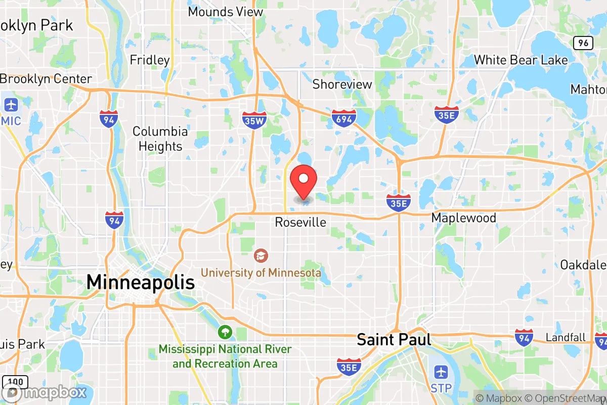
Regional Safe Places
Below is our recommended "safe zones" in Minnesota and the surrounding area based on our strategic heuristics. For most people, it's unrealistic to live in a “safe zone” full-time due to work, family or other personal reasons. They tend to be more rural. However, many of these areas are perfect for second homes and retreat properties that double as a vacation home or even a short-term rental.


Important Note: For informational purposes only. This does not mean nothing bad ever happens in the green zones. Please use common sense. This is based on public data and modeled with AI. We tried to take a conservative approach but mistakes happen. We update this regularly as new information becomes available.
Solar Generator Recommendations
Backup power matters more here than in safer locations. We've picked three solar generators across budgets and capacity tiers — start with the budget unit if you only need a few essentials, or step up if you want to run a fridge and HVAC for days at a time.

Jackery Portable Power Station Explorer 300
Budget OptionPower on the Go: Weighing only 11 lbs, it's convenient to set up and store with book-sized foldable solar panels

BLUETTI Portable Power Station AC180
Designed for both indoor and outdoor scenarios, AC180 is highly capable as it has a robost capacity and continuous output power.

EF ECOFLOW DELTA Pro Ultra Power Station
Upgraded PickEcoFlow DELTA Pro Ultra is a whole-home energy system designed to grow with your family. Integrated with the Smart Home Panel 2, it scales to meet your evolving energy needs — keeping your home powered, intelligent, and secure through every stage of life.
We earn a commission, at no additional cost to you.
Strategic Assessment Analysis
Roseville, Minnesota, presents a complex strategic picture for the conservative prepper or survivalist. On one hand, its location in the heart of Ramsey County offers the resilience of established infrastructure, a robust tax base, and proximity to major medical centers like the University of Minnesota Medical Center and Regions Hospital. On the other hand, its very position—a dense, politically blue suburb of the Twin Cities—introduces significant vulnerabilities that a serious relocator must weigh. The area’s true strategic value lies not in its isolation, but in its ability to serve as a temporary staging ground or a "gray man" buffer zone, provided you have a clear exit plan for when the urban core inevitably destabilizes.
Geographic position and natural advantages for a strategic relocation
Roseville sits roughly 10 miles north of downtown Minneapolis and 8 miles west of St. Paul, placing it within the immediate blast radius of any major metropolitan event—whether that’s a coordinated civil unrest, a grid-down scenario, or a mass casualty incident tied to the region’s critical infrastructure. The city itself is built on relatively flat, glaciated terrain, with the Mississippi River winding just a few miles to the east. This river is a double-edged sword: it provides a natural water source and a potential travel corridor, but it also concentrates population movement and creates chokepoints at bridges like the I-694 and I-35W crossings. The area’s natural advantages are modest. The soil is fertile, and the region receives adequate rainfall, but the growing season is short (roughly 150 days), making serious subsistence farming a long-term project rather than an immediate solution. The presence of numerous small lakes—like Lake Owasso and Lake Johanna—offers decentralized water sources, but they are also heavily trafficked by locals and could become contested resources in a prolonged crisis. For a relocator, the key takeaway is that Roseville’s geography offers no natural defensibility; it is a flat, open suburb with easy access for both friendly and hostile movement.
Risks, exposures, and proximity to fallout-relevant landmarks
The most glaring risk for a survivalist in Roseville is its proximity to high-value, high-risk targets. The Twin Cities metro is home to the Minneapolis–Saint Paul International Airport (MSP), a major transportation hub that would be a primary target in any kinetic conflict or terrorist event. Additionally, the area hosts the Xcel Energy headquarters and multiple electrical substations that are vulnerable to both physical attack and electromagnetic pulse (EMP) effects. The 3M headquarters in nearby Maplewood, along with other industrial facilities along the Mississippi, present chemical and hazardous material risks. In a societal collapse scenario, Roseville’s dense population (over 36,000 residents in just 13 square miles) becomes a liability. The city is a classic "bedroom community" with limited local food production and heavy reliance on just-in-time supply chains. The Rosedale Center mall and the surrounding commercial corridors would become focal points for looting and desperate crowds. Furthermore, the city’s political leanings—Ramsey County voted +33 for Biden in 2020—mean that local governance may prioritize progressive social policies over practical emergency management, potentially leading to delayed or ineffective responses to unrest. For the conservative relocator, this is not a place to hunker down; it’s a place to pass through or use as a temporary base while scouting more defensible rural properties in Washington or Chisago counties to the north.
Practical resilience for a relocator: food, water, energy, and defensibility
When assessing Roseville’s practical resilience, the numbers are sobering. The city has no significant agricultural land within its borders; nearly all food is trucked in from outside. Local water comes from the St. Paul Regional Water Services system, which draws from the Mississippi River. This centralized system is a single point of failure—a contamination event, a power outage, or a deliberate attack could leave tens of thousands without potable water within hours. Private wells are rare in this suburban environment, so a relocator would need to stockpile at least two weeks of water per person, or invest in a high-quality filtration system capable of handling river water. Energy resilience is equally challenging. Xcel Energy provides the grid, which is aging and increasingly subject to rolling blackouts during peak summer and winter demand. Solar panels are viable, but the region’s cloud cover and short winter days reduce their effectiveness. A generator with a secure fuel supply is a near-necessity. Defensibility is the weakest link. Roseville’s layout—a grid of interconnected streets with multiple entry points—makes it nearly impossible to secure a perimeter. The best a relocator can do is choose a home on a cul-de-sac or near a park with limited access, and fortify it with reinforced doors, window film, and a clear line of sight to the street. Neighborhood watch programs exist, but they are not a substitute for a well-armed, like-minded community. The city’s police force, while professional, is stretched thin and would be overwhelmed in a widespread emergency.
The overall strategic picture for Roseville, MN, is one of calculated risk. It is not a survivalist’s paradise, nor is it a complete write-off. For the conservative relocator who values proximity to medical care, supply runs, and the ability to monitor urban events from a relatively safe distance, it can work as a short-to-medium-term base. But the long-term plan must involve a bug-out location—preferably 50 to 100 miles north or west, where land is cheaper, water is more plentiful, and the population density drops to a manageable level. Roseville’s best use is as a "gray man" staging area: a place to blend in, stockpile supplies, and build a network before the inevitable collapse of the urban core. If you’re looking for a permanent retreat, look elsewhere. If you’re looking for a strategic foothold with an exit strategy, Roseville can serve that purpose—but only if you treat it as a stepping stone, not a final destination.
* Values derived from national, state, county, city and local statistics and may differ in a specific area. Last updated: 2026-04-29T23:18:15.000Z
Narrative content on this page is AI-generated and may contain mistakes. Verify any details that matter before acting on them.
ReloMaps may earn a commission from affiliate links at no extra cost to you.