
Photo: Wikipedia
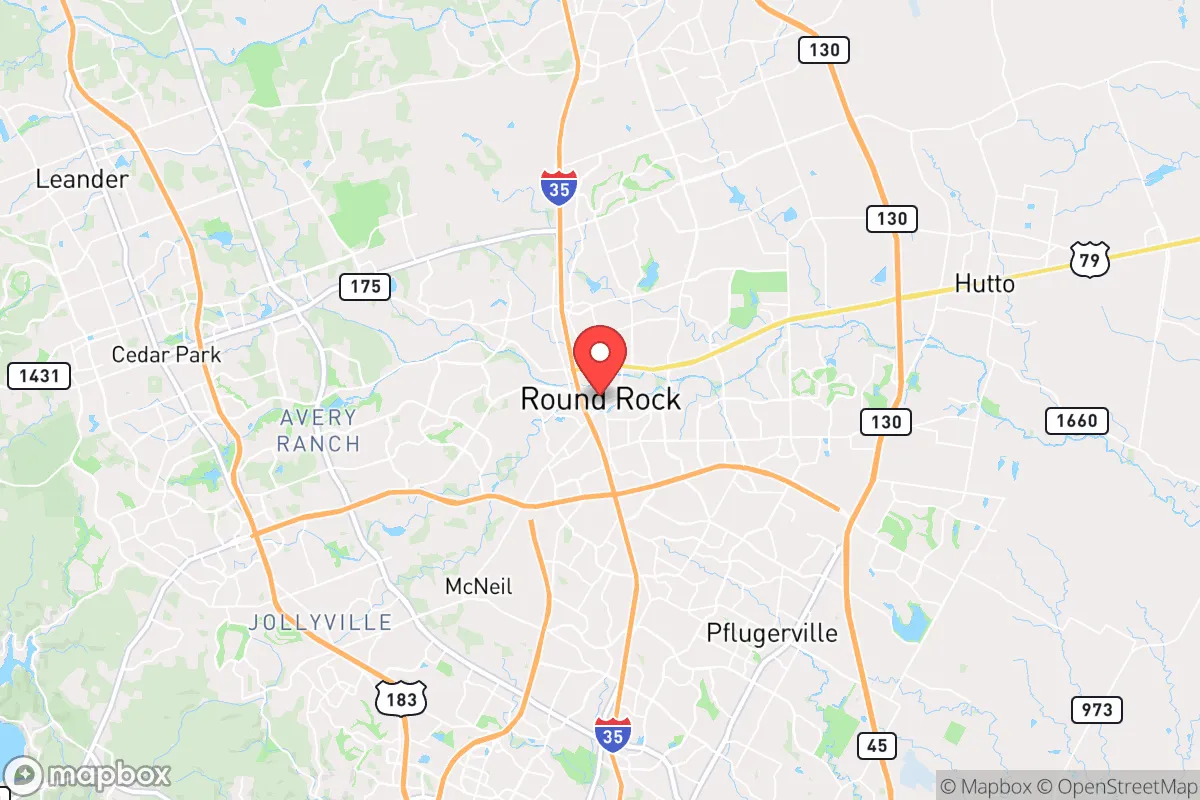
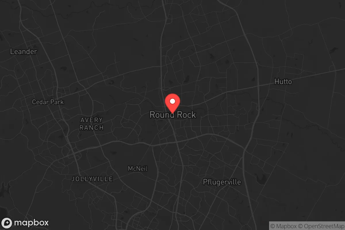
Strategic Assessment of Round Rock, TX
Multiple tactical vulnerabilities. Population density, target proximity, or disaster risk are likely compounding. A retreat property and exit planning is required.
What does the Strategic Assessment tell us?
Our Strategic Assessment grades tactical survivability of an area. Major population centers, military targets, fallout zones, natural disasters, and border exposure all drive risk — lower exposure means a more defensible position in a crisis.
This is heavily inspired by Joel Skousen's Strategic Relocation book. Highly recommended you checkout the book ($)What does this tell us?
Our Strategic Assessment grades tactical survivability of an area. Major population centers, military targets, fallout zones, natural disasters, and border exposure all drive risk — lower exposure means a more defensible position in a crisis.
This is heavily inspired by Joel Skousen's Strategic Relocation book. Highly recommended you checkout the book ($)Strategic Pillars

Key Distances
Regional Safe Places
Below is our recommended "safe zones" in Texas and the surrounding area based on our strategic heuristics. For most people, it's unrealistic to live in a “safe zone” full-time due to work, family or other personal reasons. They tend to be more rural. However, many of these areas are perfect for second homes and retreat properties that double as a vacation home or even a short-term rental.


Important Note: For informational purposes only. This does not mean nothing bad ever happens in the green zones. Please use common sense. This is based on public data and modeled with AI. We tried to take a conservative approach but mistakes happen. We update this regularly as new information becomes available.
Solar Generator Recommendations
Backup power matters more here than in safer locations. We've picked three solar generators across budgets and capacity tiers — start with the budget unit if you only need a few essentials, or step up if you want to run a fridge and HVAC for days at a time.

Jackery Portable Power Station Explorer 300
Budget OptionPower on the Go: Weighing only 11 lbs, it's convenient to set up and store with book-sized foldable solar panels

BLUETTI Portable Power Station AC180
Designed for both indoor and outdoor scenarios, AC180 is highly capable as it has a robost capacity and continuous output power.

EF ECOFLOW DELTA Pro Ultra Power Station
Upgraded PickEcoFlow DELTA Pro Ultra is a whole-home energy system designed to grow with your family. Integrated with the Smart Home Panel 2, it scales to meet your evolving energy needs — keeping your home powered, intelligent, and secure through every stage of life.
We earn a commission, at no additional cost to you.
Strategic Assessment Analysis
Round Rock, Texas, presents a mixed strategic picture for the conservative prepper. Its economic resilience is real—driven by a massive Dell Technologies headquarters and a diversified healthcare and logistics sector—but its geographic position as a northern suburb of Austin places it squarely in the path of any major metropolitan collapse. For a relocator weighing long-term survivability against short-term convenience, Round Rock offers solid infrastructure and community stability, but its proximity to a major urban center and its position along key evacuation corridors introduce risks that demand careful, sober consideration.
Geographic position and natural advantages for long-term stability
Round Rock sits on the eastern edge of the Texas Hill Country, roughly 20 miles north of downtown Austin. This location provides a meaningful buffer from the immediate chaos of a major city while still offering access to its resources—a double-edged sword in a crisis. The area’s natural advantages include a relatively low risk of hurricanes (compared to coastal Texas), minimal earthquake activity, and a climate that supports year-round agriculture. The Balcones Escarpment, just west of town, provides a natural defensive terrain feature, with limestone ridges and rolling hills that could slow movement and offer observation points. The region’s water table is generally reliable, with the Edwards Aquifer and several smaller aquifers underlying the area, though drought cycles are a recurring concern. For a prepper, the ability to retreat west into the Hill Country—sparsely populated, rugged, and defensible—is a significant strategic asset, provided you have the means and plan to do so before roads become impassable.
Risks, exposures, and proximity to fallout-relevant landmarks
The single greatest vulnerability for Round Rock is its proximity to Austin, a city of nearly one million people that is a likely target for civil unrest, mass casualty events, or infrastructure attacks. In a grid-down scenario, the I-35 corridor—which runs directly through Round Rock—would become a chokepoint for refugees fleeing south or north, creating a humanitarian and security nightmare. The city is also within 50 miles of the Austin-Bergstrom International Airport, a potential military or logistical target, and within 100 miles of the San Antonio military installations (Fort Sam Houston, Lackland AFB). While Round Rock itself has no major military or nuclear facilities, its position along the I-35 "NAFTA superhighway" makes it a natural funnel for both commerce and chaos. Additionally, the area is prone to flash flooding during heavy rain events, particularly along Brushy Creek and the San Gabriel River, which can isolate neighborhoods and cut off evacuation routes. For a relocator, the key takeaway is that Round Rock is not a bug-out location—it is a staging ground. You must have a plan to move west or north within the first 48 hours of a major event, or risk being trapped in a suburban bottleneck.
Practical resilience for a relocator: food, water, energy, and defensibility
On the practical side, Round Rock offers several advantages for a prepared individual or family. The local food supply chain is robust, with multiple H-E-B and Walmart distribution centers in the region, but these will be stripped within hours of a crisis. A better bet is the network of local farms and ranches in Williamson County, many of which sell directly to consumers. The city’s water supply comes from the Colorado River via the City of Austin’s water system, which is a single-point-of-failure vulnerability. A well on your property—or a plan to access a nearby spring or creek—is non-negotiable for long-term resilience. Energy-wise, the Texas grid (ERCOT) is notoriously fragile, and Round Rock has experienced rolling blackouts during winter storms (2021) and summer heatwaves. Solar with battery backup is a wise investment, but note that HOA restrictions in many subdivisions can be a barrier. Defensibility is the weakest link: most Round Rock neighborhoods are typical suburban sprawl with cul-de-sacs, large windows, and multiple entry points. A rural property on the western edge of the county, with a long driveway and natural cover, is far more defensible. For those who must stay in town, a home on a corner lot with a fenced yard and a basement (rare in Texas) is the best you can do. The local police and sheriff’s department are well-funded and professional, but in a widespread event, they will be overwhelmed within hours.
The overall strategic picture for Round Rock is one of calculated compromise. It is not a fortress, nor is it a wasteland. It offers a stable community, good schools, and a strong economy for those who want to live a normal life while maintaining a low-profile preparedness posture. But the prepper who moves here thinking they are safe from the chaos of the cities is fooling themselves. The I-35 corridor is a liability. The proximity to Austin is a liability. The reliance on centralized infrastructure is a liability. The smart play is to use Round Rock as a base of operations—a place to build skills, store supplies, and network with like-minded neighbors—while maintaining a secondary retreat property in the Hill Country or further north toward the Red River. If you are willing to accept that trade-off, Round Rock can work. If you are looking for a true redoubt, keep driving west.
* Values derived from national, state, county, city and local statistics and may differ in a specific area. Last updated: 2026-04-19T07:25:10.000Z
Narrative content on this page is AI-generated and may contain mistakes. Verify any details that matter before acting on them.
ReloMaps may earn a commission from affiliate links at no extra cost to you.