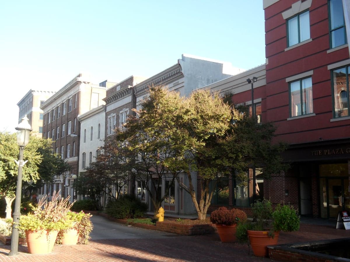
Photo: Wikipedia
Strategic Assessment of Salisbury, MD
Meaningful friction. Expect exposure to either population pressure, blast zones, or natural disaster risk. Consider buying a retreat property.
What does the Strategic Assessment tell us?
Our Strategic Assessment grades tactical survivability of an area. Major population centers, military targets, fallout zones, natural disasters, and border exposure all drive risk — lower exposure means a more defensible position in a crisis.
This is heavily inspired by Joel Skousen's Strategic Relocation book. Highly recommended you checkout the book ($)What does this tell us?
Our Strategic Assessment grades tactical survivability of an area. Major population centers, military targets, fallout zones, natural disasters, and border exposure all drive risk — lower exposure means a more defensible position in a crisis.
This is heavily inspired by Joel Skousen's Strategic Relocation book. Highly recommended you checkout the book ($)Strategic Pillars

Key Distances
Regional Safe Places
Below is our recommended "safe zones" in Maryland and the surrounding area based on our strategic heuristics. For most people, it's unrealistic to live in a “safe zone” full-time due to work, family or other personal reasons. They tend to be more rural. However, many of these areas are perfect for second homes and retreat properties that double as a vacation home or even a short-term rental.


Important Note: For informational purposes only. This does not mean nothing bad ever happens in the green zones. Please use common sense. This is based on public data and modeled with AI. We tried to take a conservative approach but mistakes happen. We update this regularly as new information becomes available.
Solar Generator Recommendations
Backup power matters more here than in safer locations. We've picked three solar generators across budgets and capacity tiers — start with the budget unit if you only need a few essentials, or step up if you want to run a fridge and HVAC for days at a time.

Jackery Portable Power Station Explorer 300
Budget OptionPower on the Go: Weighing only 11 lbs, it's convenient to set up and store with book-sized foldable solar panels

BLUETTI Portable Power Station AC180
Designed for both indoor and outdoor scenarios, AC180 is highly capable as it has a robost capacity and continuous output power.

EF ECOFLOW DELTA Pro Ultra Power Station
Upgraded PickEcoFlow DELTA Pro Ultra is a whole-home energy system designed to grow with your family. Integrated with the Smart Home Panel 2, it scales to meet your evolving energy needs — keeping your home powered, intelligent, and secure through every stage of life.
We earn a commission, at no additional cost to you.
Strategic Assessment Analysis
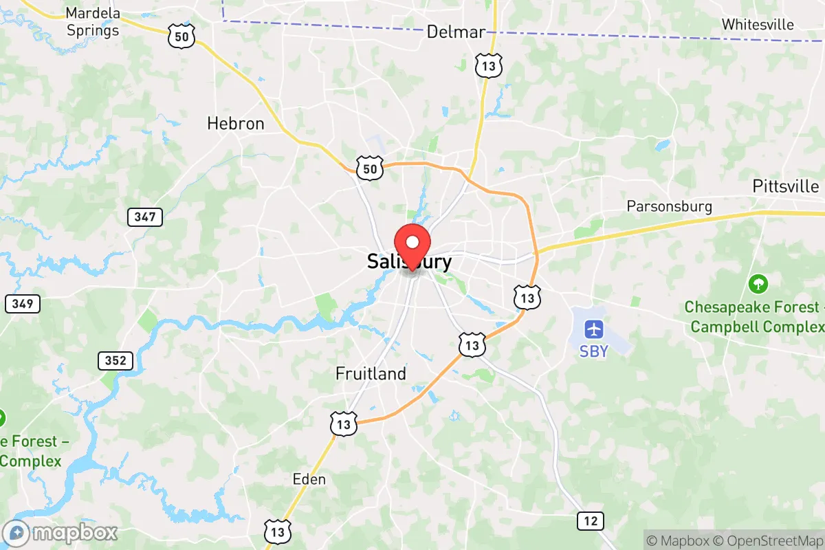
Salisbury, Maryland, occupies a strategic position on the Eastern Shore that offers a blend of geographic isolation and logistical connectivity, making it a serious consideration for those prioritizing resilience and self-sufficiency. While not a fortress, the city’s location—roughly 30 miles from the Atlantic coast and 100 miles from the Baltimore-Washington corridor—places it far enough from primary population centers to avoid the immediate fallout of a major urban disaster, yet close enough to access critical supply routes. For a relocator with a prepper mindset, Salisbury’s value lies in its ability to function as a semi-rural hub with access to farmland, waterways, and a relatively low population density, though it is not without significant vulnerabilities that demand careful assessment.
Geographic position and natural advantages for long-term security
Salisbury sits at the crossroads of U.S. Routes 13 and 50, providing two major evacuation corridors that lead south toward the Delmarva Peninsula’s rural interior or north toward the Chesapeake Bay Bridge—though that bridge is a notorious chokepoint in any crisis. The surrounding landscape is dominated by agricultural land, with Wicomico County boasting over 100,000 acres of farmland, which translates to a local food production capacity that many urban areas lack entirely. The Wicomico River, a tributary of the Chesapeake Bay, runs through the city, offering a freshwater source and potential for small-scale fishing or transport, though it is tidal and brackish in parts, limiting its utility for drinking without treatment. The area’s flat terrain and moderate climate reduce risks from earthquakes, wildfires, and extreme cold, but the region is prone to hurricanes and nor’easters, which can disrupt power and supply chains for days. For a relocator, the key advantage is the ability to tap into a local agricultural economy—farmers’ markets, CSAs, and direct-from-farm purchases are common—reducing dependence on fragile national supply chains. The Delmarva Peninsula’s relative isolation, bounded by the Chesapeake Bay and Atlantic Ocean, acts as a natural buffer against mass migration from coastal cities during a crisis, though it also means limited escape routes if the situation deteriorates further.
Risks, exposures, and proximity to fallout-relevant landmarks
The most glaring vulnerability for Salisbury is its proximity to the Baltimore-Washington metropolitan area, home to over 8 million people and a dense concentration of federal infrastructure, military installations, and potential terrorist targets. In the event of a major civic unrest event, mass casualty incident, or electromagnetic pulse (EMP) attack, Salisbury would likely see a surge of refugees fleeing the I-95 corridor, overwhelming local resources within days. The city itself is not a primary target—it lacks major military bases, nuclear power plants, or high-value government facilities—but it sits within 100 miles of Joint Base Andrews, the Pentagon, and the Indian River Power Plant (a coal-fired facility, not nuclear). The nearest nuclear plant is the Calvert Cliffs facility in Lusby, Maryland, about 90 miles northwest, which poses a moderate fallout risk if compromised, though prevailing winds typically carry contamination eastward over the Chesapeake Bay, potentially affecting the Eastern Shore. Additionally, the Chesapeake Bay Bridge (U.S. 50) is a single-point-of-failure infrastructure: if damaged or blocked, Salisbury becomes a dead-end, with only Route 13 south as an alternative, which itself bottlenecks at the Virginia line. For a prepper, the risk of being trapped in a mass evacuation scenario is real, and the city’s emergency services—while competent—are sized for a population of 33,000, not the tens of thousands that could arrive in a crisis. Crime rates in Salisbury are above the national average, with property crime being a particular concern, which could escalate during unrest; the city’s police force is adequate for routine operations but would be stretched thin in a prolonged emergency.
Practical resilience for a relocator: food, water, energy, and defensibility
For a single individual or family looking to establish a resilient homestead, Salisbury offers a mixed bag. Food security is a strong point: the Eastern Shore is a major poultry and grain producer, with Perdue Farms headquartered just 20 miles away in Salisbury, and local farms selling eggs, meat, and produce year-round. The city has multiple grocery chains (Walmart, Food Lion, Aldi) for normal times, but a prepper should establish direct relationships with farmers—many are conservative-leaning and open to barter or bulk purchases. Water access is moderate: the Wicomico River is not potable without filtration or boiling due to agricultural runoff and tidal salinity, but groundwater wells are common in rural areas outside city limits. The city’s municipal water supply comes from the Columbia Aquifer, which is generally reliable, but a prolonged power outage would disable pumping stations. Energy resilience is a weak point: the grid is served by Delmarva Power, which has a history of outages during storms; solar panels with battery storage are a wise investment, though local zoning can be restrictive. Natural gas is available in parts of the city, but propane tanks are more common in outlying areas. Defensibility is situational: Salisbury’s layout is a typical small city with a downtown core, suburban sprawl, and rural fringe. A property on the outskirts—say, toward Fruitland or Hebron—offers better defensibility with acreage, sightlines, and distance from main roads, while in-town locations are vulnerable to looting and mass movement. The local gun culture is strong, with multiple gun shops and ranges in the area, and Maryland’s firearm laws are restrictive (requiring a permit for concealed carry, with a 7-day wait for handguns), but the Eastern Shore tends to be more permissive in practice than the rest of the state. Medical resilience is adequate: TidalHealth Peninsula Regional, the regional hospital, is a level II trauma center with a helipad, but it would be overwhelmed in a mass casualty event; having a robust first-aid kit and training is non-negotiable.
The overall strategic picture for Salisbury is one of cautious viability for the prepared relocator. It is not a bug-out location—it lacks the remote defensibility of the Appalachian foothills or the self-sufficiency of a fully off-grid homestead—but it offers a middle ground: a semi-rural community with agricultural resources, moderate isolation from primary targets, and a conservative-leaning population that values self-reliance. The key is to treat Salisbury as a base of operations rather than a final redoubt, with a plan to either hunker down on a well-stocked property or bug out further south into Virginia’s rural counties if the situation demands it. The risks from proximity to the D.C. corridor, the single-point bridge failure, and the hurricane threat are real, but they can be mitigated with proper planning—multiple evacuation routes, a year’s worth of supplies, and a network of like-minded locals. For a single person or family willing to invest in solar, well water, and a defensible property on the outskirts, Salisbury provides a strategic foothold in a region that is often overlooked by those focused solely on the mountains or the deep South. It is a place to ride out the storm, not to disappear from the map entirely—and for many, that is exactly the balance they need.
* Values derived from national, state, county, city and local statistics and may differ in a specific area. Last updated: 2026-04-19T07:05:31.000Z
Narrative content on this page is AI-generated and may contain mistakes. Verify any details that matter before acting on them.
ReloMaps may earn a commission from affiliate links at no extra cost to you.