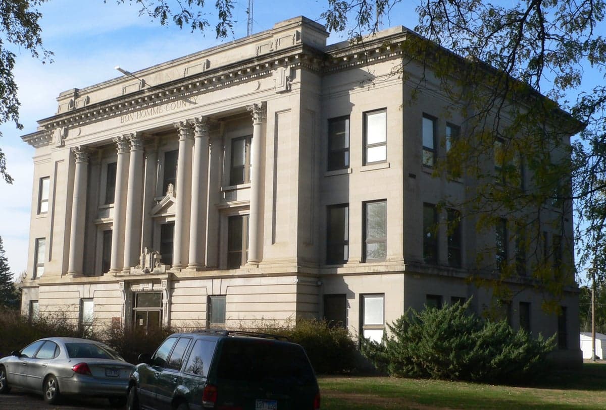
Photo: Wikipedia
Strategic Assessment of Bon Homme County
Deep buffer from population centers and strategic targets. Low natural disaster risk and minimal exposure to border or coastal threats.
What does the Strategic Assessment tell us?
Our Strategic Assessment grades tactical survivability of an area. Major population centers, military targets, fallout zones, natural disasters, and border exposure all drive risk — lower exposure means a more defensible position in a crisis.
This is heavily inspired by Joel Skousen's Strategic Relocation book. Highly recommended you checkout the book ($)What does this tell us?
Our Strategic Assessment grades tactical survivability of an area. Major population centers, military targets, fallout zones, natural disasters, and border exposure all drive risk — lower exposure means a more defensible position in a crisis.
This is heavily inspired by Joel Skousen's Strategic Relocation book. Highly recommended you checkout the book ($)Strategic Pillars

Key Distances
Strategic Assessment Analysis
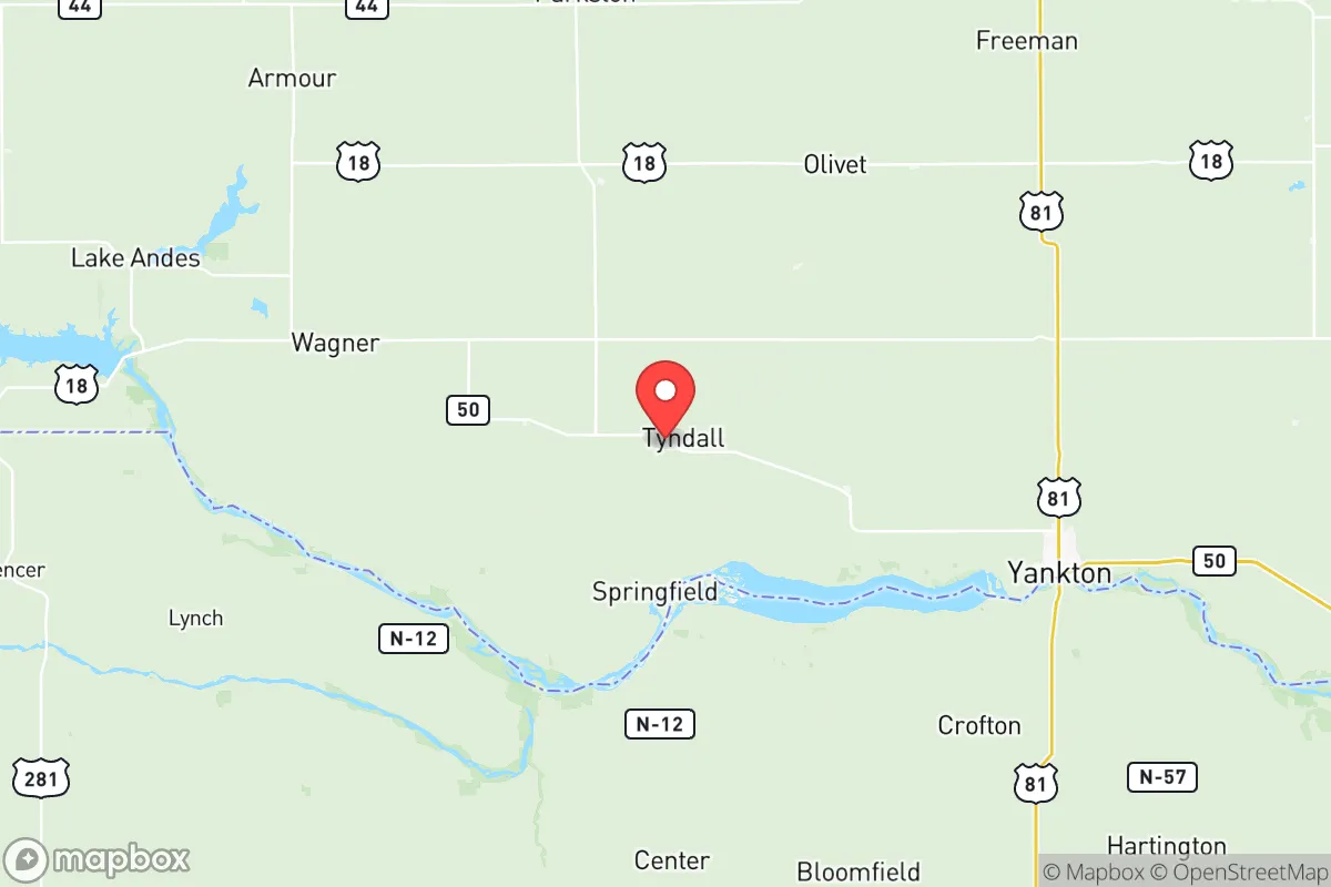
Bon Homme County, South Dakota, offers a strategic relocation option for those prioritizing resilience and distance from major population centers, sitting squarely in the southeastern corner of the state along the Missouri River. Its location provides a buffer from the coastal and urban chaos that many preppers seek to avoid, while still maintaining access to essential infrastructure and regional supply routes. The county seat, Tyndall, and the largest town, Scotland, anchor a sparsely populated area where the 2020 census counted just over 7,000 residents, meaning you’re not competing with crowds for resources or escape routes. This is a place where the land itself—flat, fertile, and river-fed—gives you a head start on self-sufficiency, but you need to understand the full picture before packing the truck.
Geographic position and natural advantages for long-term security
Bon Homme County’s primary strategic asset is its position along the Missouri River, which provides a reliable water source and a natural barrier to the south. The river isn’t just for drinking; it’s a corridor for barge traffic and a potential food source via fishing, but more importantly, it creates a defensible southern boundary. The county sits roughly 90 miles southwest of Sioux Falls, the state’s largest city, and about 70 miles northwest of Sioux City, Iowa—close enough to access medical centers and supply hubs in a stable period, but far enough that you won’t be caught in the crush of a mass evacuation. The terrain is mostly rolling plains and agricultural land, which means open sightlines for security and minimal risk of wildfires or landslides. The James River also cuts through the eastern part of the county near Tabor, adding another water source and a secondary riparian corridor for movement or foraging. For a relocator, the absence of major interstate highways running directly through the county is a double-edged sword: it keeps traffic and transient threats low, but you’ll rely on state highways 37 and 50 for resupply runs, which can be monitored or blocked in a crisis.
Risks, exposures, and proximity to fallout-relevant landmarks
The biggest risk factor here is the proximity to the Missouri River itself—not from flooding, which is manageable with proper siting, but from the potential for dam failures or targeted infrastructure attacks. The Fort Randall Dam, located about 30 miles upstream near Pickstown, and the Gavins Point Dam near Yankton, roughly 20 miles downstream, are both critical pieces of the region’s power and water control grid. A coordinated attack or natural failure at either could disrupt the river’s flow and flood low-lying areas, though Bon Homme County’s bluffs and higher ground near the river offer some natural protection. On the fallout front, the county is far from any nuclear power plants—the nearest is Fort Calhoun in Nebraska, over 100 miles southeast—and there are no major military bases or refineries within a 50-mile radius. The closest strategic target would be the ethanol plants in the region, like the one in Aurora, South Dakota, or the rail yards in Sioux City, but these are low-priority for a mass-casualty event. The real exposure is economic: the county’s reliance on agriculture means a widespread crop failure or livestock disease outbreak could hit hard, but that’s a slow-moving threat you can plan around, not a sudden collapse.
Practical resilience for a relocator: food, water, energy, and defensibility
For a prepper, Bon Homme County checks several boxes on the practical side. Water is abundant from the Missouri River and the James River, but you’ll need to treat or filter it—municipal supplies in Tyndall and Scotland are reliable now, but a grid-down scenario means wells or river access are your backup. The county’s agricultural base means local food production is strong; you can buy direct from farms around Avon or Tabor, and the area’s corn and soybean fields offer barter potential. Hunting is viable for deer, pheasant, and waterfowl, especially along the river bottoms. Energy is a mixed bag: the county is served by the Missouri River Energy Services grid, which pulls from hydroelectric dams, so power outages from dam sabotage are a real risk. Solar panels are a smart investment here, given the region’s 200+ sunny days per year, and wind is consistent enough for small turbines. Defensibility is solid—the low population density means you can secure a rural property with good sightlines, and the county’s layout with small towns spaced 10-15 miles apart means you can establish a network of trusted neighbors. The downside is that law enforcement coverage is thin; the Bon Homme County Sheriff’s Office has only a handful of deputies, so you’re largely responsible for your own security in a crisis. Stockpile ammunition and medical supplies, because the nearest Level II trauma center is in Sioux Falls, a 90-minute drive under ideal conditions.
The overall strategic picture for Bon Homme County is one of moderate resilience with clear trade-offs. It’s not a fortress, but it’s a solid base camp for someone who wants to be out of the blast radius of major cities and industrial targets while still having access to water, food, and regional supply lines. The conservative lean of the area—South Dakota as a whole voted +26 for Trump in 2024—aligns with a mindset of self-reliance and limited government interference, which is a practical advantage when building a long-term survival plan. If you’re a single individual or a family looking to bug out to a place where you can dig in and ride out the storm, Bon Homme County offers a quiet, defensible corner of the plains. Just don’t expect a prepper paradise—you’ll need to bring your own infrastructure, build community relationships, and stay alert to the vulnerabilities of the river and the thin local services. It’s a place for serious preparation, not fantasy.
* Values derived from national, state, county, city and local statistics and may differ in a specific area. Last updated: 2026-05-28T04:16:40.000Z
Narrative content on this page is AI-generated and may contain mistakes. Verify any details that matter before acting on them.
ReloMaps may earn a commission from affiliate links at no extra cost to you.