Photo: Wikipedia
Strategic Assessment of Brule County
Strong survivability profile. Good buffer from population centers, with manageable environmental and tactical risks.
What does the Strategic Assessment tell us?
Our Strategic Assessment grades tactical survivability of an area. Major population centers, military targets, fallout zones, natural disasters, and border exposure all drive risk — lower exposure means a more defensible position in a crisis.
This is heavily inspired by Joel Skousen's Strategic Relocation book. Highly recommended you checkout the book ($)What does this tell us?
Our Strategic Assessment grades tactical survivability of an area. Major population centers, military targets, fallout zones, natural disasters, and border exposure all drive risk — lower exposure means a more defensible position in a crisis.
This is heavily inspired by Joel Skousen's Strategic Relocation book. Highly recommended you checkout the book ($)Strategic Pillars

Key Distances
Strategic Assessment Analysis
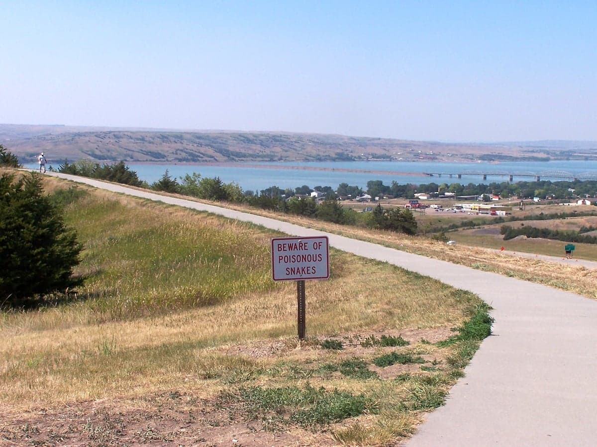
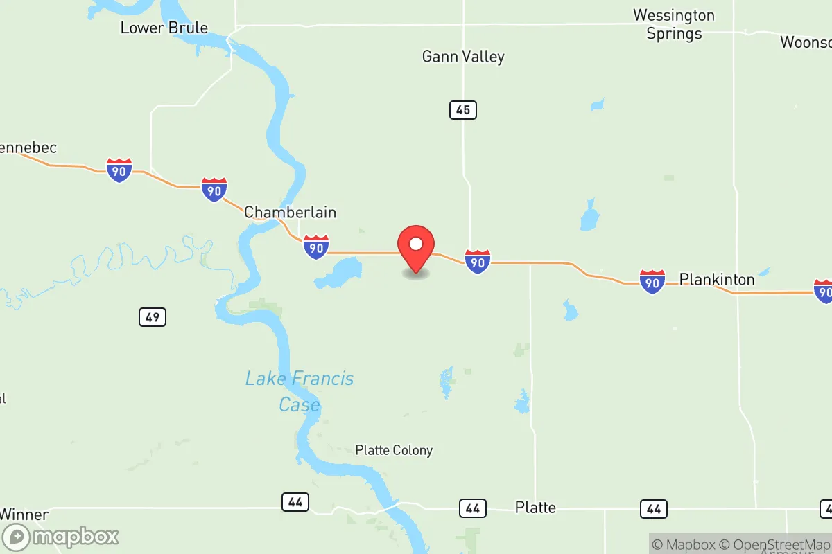
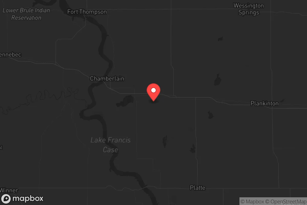
For the strategic relocator looking at long-term security and self-sufficiency, Brule County, South Dakota offers a compelling mix of geographic isolation, resource access, and low population density that's increasingly hard to find in the lower 48. The county sits in central South Dakota, anchored by the Missouri River and the town of Chamberlain, the county seat and commercial hub of roughly 2,400 people. The area's resilience stems from its position well away from any major metropolitan center—Sioux Falls is 140 miles east, Rapid City 190 miles west—placing it outside the blast radius, fallout plume, or civil unrest contagion of any Tier 1 target. This is not a place that will be on anyone's evacuation route or primary resource-destruction list, which is the single most important factor for a relocation strategy built on survivability.
Geographic position and natural defensive advantages in central South Dakota
Brule County's geography is its primary strategic asset. The Missouri River forms its entire eastern and southern boundary, creating a natural moat that controls access to the county's core. Only a few bridges cross the river within the county—the I-90 bridge at Chamberlain and smaller crossings near Kimball and Pukwana—meaning choke points are limited and defensible. The county's terrain is rolling prairie and farmland, offering long sightlines and multiple fallback positions away from the river bluffs. The western side of the county, around the unincorporated areas near Ola and the Crow Creek Reservation boundary, is sparsely populated and offers rugged, broken ground that would discourage casual movement. To the north, the county is bounded by Interstate 90, which is both a transportation asset and a risk. The interstate provides a direct east-west corridor for supply movement or evacuation, but it's also a potential vector for population displacement from either coast. The county's central location—equidistant from the Black Hills and the eastern Dakota cities—means it sits outside the sprawl of any single metro area while still being within a half-day's drive of significant resources.
Risks, exposures, and proximity to fallout-relevant landmarks
No location is without risks, and Brule County's exposures are real but manageable. The most immediate concern is Ellsworth Air Force Base near Rapid City, approximately 190 miles west. Ellsworth is home to B-1B Lancer bombers and is a top-tier strategic target in any conflict involving the United States. A ground burst or multiple warhead strike on Ellsworth would generate significant fallout, but Brule County's distance places it in a lower-risk zone for the immediate blast and thermal effects. Fallout would be wind-dependent, and prevailing westerlies could bring contamination, but the county's position in the central plains means the plume would likely be diluted by the time it arrives. The I-90 corridor is a double-edged sword: it's a FEMA-designated evacuation route and, in a crisis, could see heavy traffic from the coasts. However, the county's rural road network—primarily county highways and gravel roads—offers alternative movement routes that are not easily monitored or blocked. The rail lines running through Chamberlain and Kimball carry freight, including hazardous materials and agricultural chemicals, but a derailment is a localized event, not a regional catastrophe. There are no major refineries, ports, or nuclear power plants within 100 miles. The Crow Creek Indian Reservation, adjacent to the county, has its own governance and demographic dynamics that relocators should understand as part of the social landscape, but it is not a source of instability.
Practical resilience for relocators: food, water, energy, and defensibility
For the individual or family looking to live their values of self-reliance, Brule County offers tangible advantages. Water is the county's most critical resource. The Missouri River is a large, reliable, and year-round source, and the underlying Oglala Aquifer provides groundwater for wells. Chamberlain draws its municipal water from the river, but rural properties will need private wells, which are feasible given the geology. The county's agricultural base means food security is a real possibility. The area is dominated by corn, soybeans, and cattle operations, and local producers are accessible through farmers' markets and direct-to-consumer sales in Chamberlain and Kimball. Energy infrastructure is less robust. The local grid is served by rural electric cooperatives, primarily Central Electric Cooperative, with power sourced from coal and natural gas plants in the region. For off-grid capability, the Great Plains wind resource is excellent—average wind speeds in Brule County exceed 16 mph, making small-scale wind turbines viable. Solar is also feasible, though winter daylight hours are limited at this latitude. Defensibility is high for a rural county. The dispersed population, with only about 5,500 residents across 846 square miles, means neighbors are not close, and the landscape offers few natural points of aggregation. The county sheriff's office has a small presence, and law enforcement response times can be long, which is actually an advantage for those who are prepared to handle their own security. The terrain around the river bluffs and the broken country near the reservation boundary provide numerous locations for a retreat property that would be difficult to approach without warning.
The strategic picture for Brule County is clear: it is a place to survive, not to thrive in the conventional sense. It lacks the job base, medical infrastructure, and social amenities that most relocators expect. The nearest trauma center is in Sioux Falls or Rapid City, both hours away. Winters are harsh, with wind chills below zero for weeks at a time, and any prepper setup must account for heating fuel storage and extreme cold. The county's economy is tied to agriculture and tourism—fishing and hunting along the Missouri River bring seasonal visitors—so a relocator must be largely self-sufficient for supplies and trade goods. But for the audience that understands that security and freedom require trade-offs, Brule County offers a rare combination of isolation, water access, and agricultural abundance that is not available in the more populated western states. The key is to arrive prepared, build relationships with the local agricultural community, and understand that the county's resilience is earned, not guaranteed.
* Values derived from national, state, county, city and local statistics and may differ in a specific area. Last updated: 2026-05-22T12:32:59.000Z
Narrative content on this page is AI-generated and may contain mistakes. Verify any details that matter before acting on them.
ReloMaps may earn a commission from affiliate links at no extra cost to you.