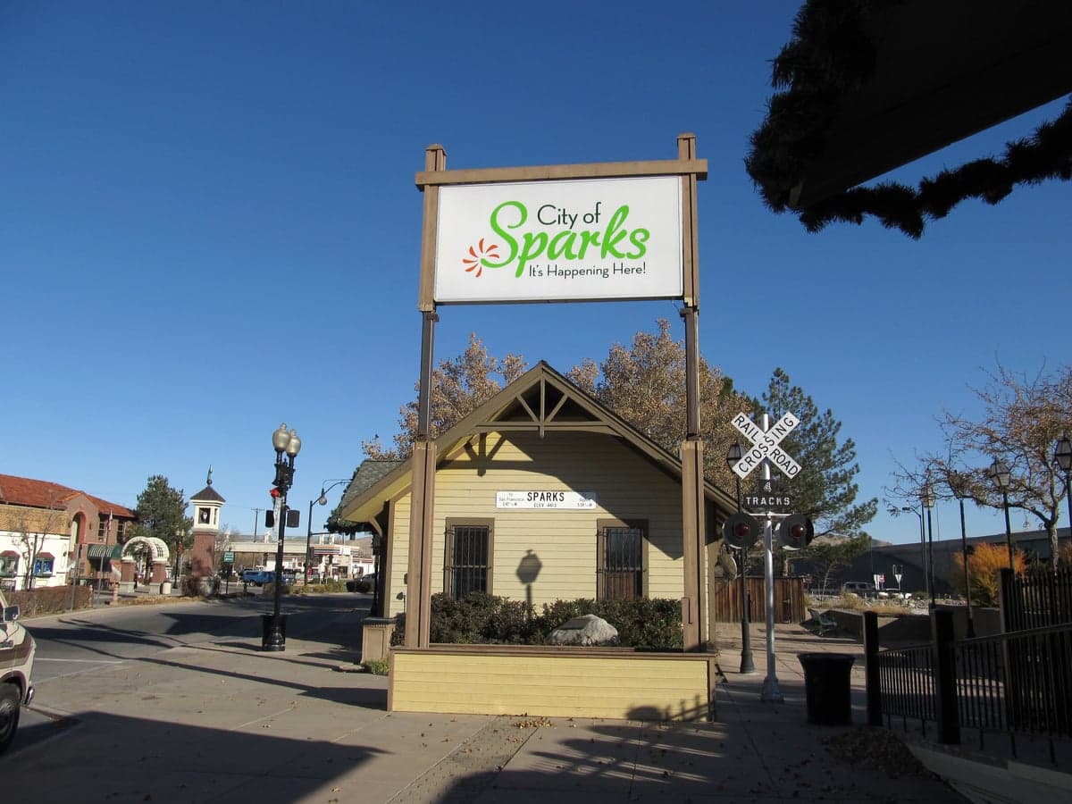
Photo: Wikipedia
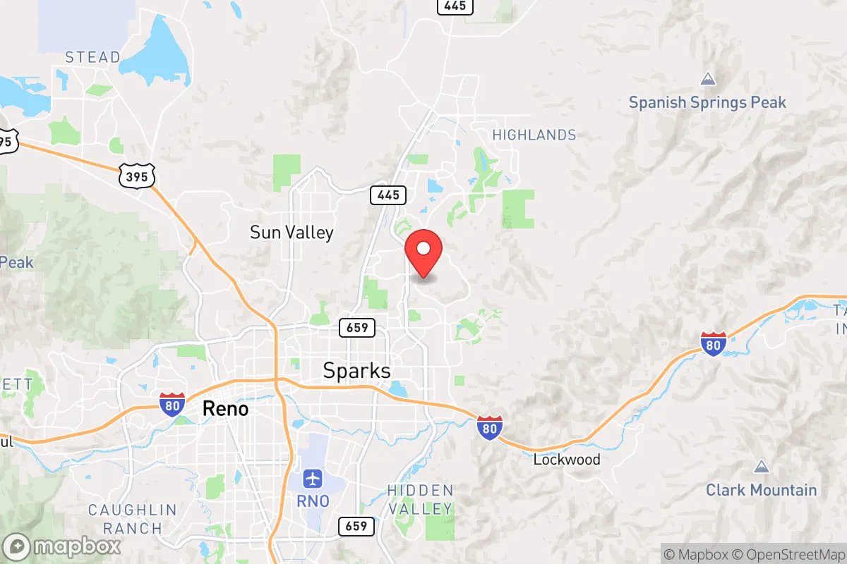
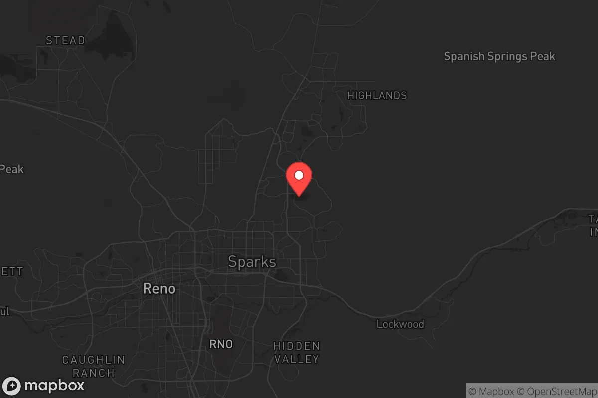
Strategic Assessment of Sparks, NV
Multiple tactical vulnerabilities. Population density, target proximity, or disaster risk are likely compounding. A retreat property and exit planning is required.
What does the Strategic Assessment tell us?
Our Strategic Assessment grades tactical survivability of an area. Major population centers, military targets, fallout zones, natural disasters, and border exposure all drive risk — lower exposure means a more defensible position in a crisis.
This is heavily inspired by Joel Skousen's Strategic Relocation book. Highly recommended you checkout the book ($)What does this tell us?
Our Strategic Assessment grades tactical survivability of an area. Major population centers, military targets, fallout zones, natural disasters, and border exposure all drive risk — lower exposure means a more defensible position in a crisis.
This is heavily inspired by Joel Skousen's Strategic Relocation book. Highly recommended you checkout the book ($)Strategic Pillars

Key Distances
Regional Safe Places
Below is our recommended "safe zones" in Nevada and the surrounding area based on our strategic heuristics. For most people, it's unrealistic to live in a “safe zone” full-time due to work, family or other personal reasons. They tend to be more rural. However, many of these areas are perfect for second homes and retreat properties that double as a vacation home or even a short-term rental.
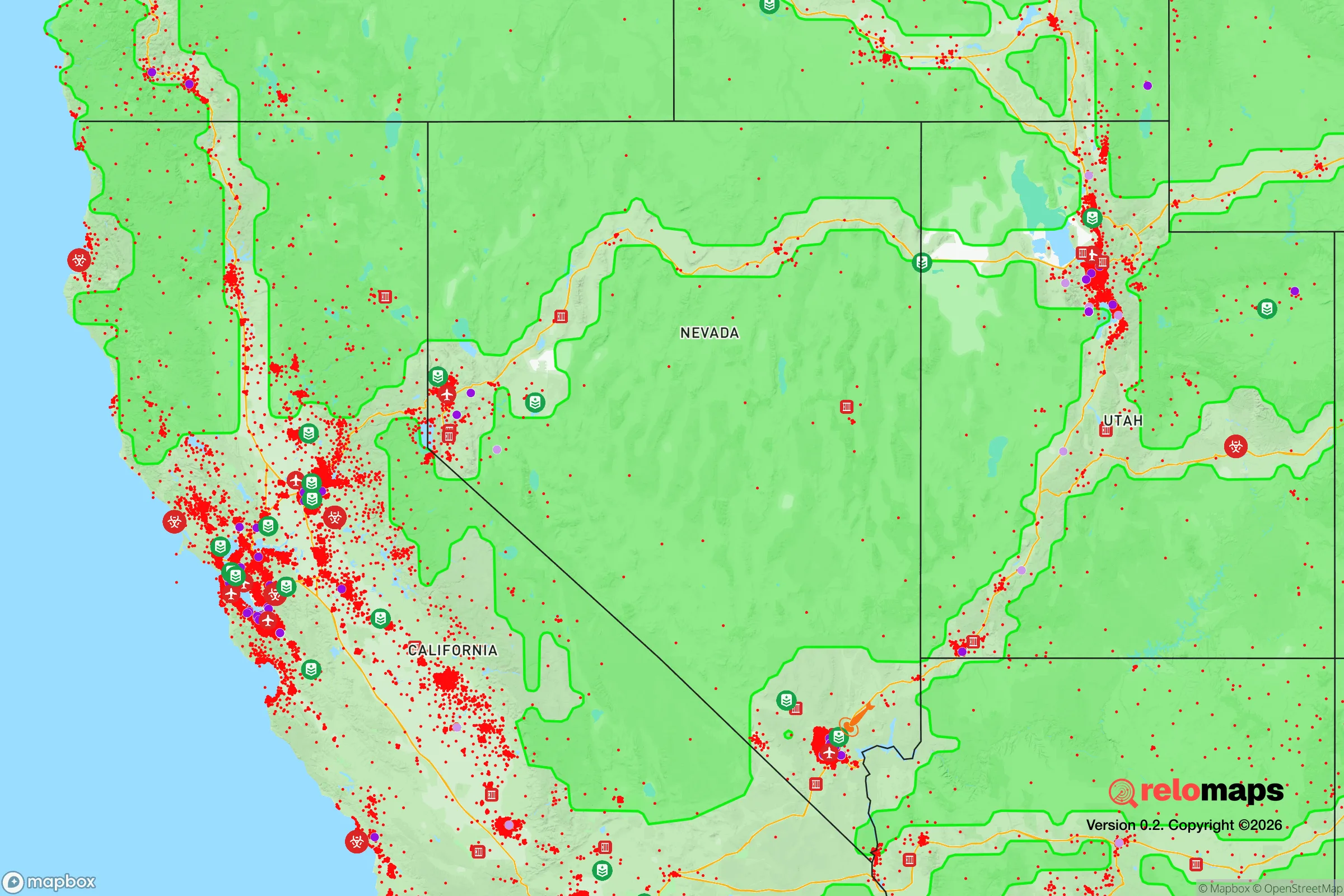
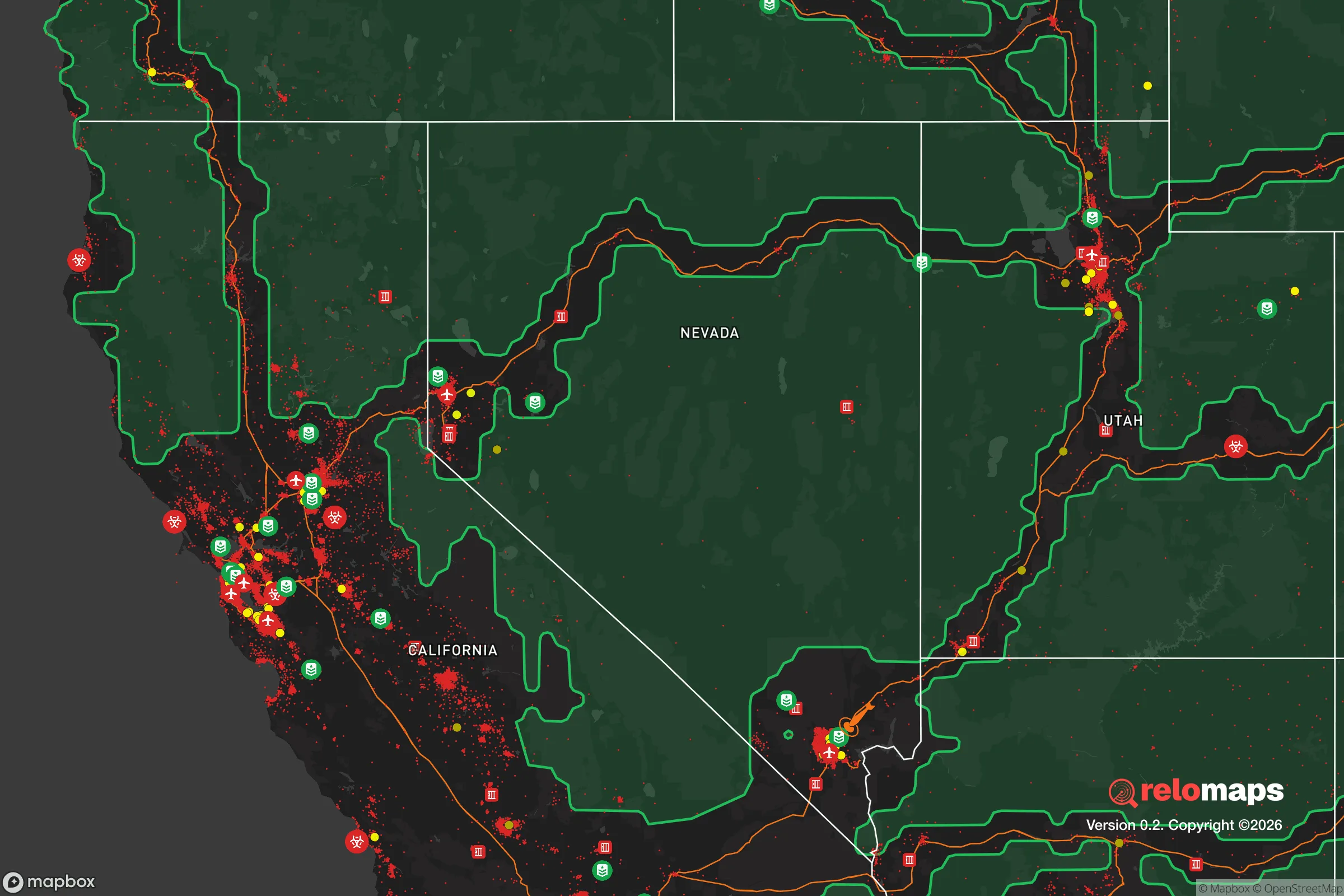
Important Note: For informational purposes only. This does not mean nothing bad ever happens in the green zones. Please use common sense. This is based on public data and modeled with AI. We tried to take a conservative approach but mistakes happen. We update this regularly as new information becomes available.
Solar Generator Recommendations
Backup power matters more here than in safer locations. We've picked three solar generators across budgets and capacity tiers — start with the budget unit if you only need a few essentials, or step up if you want to run a fridge and HVAC for days at a time.

Jackery Portable Power Station Explorer 300
Budget OptionPower on the Go: Weighing only 11 lbs, it's convenient to set up and store with book-sized foldable solar panels

BLUETTI Portable Power Station AC180
Designed for both indoor and outdoor scenarios, AC180 is highly capable as it has a robost capacity and continuous output power.

EF ECOFLOW DELTA Pro Ultra Power Station
Upgraded PickEcoFlow DELTA Pro Ultra is a whole-home energy system designed to grow with your family. Integrated with the Smart Home Panel 2, it scales to meet your evolving energy needs — keeping your home powered, intelligent, and secure through every stage of life.
We earn a commission, at no additional cost to you.
Strategic Assessment Analysis
Sparks, Nevada, offers a surprisingly resilient strategic position for those prioritizing preparedness, sitting just east of Reno in the high desert at the foot of the Sierra Nevada. Its location provides a buffer from the immediate chaos of a major metropolitan collapse while still granting access to critical supply routes and infrastructure. For a relocator with a survivalist mindset, Sparks represents a calculated trade-off: proximity to a potential crisis zone (Reno) balanced by natural defensibility, water access, and a community that still values self-reliance. The key is understanding where the risks truly lie and whether the area's advantages outweigh its exposures for your specific contingency plans.
Geographic position and natural advantages for long-term survival
Sparks sits at roughly 4,400 feet elevation in the Truckee Meadows, a valley carved by the Truckee River, which flows from Lake Tahoe through Reno and Sparks before emptying into Pyramid Lake. This river is the area's single most critical natural asset for a prepper: a reliable, year-round surface water source that is less vulnerable to groundwater depletion than many Western cities. The surrounding Sierra Nevada to the west and the Virginia Range to the east create natural chokepoints for any potential ground movement, whether that's a fleeing population or a military convoy. The Truckee River Canyon (Interstate 80 corridor) is the primary east-west passage, and a savvy relocator can identify multiple secondary routes via dirt roads and forest service tracks that bypass the main highway. The region's arid climate also reduces mold, rot, and corrosion issues that plague wetter survival retreats, and the low humidity extends the shelf life of stored food and ammunition. However, the high desert environment means wildfire risk is severe—the 2020 Loyalton Fire and the 2021 Caldor Fire both threatened the western edge of the metro area, and a major fire could cut off escape routes or destroy critical infrastructure.
Risks, exposures, and proximity to fallout-relevant landmarks
The most significant vulnerability for a Sparks-based prepper is its proximity to Reno, a city of roughly 270,000 people (metro area ~500,000). In a scenario of civil unrest, economic collapse, or a major disaster, Reno's population would likely surge eastward along I-80 toward Sparks, creating a human wave that could overwhelm local resources. Sparks itself has a population of about 110,000, and its suburban sprawl means many neighborhoods lack natural defensibility—they're flat, grid-patterned subdivisions with limited cover. More concerning is the area's proximity to several high-value targets. Naval Air Station Fallon, about 60 miles east, is a major training facility for the Navy's TOPGUN program and a potential target in a conflict scenario. The Hawthorne Army Depot, about 100 miles southeast, stores a significant portion of the U.S. military's conventional ammunition and explosives—a catastrophic event there could send shockwaves felt across the region. Additionally, the Waste Isolation Pilot Plant (WIPP) in New Mexico is far, but the transportation routes for nuclear waste pass through the area via rail and highway. For fallout concerns, the prevailing winds in the Sierra Nevada generally blow west to east, meaning a nuclear event in California (e.g., San Francisco or Sacramento) would push fallout toward Nevada, not away from it. A detonation at the Nevada National Security Site (formerly the Nevada Test Site), about 80 miles northwest, could directly impact Sparks depending on wind direction. The area's proximity to these landmarks means a prepper must have a robust fallout shelter plan, not just a bug-out bag.
Practical resilience for a relocator: food, water, energy, and defensibility
Water is the strongest card in Sparks' hand. The Truckee River flows through the city year-round, and while municipal water treatment could fail in a crisis, a prepper with a simple filtration system (e.g., Berkey or Sawyer) and a river-access property has a massive advantage over most of the arid West. The river is also a natural barrier and a defensible line—bridges can be monitored or blocked. For food, the region is not a breadbasket. The growing season is short (roughly May to September), and the soil is alkaline and rocky. However, the nearby Pyramid Lake Paiute Tribe and several small-scale farms in the Spanish Springs and Cold Springs valleys produce some hay, livestock, and limited vegetables. A serious prepper would need to establish a greenhouse or rely on stored supplies. The area's energy grid is moderately resilient, with NV Energy providing power from a mix of natural gas, coal, and hydroelectric (from the Truckee River and nearby dams). Solar is viable—Sparks averages over 250 sunny days per year—but battery storage is essential for grid-down scenarios. Defensibility varies wildly by neighborhood. The Spanish Springs area, northeast of Sparks, offers larger lots, rural zoning, and natural terrain (hills, canyons) that make it far more defensible than the flat, dense subdivisions near the Sparks Marina. The Mount Rose and Galena areas to the southwest are more defensible but also more expensive and fire-prone. For a single individual or family, a property with a well, solar, and a view of approach routes is the gold standard. The local gun culture is strong—Nevada is a shall-issue state for concealed carry, and there are multiple shooting ranges and gun stores in the area—which aligns with a self-reliant mindset.
The overall strategic picture for Sparks is one of cautious optimism for the prepared relocator. It is not a remote bunker location, but it offers a realistic balance of access to resources (water, supply routes, medical facilities) and natural buffers against the worst-case scenarios. The key is to avoid the suburban trap—don't buy a house in a dense HOA neighborhood with no defensible space. Instead, target the rural fringe areas like Spanish Springs, Cold Springs, or the Virginia City foothills, where you can establish a retreat with water access, solar power, and a clear line of sight. The proximity to Reno and the military/industrial targets is a real risk, but one that can be mitigated with a solid plan for sheltering in place or a pre-planned bug-out route east toward the Great Basin (e.g., Elko or Wendover). For a conservative-minded individual or family who values preparedness, self-sufficiency, and a community that still respects the Second Amendment and local autonomy, Sparks offers a viable, if imperfect, strategic foothold in the American West. The smart move is to treat it as a base of operations, not a final redoubt—and to always have a plan for the day the river runs with more than just water.
* Values derived from national, state, county, city and local statistics and may differ in a specific area. Last updated: 2026-04-23T04:11:06.000Z
Narrative content on this page is AI-generated and may contain mistakes. Verify any details that matter before acting on them.
ReloMaps may earn a commission from affiliate links at no extra cost to you.