
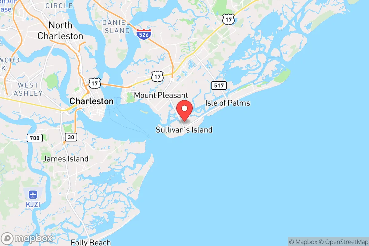
Strategic Assessment of Sullivan's Island, SC
Meaningful friction. Expect exposure to either population pressure, blast zones, or natural disaster risk. Consider buying a retreat property.
What does the Strategic Assessment tell us?
Our Strategic Assessment grades tactical survivability of an area. Major population centers, military targets, fallout zones, natural disasters, and border exposure all drive risk — lower exposure means a more defensible position in a crisis.
This is heavily inspired by Joel Skousen's Strategic Relocation book. Highly recommended you checkout the book ($)What does this tell us?
Our Strategic Assessment grades tactical survivability of an area. Major population centers, military targets, fallout zones, natural disasters, and border exposure all drive risk — lower exposure means a more defensible position in a crisis.
This is heavily inspired by Joel Skousen's Strategic Relocation book. Highly recommended you checkout the book ($)Strategic Pillars

Key Distances
Regional Safe Places
Below is our recommended "safe zones" in South Carolina and the surrounding area based on our strategic heuristics. For most people, it's unrealistic to live in a “safe zone” full-time due to work, family or other personal reasons. They tend to be more rural. However, many of these areas are perfect for second homes and retreat properties that double as a vacation home or even a short-term rental.


Important Note: For informational purposes only. This does not mean nothing bad ever happens in the green zones. Please use common sense. This is based on public data and modeled with AI. We tried to take a conservative approach but mistakes happen. We update this regularly as new information becomes available.
Solar Generator Recommendations
Backup power matters more here than in safer locations. We've picked three solar generators across budgets and capacity tiers — start with the budget unit if you only need a few essentials, or step up if you want to run a fridge and HVAC for days at a time.

Jackery Portable Power Station Explorer 300
Budget OptionPower on the Go: Weighing only 11 lbs, it's convenient to set up and store with book-sized foldable solar panels

BLUETTI Portable Power Station AC180
Designed for both indoor and outdoor scenarios, AC180 is highly capable as it has a robost capacity and continuous output power.

EF ECOFLOW DELTA Pro Ultra Power Station
Upgraded PickEcoFlow DELTA Pro Ultra is a whole-home energy system designed to grow with your family. Integrated with the Smart Home Panel 2, it scales to meet your evolving energy needs — keeping your home powered, intelligent, and secure through every stage of life.
We earn a commission, at no additional cost to you.
Strategic Assessment Analysis
Sullivan’s Island, South Carolina, presents a paradox for the strategic relocator: it offers exceptional natural resilience and a tight-knit community, but its location carries significant exposure risks that demand careful consideration. Positioned at the northern entrance to Charleston Harbor, this barrier island is a literal first line of defense against Atlantic storms, yet its proximity to a major metropolitan area and critical infrastructure creates a complex trade-off between isolation and vulnerability. For those prioritizing self-sufficiency and security in an era of increasing uncertainty, Sullivan’s Island is not a retreat—it’s a forward operating base with both advantages and liabilities that must be weighed with precision.
Geographic position and natural defensive advantages
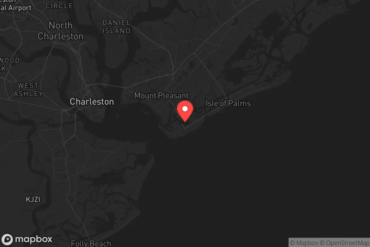
Sullivan’s Island sits roughly six miles east of downtown Charleston, connected to the mainland by the Ben Sawyer Bridge and the Isle of Palms Connector. This limited access is a double-edged sword: it provides a natural chokepoint for controlling movement onto the island, but it also creates a single-point-of-failure vulnerability if those bridges are compromised. The island itself is roughly three miles long and a half-mile wide, with a population of just under 2,000 year-round residents. Its low density means fewer people to compete with for resources in a crisis, but its small footprint limits the ability to sustain a large population without external supply lines. The island’s elevation averages 10 feet above sea level, which is modest but provides some buffer against storm surge compared to lower-lying areas like nearby Folly Beach. The Atlantic Ocean to the east and the Intracoastal Waterway to the west create a natural moat, making the island inherently defensible against ground-based threats. However, that same geography makes evacuation difficult—there are only two road exits, both of which can become gridlocked in a hurry. For the prepper, this means the island is best suited for those who plan to hunker down rather than bug out, as leaving in a hurry is not a reliable option.
Risks, exposures, and proximity to fallout-relevant landmarks
The most glaring vulnerability for Sullivan’s Island is its proximity to Charleston, a city of roughly 150,000 that swells to over 800,000 in the metro area. In a scenario involving civil unrest, mass casualty events, or a breakdown of social order, the island’s bridges become both a lifeline and a liability. A determined mob or a coordinated attack could easily block access, turning the island into a trap. Worse, the island sits within 10 miles of the Charleston Naval Weapons Station, a major U.S. Navy installation that stores conventional munitions and supports submarine operations. While this base is a strategic asset for national defense, it also makes the area a high-priority target for any adversary seeking to disrupt military logistics. A conventional strike, a cyberattack on the power grid serving the base, or even a terrorist event at the facility could have cascading effects on the surrounding region. Additionally, the Port of Charleston, one of the busiest container ports on the East Coast, lies just 12 miles southwest. In a wartime or economic collapse scenario, that port becomes a chokepoint for the entire Southeast—and a likely flashpoint for conflict. The island’s exposure to hurricanes is also non-trivial: the National Hurricane Center’s historical tracks show the Charleston area has a 1-in-10 annual chance of a direct hurricane hit, with storm surges of 10-15 feet possible. For the survivalist, these risks mean that any preps must account for both natural and man-made cascading failures, with a heavy emphasis on redundancy in communications, power, and water.
Practical resilience for a relocator: food, water, energy, and defensibility
For those committed to making Sullivan’s Island work, the practicalities of daily survival require a hard-nosed assessment. Fresh water is the most immediate concern: the island relies entirely on the Charleston Water System, which draws from the Edisto River and the Bushy Park Reservoir. A disruption to that system—whether from a cyberattack, a chemical spill, or a natural disaster—would leave residents without potable water within hours. Rainwater catchment is viable given the region’s 48 inches of annual rainfall, but storage space is limited on small lots. A 1,000-gallon cistern, combined with a Berkey or similar gravity filter, would provide a 30-day supply for a family of four. Food storage is more manageable: the island has no grocery store, so residents must stockpile or rely on deliveries from the mainland. A six-month supply of freeze-dried meals, grains, and canned goods is the baseline recommendation. Energy is a mixed bag. The grid is served by Dominion Energy, which has a decent reliability record but is vulnerable to storm damage and cyber threats. Solar panels are feasible—the island gets 215 sunny days per year—but homeowners’ associations and historic district regulations can restrict installations. A generator with a 50-amp inlet and a 100-gallon propane tank is a more practical backup, though fuel resupply after a disaster could be problematic. Defensibility is the island’s strongest suit. The limited access points mean a small, organized group could secure the bridges with minimal manpower. The island’s layout—a single main road (Middle Street) with dead-end side streets—makes it easy to establish checkpoints and patrol routes. However, the lack of natural cover (the island is mostly flat with sparse tree cover) means that any defender would be exposed to fire from the water or air. For the single individual or family, the key is to build relationships with neighbors before a crisis, as mutual aid is the only realistic way to maintain security over the long term.
The overall strategic picture for Sullivan’s Island is one of calculated risk. It offers a defensible, low-density environment with natural barriers and a community that, while not overtly prepper-oriented, is accustomed to self-reliance due to its island geography. But the proximity to Charleston, the naval weapons station, and the port creates a high probability of being caught in the crossfire of larger events. For the relocator who values isolation and is willing to invest in robust preps—especially water storage, off-grid power, and community networking—Sullivan’s Island can be a viable base of operations. For those seeking a true retreat far from population centers and strategic targets, the risks likely outweigh the rewards. The island is best suited for the strategic thinker who understands that resilience is not about avoiding danger, but about managing exposure—and who is prepared to make hard trade-offs between convenience and security.
* Values derived from national, state, county, city and local statistics and may differ in a specific area. Last updated: 2026-04-23T03:05:32.000Z
Narrative content on this page is AI-generated and may contain mistakes. Verify any details that matter before acting on them.
ReloMaps may earn a commission from affiliate links at no extra cost to you.