Photo: Wikipedia
Strategic Assessment of Syracuse, UT
Workable tactical position. Some exposure to population density or targets, but generally defensible in a crisis.
What does the Strategic Assessment tell us?
Our Strategic Assessment grades tactical survivability of an area. Major population centers, military targets, fallout zones, natural disasters, and border exposure all drive risk — lower exposure means a more defensible position in a crisis.
This is heavily inspired by Joel Skousen's Strategic Relocation book. Highly recommended you checkout the book ($)What does this tell us?
Our Strategic Assessment grades tactical survivability of an area. Major population centers, military targets, fallout zones, natural disasters, and border exposure all drive risk — lower exposure means a more defensible position in a crisis.
This is heavily inspired by Joel Skousen's Strategic Relocation book. Highly recommended you checkout the book ($)Strategic Pillars

Key Distances
Regional Safe Places
Below is our recommended "safe zones" in Utah and the surrounding area based on our strategic heuristics. For most people, it's unrealistic to live in a “safe zone” full-time due to work, family or other personal reasons. They tend to be more rural. However, many of these areas are perfect for second homes and retreat properties that double as a vacation home or even a short-term rental.


Important Note: For informational purposes only. This does not mean nothing bad ever happens in the green zones. Please use common sense. This is based on public data and modeled with AI. We tried to take a conservative approach but mistakes happen. We update this regularly as new information becomes available.
Solar Generator Recommendations
Backup power matters more here than in safer locations. We've picked three solar generators across budgets and capacity tiers — start with the budget unit if you only need a few essentials, or step up if you want to run a fridge and HVAC for days at a time.

Jackery Portable Power Station Explorer 300
Budget OptionPower on the Go: Weighing only 11 lbs, it's convenient to set up and store with book-sized foldable solar panels

BLUETTI Portable Power Station AC180
Designed for both indoor and outdoor scenarios, AC180 is highly capable as it has a robost capacity and continuous output power.

EF ECOFLOW DELTA Pro Ultra Power Station
Upgraded PickEcoFlow DELTA Pro Ultra is a whole-home energy system designed to grow with your family. Integrated with the Smart Home Panel 2, it scales to meet your evolving energy needs — keeping your home powered, intelligent, and secure through every stage of life.
We earn a commission, at no additional cost to you.
Strategic Assessment Analysis
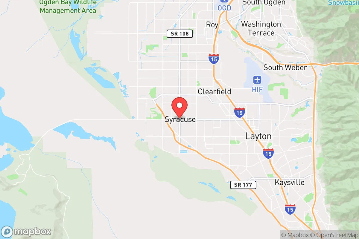
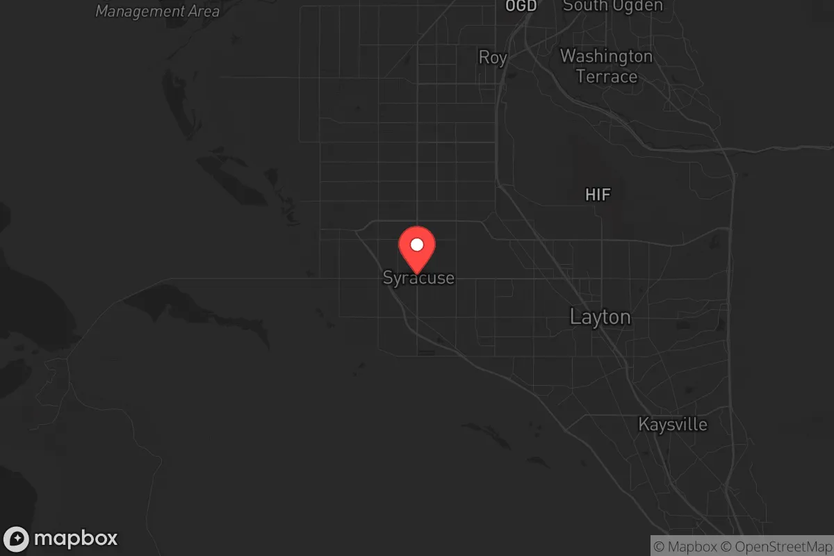
Syracuse, Utah, offers a surprisingly resilient strategic position for those prioritizing preparedness and self-reliance, sitting at the northern edge of Davis County where the Wasatch Front narrows between the Great Salt Lake and the Wasatch Mountains. Its location provides a natural buffer from the densest urban corridors of Salt Lake City to the south and Ogden to the north, while still allowing access to critical supply routes and regional resources. For a relocator with a survivalist mindset, Syracuse’s blend of suburban infrastructure, limited choke points, and proximity to open land makes it a defensible base of operations—provided you understand the risks baked into its geography and regional dependencies.
Geographic position and natural advantages for long-term security
Syracuse sits on a narrow bench of land between the Great Salt Lake’s eastern shore and the foothills of the Wasatch Range, a geography that inherently limits approach vectors. The only major north-south corridors are I-15 and Legacy Parkway, both of which can be monitored or controlled with relative ease during civil unrest—a double-edged sword that also restricts your own mobility. The nearby Antelope Island causeway and the Promontory Point route offer secondary egress options into less populated Box Elder County, though these are single-lane bottlenecks. The Great Salt Lake itself acts as a natural barrier to the west, meaning any threat from that direction is improbable, and the mountains to the east provide defensible high ground for observation or retreat. The area’s elevation (around 4,300 feet) and semi-arid climate reduce risks from hurricanes, flooding, and dense vegetation fires, though wildfire danger in the foothills is real during dry summers. Syracuse’s position also places it within a 30-minute drive of Hill Air Force Base, a strategic military asset that could become a stabilization point or a target depending on the scenario—worth noting for anyone mapping fallout zones and security perimeters.
Risks, exposures, and proximity to fallout-relevant landmarks
No strategic assessment is honest without acknowledging the liabilities. Syracuse is roughly 30 miles north of Salt Lake City’s urban core and 10 miles south of Ogden, placing it within the blast and fallout radius of any major attack on those population centers. Hill Air Force Base, just 8 miles southeast, is a high-value target for any adversary—its nuclear weapons storage and maintenance facilities make it a primary fallout source. The nearby Kennecott copper mine and the Tooele Army Depot (chemical weapons storage) are additional hazards, though prevailing winds typically carry fallout eastward into the Uinta Basin rather than north toward Syracuse. The Wasatch Front’s seismic risk is also significant: the Wasatch Fault runs directly through the region, and a major earthquake (magnitude 7.0 or greater) would likely collapse I-15 bridges, rupture natural gas lines, and disrupt water supplies for weeks. For the prepper, this means your bug-out plan must account for road failures, not just traffic. The concentration of refineries along the Salt Lake City–North Salt Lake corridor (about 20 miles south) introduces chemical release risks during any disaster, and prevailing southwesterly winds could push toxic plumes toward Syracuse in a worst-case scenario.
Practical resilience for a relocator: food, water, energy, and defensibility
Water is Syracuse’s most critical vulnerability. The city relies on the Weber Basin Water Conservancy District and local wells, but the region is in a long-term drought cycle, and the Great Salt Lake’s shrinking levels signal systemic water stress. A relocator should plan for at least 30 days of stored water per person, plus a Berkey or similar gravity filter for local sources—the lake itself is too saline for treatment, but mountain streams east of I-15 (like those in the Wasatch-Cache National Forest) are viable. Food security is better than most suburban areas: Syracuse is surrounded by agricultural land in Weber and Box Elder counties, and the city’s zoning still allows backyard chickens and small livestock in many residential areas. The local farmers’ market and nearby Bountiful’s year-round produce stands provide short-term supply lines, but long-term self-sufficiency requires a garden and seed bank. Energy resilience is mixed. Rocky Mountain Power’s grid is moderately reliable, but winter storms can knock out power for 24–48 hours. Solar panels are a solid investment here—Syracuse averages 225 sunny days per year—but homeowners associations (HOAs) in some subdivisions restrict panel placement, so check covenants before buying. Natural gas is the primary heating fuel, and a whole-house generator with a buried propane tank is a wise hedge against grid failure. Defensibility is where Syracuse shines: the city’s layout of cul-de-sacs and limited through streets creates natural neighborhood security perimeters. The Syracuse Police Department is responsive (non-emergency lines answered within minutes), but in a prolonged crisis, you’ll rely on mutual aid with neighbors. The local Church of Jesus Christ of Latter-day Saints wards have strong emergency preparedness networks—worth connecting with even if you’re not LDS, as they coordinate food storage and community response plans.
The overall strategic picture for Syracuse is one of calculated trade-offs. It offers a defensible geography, a resilient community culture, and proximity to military assets that could provide security in a collapse scenario—but it also sits within the shadow of high-value targets and a seismically active fault line. For the conservative prepper who values self-reliance, community cohesion, and a buffer from urban chaos, Syracuse is a strong candidate, provided you invest in water storage, seismic retrofitting, and a solid neighborhood watch. It’s not a remote bunker, but it’s a place where a prepared family can ride out most storms—natural or man-made—with a fighting chance. The key is to treat it as a base, not a fortress, and to have a secondary retreat in the Uinta Basin or northern Box Elder County if the worst unfolds.
* Values derived from national, state, county, city and local statistics and may differ in a specific area. Last updated: 2026-04-21T12:57:51.000Z
Narrative content on this page is AI-generated and may contain mistakes. Verify any details that matter before acting on them.
ReloMaps may earn a commission from affiliate links at no extra cost to you.