
Photo: Wikipedia
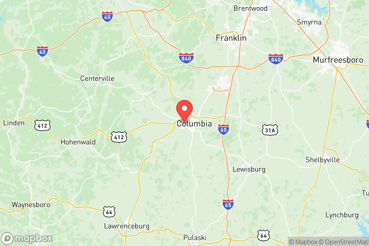
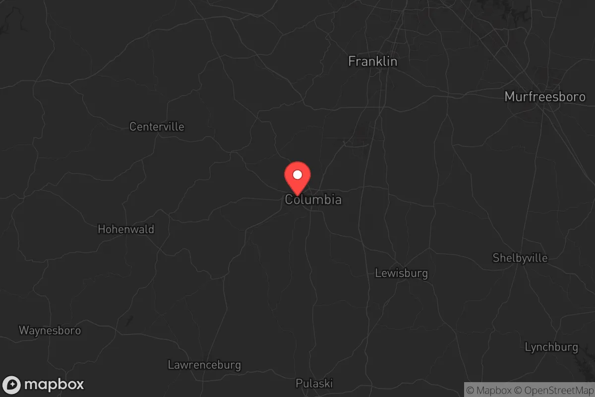
Strategic Assessment of Maury County
Workable tactical position. Some exposure to population density or targets, but generally defensible in a crisis.
What does the Strategic Assessment tell us?
Our Strategic Assessment grades tactical survivability of an area. Major population centers, military targets, fallout zones, natural disasters, and border exposure all drive risk — lower exposure means a more defensible position in a crisis.
This is heavily inspired by Joel Skousen's Strategic Relocation book. Highly recommended you checkout the book ($)What does this tell us?
Our Strategic Assessment grades tactical survivability of an area. Major population centers, military targets, fallout zones, natural disasters, and border exposure all drive risk — lower exposure means a more defensible position in a crisis.
This is heavily inspired by Joel Skousen's Strategic Relocation book. Highly recommended you checkout the book ($)Strategic Pillars

Key Distances
Strategic Assessment Analysis
Maury County, Tennessee, sits in a strategic sweet spot that resilience-minded relocators should take seriously: close enough to Nashville’s economic engine to sustain jobs and supply chains, but far enough—roughly 45 miles south—to avoid the urban core’s worst-case fallout, unrest, or infrastructure collapse. The county’s population of around 110,000 is spread across a mix of small towns like Columbia (the county seat), Spring Hill, and Mount Pleasant, giving it a rural-suburban character that supports both community cohesion and personal defensibility. Its location along Interstate 65 places it within a day’s drive of major logistical hubs like Huntsville, AL, and Chattanooga, while the Duck River watershed provides a reliable freshwater source that’s increasingly rare in the Southeast. For a conservative-leaning audience weighing long-term security, Maury County offers a balance of access and buffer that few Middle Tennessee counties can match.
Geographic position and natural advantages for long-term security
Maury County’s geography is its first line of defense. The Duck River, which flows through the heart of the county, is one of the most biodiverse rivers in North America and a reliable year-round water source that could sustain a community through extended grid-down scenarios. The county sits atop the Nashville Basin, a region of rolling hills and limestone bedrock that provides decent groundwater potential for wells—critical if municipal systems fail. The terrain is not mountainous, but it offers enough elevation changes and tree cover to create natural chokepoints and concealment for those with property in the more rural southern and western parts of the county, around places like Culleoka and Hampshire. The climate is temperate, with four distinct seasons and no hurricane storm surge risk, though tornadoes are a real threat—the county averages about 10 tornado warnings per year, so a reinforced safe room or basement should be non-negotiable for any relocator. The growing season runs roughly April through October, allowing for substantial food production on even modest acreage, and the soil in the Duck River valley is fertile enough for serious gardening or small-scale farming.
Risks, exposures, and proximity to fallout-relevant landmarks
No strategic assessment is honest without naming the liabilities. Maury County’s biggest exposure is its proximity to Nashville’s metropolitan area—a city of nearly 2 million people that would be a primary target for civil unrest, mass casualty events, or infrastructure attacks. In a worst-case scenario, refugees from Nashville could flood I-65 south, potentially overwhelming local resources. The county also sits within 100 miles of the Oak Ridge National Laboratory and the Y-12 National Security Complex, which are high-value targets for any adversary. A radiological or conventional strike on Oak Ridge could produce fallout patterns that might affect eastern Maury County depending on wind direction. Closer to home, the Tennessee Valley Authority’s coal and gas plants along the Cumberland River are industrial landmarks that could become secondary targets or fail during grid instability. The county itself has no major military bases, but Fort Campbell is about 90 miles west—close enough that military traffic and logistics could be disrupted in a crisis. On the plus side, Maury County has no major refineries, ports, or chemical corridors within its borders, which reduces the risk of localized industrial catastrophe. The biggest day-to-day hazard is the tornado risk, which is real but manageable with proper construction and planning.
Practical resilience for a relocator: food, water, energy, and defensibility
For someone looking to set up a resilient homestead or small community, Maury County offers a workable mix of resources and challenges. Water is the strongest asset: the Duck River and its tributaries provide surface water, and the underlying limestone aquifer is productive for wells—typical depths run 100-300 feet with decent yields. The county’s agricultural heritage means that rural properties often come with existing wells, ponds, or creek access. Food production is viable: the county has over 1,200 farms, and the local extension office supports small-scale livestock, poultry, and vegetable operations. Farmers markets in Columbia and Spring Hill are active, and the Maury County Farmers Cooperative in Columbia is a reliable source for feed, seed, and hardware. Energy resilience is middling: the grid is served by Duck River Electric Membership Corporation, a cooperative that has been stable but is still tied to the broader TVA system. Solar potential is decent—the region gets about 200 sunny days per year—but tree cover on many rural properties can limit panel placement. Propane and wood heating are common in rural areas, and there are several local suppliers for bulk fuel. Defensibility varies by location: properties in the outer townships like Hampshire or Culleoka offer more isolation and natural cover than those in the suburban sprawl of Spring Hill. The county’s topography is not mountainous, so you won’t get a high-ground fortress, but you can find parcels with creek boundaries, ridge lines, and limited road access. The local law enforcement presence is adequate—the Maury County Sheriff’s Office has about 80 sworn deputies—but in a widespread crisis, you’ll be relying on your own perimeter and community network. The county’s political culture is overwhelmingly conservative, with Trump winning 72% of the vote in 2024, which means a higher likelihood of neighbors who share your preparedness mindset and are willing to organize.
The overall strategic picture for Maury County is one of moderate-to-strong resilience with manageable trade-offs. It’s not a remote bunker location—you’re still within striking distance of Nashville and its associated risks—but it offers a realistic balance of access to resources, community, and defensible terrain that many preppers find more sustainable than deep wilderness retreats. The water availability alone puts it ahead of most counties in the arid West or the overdeveloped Piedmont. The key is to buy property with a reliable water source, build or retrofit for tornado resistance, and establish ties with like-minded locals before a crisis hits. If you’re looking for a place that can function as both a working homestead and a fallback position for a Nashville-area family, Maury County deserves a serious look—just don’t expect to be completely insulated from the chaos of the broader world. No place in the continental U.S. offers that anymore, but this county comes closer than most in the Mid-South.
* Values derived from national, state, county, city and local statistics and may differ in a specific area. Last updated: 2026-05-19T03:33:51.000Z
Narrative content on this page is AI-generated and may contain mistakes. Verify any details that matter before acting on them.
ReloMaps may earn a commission from affiliate links at no extra cost to you.