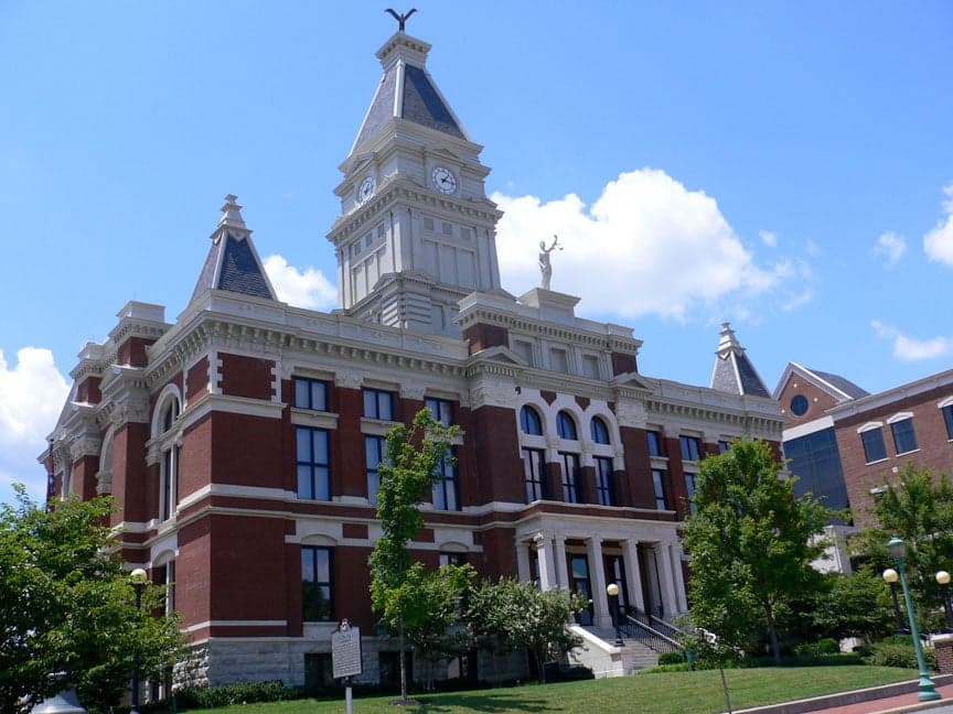
Photo: Wikipedia
Strategic Assessment of Montgomery County
Meaningful friction. Expect exposure to either population pressure, blast zones, or natural disaster risk. Consider buying a retreat property.
What does the Strategic Assessment tell us?
Our Strategic Assessment grades tactical survivability of an area. Major population centers, military targets, fallout zones, natural disasters, and border exposure all drive risk — lower exposure means a more defensible position in a crisis.
This is heavily inspired by Joel Skousen's Strategic Relocation book. Highly recommended you checkout the book ($)What does this tell us?
Our Strategic Assessment grades tactical survivability of an area. Major population centers, military targets, fallout zones, natural disasters, and border exposure all drive risk — lower exposure means a more defensible position in a crisis.
This is heavily inspired by Joel Skousen's Strategic Relocation book. Highly recommended you checkout the book ($)Strategic Pillars

Key Distances
Strategic Assessment Analysis
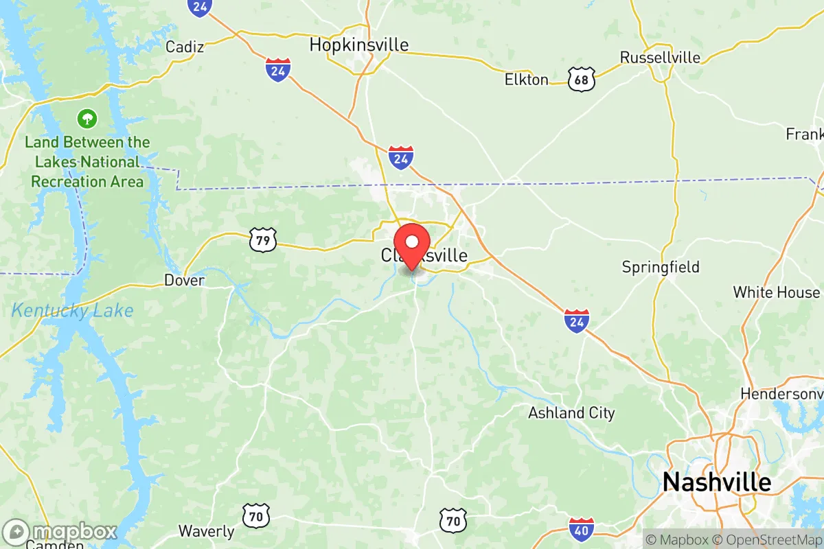
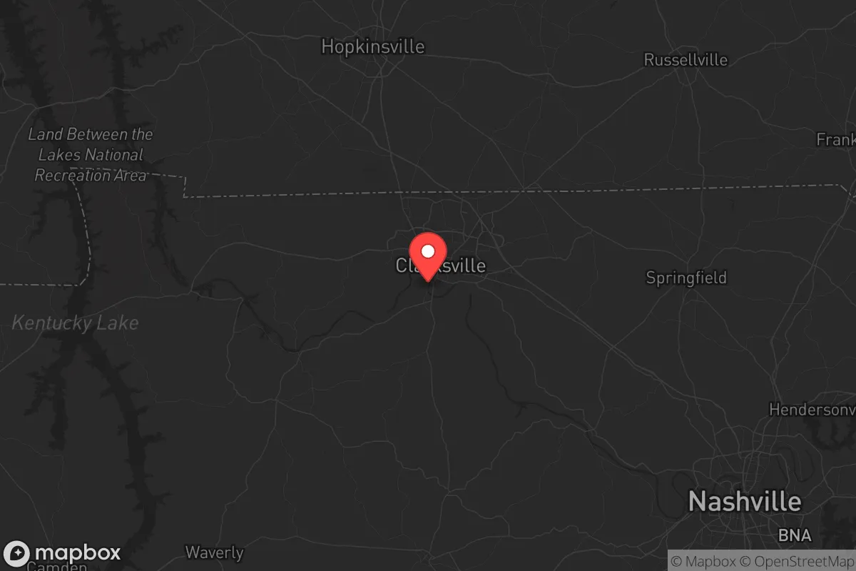
Montgomery County, Tennessee, presents a genuinely mixed bag for the strategic relocator—one that rewards careful, scenario-based thinking. Anchored by Clarksville and the sprawling Fort Campbell military installation, the county sits roughly 45 minutes northwest of Nashville along the Cumberland River corridor. That positioning gives you proximity to a major city for supply runs and medical access, but it also means you're close enough to feel the shockwaves if things go sideways in a metro area. The presence of a major Army post is the single biggest variable here: it can be a security asset, a target, or both, depending on the nature of the crisis. For the conservative-minded prepper weighing stability, autonomy, and risk, Montgomery County demands a clear-eyed look at what's actually on the ground.
Where Montgomery County sits: geographic position and natural advantages
Montgomery County occupies the northern tier of Middle Tennessee, sharing a border with Kentucky. The Cumberland River cuts through the county, providing a reliable surface water source and a natural travel corridor that predates the interstates. The terrain is rolling hills and mixed hardwood forest—nothing dramatic, but enough to offer visual screening and defensible positions if you pick your parcel wisely. To the north, Land Between the Lakes National Recreation Area sits about an hour's drive away, offering 170,000 acres of public land for hunting, fishing, and timber resources. That's a serious buffer zone and a potential fallback area if things get tight. The county also has substantial agricultural land, particularly in the eastern and southern parts around Woodlawn and Cunningham, where you'll find working farms and open acreage that hasn't been swallowed by Clarksville's suburban sprawl. The climate is four-season temperate—hot summers, cold winters, but nothing extreme enough to shut you down. You can grow food, raise livestock, and harvest firewood without fighting desert or permafrost. From a pure geography standpoint, this is a region that supports a self-sufficient lifestyle better than most suburban rings around major Southern cities.
Risks, exposures, and proximity to fallout-relevant landmarks
Here's where the analysis gets uncomfortable, and it's why Montgomery County isn't a slam-dunk recommendation. Fort Campbell is home to the 101st Airborne Division and roughly 30,000 active-duty personnel. In any major conflict—especially one involving a peer adversary—that installation becomes a high-value target for conventional or asymmetric attack. You don't need to imagine a nuclear strike to see the problem; a cyber attack on the base's infrastructure, a drone incursion, or a coordinated sabotage event could ripple through the local power grid, water supply, and emergency services. The base also means a large transient population with varying levels of local commitment, which can complicate community cohesion in a prolonged crisis. Then there's Nashville, sitting 45 minutes southeast via I-24. That highway is a double-edged sword: it's your route to supplies and medical care in normal times, but it's also the primary evacuation chokepoint if something happens in the city. In a mass casualty event or civil unrest scenario, expect I-24 to become impassable within hours. The Cumberland River itself poses a flood risk in low-lying areas near Clarksville and Palmyra—the 2010 flood demonstrated that the river can rise fast and cover a lot of ground. On the positive side, there are no major refineries, chemical plants, or nuclear facilities within the county. The nearest nuclear plant is the Tennessee Valley Authority's Cumberland facility in Stewart County, about 40 miles west—close enough to note, but not close enough to be a primary concern for fallout in most scenarios. The absence of heavy industrial targets within the county itself is a meaningful advantage.
Practical resilience for a relocator: food, water, energy, and defensibility
If you're looking to put down roots with a prepper mindset, the practical details matter more than the macro picture. On water: the Cumberland River is a major asset, but you don't want to rely on surface water without treatment. The good news is that much of the rural parts of the county—especially around Cunningham and Woodlawn—have decent groundwater potential. Wells are common, and the water table is generally accessible at moderate depths. If you're buying land, a well survey should be non-negotiable. On food: the agricultural base is real. You'll find local farms selling beef, poultry, eggs, and produce at roadside stands and the Clarksville Farmers Market. The growing season runs from April through October, and you can put in a serious garden or small orchard. For long-term storage, the climate is humid, so you'll need proper root cellaring or climate-controlled storage—this isn't the arid West where you can stash grain in a shed. On energy: the grid is served by the Tennessee Valley Authority, which is reliable but vulnerable to both cyber attack and physical sabotage. Solar is viable—the region gets about 200 sunny days per year—but you'll want battery storage and a backup generator for the cloudy stretches. Propane is widely available and a solid choice for heating and cooking off-grid. On defensibility: the terrain offers natural chokepoints in the hills and hollows east of Clarksville. A property with a long driveway, tree cover, and a clear view of approach routes is achievable at reasonable prices. The county is growing fast—Clarksville added over 20,000 residents between 2010 and 2020—so land values are rising, but you can still find 5- to 20-acre parcels in the $5,000–$10,000 per acre range if you're willing to be 20–30 minutes from town. That's a solid buy for the strategic relocator who wants space without being completely isolated.
The overall strategic picture for Montgomery County is one of calculated trade-offs. You get a defensible, resource-rich environment with good water, decent soil, and proximity to a major public land buffer in Land Between the Lakes. You also get the elevated risk profile that comes with living near a major military installation and a growing mid-sized city. For the relocator who values access to infrastructure and community but is willing to invest in hard prep—wells, solar, food storage, and a solid retreat plan—this county offers a viable middle path. It's not the remote redoubt that some preppers seek, but it's also not the suburban powder keg that places closer to Nashville or Atlanta have become. If you understand the risks and build accordingly, Montgomery County can work as a long-term base of operations. Just don't kid yourself about what Fort Campbell means on the map.
* Values derived from national, state, county, city and local statistics and may differ in a specific area. Last updated: 2026-05-12T12:12:40.000Z
Narrative content on this page is AI-generated and may contain mistakes. Verify any details that matter before acting on them.
ReloMaps may earn a commission from affiliate links at no extra cost to you.