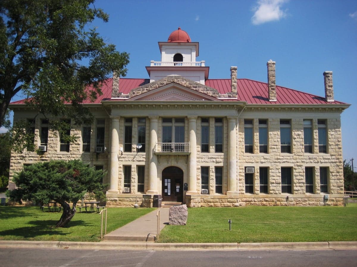
Photo: Wikipedia
Strategic Assessment of Blanco County
Workable tactical position. Some exposure to population density or targets, but generally defensible in a crisis.
What does the Strategic Assessment tell us?
Our Strategic Assessment grades tactical survivability of an area. Major population centers, military targets, fallout zones, natural disasters, and border exposure all drive risk — lower exposure means a more defensible position in a crisis.
This is heavily inspired by Joel Skousen's Strategic Relocation book. Highly recommended you checkout the book ($)What does this tell us?
Our Strategic Assessment grades tactical survivability of an area. Major population centers, military targets, fallout zones, natural disasters, and border exposure all drive risk — lower exposure means a more defensible position in a crisis.
This is heavily inspired by Joel Skousen's Strategic Relocation book. Highly recommended you checkout the book ($)Strategic Pillars

Key Distances
Strategic Assessment Analysis
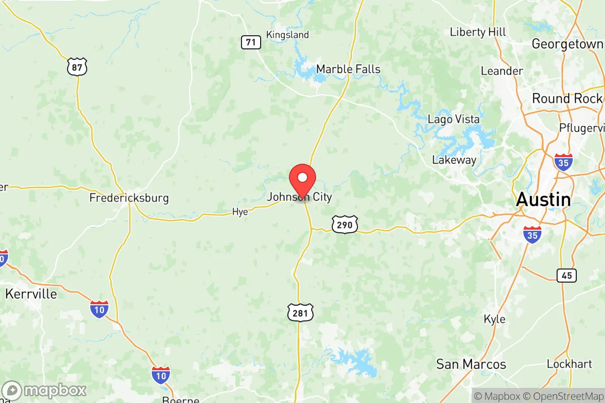
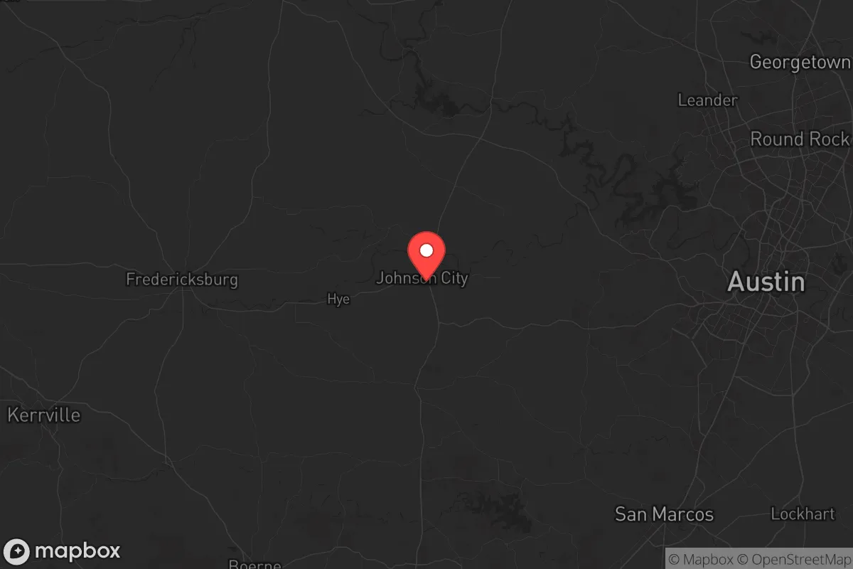
Blanco County, Texas, sits in a sweet spot that few relocators fully appreciate until they’ve mapped the fallout zones and traffic chokepoints. It’s far enough from the major metro blast radii to offer genuine breathing room, yet close enough to Austin and San Antonio that supply runs and specialty medical care aren’t week-long expeditions. The county’s resilience comes down to simple geography: you’re outside the likely primary target rings, but you’re not so remote that you’re isolated from logistics or mutual-aid networks. For a conservative-leaning individual or family thinking about long-term preparedness, this isn’t just a pretty Hill Country postcard—it’s a strategic buffer zone with real defensive depth.
Geographic position and natural advantages for long-term security
Blanco County anchors the eastern edge of the Texas Hill Country, roughly midway between Austin and Fredericksburg. The county seat, Johnson City, sits about 45 miles west of Austin’s downtown core—outside the likely thermal pulse and overpressure zone of a major nuclear detonation on the capital, but close enough that you could still stage recovery operations or link up with dispersed networks. The terrain itself is a major asset: rolling limestone hills, cedar breaks, and spring-fed creeks create natural defilade and multiple covered approach routes. The Pedernales River cuts through the southern half of the county, providing a reliable surface water source that’s less likely to be contaminated by upstream industrial runoff than the Colorado or Brazos. Blanco, the county’s largest town, is tucked into a valley with only a few paved roads in and out—easy to monitor, hard to flank. For a prepper, that kind of terrain offers both concealment and chokepoint control without the oppressive isolation of far West Texas.
Risks, exposures, and proximity to fallout-relevant landmarks
No place in the continental US is truly safe from overflight fallout or secondary effects, but Blanco County’s risk profile is manageable if you understand the vectors. The most concerning nearby target is Fort Cavazos (formerly Fort Hood), about 90 miles north-northeast in Bell County. That’s a major power-projection hub with III Corps headquarters, aviation assets, and a massive ammunition storage footprint. A strike on Cavazos would send fallout drifting southeast with prevailing winds—meaning Blanco County sits in a secondary contamination zone, not a primary kill zone. You’d need to monitor wind direction and have a basement or interior shelter plan for the first 48 hours. Closer in, the Fayette Power Project (a coal plant near La Grange) and the South Texas Nuclear Generating Station near Bay City are both far enough away that a conventional or radiological incident wouldn’t directly threaten Blanco County, but they’re worth noting for secondary effects like grid instability or evacuation surges. The real risk here isn’t a direct hit—it’s the refugee flow from Austin and San Antonio. If I-35 gets locked up or a major event empties the metros, US-281 and TX-290 become chokepoints. Blanco County’s road network is sparse: only two primary north-south routes (US-281 and RM 2325) and one east-west artery (TX-290). A savvy relocator should pre-position caches and alternate routes that avoid those bottlenecks.
Practical resilience for a relocator: food, water, energy, and defensibility
Water is the first thing to lock down in Blanco County. The Pedernales River and its tributaries (Miller Creek, Blanco River) are perennial but subject to drought drawdowns. The county sits over the Trinity Aquifer, which is shallower and more vulnerable to contamination than the Edwards, but private wells are common and can be drilled to 200-400 feet for reliable yield. For a family, a well with a hand pump or solar submersible is non-negotiable. Food production is viable: the growing season runs 240+ days, and the limestone soil, while rocky, supports native pecans, blackberries, and drought-hardy vegetables. Game is abundant—white-tailed deer, feral hogs, turkey, and dove. The county has a small but active ranching community, so networking with local producers for barter or bulk meat is realistic. Energy-wise, the area gets 260+ sunny days per year, making solar a solid primary source. Wind is less reliable in the Hill Country than on the plains, but small vertical-axis turbines can supplement. Grid power is served by Pedernales Electric Cooperative, which has a decent outage-repair record but is vulnerable to ice storms and summer demand spikes. Defensibility is where Blanco County shines: the terrain limits line-of-sight, and most properties are set back from main roads. A rural parcel with a long gravel driveway, a creek crossing, and a hilltop view gives you both early warning and standoff. The county’s population density is about 18 people per square mile—low enough that you’re not dealing with nosey neighbors, but high enough that you can form a mutual-assistance group without driving an hour.
The overall strategic picture for Blanco County is one of calculated trade-offs. You’re trading the absolute isolation of, say, the Big Bend region for better access to medical care, hardware stores, and secondary markets. You’re trading the defensive depth of the Rockies for a climate that won’t kill you with winter exposure and a growing season that actually produces calories. The county’s conservative political leanings (Blanco County voted +38 points Republican in 2024) mean local governance is generally aligned with property rights, low regulation, and Second Amendment protections—no small thing when you’re trying to stockpile supplies or build a berm without a permitting nightmare. The downsides are real: wildfire risk in dry years, the occasional flash flood along creek bottoms, and the fact that you’re still within a day’s drive of two major metro areas that could become humanitarian crises overnight. But if you’re looking for a base that balances proximity to infrastructure with genuine survivability, Blanco County is one of the better bets in Central Texas. Map your water sources, know your wind patterns, and make friends with the ranchers before you need them.
* Values derived from national, state, county, city and local statistics and may differ in a specific area. Last updated: 2026-06-07T17:41:09.000Z
Narrative content on this page is AI-generated and may contain mistakes. Verify any details that matter before acting on them.
ReloMaps may earn a commission from affiliate links at no extra cost to you.