Photo: Wikipedia
Strategic Assessment of Ector County
Workable tactical position. Some exposure to population density or targets, but generally defensible in a crisis.
What does the Strategic Assessment tell us?
Our Strategic Assessment grades tactical survivability of an area. Major population centers, military targets, fallout zones, natural disasters, and border exposure all drive risk — lower exposure means a more defensible position in a crisis.
This is heavily inspired by Joel Skousen's Strategic Relocation book. Highly recommended you checkout the book ($)What does this tell us?
Our Strategic Assessment grades tactical survivability of an area. Major population centers, military targets, fallout zones, natural disasters, and border exposure all drive risk — lower exposure means a more defensible position in a crisis.
This is heavily inspired by Joel Skousen's Strategic Relocation book. Highly recommended you checkout the book ($)Strategic Pillars

Key Distances
Strategic Assessment Analysis
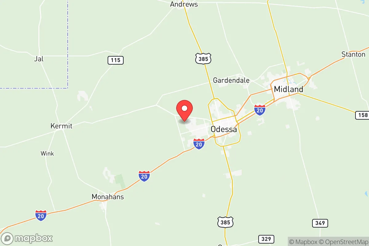
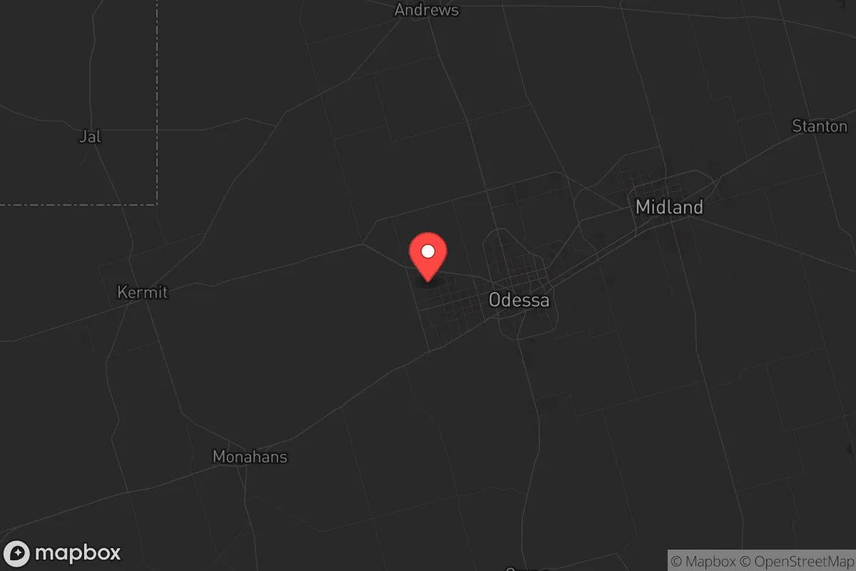
Ector County, anchored by Odessa in the heart of the Permian Basin, offers a strategic relocation option for those prioritizing economic resilience and geographic isolation from major metropolitan fallout zones. Its position roughly 300 miles west of the Dallas-Fort Worth metroplex and 350 miles northwest of Houston places it well outside the immediate blast and fallout radius of those high-value targets, while its status as the epicenter of American energy production provides a built-in economic buffer against national disruptions. For a single individual or family weighing disaster readiness alongside daily livability, Ector County presents a trade-off: extreme economic self-sufficiency paired with significant industrial and environmental exposure that demands careful, on-the-ground preparation.
Geographic position and natural advantages for long-term stability
Ector County sits on the southern High Plains, a landscape defined by flat, semi-arid terrain that offers clear sightlines and limited natural cover—a mixed blessing for strategic defense. The county's primary geographic advantage is its distance from the nation's most likely strategic targets: it is over 200 miles from any major military installation like Fort Hood (now Fort Cavazos) or the Red River Army Depot, and well outside the primary fallout corridors that would affect cities like Dallas, Houston, or San Antonio. The local climate is dry, with average annual rainfall under 15 inches, which reduces the risk of flood-related infrastructure failure and mold-related property damage—a practical concern for long-term food and equipment storage. The flat terrain also simplifies solar panel placement and rainwater catchment, though the lack of natural water bodies means residents must rely entirely on groundwater or municipal supplies. The county's position along Interstate 20 provides a direct east-west evacuation route toward New Mexico or the Trans-Pecos region, while U.S. Highway 385 offers a north-south corridor toward the Texas Panhandle, giving relocators multiple exit options in a crisis scenario.
Risks, exposures, and proximity to fallout-relevant industrial landmarks
The most significant strategic vulnerability in Ector County is its industrial density: the county sits at the center of the Permian Basin oil and gas fields, with over 30,000 active wells and hundreds of processing plants, refineries, and storage facilities within a 50-mile radius. The Odessa-Midland metropolitan area itself contains multiple natural gas processing plants, including the Targa Resources and DCP Midstream facilities, which could become secondary targets or sources of industrial accidents during a broader conflict. The county is also home to the University of Texas Permian Basin, a minor educational institution that is unlikely to be a primary target but could become a staging area for emergency response. The proximity to the Strategic Petroleum Reserve's Bryan Mound site near Freeport is over 400 miles away, but the concentration of energy infrastructure in the Permian Basin makes the region a plausible secondary target in a conflict aimed at crippling U.S. fuel production. Additionally, the county lies within the "Permian Basin seismic zone," experiencing frequent minor earthquakes (typically magnitude 2-3) linked to wastewater injection from oil operations—a chronic risk that can damage foundations and water wells over time. The flat terrain offers no natural shielding from fallout, meaning residents would need to rely on basement shelters or purpose-built safe rooms, which are uncommon in the region's typical slab-on-grade construction.
Practical resilience for a relocator: food, water, energy, and defensibility
Ector County's practical resilience is a mixed picture. On the positive side, the local energy industry means that natural gas and electricity are abundant and relatively cheap—the county is served by the Oncor Electric Delivery grid, which is less prone to the rolling blackouts seen in other parts of Texas during extreme weather events. Water, however, is a critical concern: the county relies on the Ogallala Aquifer and the Colorado River Municipal Water District, both of which face long-term depletion pressures. A relocator would need to budget for a private well (typical depth 200-400 feet, costing $15,000-$30,000) or a substantial rainwater catchment system (minimum 5,000 gallons of storage for a family of four). Food resilience is limited by the semi-arid climate—traditional gardening requires irrigation, though drought-tolerant crops like black-eyed peas, okra, and certain melons can succeed with careful management. Local grocery options are dominated by chain stores (Walmart, Albertsons, United Supermarkets), but the county has a growing network of farmers' markets and local meat producers, including the Ector County Livestock Show and Rodeo network. Defensibility is challenging due to the open terrain: a rural property with a long driveway and clear sightlines offers some advantage, but the lack of natural chokepoints means a determined group would have few obstacles. The county's law enforcement presence is concentrated in Odessa (population ~120,000), leaving rural areas with response times of 20-40 minutes. For a relocator serious about self-sufficiency, the practical play is to buy land at least 15 miles outside Odessa—toward Goldsmith or Penwell—where property taxes are lower (Ector County's effective rate is roughly 2.5% of assessed value) and neighbors are sparse enough to reduce competition for resources.
The overall strategic picture for Ector County is one of high economic resilience paired with moderate-to-high physical risk. The area's energy wealth and distance from major population centers make it a viable base for someone who wants to be insulated from national supply chain disruptions and urban collapse scenarios. However, the industrial concentration, water scarcity, and seismic activity mean that a relocator cannot simply show up and expect to thrive—they must invest in water independence, structural reinforcement, and a solid emergency plan. For the conservative-leaning reader who values self-reliance and is willing to put in the work, Ector County offers a realistic, if imperfect, foundation for long-term stability. The key is to treat the move as a deliberate strategic decision, not a casual lifestyle choice: buy the land, drill the well, build the shelter, and accept that the same industry that provides your economic buffer also creates your primary exposure.
* Values derived from national, state, county, city and local statistics and may differ in a specific area. Last updated: 2026-06-09T01:27:21.000Z
Narrative content on this page is AI-generated and may contain mistakes. Verify any details that matter before acting on them.
ReloMaps may earn a commission from affiliate links at no extra cost to you.