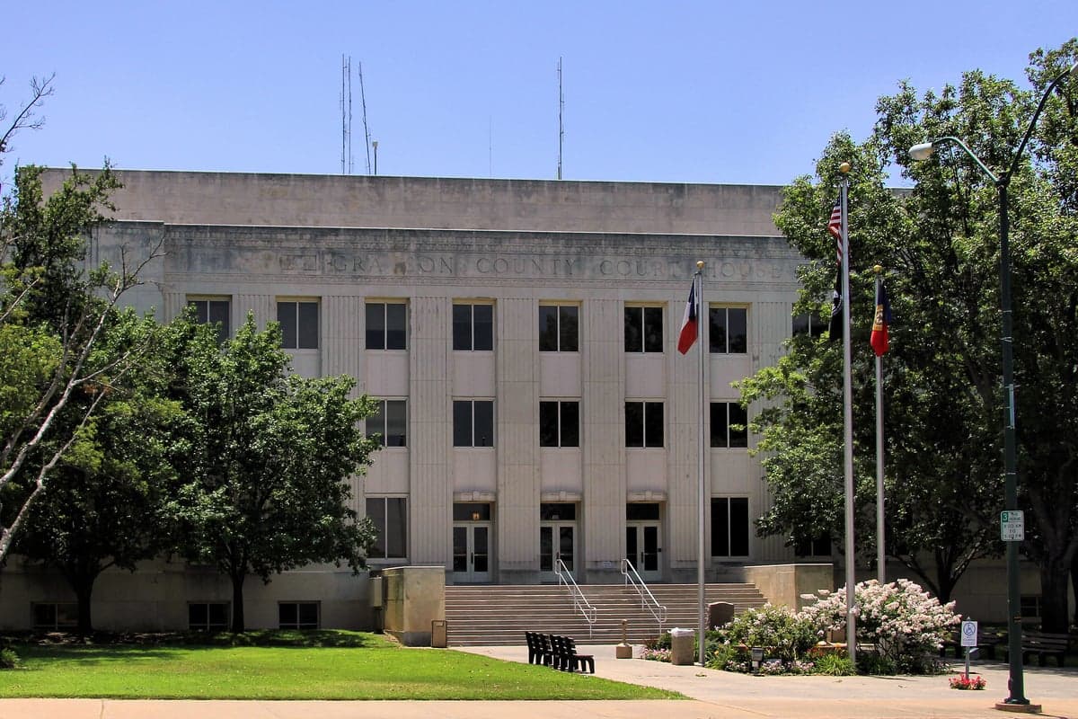
Photo: Wikipedia
Strategic Assessment of Grayson County
Meaningful friction. Expect exposure to either population pressure, blast zones, or natural disaster risk. Consider buying a retreat property.
What does the Strategic Assessment tell us?
Our Strategic Assessment grades tactical survivability of an area. Major population centers, military targets, fallout zones, natural disasters, and border exposure all drive risk — lower exposure means a more defensible position in a crisis.
This is heavily inspired by Joel Skousen's Strategic Relocation book. Highly recommended you checkout the book ($)What does this tell us?
Our Strategic Assessment grades tactical survivability of an area. Major population centers, military targets, fallout zones, natural disasters, and border exposure all drive risk — lower exposure means a more defensible position in a crisis.
This is heavily inspired by Joel Skousen's Strategic Relocation book. Highly recommended you checkout the book ($)Strategic Pillars

Key Distances
Strategic Assessment Analysis
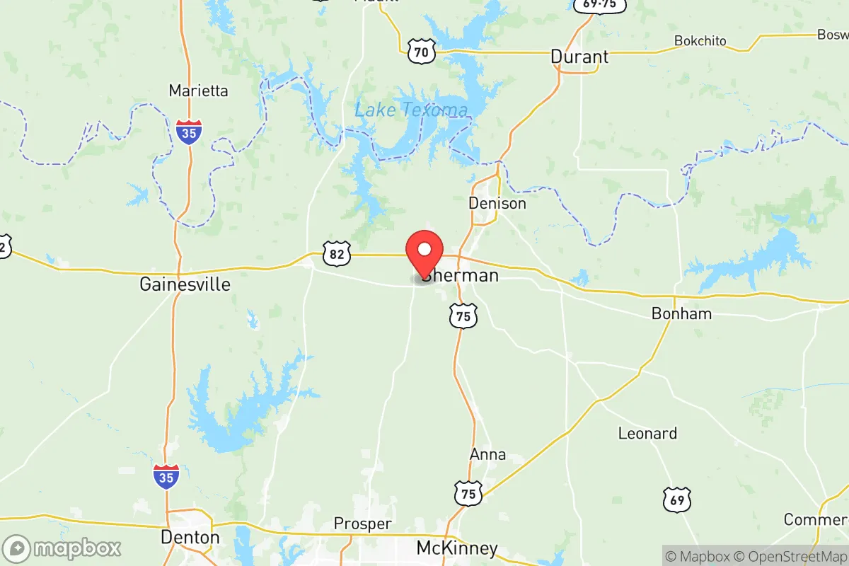
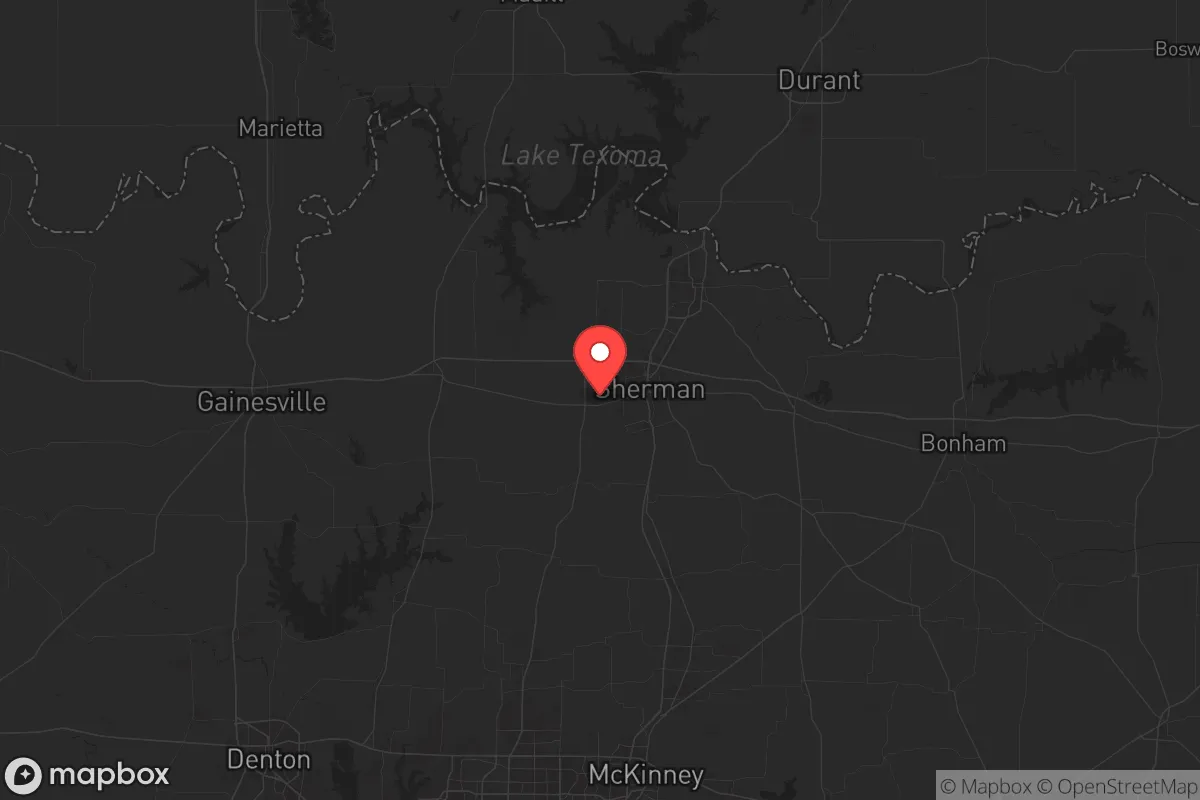
Grayson County, Texas, sits in a strategic sweet spot that’s hard to beat for a relocator with an eye on long-term stability. It’s far enough north of the Dallas-Fort Worth metroplex to dodge the worst of urban sprawl and the fallout risks that come with a major population center, yet close enough to access critical supplies and medical care if things hold together. The county’s position along the Red River, with the Oklahoma border as a natural buffer, gives it a geographic resilience that many inland Texas counties lack—you’ve got a river to your north, open plains to your west, and the denser tree cover of the Cross Timbers to the east. For someone thinking about civic unrest, supply chain disruptions, or even a major disaster, this isn’t a place that’s going to be the first to burn.
Geographic position and natural advantages for long-term stability
Grayson County’s geography is its ace in the hole. The Red River forms its northern boundary, providing a natural defensive line and a reliable water source—critical if municipal systems fail. The county sits on the edge of the Blackland Prairie, which means fertile soil for small-scale agriculture, and the eastern part around Sherman and Denison has enough tree cover to offer concealment and timber for construction or fuel. The terrain is gently rolling, not mountainous, which makes travel and farming feasible without the isolation of hill country. You’re roughly 60 miles north of Dallas, but the distance feels greater because of the rural buffer—Van Alstyne and Whitesboro are small towns that act as speed bumps for any unrest moving north from the metroplex. The county’s position also puts it within a day’s drive of multiple climate zones: the High Plains to the west, the Piney Woods to the east, and the Ozarks to the north. That diversity means you’re not locked into one ecosystem if you need to relocate again.
Risks, exposures, and proximity to fallout-relevant landmarks
No place is perfect, and Grayson County has its share of exposure. The biggest risk is the Sherman-Denison Metropolitan Statistical Area itself—about 135,000 people concentrated in the I-75 corridor. That’s not a megacity, but it’s dense enough that a major event (pandemic, economic collapse, or civil unrest) could strain local resources. The county is also within 30 miles of Texoma, the massive reservoir on the Red River. While Lake Texoma is a water asset, the dam at Denison is a critical infrastructure target—if it were compromised, the flood risk downstream would be significant, though Grayson County sits mostly above the floodplain. More concerning is the proximity to Fort Sill in Oklahoma, about 90 miles northwest. That’s a major Army base with artillery and missile training, meaning military traffic and potential secondary fallout if the base were targeted. On the industrial side, the refinery corridor along the Gulf Coast is over 300 miles away, so you’re not dealing with the immediate chemical plume risks that plague Houston or Beaumont. But the county does have its own industrial footprint: the Denison Dam hydroelectric plant and several natural gas pipelines running through the area. A pipeline rupture or dam failure would be localized, not catastrophic. The real risk is that Grayson County is a transit corridor—I-75 and US-75 funnel traffic from Dallas to Oklahoma, which means any mass evacuation from the metroplex could turn the highways into chokepoints. If you’re planning to bug in, you’ll want to be off the main arteries, preferably west of Sherman or east of Denison near the rural communities of Pottsboro or Collinsville.
Practical resilience for a relocator: food, water, energy, and defensibility
For someone serious about self-sufficiency, Grayson County offers a workable baseline. Water is the first concern: Lake Texoma and the Red River are the primary surface sources, but both are subject to drought and upstream competition from Oklahoma. The county’s groundwater is decent in the Trinity Aquifer, but well depths vary—expect to drill 200-400 feet in most areas. Rainwater catchment is viable, with annual precipitation around 40 inches, though summers can be dry. Food production is realistic: the growing season runs from March to November, and the soil in the western part of the county is rich enough for corn, beans, squash, and livestock forage. There’s already a strong agricultural community—Grayson County ranks in the top 20% of Texas counties for cattle production, so local knowledge and genetics are available. For energy, the grid is ERCOT, which means you’re vulnerable to the same rolling blackouts that hit Texas in 2021. But the county has a higher-than-average number of rural properties with propane tanks and backup generators. Solar potential is good—the county gets about 220 sunny days per year—but you’ll need battery storage to handle the winter cloud cover. Defensibility is mixed: the open farmland in the west offers long sightlines but little cover, while the wooded areas around Lake Texoma and the eastern creeks provide better concealment. The ideal property would be on a dead-end road with a creek or pond, at least 10 acres, and within 20 minutes of a small town like Whitewright or Bells for supply runs. The county’s law enforcement presence is decent—the sheriff’s office has about 60 deputies for the unincorporated areas—but in a collapse scenario, you’re largely on your own. The local gun culture is strong, with multiple shooting ranges and a high rate of concealed carry permits, which is a positive for community defense if you build relationships.
Overall, Grayson County presents a balanced strategic picture for the conservative relocator who wants to be prepared without going full off-grid. It’s not a remote bunker location—you’re still within striking distance of Dallas-Fort Worth’s chaos—but the rural character, water access, and agricultural base give you a fighting chance to ride out a crisis. The key is to avoid the I-75 corridor and the immediate shadow of Lake Texoma’s dam. Focus on the western or eastern fringes, build a network with local farmers and ranchers, and treat the county as a base of operations rather than a final redoubt. If you’re looking for a place that balances access to civilization with genuine resilience, Grayson County is worth a serious look—just don’t expect it to stay quiet if the world goes sideways.
* Values derived from national, state, county, city and local statistics and may differ in a specific area. Last updated: 2026-05-28T05:42:02.000Z
Narrative content on this page is AI-generated and may contain mistakes. Verify any details that matter before acting on them.
ReloMaps may earn a commission from affiliate links at no extra cost to you.