
Photo: Wikipedia
Strategic Assessment of Gregg County
Workable tactical position. Some exposure to population density or targets, but generally defensible in a crisis.
What does the Strategic Assessment tell us?
Our Strategic Assessment grades tactical survivability of an area. Major population centers, military targets, fallout zones, natural disasters, and border exposure all drive risk — lower exposure means a more defensible position in a crisis.
This is heavily inspired by Joel Skousen's Strategic Relocation book. Highly recommended you checkout the book ($)What does this tell us?
Our Strategic Assessment grades tactical survivability of an area. Major population centers, military targets, fallout zones, natural disasters, and border exposure all drive risk — lower exposure means a more defensible position in a crisis.
This is heavily inspired by Joel Skousen's Strategic Relocation book. Highly recommended you checkout the book ($)Strategic Pillars

Key Distances
Strategic Assessment Analysis
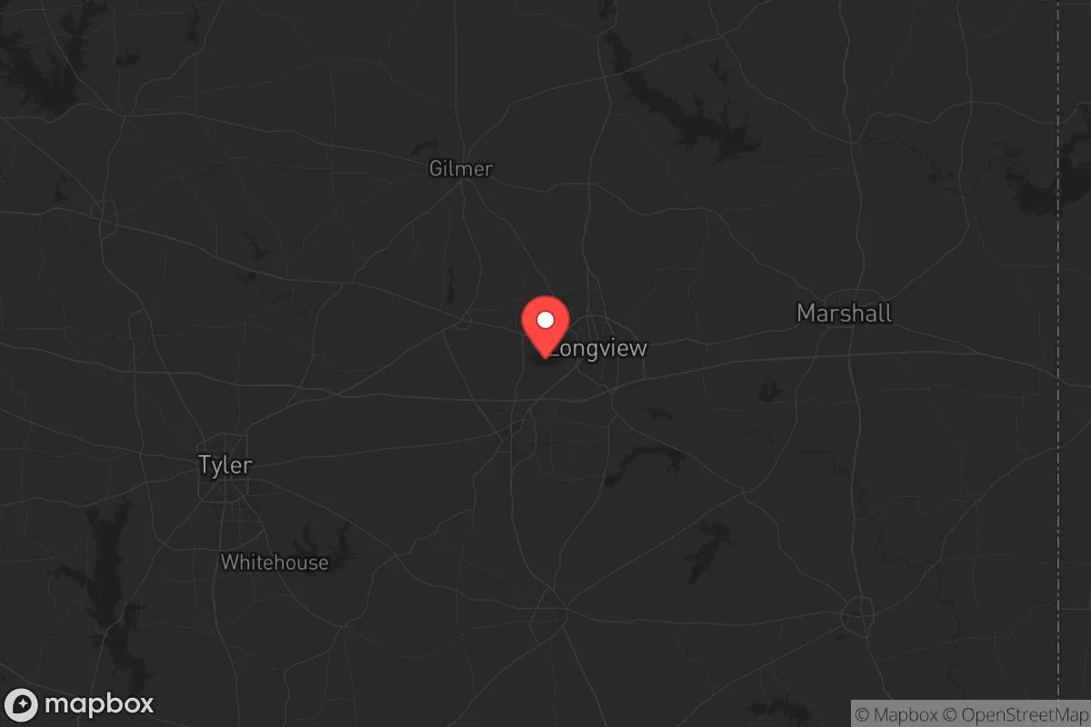
Gregg County, anchored by the city of Longview, offers a surprisingly resilient position for those prioritizing strategic relocation in an uncertain future. Its location in the Piney Woods of East Texas places it far enough from the major metropolitan blast zones of Dallas-Fort Worth and Houston—roughly 120 miles from each—yet close enough to access their logistical networks when needed. The county’s economic backbone, built on energy, manufacturing, and logistics, provides a degree of self-sufficiency that many suburban counties lack, making it a viable option for individuals and families seeking a buffer from coastal and urban vulnerabilities.
Geographic position and natural advantages for long-term stability
Gregg County sits at the intersection of two major interstate corridors—I-20 and I-369 (US 59)—which gives it a logistical edge without the congestion of a major hub. The county is part of the Sabine River basin, with the Sabine River forming its eastern border and providing a reliable freshwater source. The terrain is rolling hills and dense pine forests, offering natural cover and defensible positions compared to the flat, open plains of West Texas. The local climate is humid subtropical, with an average annual rainfall of around 50 inches, which supports robust agriculture and private well water systems. For a relocator, this means the land can sustain food production and water catchment without reliance on distant aquifers. The proximity to the Sabine National Forest to the east and the Davy Crockett National Forest to the south adds a layer of remote resource access, though both are public lands with their own management challenges.
Risks, exposures, and proximity to fallout-relevant landmarks
No strategic assessment is complete without acknowledging the liabilities. Gregg County’s primary risk is its industrial density. The county is home to multiple oil refineries and chemical plants, including the Longview Refinery (a Delek US Holdings facility) and several natural gas processing plants along the I-20 corridor. In a cascading failure scenario—whether from cyberattack, EMP, or conventional strike—these facilities become both targets and sources of secondary hazards like toxic plumes or fires. The county also sits within 50 miles of the East Texas Oil Field, one of the largest oil fields in the contiguous US, which could attract strategic strikes. Additionally, the Longview Regional Airport and the Union Pacific rail yard in Longview are potential choke points for logistics, making them targets for disruption. For a relocator, the key is to avoid living within a 10-mile radius of these industrial nodes. The rural areas east of Longview, toward the Sabine River, and west toward Kilgore offer better buffer zones. The county is not near any major military base—Fort Hood is about 150 miles west—but the proximity to the Louisiana Army Ammunition Plant (about 60 miles east in Minden, LA) is a secondary concern for fallout drift patterns in a nuclear scenario.
Practical resilience for a relocator: food, water, energy, and defensibility
For a family or individual serious about self-reliance, Gregg County’s practical assets are mixed but workable. Water is the strongest card: the Sabine River and its tributaries, like the Big Cypress Bayou, provide surface water, and the county’s average depth to groundwater is shallow (50-100 feet), making hand-pump wells feasible in many rural parcels. Food production is viable due to the long growing season (March to November) and fertile sandy loam soils. Local farmers’ markets in Longview and Kilgore are active, but for long-term security, a relocator should plan to establish a garden and possibly small livestock—chickens and goats are common in the area. Energy is a double-edged sword: the county is served by the ERCOT grid, which has proven brittle during winter storms (see 2021’s Uri). However, the prevalence of natural gas extraction means propane and natural gas generators are widely available and fuel supply is local. Solar potential is moderate—about 4.5 peak sun hours per day—so a hybrid system with battery storage is advisable. Defensibility is where the county shines for those who choose the right plot. The pine forests and rolling hills provide natural cover and limited sightlines, making a rural homestead easier to secure than a suburban subdivision. The county’s population density is about 200 people per square mile, but that drops to under 50 in the unincorporated areas east of Longview. The local law enforcement presence is the Gregg County Sheriff’s Office, with a response time of 15-30 minutes in rural zones, so a relocator should plan for self-defense capability and neighborhood mutual aid networks.
The overall strategic picture for Gregg County is one of cautious viability. It is not a remote bunker location—it is too close to industrial targets and major highways for that—but it offers a realistic middle ground for those who want to be prepared without disappearing into the wilderness. The key is to avoid the industrial nodes, secure a water source, and build community with like-minded neighbors in the rural eastern and western parts of the county. For a conservative-leaning relocator who values self-sufficiency and is willing to invest in off-grid infrastructure, Gregg County provides a solid foundation. Just don’t mistake it for a safe zone—it’s a buffer zone, and that requires active preparation, not passive hope.
* Values derived from national, state, county, city and local statistics and may differ in a specific area. Last updated: 2026-05-22T02:53:34.000Z
Narrative content on this page is AI-generated and may contain mistakes. Verify any details that matter before acting on them.
ReloMaps may earn a commission from affiliate links at no extra cost to you.