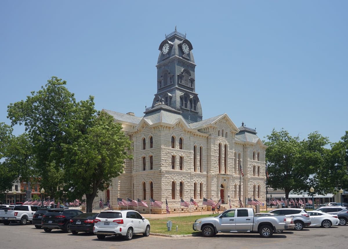
Photo: Wikipedia
Strategic Assessment of Hood County
Meaningful friction. Expect exposure to either population pressure, blast zones, or natural disaster risk. Consider buying a retreat property.
What does the Strategic Assessment tell us?
Our Strategic Assessment grades tactical survivability of an area. Major population centers, military targets, fallout zones, natural disasters, and border exposure all drive risk — lower exposure means a more defensible position in a crisis.
This is heavily inspired by Joel Skousen's Strategic Relocation book. Highly recommended you checkout the book ($)What does this tell us?
Our Strategic Assessment grades tactical survivability of an area. Major population centers, military targets, fallout zones, natural disasters, and border exposure all drive risk — lower exposure means a more defensible position in a crisis.
This is heavily inspired by Joel Skousen's Strategic Relocation book. Highly recommended you checkout the book ($)Strategic Pillars

Key Distances
Strategic Assessment Analysis
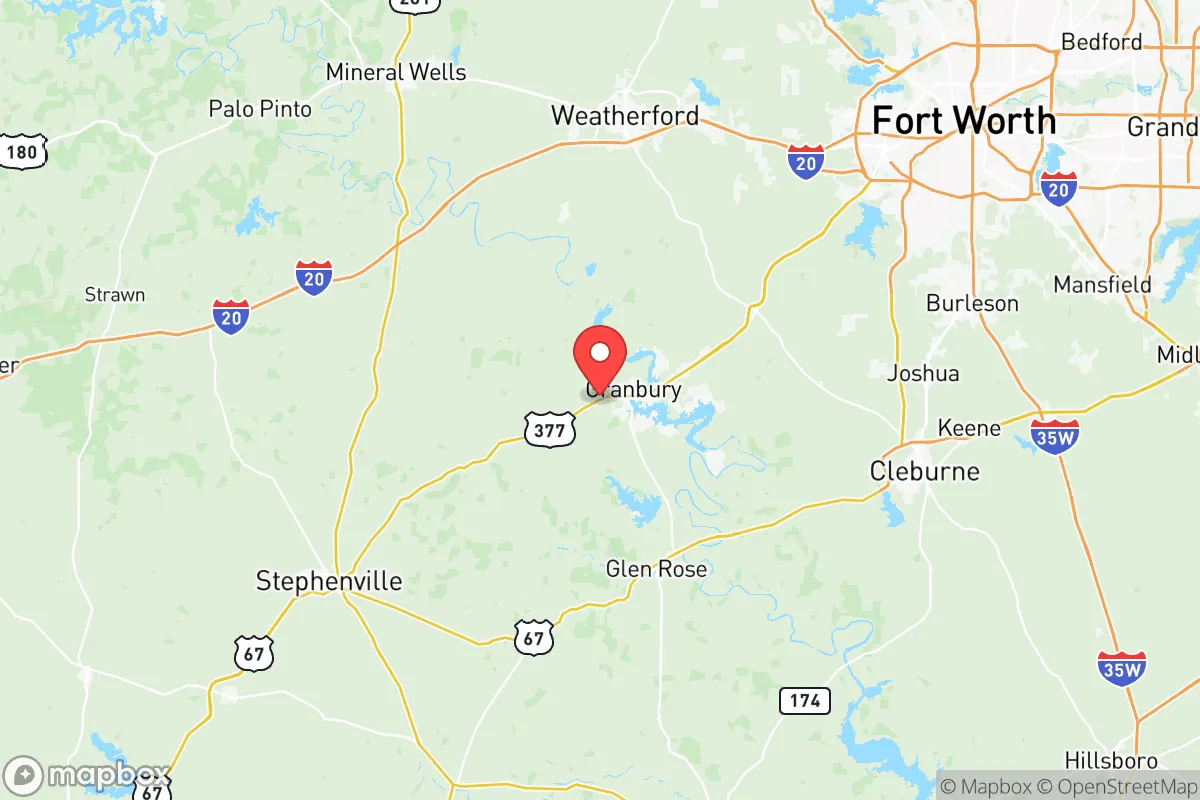
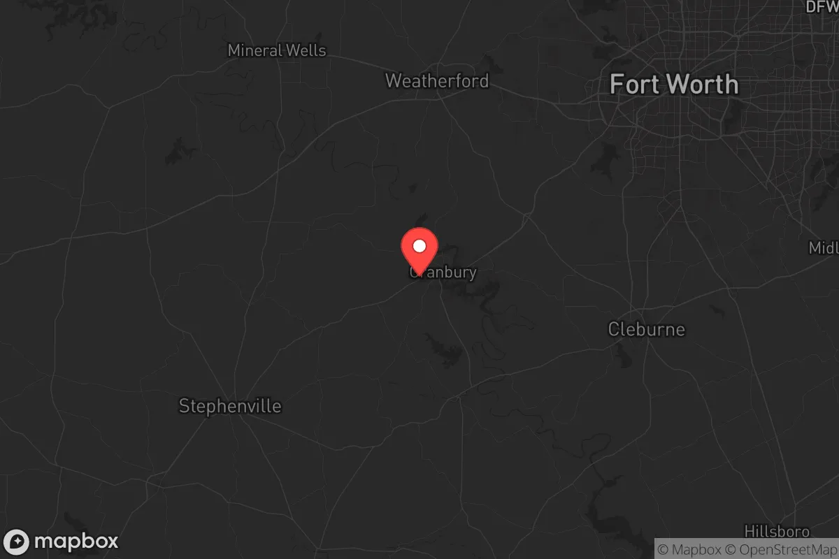
Hood County, Texas, anchored by the city of Granbury, offers a compelling strategic position for those prioritizing resilience and self-sufficiency in an increasingly uncertain national landscape. Its location roughly 40 miles southwest of Fort Worth places it far enough from the major metroplex to avoid the worst of urban collapse scenarios—riots, supply chain failures, or grid-down chaos—yet close enough to access critical resources if needed. The county’s geography, built around the Brazos River basin and the man-made Lake Granbury, provides natural defensibility and a reliable water source, two non-negotiable assets for any serious relocation plan. For the conservative-minded prepper or survivalist, Hood County represents a balanced bet: rural enough to breathe, but not so remote that you’re cut off from medical care or heavy equipment when things go sideways.
Geographic position and natural advantages for long-term survival
Hood County sits on the western edge of the Dallas-Fort Worth metroplex, a position that offers a critical buffer zone. The terrain transitions from the flat Blackland Prairie to the more rugged Cross Timbers region, providing natural cover and varied defensibility. Lake Granbury, a 34-mile-long reservoir created by the damming of the Brazos River, is the county’s crown jewel for water security—it’s a surface water source that isn’t dependent on fragile aquifer pumping or municipal treatment plants that could fail in a crisis. The Brazos River itself runs through the eastern part of the county, offering a secondary water source and a natural barrier against approach from the east. The rolling hills and limestone bluffs around Granbury and the smaller communities of Tolar and Lipan create numerous choke points and observation positions, a tactical advantage for anyone concerned with perimeter security. The area’s moderate climate—hot summers but mild winters—means less strain on heating fuel and fewer freeze-related infrastructure failures compared to northern states. For a relocator, the ability to grow food year-round with careful planning is a real plus; the growing season runs roughly 230 days, allowing for multiple crop cycles.
Risks, exposures, and proximity to fallout-relevant landmarks
No strategic assessment is honest without addressing the downsides. Hood County’s primary risk is its proximity to the Dallas-Fort Worth metroplex, a population center of over 7 million people that would be a primary target for any large-scale attack or civil unrest. Granbury is roughly 50 miles from DFW International Airport and 40 miles from Fort Worth’s Naval Air Station Joint Reserve Base, both high-value targets in a conflict scenario. Fallout patterns from a strike on those facilities could reach Hood County depending on wind direction, though the prevailing winds from the south-southeast would typically push contamination north and east, away from the county. More concerning is the proximity to the Barnett Shale natural gas fields, which have extensive infrastructure—pipelines, compressor stations, and processing plants—scattered across the region. A major industrial accident or sabotage at one of these sites could create localized hazards. The county also sits within 100 miles of the Comanche Peak Nuclear Power Plant in Somervell County to the south. While that plant is a potential target, it’s also a source of EMP risk if compromised. On the plus side, Hood County has no major military bases, refineries, or ports within its borders, meaning it’s not a primary target itself. The nearest major military installation is Fort Cavazos (formerly Fort Hood) in Coryell County, about 70 miles south—close enough to matter in a mobilization scenario but far enough to avoid direct fallout.
Practical resilience for a relocator: food, water, energy, and defensibility
For the individual or family looking to hunker down, Hood County offers a workable baseline. Water is the single most critical resource, and Lake Granbury provides a massive, renewable supply—but access is not guaranteed. The lake is controlled by the Brazos River Authority, and in a prolonged drought or emergency, allocations could be restricted. A prepper should plan for private well drilling (the county has decent groundwater in the Trinity Aquifer, though depths vary from 100 to 500 feet) or rainwater catchment systems. The county’s average annual rainfall is about 35 inches, enough to support rain barrels and cisterns for non-potable use. Food production is viable: the soil in the river bottoms is fertile, and there’s ample pasture for livestock. The local agricultural scene is small-scale—hay, cattle, and some row crops—meaning you won’t be competing with industrial farms for land. Granbury’s local farmers’ market and a handful of feed stores (like the Granbury Feed Store on U.S. 377) provide supply lines for seeds, tools, and animal feed that could be stockpiled. Energy resilience is a mixed bag. The county is part of the ERCOT grid, which has proven unreliable during winter storms (see Winter Storm Uri in 2021). Off-grid solar is a strong option given the region’s 200+ sunny days per year, and natural gas generators are a practical backup given the local gas infrastructure. Defensibility is moderate: the terrain offers natural cover, but the county’s road network—primarily U.S. 377 and State Highway 144—creates predictable chokepoints. The small towns of Tolar and Lipan, with populations under 1,000 each, offer more defensible positions than Granbury itself, which has grown to over 10,000 residents and would be a logical gathering point for refugees from the metroplex.
The overall strategic picture for Hood County is one of cautious optimism for the prepared relocator. It’s not a fortress—no place in the lower 48 is—but it offers a realistic balance of resources, distance from primary targets, and community infrastructure that can be leveraged. The conservative culture is a practical advantage: local governance is generally pro-property rights, with minimal zoning restrictions that allow for private well drilling, livestock keeping, and alternative energy installations without bureaucratic headaches. The county’s population of roughly 65,000 is spread out enough to avoid the density-driven problems of urban areas, but concentrated enough to maintain hospitals, law enforcement, and supply chains in normal times. For the survivalist who wants to be prepared for civic unrest, mass casualty events, or natural disasters, Hood County is a solid B+ option—not the remote wilderness of Montana or the bunker-friendly terrain of West Texas, but a workable middle ground where a family can build a resilient life without being completely isolated from the world they’re trying to survive. The key is to act before the next crisis hits: secure water rights, establish a food buffer, and build community ties with like-minded neighbors in the smaller towns outside Granbury’s orbit. That’s the real strategic advantage—not the land itself, but the time you have to prepare before the balloon goes up.
* Values derived from national, state, county, city and local statistics and may differ in a specific area. Last updated: 2026-06-06T08:43:49.000Z
Narrative content on this page is AI-generated and may contain mistakes. Verify any details that matter before acting on them.
ReloMaps may earn a commission from affiliate links at no extra cost to you.