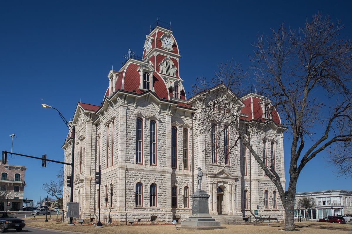
Photo: Wikipedia
Strategic Assessment of Parker County
Meaningful friction. Expect exposure to either population pressure, blast zones, or natural disaster risk. Consider buying a retreat property.
What does the Strategic Assessment tell us?
Our Strategic Assessment grades tactical survivability of an area. Major population centers, military targets, fallout zones, natural disasters, and border exposure all drive risk — lower exposure means a more defensible position in a crisis.
This is heavily inspired by Joel Skousen's Strategic Relocation book. Highly recommended you checkout the book ($)What does this tell us?
Our Strategic Assessment grades tactical survivability of an area. Major population centers, military targets, fallout zones, natural disasters, and border exposure all drive risk — lower exposure means a more defensible position in a crisis.
This is heavily inspired by Joel Skousen's Strategic Relocation book. Highly recommended you checkout the book ($)Strategic Pillars

Key Distances
Strategic Assessment Analysis
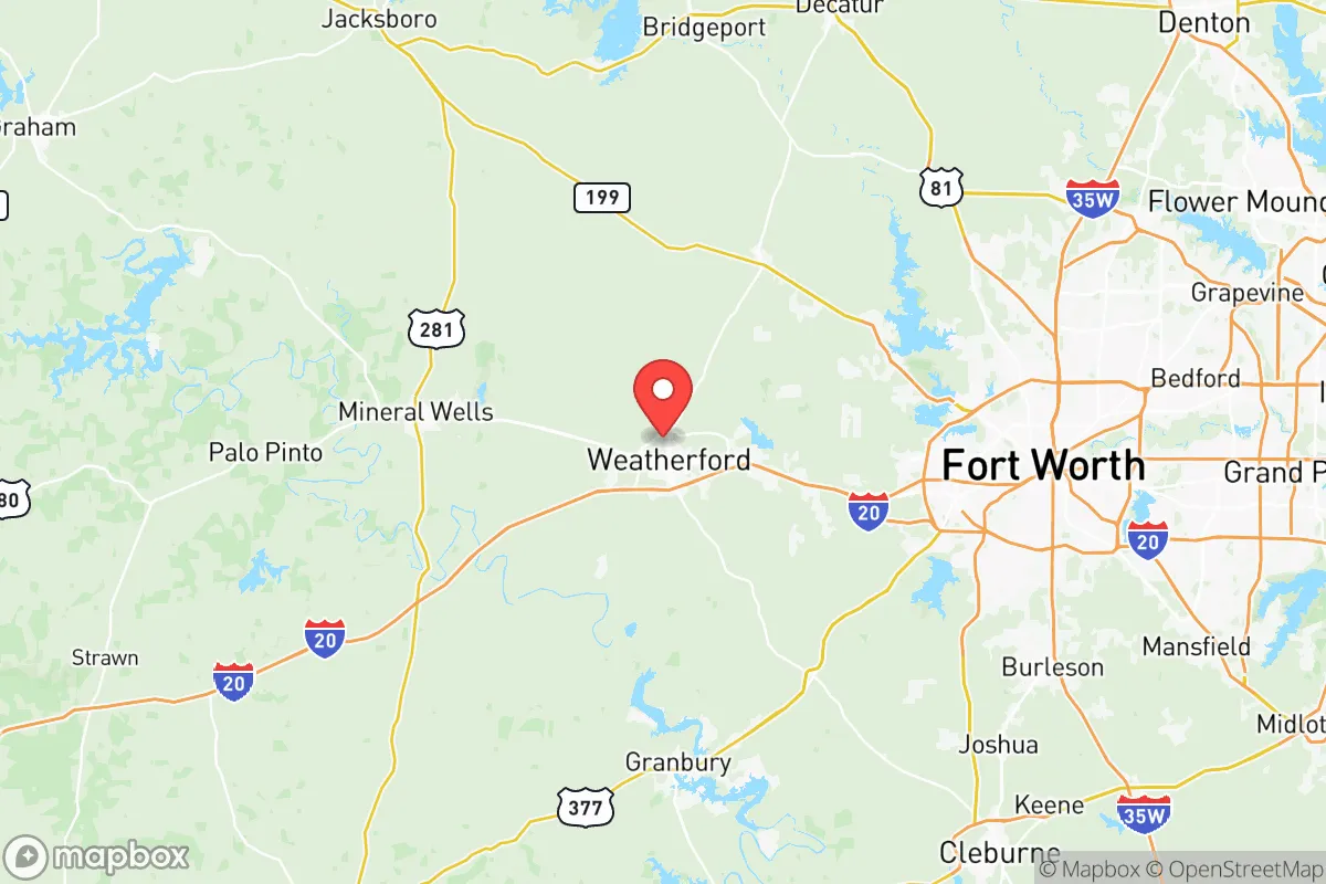
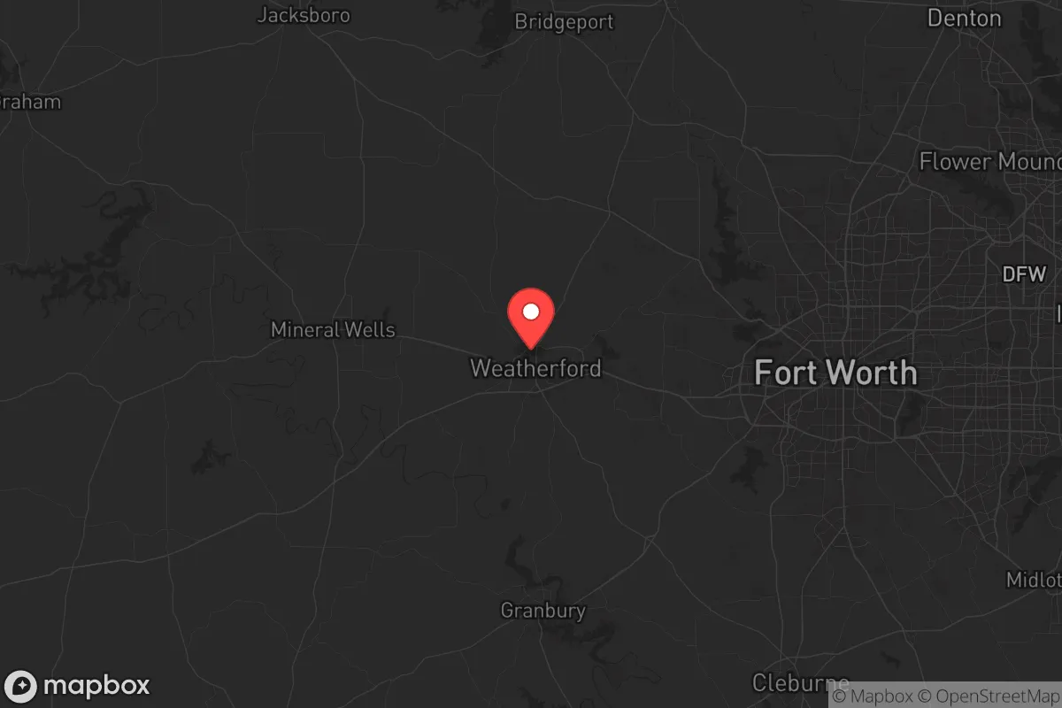
Parker County, Texas, sits in that sweet spot where rural resilience meets practical access—far enough from the Dallas-Fort Worth metroplex to dodge the worst of a grid-down scenario, but close enough that a prepper can still run supply errands before things go sideways. The county’s rolling hills, limestone bedrock, and low population density make it a solid candidate for anyone serious about long-term sustainability, especially if you’re looking to put down roots in a politically conservative area that values self-reliance. Weatherford, the county seat, anchors a region where local government tends to favor Second Amendment rights and limited regulation, which matters when you’re stockpiling or building out a retreat. Let’s break down what this area actually offers from a strategic relocation standpoint.
Geographic position and natural advantages for long-term security
Parker County sits about 30 miles west of Fort Worth, placing it just outside the immediate blast and fallout zones of a major urban target while still giving you access to the region’s infrastructure. The terrain is a mix of post oak savanna and limestone hills—nothing dramatic, but enough to provide natural drainage and some visual cover. The Brazos River forms the county’s southern border, and several smaller creeks like the Clear Fork of the Trinity run through the area, offering reliable surface water if municipal systems fail. Lake Weatherford and Lake Mineral Wells (just east in Palo Pinto County) provide additional freshwater reserves that could be tapped with the right filtration setup. The soil is decent for small-scale agriculture, especially in the eastern part of the county around Aledo and Willow Park, where you’ll find deeper topsoil. The climate is classic North Texas—hot summers, occasional ice storms in winter—but tornado risk is moderate, and the area rarely sees hurricane impacts directly. For a prepper, the key advantage is that Parker County isn’t a primary target: no major military bases, no refineries, no nuclear plants inside the county itself. The closest high-value infrastructure is Comanche Peak Nuclear Power Plant about 40 miles south in Somervell County, which is far enough to avoid immediate fallout but close enough to warrant a potassium iodide stash and a wind-direction plan.
Risks, exposures, and proximity to fallout-relevant landmarks
No place is a fortress, and Parker County has its share of vulnerabilities. The biggest risk is its proximity to the DFW metroplex—roughly 7 million people living 30–50 miles east. In a major economic collapse or civil unrest scenario, that population could push west along I-20 and US 180, turning Weatherford and Aledo into choke points. The Burlington Northern Santa Fe rail line that cuts through the county carries hazardous materials—think ammonia, chlorine, and crude oil—which could become a secondary hazard if a derailment or sabotage occurs. Also worth noting: the Barnett Shale natural gas fields are active here, with numerous well pads and compressor stations. A coordinated attack on energy infrastructure could leave the county without power or gas for weeks. On the plus side, there are no major refineries or ports in Parker County itself. The closest refinery is in the DFW area (Valero in North Texas), but that’s a secondary target. Fort Cavazos (formerly Fort Hood) is about 100 miles south—close enough that military convoys might move through the area during a crisis, but far enough that you won’t be in the immediate fallout zone if the base is hit. The real exposure is human: Parker County’s population has grown fast—over 150,000 now, up from 115,000 in 2010. That means more neighbors competing for resources if things go bad. Springtown and Azle, on the eastern edge, are particularly vulnerable to spillover from Fort Worth.
Practical resilience for a relocator: food, water, energy, and defensibility
If you’re serious about self-sufficiency, Parker County offers a workable foundation. Water is the first concern, and the county’s groundwater is generally good—the Trinity Aquifer runs underneath, and many rural properties have private wells. Surface water from the Brazos and local lakes is accessible, but you’ll need to treat it for agricultural runoff and livestock waste. Rainwater catchment is viable; annual precipitation averages about 35 inches, enough to fill cisterns if you plan for summer dry spells. For food, the growing season runs roughly March through November, and you can raise cattle, goats, and poultry on the native grasses. The county has a strong agricultural heritage—hay, wheat, and pecans are common—and there are several local feed stores and co-ops in Weatherford and Aledo. Energy resilience is a mixed bag: natural gas is abundant, but the grid is tied to ERCOT, which has proven unreliable during winter storms (remember 2021). Solar is viable—the area gets about 230 sunny days per year—but you’ll want battery storage and a backup generator. Defensibility is decent but not ideal. The terrain is open enough that you can see threats coming from a distance, but there are few natural barriers like mountains or dense forests. Property with a good stand of trees, a creek, and a long driveway is your best bet—look at areas south of Weatherford near the Brazos, or the more rugged parts around Brock and Garner. The county’s gun culture is strong, and local law enforcement is generally pro-Second Amendment, which matters if you need to rely on community defense.
Overall, Parker County is a solid B+ for the strategic relocator who wants to stay within a day’s drive of DFW’s medical and supply networks but doesn’t want to be in the blast radius. The political climate leans heavily conservative—Burnet County to the south is even redder, but Parker County voted 70% for Trump in 2020—and the local culture respects preparedness. The biggest downsides are population growth and proximity to a major urban center that could become a source of refugees or unrest. If you can secure a property with a well, some acreage, and a defensible position away from the main highways (especially I-20 and US 180), you’ll have a fighting chance. Just keep an eye on Comanche Peak’s wind patterns and have a bug-out route west into Palo Pinto or Stephens County if the metroplex collapses. It’s not a bunker, but it’s a place where a prepared family can ride out the storm.
* Values derived from national, state, county, city and local statistics and may differ in a specific area. Last updated: 2026-05-14T21:08:03.000Z
Narrative content on this page is AI-generated and may contain mistakes. Verify any details that matter before acting on them.
ReloMaps may earn a commission from affiliate links at no extra cost to you.