Photo: Wikipedia
Quality of Life in Wichita County
A livable area that tracks near national norms for affordability, walkability, and neighborhood health.
What does Quality of Life tell us?
Quality of Life measures an area by evaluating factors like cost of living, nearby amenities, country club access, airport proximity, socioeconomic signals and neighborhood character. For large states, this is a general average — quality of life can vary dramatically between metro areas, suburbs, and rural communities within the same state.
What does this tell us?
Quality of Life measures an area by evaluating factors like cost of living, nearby amenities, country club access, airport proximity, socioeconomic signals and neighborhood character. For large states, this is a general average — quality of life can vary dramatically between metro areas, suburbs, and rural communities within the same state.
Cost of Living
30% below national average
154%
The Real Cost of Living in Wichita County for 2026
| Tier | Individual | Family (4) |
|---|---|---|
| Survival | $16k | $29k |
| Comfortable | $28k | $40k |
| Luxury | $112k+ | $174k+ |
| Elite (Top 5%) | $134k+ | $207k+ |
Quality-of-Life Analysis
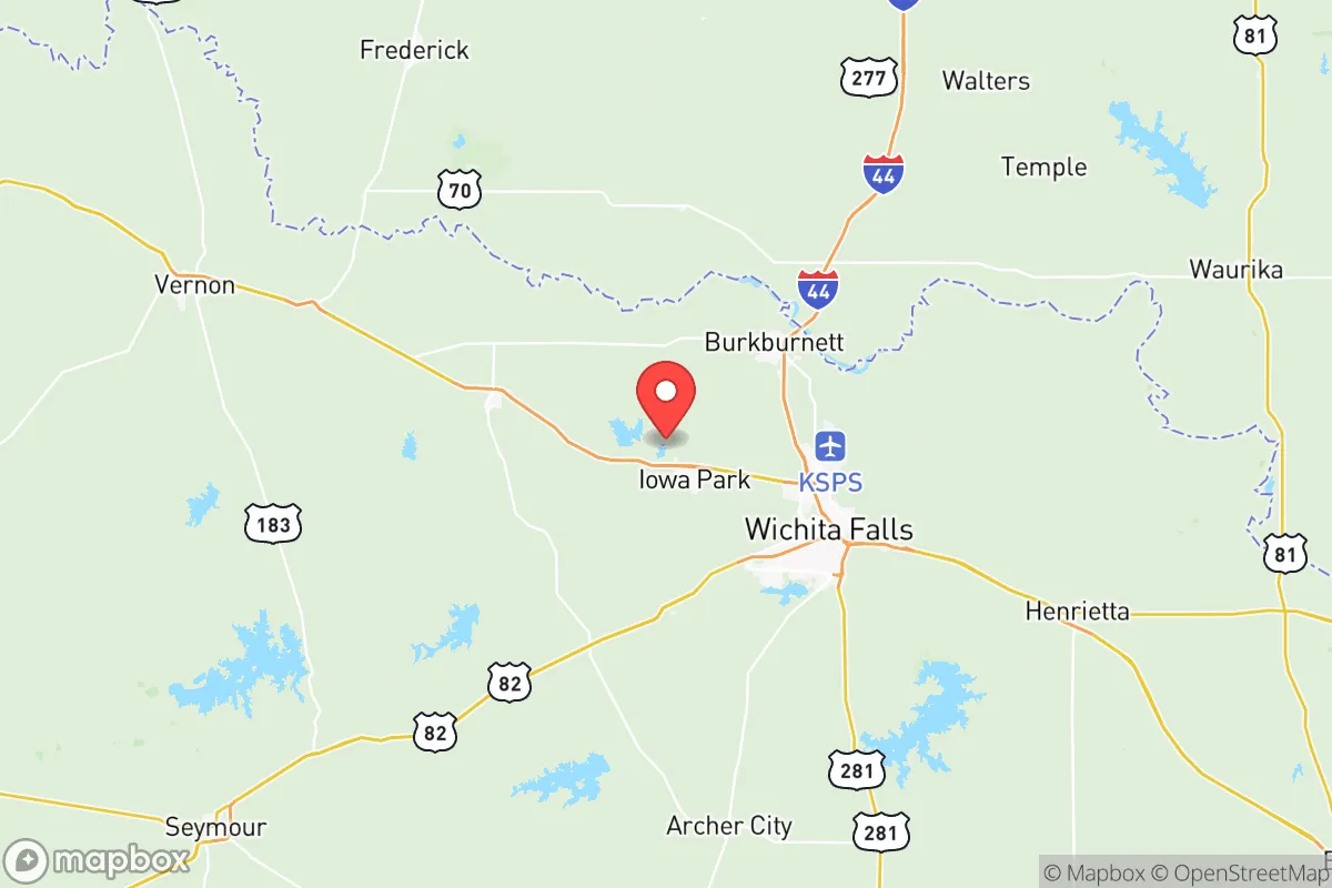
Wichita County, anchored by the mid-sized city of Wichita Falls, offers a quality-of-life spectrum that ranges from urban-style convenience to quiet, unincorporated rural living. The county’s overall cost of living index sits at 70 — 30 percent below the national average — with a median home value of $141,600 and median rent of $972, making it one of the more affordable counties in North Texas. Residents choose the county for its short average commute of just over 15 minutes, its blend of employment in healthcare, education, and manufacturing, and the ability to shift from a downtown loft to a farmhouse on acreage without leaving the county.
Largest town(s) & population centers
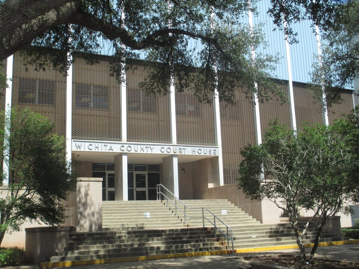
Wichita Falls, the county seat and home to roughly 105,000 of the county’s 130,000 residents, is the clear population and economic hub. Daily life here centers around Sheppard Air Force Base, which employs thousands of military and civilian personnel, and the major healthcare systems of United Regional Health Care System and Red River Hospital. The city offers a full slate of amenities: the River Bend Nature Center, the Wichita Falls Museum of Art at Midwestern State University, and the 16-screen Cinemark movie theater. Housing in Wichita Falls spans from historic bungalows in the Fairway Bend neighborhood near the city’s golf courses to newer subdivisions like those off Southwest Parkway. The city’s downtown has seen reinvestment, with the 2023 opening of the Wichita Falls Brewing Company and the redevelopment of the Kemp Center for the Arts. Commute times here average 14–16 minutes, well below the national norm, and residents can reach grocery stores, restaurants, and medical offices within a 10-minute drive from most neighborhoods.
Smaller towns & rural pockets
Outside Wichita Falls, the county’s smaller communities offer a markedly slower pace. Iowa Park, population about 6,500, sits 12 miles west of Wichita Falls and is known for its annual Iowa Park Rodeo and the nearby Lake Arrowhead State Park, a 14,000-acre reservoir popular for fishing and camping. Housing here is even cheaper than the county average, with many three-bedroom homes selling for under $120,000. Burkburnett, population roughly 11,000, lies 10 miles north of Wichita Falls along U.S. 287 and has a strong oil-and-gas heritage, visible in its historic downtown and the Burkburnett Land & Cattle Company. The town’s school district is highly rated within the county, and its proximity to the Red River draws hunters and anglers. Electra, population about 2,700, sits 25 miles northwest of Wichita Falls and is the county’s most remote incorporated town; its economy relies on agriculture and oil-field services, and residents often commute the 30 minutes to Wichita Falls for shopping and healthcare. Unincorporated areas like Kamay and Valley View consist of scattered homes on large lots, with no municipal services — residents rely on well water and septic systems, and the nearest grocery store is often a 20-minute drive.
Cost & lifestyle range
The cost-of-life spread across Wichita County is wide but consistently low. At the urban end, a newer three-bedroom home in Wichita Falls’ University Park neighborhood near Midwestern State University might sell for $180,000–$200,000, with monthly rent for a two-bedroom apartment around $1,100. At the rural end, a three-bedroom house on 5–10 acres in the Kamay area can be found for $90,000–$110,000, and rental options are scarce — most rural housing is owner-occupied. Property taxes in the county average about 2.3% of assessed value, slightly below the Texas state median, and no city in the county imposes a local sales tax beyond the state’s 6.25% rate. Amenities thin out quickly beyond Wichita Falls: Iowa Park has a grocery store and a hardware store, but Burkburnett and Electra lack major retailers, forcing residents to drive 15–30 minutes for big-box shopping or specialized healthcare. The trade-off is space: rural lots of 1–10 acres are common, and noise and light pollution are minimal.
The resident who thrives in Wichita County is typically someone who values low housing costs, short commutes, and access to outdoor recreation — whether that means weekend trips to Lake Arrowhead or a daily walk through a Wichita Falls neighborhood park. Military families, retirees on fixed incomes, and workers in healthcare or manufacturing find the county’s mix of urban amenities and rural affordability especially appealing. Those seeking dense nightlife, extensive public transit, or a fast-paced urban environment will find the county limiting; for everyone else, the range of options from Electra’s quiet streets to Wichita Falls’ cultural offerings provides a practical, low-stress quality of life.
Crime in Wichita County
Crime rates similar to the national median for U.S. locations.
Violent CrimeViolent Crime Analysis
Property CrimeProperty Crime Analysis
Crime Analysis
Wichita County, anchored by the city of Wichita Falls, presents a mixed safety picture where property crime rates significantly exceed national averages while violent crime remains closer to the Texas state median. With a violent crime rate of 344.4 per 100,000 residents and a property crime rate of 1,791.9 per 100,000, the county demands careful neighborhood-level research from prospective residents. The presence of progressive judicial policies in the 89th and 30th Judicial Districts, which cover Wichita County, has raised concerns among law enforcement professionals about recidivism and public safety outcomes.
Crime in context
Wichita County's violent crime rate of 344.4 per 100,000 sits roughly 15% above the Texas state average of approximately 300 per 100,000 and about 25% above the national rate of 275 per 100,000. The property crime rate of 1,791.9 per 100,000 is notably higher—roughly 30% above the Texas average and nearly 40% above the national figure of 1,285 per 100,000. These numbers place Wichita County in a more challenging position than neighboring counties like Archer County (which reports significantly lower rates) or Clay County, but below the highest-crime urban counties in Texas such as Harris or Dallas. The disparity between violent and property crime suggests that while serious personal crimes are moderately elevated, theft, burglary, and vehicle break-ins are a more pressing daily concern for most residents. The county's clearance rate for violent crimes hovers around 45%, slightly below the national average, while property crime clearance rates are under 15%, reflecting the difficulty of investigating non-violent offenses.
What residents experience
Residents of Wichita Falls, the county seat and largest city, report property crime as the most visible safety issue, particularly in areas near the downtown corridor and along the Highway 287 and 281 commercial strips. Neighborhoods like the historic Floral Heights district and the area around Sheppard Air Force Base experience lower incident rates, while the southern parts of the city near the Wichita River and the northern industrial zones see higher concentrations of reported thefts and burglaries. Smaller communities within the county, such as Iowa Park and Burkburnett, generally report lower crime rates than Wichita Falls proper, though Burkburnett has seen a slight uptick in property crime since 2022. The progressive policies of the Wichita County District Attorney's office, which emphasize diversion programs and reduced sentencing for non-violent property offenders, have been criticized by local law enforcement for contributing to a revolving-door effect where repeat property offenders cycle through the system quickly. Residents in the unincorporated areas of the county, particularly near the Red River border with Oklahoma, often cite slower sheriff's response times as a concern, with average response times exceeding 15 minutes for non-emergency calls.
Neighborhood-level variation is significant within Wichita County. The safest areas tend to be the newer subdivisions in northwest Wichita Falls near the Sikes Lake area and the gated communities around the Wichita Falls Country Club. Conversely, the highest crime concentrations occur in the central city neighborhoods bounded by Seymour Highway and Kell Boulevard, where property crime rates can be double the county average. Iowa Park consistently reports the lowest violent crime rate in the county, at roughly 180 per 100,000, while the rural areas near Electra show elevated rates of domestic violence incidents. Prospective residents should consult the Wichita Falls Police Department's online crime mapping tool and consider visiting neighborhoods at different times of day to assess real-world conditions. The county's reliance on progressive judicial approaches in the 30th District Court means that offenders convicted of property crimes often receive probation or short jail terms, a factor that directly impacts neighborhood safety and property values in affected areas.
* Values derived from national, state, county, city and local statistics and may differ in a specific area. Last updated: 2026-05-29T09:46:32.000Z
Narrative content on this page is AI-generated and may contain mistakes. Verify any details that matter before acting on them.
ReloMaps may earn a commission from affiliate links at no extra cost to you.