Photo: Wikipedia
Strategic Assessment of Wichita County
Workable tactical position. Some exposure to population density or targets, but generally defensible in a crisis.
What does the Strategic Assessment tell us?
Our Strategic Assessment grades tactical survivability of an area. Major population centers, military targets, fallout zones, natural disasters, and border exposure all drive risk — lower exposure means a more defensible position in a crisis.
This is heavily inspired by Joel Skousen's Strategic Relocation book. Highly recommended you checkout the book ($)What does this tell us?
Our Strategic Assessment grades tactical survivability of an area. Major population centers, military targets, fallout zones, natural disasters, and border exposure all drive risk — lower exposure means a more defensible position in a crisis.
This is heavily inspired by Joel Skousen's Strategic Relocation book. Highly recommended you checkout the book ($)Strategic Pillars

Key Distances
Strategic Assessment Analysis
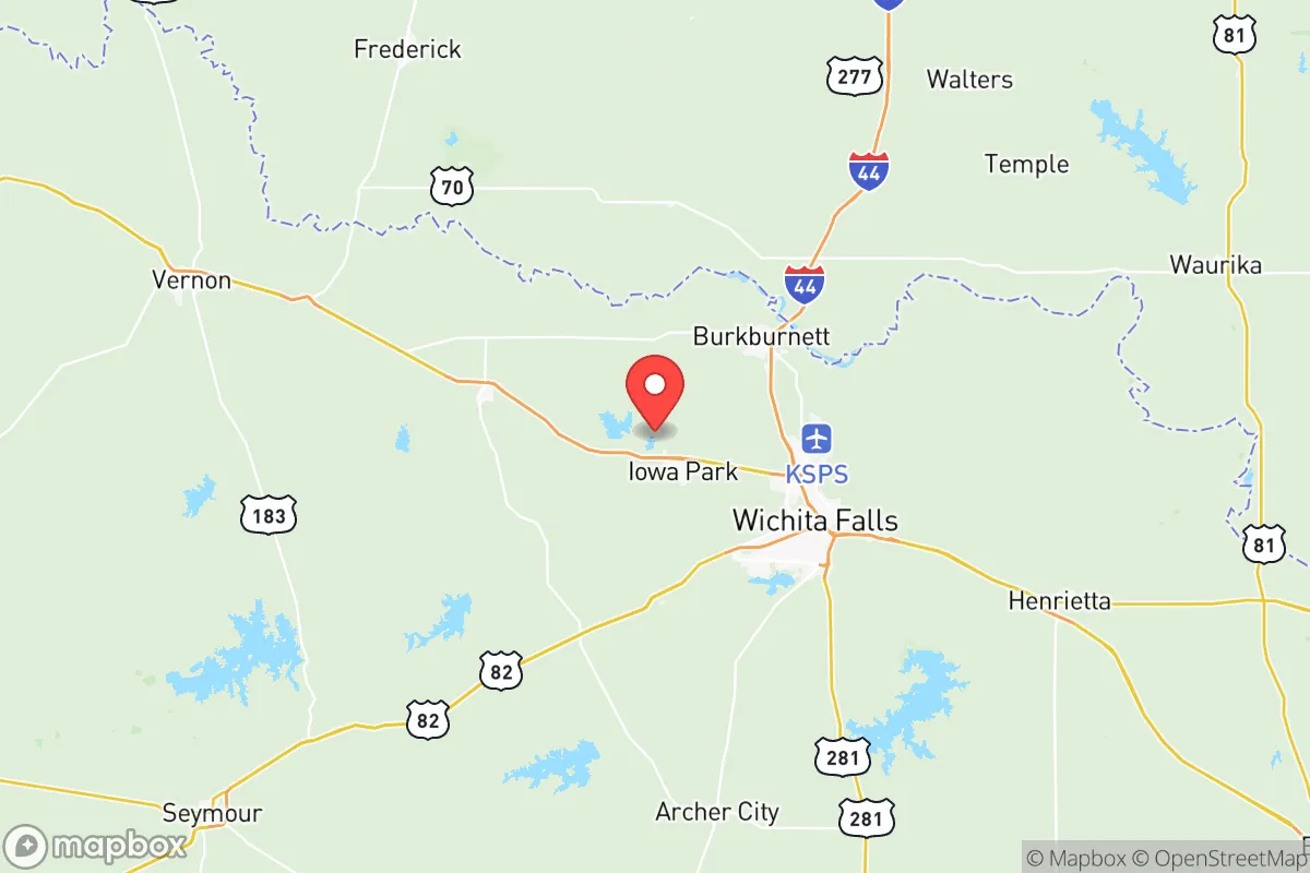
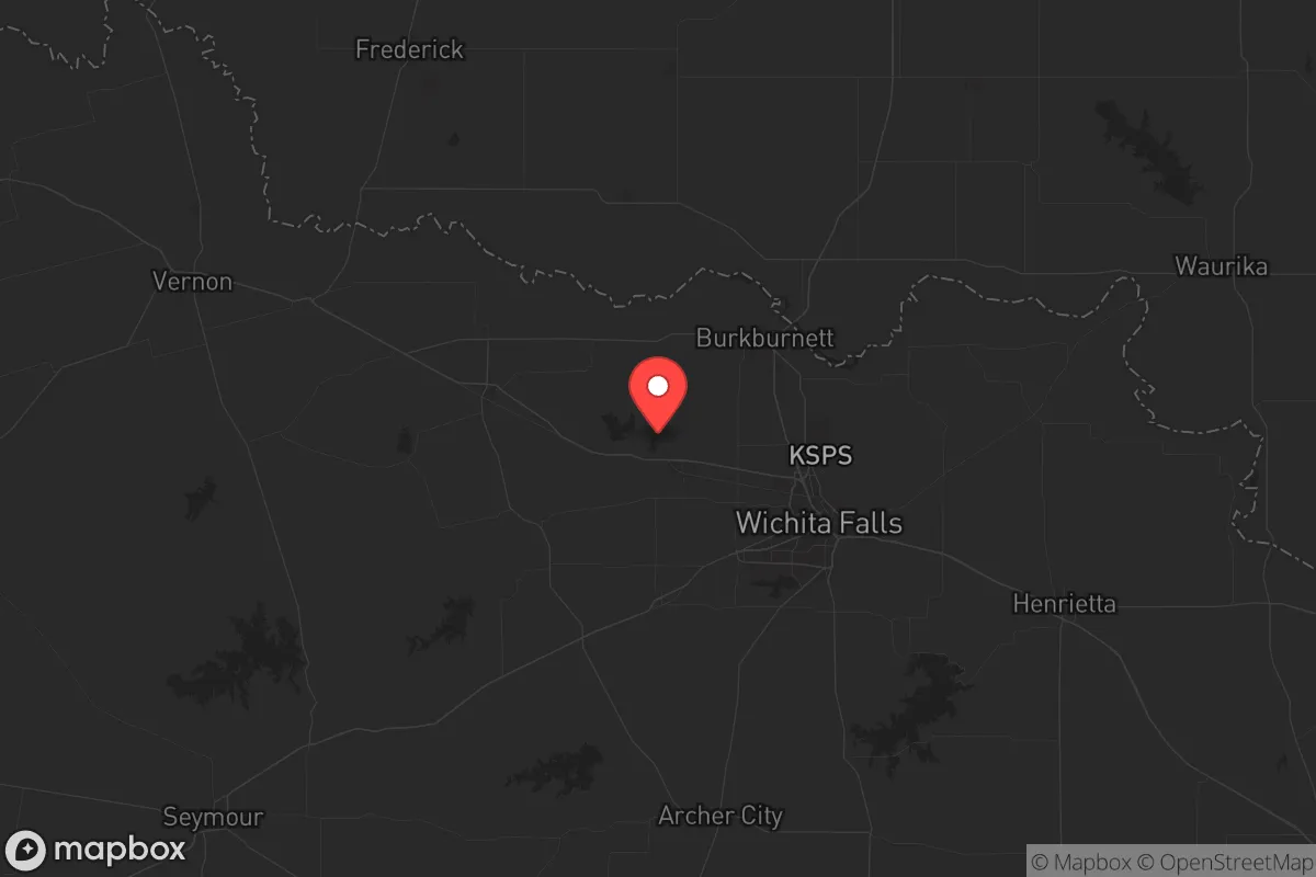
Wichita County, anchored by the city of Wichita Falls, offers a compelling strategic position for those prioritizing resilience and distance from the most volatile population centers, while still maintaining access to critical infrastructure. Located roughly 140 miles northwest of the Dallas-Fort Worth metroplex and 120 miles southwest of Oklahoma City, the county sits in a sweet spot—close enough to tap into major supply chains and medical networks, yet far enough to avoid the immediate fallout of a major urban crisis. The area’s geography, defined by the Red River to the north and the rolling plains of North Texas, provides natural buffers and a lower population density that appeals to those thinking long-term about security and self-sufficiency.
Geographic position and natural advantages for long-term security
Wichita County’s location is its primary strategic asset. It lies within the Red River Valley, a region historically less prone to the extreme weather events that plague other parts of Texas—hurricanes are a non-issue, and tornado activity, while present, is less frequent than in the traditional "Tornado Alley" corridor further east. The county’s position along the Red River also offers a reliable freshwater source, a critical consideration for any prepper. The surrounding terrain is largely flat to gently rolling, which aids in line-of-sight observation and reduces the risk of flash flooding compared to hill country areas. The city of Wichita Falls itself sits at the intersection of U.S. Highways 281, 277, and 287, and is served by the Wichita Falls Regional Airport (SPS). This transportation network means you can move supplies or evacuate if needed, but the roads are not the congested arteries seen near Dallas or Houston. For a relocator, the key takeaway is that this area offers a defensible position with good natural resources, without being a strategic choke point that would attract unwanted attention during a crisis.
Risks, exposures, and proximity to fallout-relevant landmarks
No strategic assessment is complete without a hard look at the downsides, and Wichita County has a few that demand attention. The most significant risk is its proximity to Sheppard Air Force Base, located directly within Wichita Falls. While the base is a major economic driver and provides a skilled workforce, it also makes the county a potential target in any large-scale conflict. A conventional or asymmetric attack on Sheppard AFB could create a secondary disaster zone, with fallout—both literal and figurative—affecting the surrounding area. Additionally, the county is within a 200-mile radius of the Pantex Plant near Amarillo, the nation’s primary nuclear weapon assembly and disassembly facility. While not a direct fallout zone, a major incident at Pantex could have regional consequences. On the industrial side, Wichita County hosts several chemical and manufacturing plants, including those tied to the oil and gas sector, but these are smaller and less concentrated than the refinery corridors of Houston or the Gulf Coast. The risk here is moderate but real: a localized industrial accident or a targeted disruption could strain local resources. For the prepper, the calculus is that the base is a double-edged sword—it brings federal resources and a security presence, but also a target profile that a more remote county like Archer or Clay might avoid.
Practical resilience for a relocator: food, water, energy, and defensibility
When it comes to day-to-day survival and long-term sustainability, Wichita County scores well on several fronts. Water access is a standout: the county sits atop the Seymour Aquifer, and Lake Arrowhead and Lake Kickapoo provide substantial surface water reserves. The city of Wichita Falls has also invested in a direct potable reuse system, making it one of the most drought-resilient municipalities in Texas. For a relocator, this means you can secure a property with a well or rainwater catchment without the extreme scarcity seen in West Texas. Food production is viable, with fertile soil in the river bottoms and a growing season that supports vegetables, grains, and livestock. The county is part of the Texas Panhandle’s agricultural belt, so local farmers’ markets and bulk food suppliers are accessible. Energy is another strong point: the region is rich in wind and solar potential, and the Barnett Shale formation provides natural gas reserves. Many rural properties already have backup generators or solar arrays, and the grid here is less prone to the rolling blackouts that plague the ERCOT system further south. Defensibility is mixed. The flat terrain makes it hard to hide, but it also means you can see threats coming from miles away. The county’s population density is low—around 100 people per square mile in the rural areas—which reduces competition for resources during a collapse. The local law enforcement and emergency services are professional, but in a widespread crisis, you’ll need to rely on your own network. The presence of a strong veteran community, thanks to Sheppard AFB, means there’s a pool of people with tactical and medical skills, which can be a force multiplier if you build relationships.
The overall strategic picture for Wichita County is one of calculated risk and solid reward. It’s not a remote bunker in the mountains—it’s a working-class county with real infrastructure and real vulnerabilities. The proximity to Sheppard AFB is the biggest variable: it provides economic stability and a security buffer, but also a target. For the conservative-minded relocator who wants to be prepared for civic unrest, natural disasters, or supply chain disruptions, this area offers a balanced mix of resources, community, and distance from the worst urban chaos. The key is to buy land outside the city limits—think areas near Iowa Park, Burkburnett, or Electra—where you can establish a homestead with water access and a defensible perimeter. You’ll be close enough to Wichita Falls for medical care and supply runs, but far enough to ride out the storm. If you’re looking for a place that’s not on everyone’s radar but has the bones for long-term survival, Wichita County deserves a serious look.
* Values derived from national, state, county, city and local statistics and may differ in a specific area. Last updated: 2026-05-29T09:46:32.000Z
Narrative content on this page is AI-generated and may contain mistakes. Verify any details that matter before acting on them.
ReloMaps may earn a commission from affiliate links at no extra cost to you.