Photo: Wikipedia
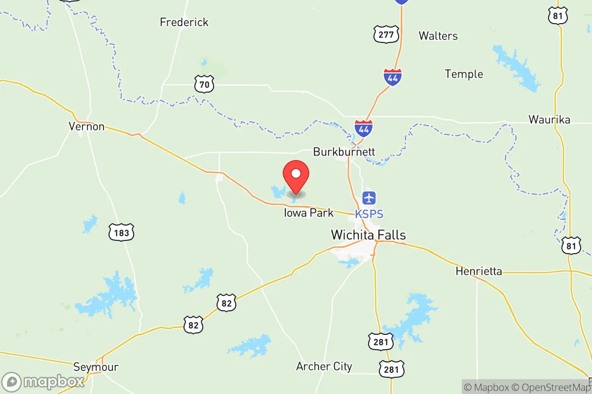
Demographics of Wichita County
Affluence Level in Wichita County
A middle-class area roughly in line with national averages across income, home values, education, and employment.
People of Wichita County
Wichita County, Texas, is home to roughly 130,000 residents, a population shaped by its origins as a frontier trading post and its evolution into a regional industrial and medical hub anchored by the city of Wichita Falls. The county’s character is distinctly Texan and conservative, with a population that is 63.3% White, 20.3% Hispanic, and 10.0% Black, and a notably low foreign-born share of just 3.7%. Its identity is rooted in oil, agriculture, and military aviation, with a demographic story that is less about new immigration and more about domestic migration, boom-and-bust cycles, and the slow diversification of a historically Anglo-Saxon and African American population.
Settlement & growth (pre-1960)
Before Anglo-American settlement, the area now known as Wichita County was a contested hunting ground for several Native nations, including the Wichita, Comanche, and Kiowa. The Wichita people, for whom the county is named, had established villages along the Red River and its tributaries, but by the mid-19th century, they had been displaced by the more powerful Comanche. The U.S. Army established Fort Sill to the north in present-day Oklahoma, and the 1867 Medicine Lodge Treaty pushed Native groups onto reservations, opening the region to white settlement.
The first permanent Anglo settlers arrived in the 1870s, drawn by the promise of cheap land and the expansion of the cattle industry. The town of Wichita Falls was founded in 1872 as a trading post on the Wichita River, and its early population was overwhelmingly native-born white settlers from the Upper South and Midwest—Tennessee, Kentucky, Missouri, and Arkansas. These were largely Scots-Irish and English stock, small farmers and ranchers who brought a fiercely independent, Protestant, and agrarian culture. The arrival of the Fort Worth and Denver City Railway in 1882 transformed Wichita Falls from a dusty frontier outpost into a regional shipping center for cotton and cattle. Nearby settlements like Iowa Park (founded 1889) and Electra (founded 1902) grew as agricultural service towns, their populations mirroring the county’s Anglo-Protestant majority.
The discovery of oil in 1910 at the Electra field triggered the county’s first major population boom. Wichita Falls became a wildcatter’s town, drawing white workers from the oil fields of Oklahoma, Kansas, and Pennsylvania, as well as a significant number of African American laborers from East Texas and Louisiana. By 1920, the county’s population had surged to over 72,000, and the Black community concentrated in the east side of Wichita Falls, particularly around the Booker T. Washington neighborhood and the town of Burkburnett, which also boomed during the 1918 oil strike. The Dust Bowl and Great Depression of the 1930s brought another wave of white migrants—the so-called “Okies” and “Arkies”—from the Southern Plains, many of whom settled in the county’s rural areas and small towns like Kamay and Valley View.
World War II and its aftermath cemented Wichita County’s modern identity. The establishment of Sheppard Air Force Base in 1941 brought a permanent military presence and a steady influx of service members and civilian employees from across the country. The base became the county’s largest employer, and its technical training mission attracted a diverse, though still predominantly white, population. By 1960, Wichita County’s population had reached 123,000, with Wichita Falls as the overwhelming urban center and smaller towns like Pleasanton and Haynesville serving as bedroom communities and agricultural hubs.
Modern era (post-1965)
The 1965 Hart-Cellar Act, which dramatically increased immigration from Asia and Latin America, had a relatively muted effect on Wichita County compared to major metropolitan areas. The county’s foreign-born population remains just 3.7% today, far below the national average. The most significant post-1965 demographic shift has been the growth of the Hispanic population, which rose from a negligible share in 1970 to 20.3% today. This growth has been driven primarily by domestic migration from South Texas and Mexico, with families moving north for jobs in oilfield services, construction, and agriculture. The Hispanic community is concentrated in Wichita Falls’ south side and in the town of Iowa Park, where many work in the sprawling cattle feedlots and meatpacking plants.
The African American population, at 10.0%, has remained relatively stable since the 1970s, though it has shifted from the historic east-side enclaves into more integrated neighborhoods in Wichita Falls and Burkburnett. The Black community’s roots in the county remain deep, tied to the oil boom and the post-war industrial economy. East/Southeast Asian residents, at 1.7%, are a small but visible presence, largely connected to Sheppard Air Force Base—many are military families of Filipino, Korean, or Vietnamese descent who settle in the base’s surrounding neighborhoods. The Indian subcontinent population, at 0.5%, is even smaller, consisting mostly of professionals in healthcare and engineering at the county’s hospitals and the base.
Domestic migration has been the real engine of change since 1965. The oil bust of the 1980s caused a sharp population decline, from a peak of 130,000 in 1982 to 115,000 by 1990, as workers fled to Houston and Dallas. Recovery came slowly, driven by the expansion of the medical sector (United Regional Health Care System) and the steady presence of Sheppard AFB. The 2010s saw a modest rebound, with population reaching 129,842 by 2020, fueled by retirees from the Rust Belt and younger families seeking affordable housing and conservative values. Suburbanization has been limited—Wichita Falls remains the dominant urban core, with no major exurban sprawl. The county’s small towns—Electra, Iowa Park, Burkburnett—have largely stagnated or declined, their populations aging and shrinking as young people move to the city or leave the county entirely.
The future
Wichita County’s population is projected to grow slowly, if at all, over the next 10-20 years. The Hispanic share will continue to rise, likely reaching 25-30% by 2040, driven by higher birth rates and continued domestic migration from South Texas. The White population will decline in share but remain the majority, while the Black and Asian shares are expected to hold steady. The county is not tribalizing into distinct ethnic enclaves—rather, it is slowly homogenizing into a more Hispanic-influenced, but still culturally conservative, Texan identity. New immigrant communities are not forming; the foreign-born share is too low to sustain enclaves, and most newcomers are native-born Americans from other parts of Texas or the South.
The biggest wildcard is Sheppard Air Force Base. Any future base realignment or closure would devastate the county’s economy and population, potentially triggering a repeat of the 1980s bust. Conversely, a new mission or expansion could bring a fresh wave of military families, including more Asian and Black residents. The county’s cultural identity—conservative, religious, gun-friendly, and rooted in oil and agriculture—is likely to persist, absorbing newcomers rather than being transformed by them. The small towns will continue to hollow out, while Wichita Falls will remain the sole population center, its growth constrained by limited economic diversification and a lack of major corporate headquarters.
For someone moving in now, Wichita County offers a stable, affordable, and culturally familiar environment—a place where demographic change is gradual and assimilation into the existing Anglo-Texan culture is the norm. It is not a melting pot of new arrivals, but a slow-evolving community where the past remains visible in the names of its towns and the values of its people. The future is one of modest, steady continuity, not dramatic transformation.
* Values derived from national, state, county, city and local statistics and may differ in a specific area. Last updated: 2026-05-29T09:46:32.000Z
Narrative content on this page is AI-generated and may contain mistakes. Verify any details that matter before acting on them.
ReloMaps may earn a commission from affiliate links at no extra cost to you.