Photo: Wikipedia
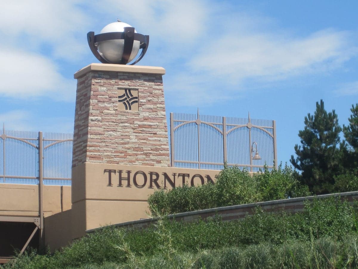
Strategic Assessment of Thornton, CO
Multiple tactical vulnerabilities. Population density, target proximity, or disaster risk are likely compounding. A retreat property and exit planning is required.
What does the Strategic Assessment tell us?
Our Strategic Assessment grades tactical survivability of an area. Major population centers, military targets, fallout zones, natural disasters, and border exposure all drive risk — lower exposure means a more defensible position in a crisis.
This is heavily inspired by Joel Skousen's Strategic Relocation book. Highly recommended you checkout the book ($)What does this tell us?
Our Strategic Assessment grades tactical survivability of an area. Major population centers, military targets, fallout zones, natural disasters, and border exposure all drive risk — lower exposure means a more defensible position in a crisis.
This is heavily inspired by Joel Skousen's Strategic Relocation book. Highly recommended you checkout the book ($)Strategic Pillars

Key Distances
Regional Safe Places
Below is our recommended "safe zones" in Colorado and the surrounding area based on our strategic heuristics. For most people, it's unrealistic to live in a “safe zone” full-time due to work, family or other personal reasons. They tend to be more rural. However, many of these areas are perfect for second homes and retreat properties that double as a vacation home or even a short-term rental.


Important Note: For informational purposes only. This does not mean nothing bad ever happens in the green zones. Please use common sense. This is based on public data and modeled with AI. We tried to take a conservative approach but mistakes happen. We update this regularly as new information becomes available.
Solar Generator Recommendations
Backup power matters more here than in safer locations. We've picked three solar generators across budgets and capacity tiers — start with the budget unit if you only need a few essentials, or step up if you want to run a fridge and HVAC for days at a time.

Jackery Portable Power Station Explorer 300
Budget OptionPower on the Go: Weighing only 11 lbs, it's convenient to set up and store with book-sized foldable solar panels

BLUETTI Portable Power Station AC180
Designed for both indoor and outdoor scenarios, AC180 is highly capable as it has a robost capacity and continuous output power.

EF ECOFLOW DELTA Pro Ultra Power Station
Upgraded PickEcoFlow DELTA Pro Ultra is a whole-home energy system designed to grow with your family. Integrated with the Smart Home Panel 2, it scales to meet your evolving energy needs — keeping your home powered, intelligent, and secure through every stage of life.
We earn a commission, at no additional cost to you.
Strategic Assessment Analysis
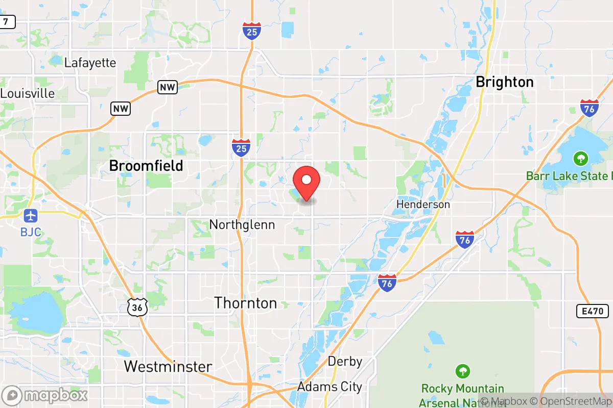
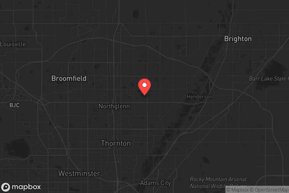
Thornton, Colorado, sits in a precarious but potentially workable position for the conservative prepper or survivalist. It offers a blend of suburban infrastructure and proximity to open plains, but its location directly north of Denver and within the I-25 corridor creates significant strategic liabilities. For someone serious about resilience—meaning the ability to withstand civic unrest, supply chain collapse, or a major disaster—Thornton is not a retreat; it is a forward operating base that requires careful planning and a clear understanding of its choke points and escape routes.
Geographic position and natural advantages for long-term survival
Thornton’s geography is a double-edged sword. It sits on the high plains at roughly 5,000 feet elevation, which provides a natural advantage in terms of cooler temperatures and reduced wildfire risk compared to foothill communities. The area is flat to gently rolling, which makes it relatively easy to navigate on foot or by bicycle if roads become impassable. The South Platte River runs through the eastern edge of the city, offering a potential water source, though it is heavily managed and polluted in stretches. The nearby Rocky Mountain Arsenal National Wildlife Refuge, while a former chemical weapons manufacturing site, is now a protected open space that could serve as a buffer zone to the east. For a relocator, the key natural advantage is the ability to move north into Weld County’s agricultural land or west into the foothills if needed. However, the city itself is a sprawling suburban grid with limited natural cover, making it less defensible than a rural homestead.
Risks, exposures, and proximity to fallout-relevant landmarks
The single biggest risk for Thornton is its proximity to Denver and the I-25 corridor. In a scenario involving mass casualty events, civil unrest, or a major disaster, Thornton would be directly in the path of any population exodus from the Denver metro area. The city is roughly 10 miles from downtown Denver and sits along major evacuation routes like I-25, US-85, and E-470. This means that in a crisis, Thornton could become a bottleneck or a target for looting and desperate individuals moving north. Additionally, the Rocky Mountain Arsenal is a known Superfund site with residual chemical contamination; while the risk of a catastrophic release is low, it is a non-zero factor. The Denver International Airport, about 15 miles southeast, is a potential target for terrorism or a staging area for federal response, which could bring unwanted attention to the region. For the survivalist, these are not deal-breakers, but they demand a layered defense plan and a low profile. The city’s population density—over 140,000 people in roughly 35 square miles—means that in a grid-down scenario, resources will deplete quickly, and neighbors may become competitors rather than allies.
Practical resilience for a relocator: food, water, energy, and defensibility
For a single individual or family looking to establish a resilient foothold, Thornton offers some practical advantages if approached correctly. Water is the most critical concern. The city draws from a mix of South Platte River water and deep aquifers, but in a prolonged outage, municipal supply will fail. A prepper should plan for at least two weeks of stored water per person, with a long-term strategy for rainwater catchment or a well—though well permits in Thornton are restricted. Food security is moderate; the area has several large grocery chains, but they will empty within 48 hours of a panic event. Local farmers’ markets and the proximity to Weld County’s agricultural output are positives, but you cannot rely on them in a crisis. Energy resilience is achievable: solar panels are viable given Colorado’s 300+ days of sun per year, and natural gas is widely available for backup heating. Defensibility is the weak point. Thornton’s suburban layout—with cul-de-sacs, tract homes, and limited sightlines—makes it hard to secure a perimeter. A corner lot with a basement and a fenced backyard is better than a middle-of-the-block house, but no suburban home is truly defensible against a determined group. The best strategy is to have a bug-out location north or west, with Thornton serving as a staging point for supplies and intel.
Overall, Thornton is a location for the strategic prepper who values access to urban resources but understands the need for redundancy and escape routes. It is not a standalone survival retreat, but it can work as part of a larger network of safe houses and caches. The conservative relocator should view it as a place to build community with like-minded neighbors, stockpile supplies, and maintain a low profile while keeping a vehicle ready to move north at the first sign of trouble. The area’s growth—Thornton’s population has nearly doubled since 2000—means that the window for affordable property is closing, and the social fabric is becoming more transient. If you are serious about resilience, treat Thornton as a base of operations, not a final destination. The plains to the north and the mountains to the west offer better long-term options, but for now, this city provides a reasonable balance of convenience and preparedness for those who are willing to do the work.
* Values derived from national, state, county, city and local statistics and may differ in a specific area. Last updated: 2026-05-02T12:31:51.000Z
Narrative content on this page is AI-generated and may contain mistakes. Verify any details that matter before acting on them.
ReloMaps may earn a commission from affiliate links at no extra cost to you.