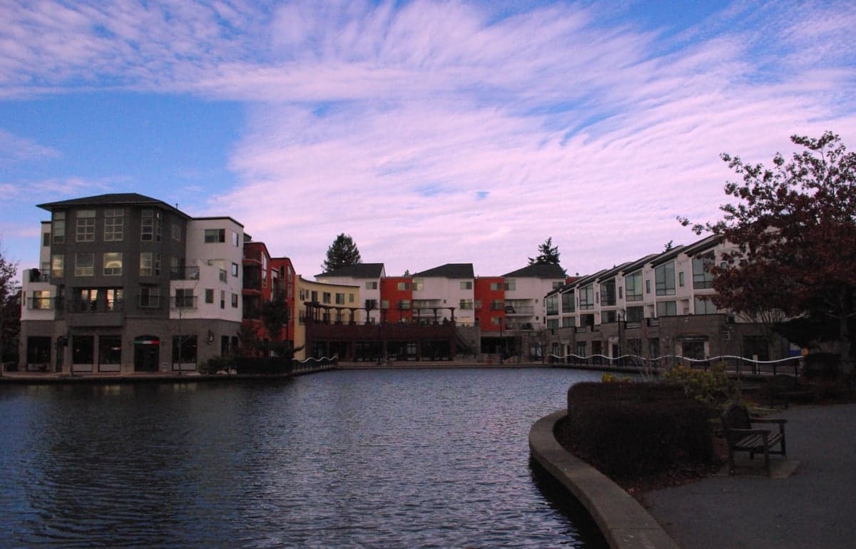
Photo: Wikipedia
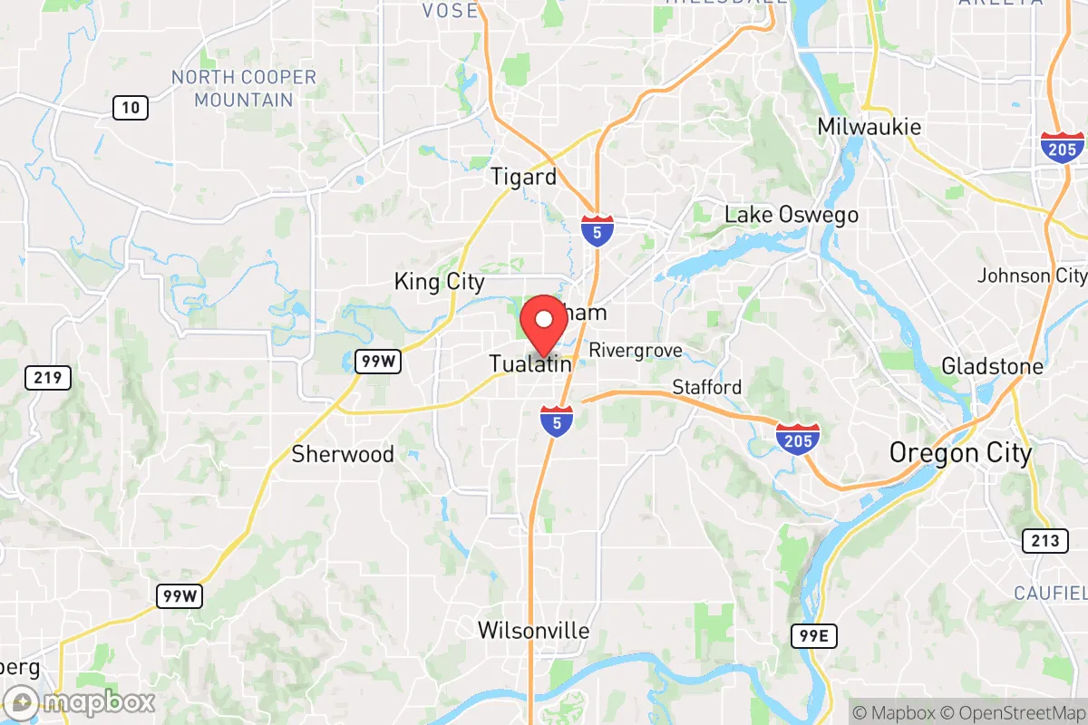
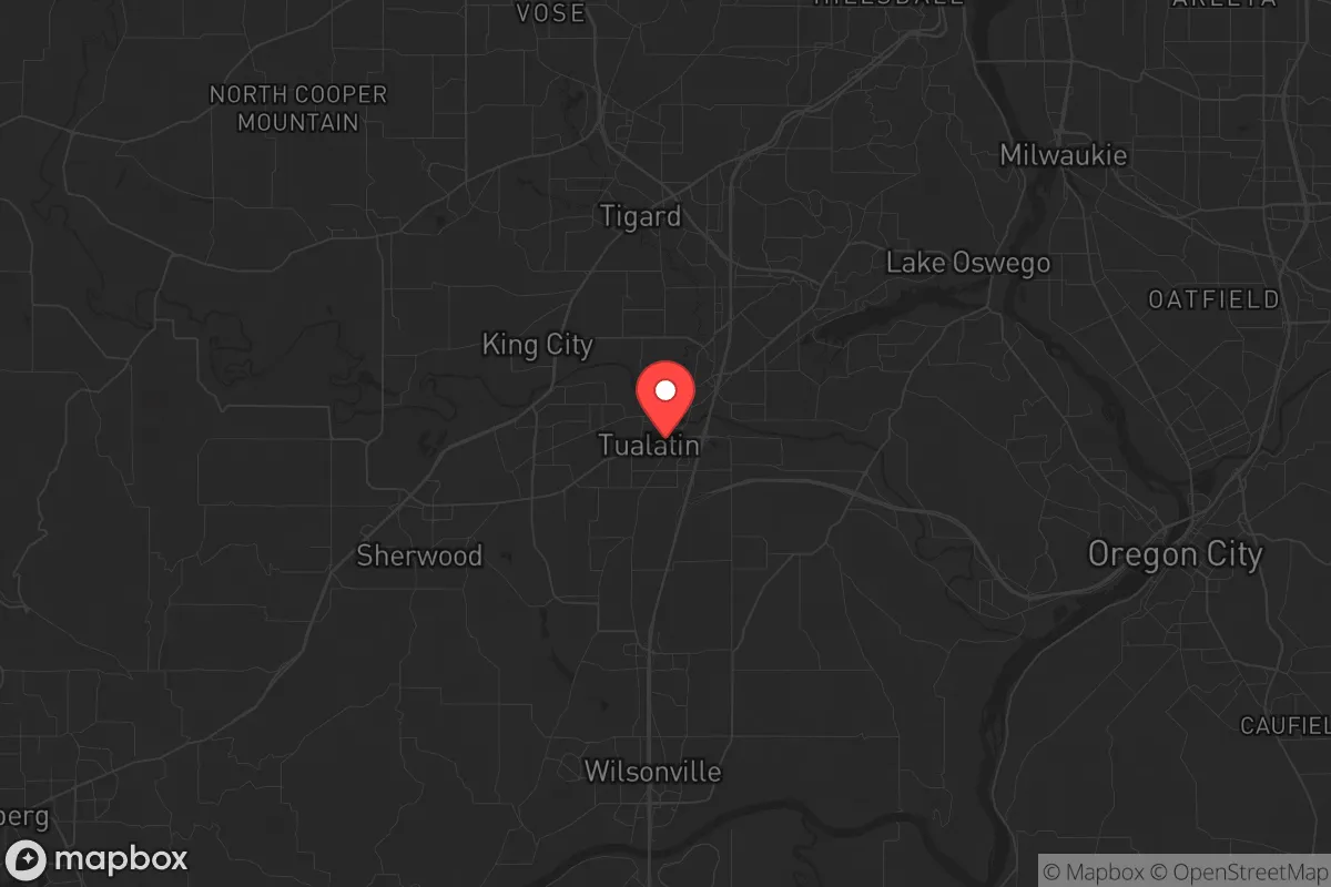
Strategic Assessment of Tualatin, OR
Multiple tactical vulnerabilities. Population density, target proximity, or disaster risk are likely compounding. A retreat property and exit planning is required.
What does the Strategic Assessment tell us?
Our Strategic Assessment grades tactical survivability of an area. Major population centers, military targets, fallout zones, natural disasters, and border exposure all drive risk — lower exposure means a more defensible position in a crisis.
This is heavily inspired by Joel Skousen's Strategic Relocation book. Highly recommended you checkout the book ($)What does this tell us?
Our Strategic Assessment grades tactical survivability of an area. Major population centers, military targets, fallout zones, natural disasters, and border exposure all drive risk — lower exposure means a more defensible position in a crisis.
This is heavily inspired by Joel Skousen's Strategic Relocation book. Highly recommended you checkout the book ($)Strategic Pillars

Key Distances
Regional Safe Places
Below is our recommended "safe zones" in Oregon and the surrounding area based on our strategic heuristics. For most people, it's unrealistic to live in a “safe zone” full-time due to work, family or other personal reasons. They tend to be more rural. However, many of these areas are perfect for second homes and retreat properties that double as a vacation home or even a short-term rental.


Important Note: For informational purposes only. This does not mean nothing bad ever happens in the green zones. Please use common sense. This is based on public data and modeled with AI. We tried to take a conservative approach but mistakes happen. We update this regularly as new information becomes available.
Solar Generator Recommendations
Backup power matters more here than in safer locations. We've picked three solar generators across budgets and capacity tiers — start with the budget unit if you only need a few essentials, or step up if you want to run a fridge and HVAC for days at a time.

Jackery Portable Power Station Explorer 300
Budget OptionPower on the Go: Weighing only 11 lbs, it's convenient to set up and store with book-sized foldable solar panels

BLUETTI Portable Power Station AC180
Designed for both indoor and outdoor scenarios, AC180 is highly capable as it has a robost capacity and continuous output power.

EF ECOFLOW DELTA Pro Ultra Power Station
Upgraded PickEcoFlow DELTA Pro Ultra is a whole-home energy system designed to grow with your family. Integrated with the Smart Home Panel 2, it scales to meet your evolving energy needs — keeping your home powered, intelligent, and secure through every stage of life.
We earn a commission, at no additional cost to you.
Strategic Assessment Analysis
Tualatin, Oregon, sits in a precarious strategic position that demands serious consideration for anyone prioritizing long-term resilience. Located roughly 12 miles south of Portland and 6 miles north of Wilsonville, this suburb of about 28,000 residents benefits from the economic and infrastructure advantages of the Willamette Valley while being close enough to major urban centers to inherit their risks. For a relocator with a survivalist mindset, Tualatin offers a mixed bag: decent access to natural resources and defensible terrain, but proximity to population-dense areas that could become hotspots for civil unrest, supply chain collapse, or fallout-related events. The key is understanding whether the trade-offs align with your specific preparedness goals.
Geographic position and natural advantages for long-term survival
Tualatin’s location along the Tualatin River and within the Tualatin Valley provides several natural advantages that a prepper should note. The area sits in a fertile agricultural basin, with the Chehalem Mountains to the southwest and the Tualatin Mountains (West Hills) to the east, offering some natural shielding from direct blast or fallout patterns originating from Portland or the Columbia River corridor. The valley’s soil is rich and well-suited for small-scale farming, and the region receives about 40 inches of rainfall annually, meaning water scarcity is less of an immediate concern compared to drier parts of the West. The Tualatin River itself, while not a major waterway, provides a reliable surface water source for filtration and irrigation if municipal systems fail. Additionally, the area’s proximity to the Coast Range and Cascade foothills—both within a 30- to 60-minute drive—offers retreat options into more remote, forested terrain if urban conditions deteriorate. For a relocator, this means you have a buffer zone of rural and semi-rural land to the west and south, which could serve as fallback positions or resupply routes.
Risks, exposures, and proximity to fallout-relevant landmarks
The most significant strategic downside of Tualatin is its proximity to Portland, a major metropolitan area with a population exceeding 650,000 within city limits and over 2.5 million in the metro region. In a scenario involving civil unrest, mass casualty events, or a WMD incident—whether from domestic terrorism, state-sponsored attack, or industrial accident—Tualatin lies within the likely fallout and refugee flow zones. Interstate 5 runs directly through the city, making it a primary evacuation corridor for Portland residents heading south, which could quickly turn into a chokepoint for gridlock, looting, or hostile encounters. The city is also within 20 miles of the Portland International Airport, a high-value target, and within 50 miles of the U.S. Navy’s Naval Weapons Systems Training Facility at Boardman, though that’s further east. More immediately, Tualatin is surrounded by industrial parks and tech campuses—including Intel’s massive Ronler Acres campus in nearby Hillsboro—which could become secondary targets or sources of hazardous material releases. The Willamette River, while a resource, also concentrates industrial infrastructure along its banks, including chemical storage and fuel depots. For a prepper, the takeaway is clear: Tualatin is not a remote sanctuary; it’s a suburban buffer zone that will see the first wave of spillover from any Portland-centric crisis.
Practical resilience for a relocator: food, water, energy, and defensibility
On the practical side, Tualatin offers some resilience features that a relocator can leverage, but they require active preparation. The city’s water supply comes from the Tualatin River and groundwater wells, treated by the Tualatin Valley Water District. In a grid-down scenario, the river is accessible but will require robust filtration—think ceramic or gravity-fed systems—due to agricultural runoff and potential contamination. Food resilience is moderate: the surrounding farmland produces berries, hazelnuts, and wine grapes, but the area is not a grain basket. Local farmers’ markets and CSAs exist, but you’d need to establish relationships with growers before a crisis. Energy-wise, Tualatin is served by Portland General Electric, which relies on a mix of hydro, natural gas, and wind. The grid is vulnerable to seismic events—the Cascadia Subduction Zone is a known risk—and ice storms have caused multi-day outages in recent years. Solar panels with battery storage are a wise investment here, as the region gets only about 144 sunny days per year, meaning you’ll need a larger array than in sunnier states. Defensibility is a mixed bag: Tualatin’s residential neighborhoods are typical suburban sprawl, with cul-de-sacs and arterial roads that can be barricaded but also easily bypassed. The city lacks natural defensive chokepoints like mountain passes or river fords, though the Tualatin River itself could serve as a partial barrier if bridges are controlled. For a single individual or family, a well-chosen property on the western edge of town, near the Chehalem Mountains, offers better defensibility than a home near I-5 or the industrial corridor.
Overall, Tualatin presents a calculated risk for the strategic relocator. It’s not a bug-out location or a self-sufficient homestead, but it could work as a staging area for someone who wants proximity to Portland’s economic opportunities while maintaining a foot in more resilient terrain. The smart play here is to treat Tualatin as a base camp, not a fortress. Stockpile supplies for at least 90 days, invest in water filtration and off-grid power, and have a pre-planned retreat route into the Coast Range or Cascade foothills. If you’re willing to accept the urban proximity trade-off—and the associated risks of civil unrest and fallout exposure—Tualatin’s agricultural potential and water access make it a viable option for the prepared individual or family. Just don’t mistake it for a safe haven; it’s a suburb with a target on its back, and your survival will depend on how seriously you take that reality.
* Values derived from national, state, county, city and local statistics and may differ in a specific area. Last updated: 2026-04-19T11:31:06.000Z
Narrative content on this page is AI-generated and may contain mistakes. Verify any details that matter before acting on them.
ReloMaps may earn a commission from affiliate links at no extra cost to you.