 Popular
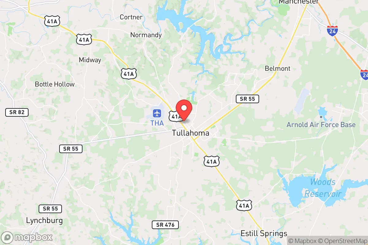
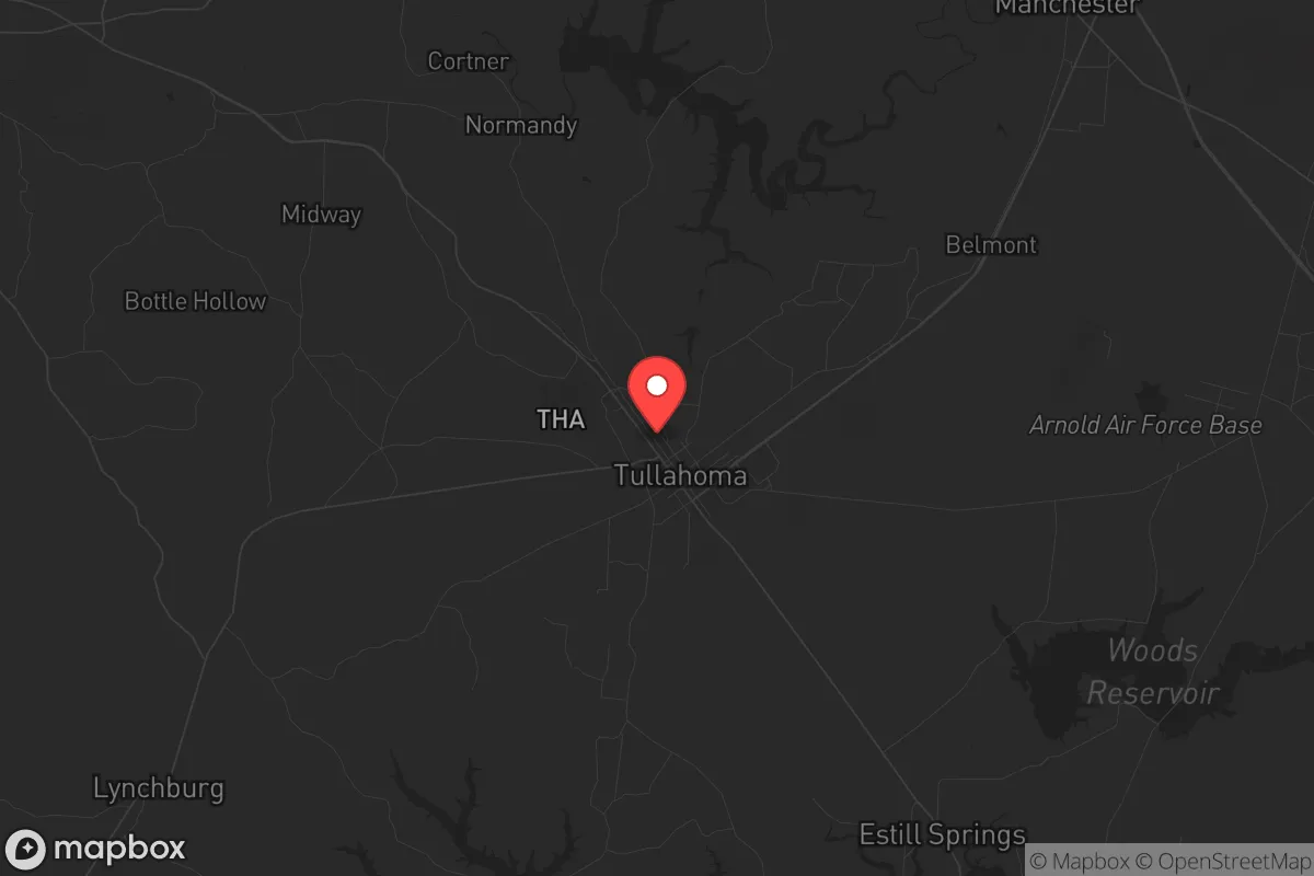
Photo: Wikipedia
Strategic Assessment of Tullahoma, TN
Workable tactical position. Some exposure to population density or targets, but generally defensible in a crisis.
What does the Strategic Assessment tell us?
Our Strategic Assessment grades tactical survivability of an area. Major population centers, military targets, fallout zones, natural disasters, and border exposure all drive risk — lower exposure means a more defensible position in a crisis.
This is heavily inspired by Joel Skousen's Strategic Relocation book. Highly recommended you checkout the book ($)What does this tell us?
Our Strategic Assessment grades tactical survivability of an area. Major population centers, military targets, fallout zones, natural disasters, and border exposure all drive risk — lower exposure means a more defensible position in a crisis.
This is heavily inspired by Joel Skousen's Strategic Relocation book. Highly recommended you checkout the book ($)Strategic Pillars

Key Distances
Regional Safe Places
Below is our recommended "safe zones" in Tennessee and the surrounding area based on our strategic heuristics. For most people, it's unrealistic to live in a “safe zone” full-time due to work, family or other personal reasons. They tend to be more rural. However, many of these areas are perfect for second homes and retreat properties that double as a vacation home or even a short-term rental.
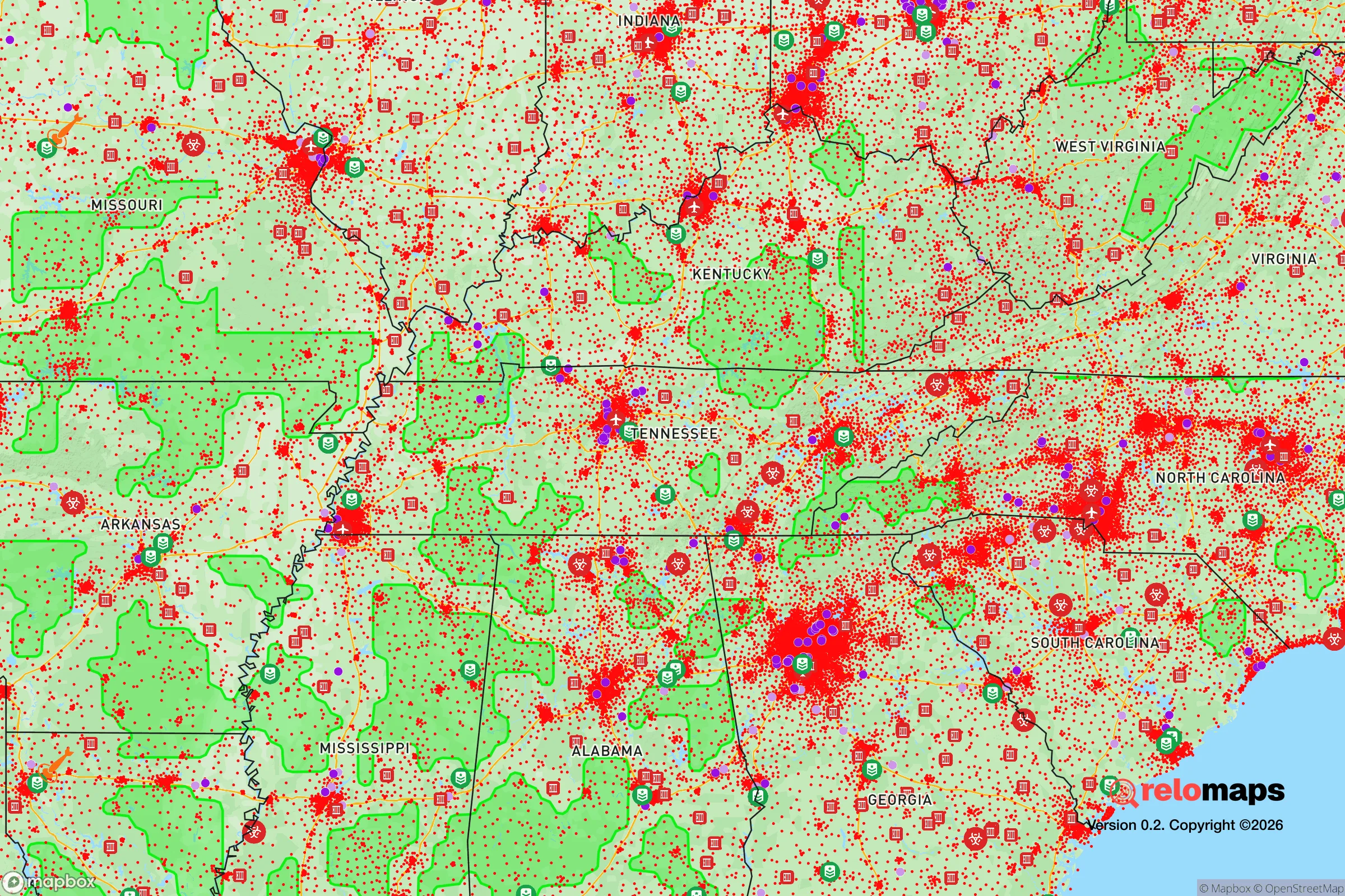
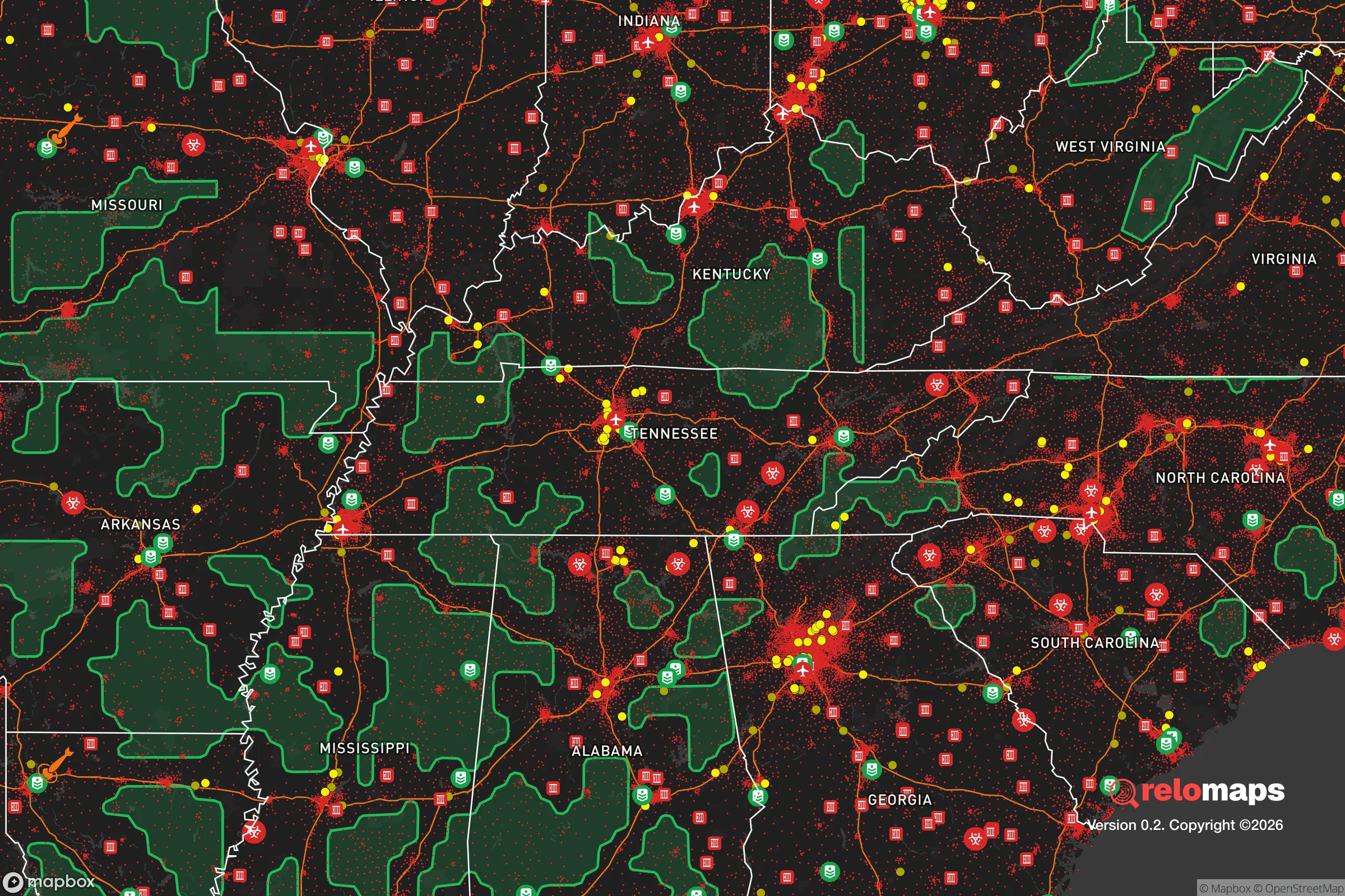
Important Note: For informational purposes only. This does not mean nothing bad ever happens in the green zones. Please use common sense. This is based on public data and modeled with AI. We tried to take a conservative approach but mistakes happen. We update this regularly as new information becomes available.
Solar Generator Recommendations
Backup power matters more here than in safer locations. We've picked three solar generators across budgets and capacity tiers — start with the budget unit if you only need a few essentials, or step up if you want to run a fridge and HVAC for days at a time.

Jackery Portable Power Station Explorer 300
Budget OptionPower on the Go: Weighing only 11 lbs, it's convenient to set up and store with book-sized foldable solar panels

BLUETTI Portable Power Station AC180
Designed for both indoor and outdoor scenarios, AC180 is highly capable as it has a robost capacity and continuous output power.

EF ECOFLOW DELTA Pro Ultra Power Station
Upgraded PickEcoFlow DELTA Pro Ultra is a whole-home energy system designed to grow with your family. Integrated with the Smart Home Panel 2, it scales to meet your evolving energy needs — keeping your home powered, intelligent, and secure through every stage of life.
We earn a commission, at no additional cost to you.
Strategic Assessment Analysis
Tullahoma, Tennessee, occupies a strategic sweet spot in the upper South that resilience-minded relocators should take seriously. Situated roughly midway between Nashville and Chattanooga, this city of about 20,000 sits on the Highland Rim, a plateau that offers natural elevation advantages without the extreme isolation of deep Appalachia. Its location provides a meaningful buffer from the immediate blast zones and civil unrest corridors of major metropolitan areas while still maintaining practical access to supply chains and medical infrastructure. For those assessing long-term survivability in an era of increasing instability, Tullahoma presents a compelling mix of geographic insulation, industrial self-sufficiency, and community scale that warrants a hard look.
Geographic position and natural advantages for long-term security
Tullahoma's elevation on the Highland Rim—roughly 1,000 feet above sea level—provides a natural defensive advantage over the surrounding lowlands. The area is characterized by rolling hills, hardwood forests, and numerous spring-fed creeks, which offer both cover and reliable water sources. Unlike the flood-prone valleys of Middle Tennessee, Tullahoma sits on well-drained limestone bedrock, reducing risks from flash flooding and enabling stable construction for underground shelters or root cellars. The region's karst topography also means numerous caves and sinkholes exist in the broader area, which could serve as natural bunkers or storage sites for prepared individuals. The city is roughly 70 miles from Nashville and 60 miles from Chattanooga—close enough for a day trip to stock supplies or access specialty medical care, but far enough that a major urban disaster or civil unrest event in either city would likely not directly impact Tullahoma for days, if at all. The surrounding Coffee County is sparsely populated outside the city limits, with vast tracts of farmland and forest that provide both agricultural potential and operational security.
Risks, exposures, and proximity to fallout-relevant landmarks
No strategic assessment is complete without acknowledging the liabilities. Tullahoma's most significant exposure is its proximity to Arnold Air Force Base, located just south of the city. This is a major research and testing facility for the U.S. Air Force, including work on propulsion systems and hypersonics. While the base itself is not a nuclear weapons storage site, it is a high-value military target in any peer-level conflict. The base employs roughly 2,500 civilians and military personnel, meaning a sudden evacuation or attack could overwhelm local roads and resources. Additionally, Interstate 24 runs about 20 miles north of Tullahoma, and Interstate 65 is about 30 miles west. These are primary evacuation routes from Nashville and Chattanooga, and in a mass casualty event or civil unrest scenario, they could become clogged with refugees or subject to checkpoints. The city also lies within the broader Tennessee Valley, which includes multiple dams and nuclear facilities—the Sequoyah Nuclear Plant near Chattanooga is about 80 miles southeast. A catastrophic failure there could theoretically affect wind-borne fallout patterns, though prevailing winds typically carry eastward. On balance, Tullahoma's risks are moderate: it is not a primary target, but it is not a remote wilderness either. The prudent relocator should plan for a 72-hour self-sufficiency window and have a secondary bug-out location deeper into the Cumberland Plateau.
Practical resilience for a relocator: food, water, energy, and defensibility
For the individual or family looking to establish a resilient homestead, Tullahoma offers several practical advantages. Water is abundant: the Elk River runs along the city's southern edge, and the Duck River system is nearby. Both are perennial streams with good water quality, though filtration and boiling are recommended. The average annual rainfall is about 55 inches, making rainwater catchment a viable primary water strategy. The growing season runs roughly April through October, with fertile limestone-based soils that support gardens, orchards, and small livestock. Local zoning in the county areas is minimal, allowing for chickens, goats, and even larger animals without excessive bureaucratic hurdles. Energy resilience is feasible: the region has good solar exposure, and many rural properties already rely on propane or wood heat. The city's municipal power utility is reliable, but a grid-down scenario would require backup generation or solar-plus-battery systems. Defensibility varies by property. The terrain offers natural chokepoints and good lines of sight on ridge-top parcels, while valley properties are more vulnerable to approach. The local population is predominantly conservative, with a strong hunting and firearms culture—meaning neighbors are likely to be armed and capable, which can be either a deterrent or a risk depending on community cohesion. The Tullahoma Police Department and Coffee County Sheriff's Office are professional but small; response times in rural areas can exceed 20 minutes. For those serious about security, a rural property outside city limits with a well, septic, and solar is the gold standard here.
The overall strategic picture for Tullahoma is one of moderate resilience with manageable trade-offs. It is not a prepper's paradise like the remote Rockies or the Alaskan bush, but it offers a realistic balance for someone who wants to stay within a day's drive of urban resources while maintaining a defensible, self-sufficient lifestyle. The city's industrial base—including aerospace and manufacturing—means local employment options exist even in a downturn, and the community's cultural alignment with self-reliance and preparedness is a soft asset that cannot be overstated. For the conservative relocator looking to weather the coming storms without disappearing into the wilderness, Tullahoma deserves a spot on the short list. Just keep an eye on Arnold Air Force Base and have a plan for the interstates.
* Values derived from national, state, county, city and local statistics and may differ in a specific area. Last updated: 2026-05-01T11:46:04.000Z
Narrative content on this page is AI-generated and may contain mistakes. Verify any details that matter before acting on them.
ReloMaps may earn a commission from affiliate links at no extra cost to you.