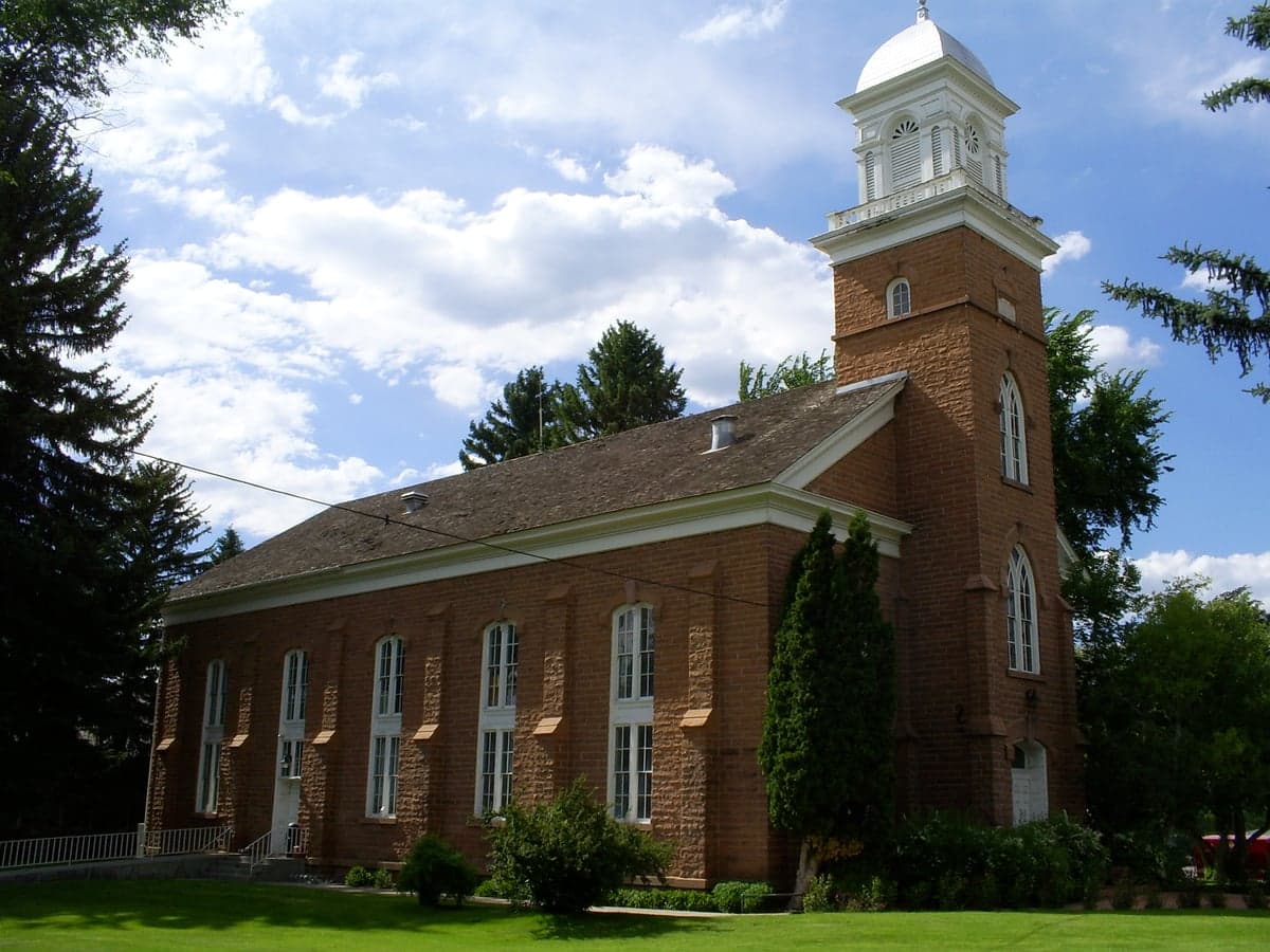
Photo: Wikipedia
Strategic Assessment of Wasatch County
Strong survivability profile. Good buffer from population centers, with manageable environmental and tactical risks.
What does the Strategic Assessment tell us?
Our Strategic Assessment grades tactical survivability of an area. Major population centers, military targets, fallout zones, natural disasters, and border exposure all drive risk — lower exposure means a more defensible position in a crisis.
This is heavily inspired by Joel Skousen's Strategic Relocation book. Highly recommended you checkout the book ($)What does this tell us?
Our Strategic Assessment grades tactical survivability of an area. Major population centers, military targets, fallout zones, natural disasters, and border exposure all drive risk — lower exposure means a more defensible position in a crisis.
This is heavily inspired by Joel Skousen's Strategic Relocation book. Highly recommended you checkout the book ($)Strategic Pillars

Key Distances
Strategic Assessment Analysis
Wasatch County, Utah, offers a compelling strategic position for relocators prioritizing resilience and self-sufficiency, balancing proximity to the Wasatch Front’s economic engine with the defensive depth of the Uinta-Wasatch-Cache National Forest. The county’s geography—anchored by Heber City and the Jordanelle Reservoir—provides a natural buffer from the densest population centers while maintaining access to critical infrastructure along the US-40 and I-80 corridors. For those assessing long-term stability, the area’s elevation (roughly 5,600 feet in Heber City), water resources, and limited industrial exposure create a profile that is neither isolated nor overexposed, though specific risks merit careful evaluation.
Geographic position and natural advantages for long-term stability
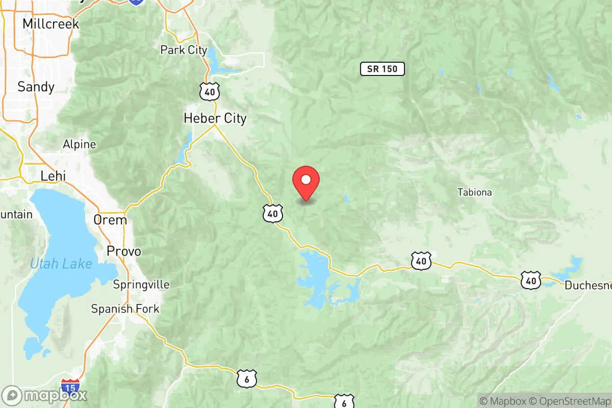
Wasatch County sits in a high mountain valley roughly 40 miles southeast of Salt Lake City, placing it outside the immediate blast or fallout zones of major urban targets while still within a reasonable commute for employment or supply runs. The county’s defining natural asset is the Jordanelle Reservoir, a 3,000-acre water body that serves as both a recreational hub and a strategic water reserve for the region. The Provo River and Deer Creek Reservoir add further redundancy, giving the area a multi-source water supply that is rare in the Intermountain West. The surrounding Wasatch Range creates a natural defensive perimeter—access is funneled through a handful of mountain passes (US-40 through Daniels Canyon, US-189 through Provo Canyon), which could be monitored or controlled if needed. For a relocator, this means the county is not a dead-end but a controlled-access basin with multiple exit routes east toward the Uinta Basin or south toward Price. The valley floor’s agricultural soils, particularly around Midway and Charleston, support small-scale farming and livestock operations, a practical advantage for those planning food self-sufficiency.
Risks, exposures, and proximity to fallout-relevant landmarks
While Wasatch County avoids the highest-risk zones, it is not immune to man-made or natural threats. The most significant exposure is its proximity to Hill Air Force Base (roughly 50 miles northwest), a major logistics and munitions hub that could be a target in a conflict scenario. Fallout patterns from a strike on Hill AFB would depend on prevailing winds, which in this region typically blow from the southwest, meaning the county could be downwind depending on the season. Additionally, the Salt Lake City International Airport and the Kennecott Copper Mine (Bingham Canyon) are within 60 miles—both are potential secondary targets or industrial accident sources. On the natural risk side, the county sits in a seismically active zone; the Wasatch Fault runs along the western edge of the valley, and a major earthquake (M7.0 or greater) could disrupt roads, power lines, and water infrastructure for weeks. Wildfire risk is moderate but growing, particularly in the wildland-urban interface around Francis and Woodland. Flooding from snowmelt or dam failure (Jordanelle Dam) is a low-probability but high-consequence scenario for properties along the Provo River corridor. For a relocator, the key takeaway is that Wasatch County is not a zero-risk zone, but its risks are primarily natural and manageable with proper site selection—avoiding low-lying floodplains and ensuring defensible space against fire.
Practical resilience for a relocator: food, water, energy, and defensibility
For someone serious about self-sufficiency, Wasatch County’s practical resilience metrics are mixed but generally favorable. Water is the strongest asset: the county has senior water rights on the Provo River system, and the Jordanelle Reservoir provides a multi-year storage buffer even during drought. Many homes in the Heber Valley have private wells or shares in irrigation companies, offering off-grid water options that are rare in more arid parts of Utah. Food production is viable but limited by the short growing season (roughly 90-110 frost-free days) and alkaline soils. However, the county’s agricultural heritage means there are established networks for local beef, dairy, and hay—the Heber Valley Farmers Market and local CSAs provide direct access to producers. For those willing to invest in greenhouses or cold frames, the long summer daylight hours (due to latitude) can offset the short season. Energy resilience is improving but not yet robust. Rocky Mountain Power serves the grid, which is vulnerable to winter storms and seismic events. Solar potential is excellent (over 300 sunny days per year), but net metering policies and battery storage costs are barriers for many. Natural gas is available in Heber City and Midway, but propane is the norm for rural properties. Defensibility is a mixed picture: the valley’s terrain provides natural chokepoints at the canyon entrances, but the county’s population (roughly 35,000) is spread across a wide area, making community-level security coordination difficult. The Wasatch County Sheriff’s Office is well-regarded but has limited resources for a dispersed population. For a relocator, the most practical approach is to choose a property with good sightlines, a defensible water source, and a community of like-minded neighbors—areas like the Lake Creek or Center Creek neighborhoods offer a balance of seclusion and mutual support.
Overall, Wasatch County presents a strong strategic option for the resilience-minded relocator who wants to stay connected to the Wasatch Front’s economy and healthcare infrastructure while maintaining a buffer from its highest-risk zones. The county’s water abundance, controlled-access geography, and agricultural base give it a foundation that many Western mountain towns lack. However, it is not a bug-out location—it is a working valley with real exposure to seismic and wildfire risks, and its proximity to Hill AFB and Salt Lake City means it cannot be considered a true remote redoubt. For a family or individual willing to invest in site-specific hardening (seismic retrofits, fire-resistant construction, backup power and water), Wasatch County offers a defensible, resource-rich base that balances access and security better than most areas within a two-hour drive of a major metropolitan center. The key is to treat it as a long-term home, not a temporary refuge—and to build relationships with the existing community of ranchers, farmers, and outdoor enthusiasts who already understand the valley’s rhythms and risks.

* Values derived from national, state, county, city and local statistics and may differ in a specific area. Last updated: 2026-10-14T19:01:05.000Z
Narrative content on this page is AI-generated and may contain mistakes. Verify any details that matter before acting on them.
ReloMaps may earn a commission from affiliate links at no extra cost to you.

